Carr Wood
Wood, Forest in Derbyshire Derbyshire Dales
England
Carr Wood
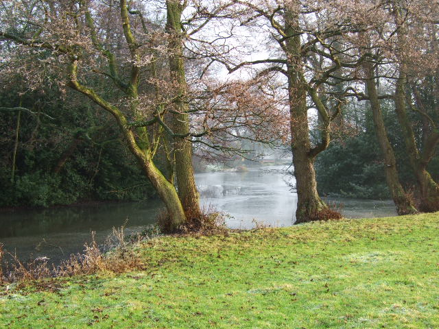
Carr Wood, located in Derbyshire, is a picturesque forest area that covers an expansive area of approximately 200 acres. Situated in the heart of the Peak District National Park, it is a popular destination for both locals and tourists seeking to immerse themselves in nature.
The wood is characterized by its diverse range of trees, including oak, birch, and beech, which provide a stunning display of colors throughout the year. This contributes to the wood's appeal, particularly during the autumn months when the foliage adorns the landscape with vibrant hues.
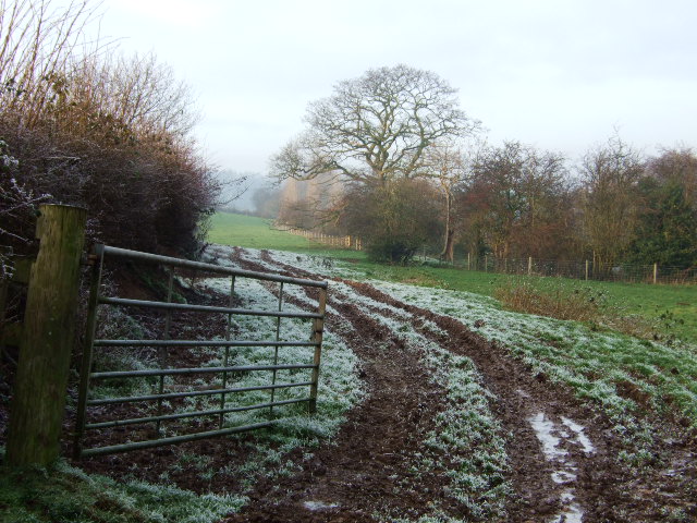
The forest is intersected by a network of well-maintained trails, making it an ideal location for leisurely walks, jogging, or cycling. These pathways offer visitors the opportunity to explore the wood's charming nooks and crannies, as well as discover hidden streams and small waterfalls that add to the enchanting atmosphere.
Wildlife is abundant in Carr Wood, with an array of species calling it home. Birdwatchers will be delighted by the presence of various woodland birds, such as woodpeckers, owls, and thrushes. Squirrels can also be spotted scurrying among the treetops, while deer occasionally make appearances, adding to the woodland's natural beauty.
For those seeking a tranquil retreat or a peaceful picnic spot, Carr Wood provides several dedicated areas with benches and picnic tables, where visitors can relax and soak in the serenity. Additionally, the wood offers camping facilities for those wishing to extend their stay and fully immerse themselves in the forest's tranquility.
Overall, Carr Wood in Derbyshire offers a captivating experience for nature enthusiasts, providing a haven of natural beauty and a respite from the hustle and bustle of everyday life.
If you have any feedback on the listing, please let us know in the comments section below.
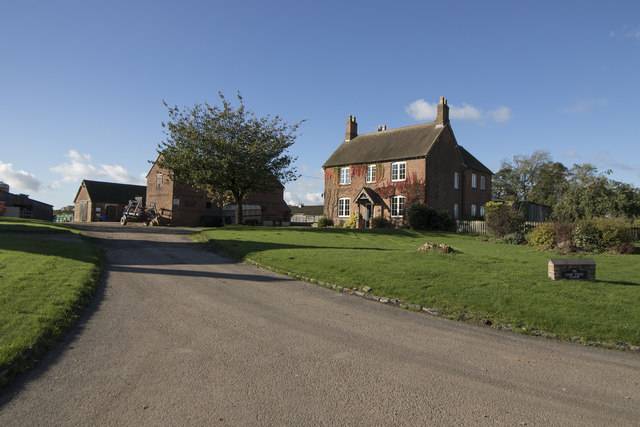
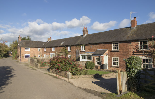
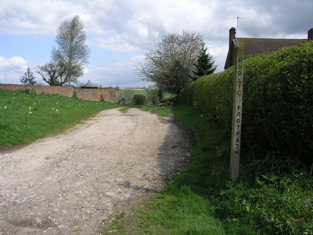
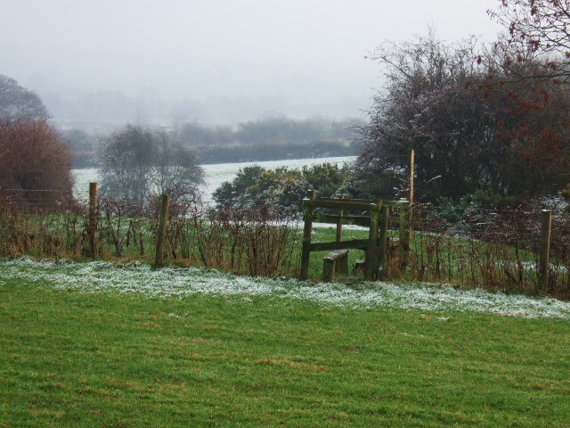
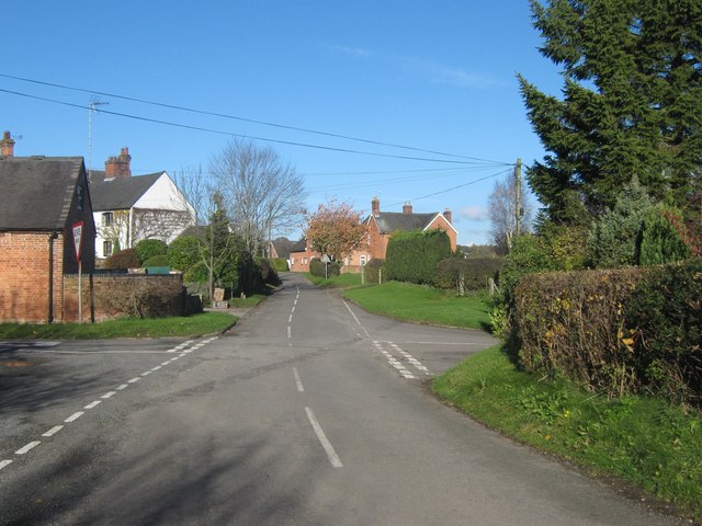
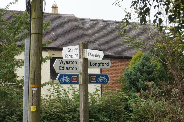
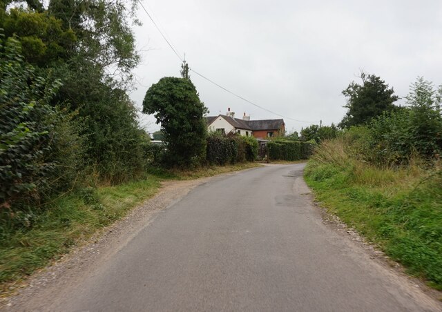
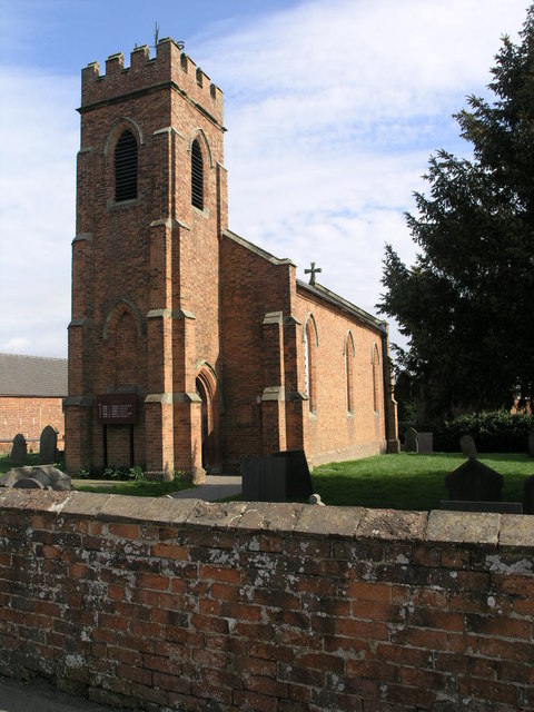
Carr Wood Images
Images are sourced within 2km of 52.958322/-1.7134017 or Grid Reference SK1940. Thanks to Geograph Open Source API. All images are credited.


Carr Wood is located at Grid Ref: SK1940 (Lat: 52.958322, Lng: -1.7134017)
Administrative County: Derbyshire
District: Derbyshire Dales
Police Authority: Derbyshire
What 3 Words
///shout.glue.uncouth. Near Mayfield, Staffordshire
Nearby Locations
Related Wikis
Yeaveley
Yeaveley is a small village and civil parish near Rodsley and 4 miles south of Ashbourne in Derbyshire. The population of the civil parish (including Rodsley...
Holy Trinity Church, Yeaveley
Holy Trinity Church, Yeaveley is a Grade II listed parish church in the Church of England: 362 in Yeaveley, Derbyshire. == History == The foundation stone...

Rodsley
Rodsley is a small village and civil parish about 4 miles (6 km) south of Ashbourne in Derbyshire. As the population of the village was less than 100 at...

Hungry Bentley
Hungry Bentley is a deserted medieval village and civil parish in the Derbyshire Dales district of Derbyshire, England, between Uttoxeter and Derby. The...

Stydd Hall
Stydd Hall (Castle) is a country house located near to the village of Yeaveley, Derbyshire, 15 miles (24 km) west of Derby, close to the A515 between Wyaston...

Yeaveley Preceptory
Yeaveley Preceptory, also known as Stydd Preceptory, was a preceptory of the Knights Hospitaller, near the village of Yeaveley, in Derbyshire, England...
Wyaston
Wyaston is a hamlet in Derbyshire, England. It is located 3 miles south of Ashbourne. Wyaston is in the civil parish of Edlaston and Wyaston. This is 1...

Alkmonton medieval settlement
Alkmonton medieval settlement is an archaeological site, a deserted medieval village near the present-day village of Alkmonton, about 5 miles (8 km) south...
Nearby Amenities
Located within 500m of 52.958322,-1.7134017Have you been to Carr Wood?
Leave your review of Carr Wood below (or comments, questions and feedback).