Burfordhill Copse
Wood, Forest in Gloucestershire Cotswold
England
Burfordhill Copse

Burfordhill Copse is a serene woodland located in the county of Gloucestershire, England. Situated on the outskirts of the picturesque town of Burford, this copse is a hidden gem that attracts nature enthusiasts and visitors seeking tranquility.
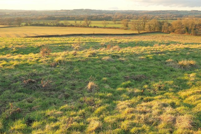
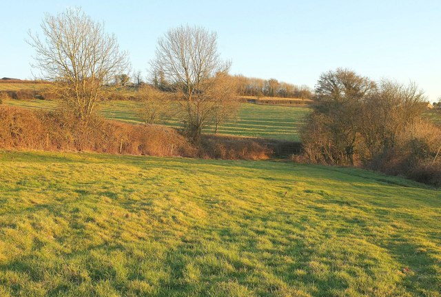
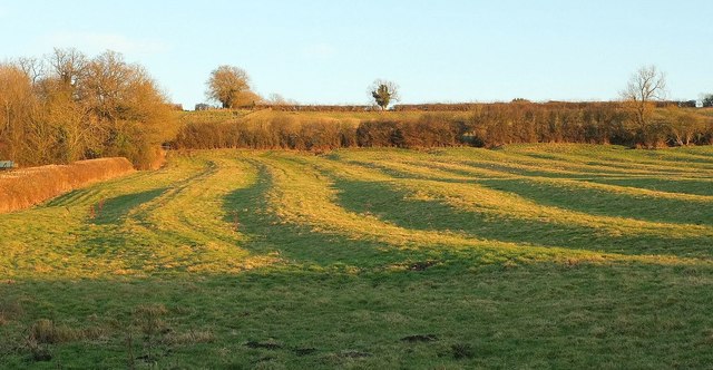
Covering an area of approximately 50 acres, Burfordhill Copse is a diverse forest composed of a variety of tree species, including oak, beech, ash, and birch. These tall, majestic trees create a dense canopy that provides shade and shelter for a plethora of wildlife. The forest floor is adorned with a rich carpet of wildflowers, ferns, and moss, adding to the copse's enchanting beauty.
Visitors can explore the copse through a network of well-maintained walking trails. These paths wind through the woodland, offering glimpses of sunlight filtering through the trees and creating a mesmerizing play of light and shadows. The trails are suitable for all ages and abilities, making it an ideal destination for families and nature lovers alike.
Birdwatchers will be delighted by the copse's avian residents, including woodpeckers, warblers, and owls. Meanwhile, small mammals such as rabbits, squirrels, and hedgehogs scuttle amongst the undergrowth, adding an element of charm to the woodland experience.
Burfordhill Copse offers a peaceful retreat from the hustle and bustle of daily life. It is a place where one can immerse themselves in nature's beauty, listen to the melodious songs of birds, and appreciate the wonders of the natural world.
If you have any feedback on the listing, please let us know in the comments section below.
Burfordhill Copse Images
Images are sourced within 2km of 51.866547/-1.7204878 or Grid Reference SP1918. Thanks to Geograph Open Source API. All images are credited.


Burfordhill Copse is located at Grid Ref: SP1918 (Lat: 51.866547, Lng: -1.7204878)
Administrative County: Gloucestershire
District: Cotswold
Police Authority: Gloucestershire
What 3 Words
///giggled.huts.spaceship. Near Bourton on the Water, Gloucestershire
Nearby Locations
Related Wikis

Great Rissington
Great Rissington is a village in the Cotswold district of Gloucestershire, England. The population taken at the 2011 census was 367. == History == In the...

RAF Little Rissington
Royal Air Force Little Rissington or more simply RAF Little Rissington (ICAO: EGVL) is an Royal Air Force satellite station in Gloucestershire, England...

River Dikler
The River Dikler is a short river in the Cotswold District of Gloucestershire which flows for 12 kilometres (7.5 mi) through Upper Swell and to the west...

Upper Rissington
Upper Rissington is a village and civil parish in the Cotswold district of Gloucestershire, England. It is located about two-and-a-half miles east of Bourton...

Little Rissington
Little Rissington is a village and civil parish about 3+1⁄2 miles (6 km) south of Stow-on-the-Wold in the Cotswold District of Gloucestershire, England...

River Eye, Gloucestershire
The River Eye is a short river in the Cotswold District of Gloucestershire which flows for 7.6 kilometres (4.7 mi) through the villages of Upper Slaughter...

Bourton Rovers F.C.
Bourton Rovers Football Club is a football club based in Bourton-on-the-Water, Gloucestershire, England. Affiliated to the Gloucestershire County Football...
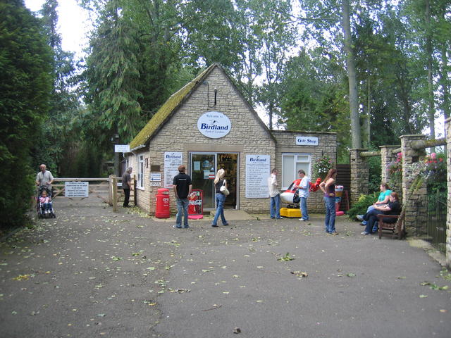
Birdland Park and Gardens
Birdland Park and Gardens, often called Birdland, is a wildlife park in Bourton-on-the-Water, Gloucestershire, England. First opened in 1957, the park...
Nearby Amenities
Located within 500m of 51.866547,-1.7204878Have you been to Burfordhill Copse?
Leave your review of Burfordhill Copse below (or comments, questions and feedback).