Coultermire Plantation
Wood, Forest in Yorkshire Harrogate
England
Coultermire Plantation

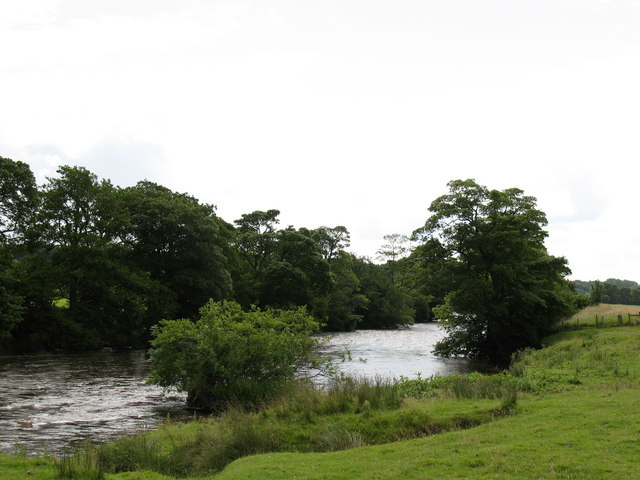
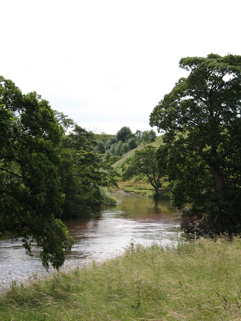
Coultermire Plantation is a sprawling woodland located in the picturesque county of Yorkshire, England. Stretching over an area of several hundred acres, this enchanting forest is renowned for its natural beauty and rich biodiversity. The plantation is situated near the town of Wood, nestled amidst the rolling hills and meandering streams that characterize the Yorkshire landscape.
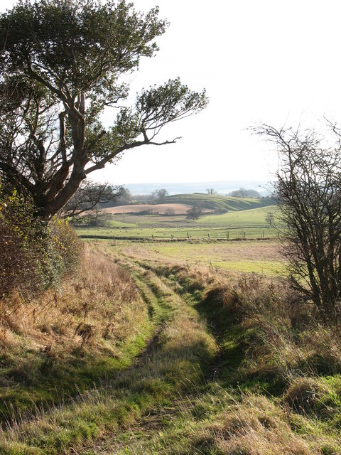
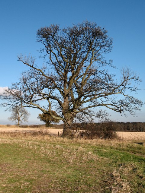
Coultermire Plantation boasts a diverse range of tree species, including oak, beech, birch, and pine, which form a dense canopy that provides a haven for countless wildlife species. The forest floor is adorned with a vibrant carpet of wildflowers, further enhancing its allure. Nature enthusiasts and hikers frequent the plantation, taking advantage of the many walking trails that wind their way through the woodland.
The plantation is not only a haven for wildlife but also a valuable ecological resource. It serves as a carbon sink, absorbing large amounts of carbon dioxide and helping to mitigate climate change. Additionally, the forest acts as a natural water filter, purifying rainwater as it percolates through the soil and replenishing underground aquifers.
Coultermire Plantation is also steeped in history. It is believed to have been in existence for several centuries, and remnants of ancient structures can still be found within its boundaries. The plantation has witnessed generations of landowners and workers, each leaving their mark on the landscape.
Overall, Coultermire Plantation is a treasured natural and historical gem in Yorkshire, attracting visitors from near and far who seek solace, adventure, and a deeper connection with the natural world.
If you have any feedback on the listing, please let us know in the comments section below.
Coultermire Plantation Images
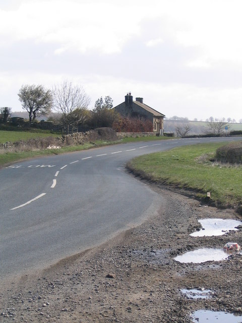
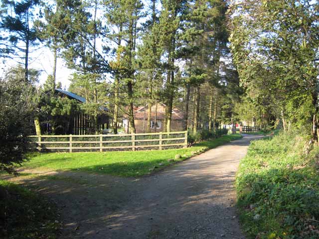
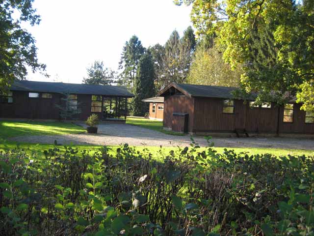
Images are sourced within 2km of 54.25931/-1.7048931 or Grid Reference SE1984. Thanks to Geograph Open Source API. All images are credited.


![Double limekiln [1] An unusual limekiln by the footpath between Kilgram Bridge and Low Ellington. This kiln is double sided, but has one central bowl.](https://s2.geograph.org.uk/geophotos/01/40/25/1402538_d74eccac.jpg)
![Double lime kiln [2] Another view of this unusual lime kiln. The kiln is also unusual as there is no outcrop of limestone in the vicinity, the nearest being the ridge of Magnesian limestone a mile or more to the east and on the other side of the river. The material for this kiln seems to have come entirely from the glacial debris on which the kiln stands. This low hill is full of carboniferous limestone erratics, some of which are still in a handy pile close to the kiln.](https://s0.geograph.org.uk/geophotos/01/40/25/1402548_fbab6a7b.jpg)


Coultermire Plantation is located at Grid Ref: SE1984 (Lat: 54.25931, Lng: -1.7048931)
Division: North Riding
Administrative County: North Yorkshire
District: Harrogate
Police Authority: North Yorkshire
What 3 Words
///diagram.frost.jubilant. Near Masham, North Yorkshire
Nearby Locations
Related Wikis
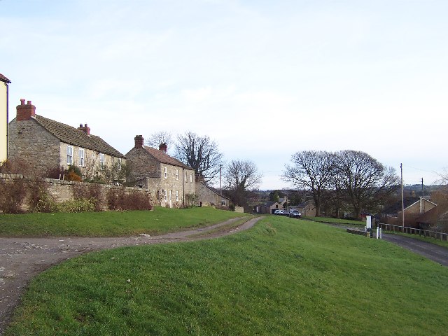
High Ellington
High Ellington is a village in lower Wensleydale in North Yorkshire, England, about 2.5 miles (4 km) north-west of Masham. The smaller village of Low...

Low Ellington
Low Ellington is a small village in lower Wensleydale in North Yorkshire, England about 2 miles (3.2 km) north-west of Masham. It is 0.5 miles (0.80 km...
Rookwith
Rookwith is a hamlet and civil parish in the Hambleton district of North Yorkshire, England, about 4 miles (6.4 km) west of Bedale and near the flow of...

Ellingstring
Ellingstring is a village and civil parish in Wensleydale in North Yorkshire, England, about 5 miles (8 km) south-east of Leyburn, and 3.5 miles (5.6 km...
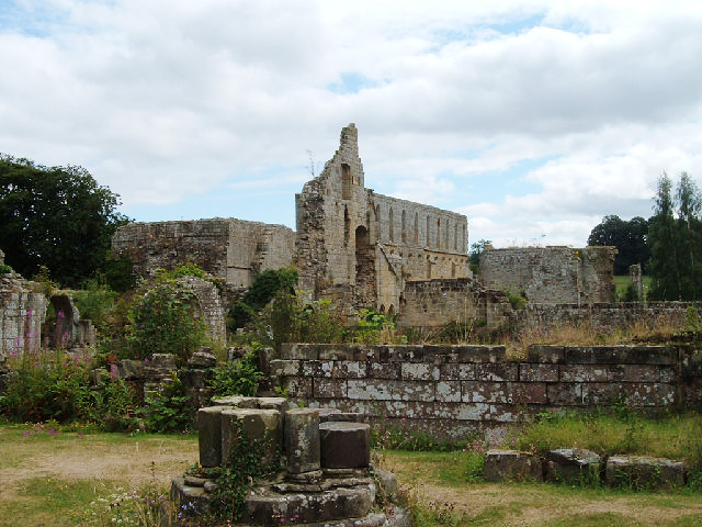
Jervaulx Abbey
Jervaulx Abbey in East Witton in North Yorkshire, 14 mi (23 km) north-west of the city of Ripon, was one of the great Cistercian abbeys of Yorkshire, England...

Clifton-on-Yore
Clifton-on-Yore is a civil parish in the Hambleton district of North Yorkshire, England. The population of the parish was estimated at 40 in 2010. The...

Thirn
Thirn is a village and civil parish in North Yorkshire, England. It is situated close to the River Ure, about 3 miles (5 km) south-west of Bedale.The hamlet...
Thornton Steward
Thornton Steward is a small village and civil parish in North Yorkshire, England, near Wensleydale, with a population of 100–200, measured at 199 in the...
Nearby Amenities
Located within 500m of 54.25931,-1.7048931Have you been to Coultermire Plantation?
Leave your review of Coultermire Plantation below (or comments, questions and feedback).