Boram Belt

Wood, Forest in Gloucestershire Cotswold

England

Boram Belt

Direction Sign – Signpost on the A429 Fosse Way in Batsford parish Located immediately northeast of the entrance to Dorn Heath Farm on the southeast side of the A429 Fosse Way in Batsford parish. No arms but pawn finial.

Milestone Society National ID: GL_SP2033
Direction Sign – Signpost on the A429 Fosse Way in Batsford parish Credit: Roadside Relics

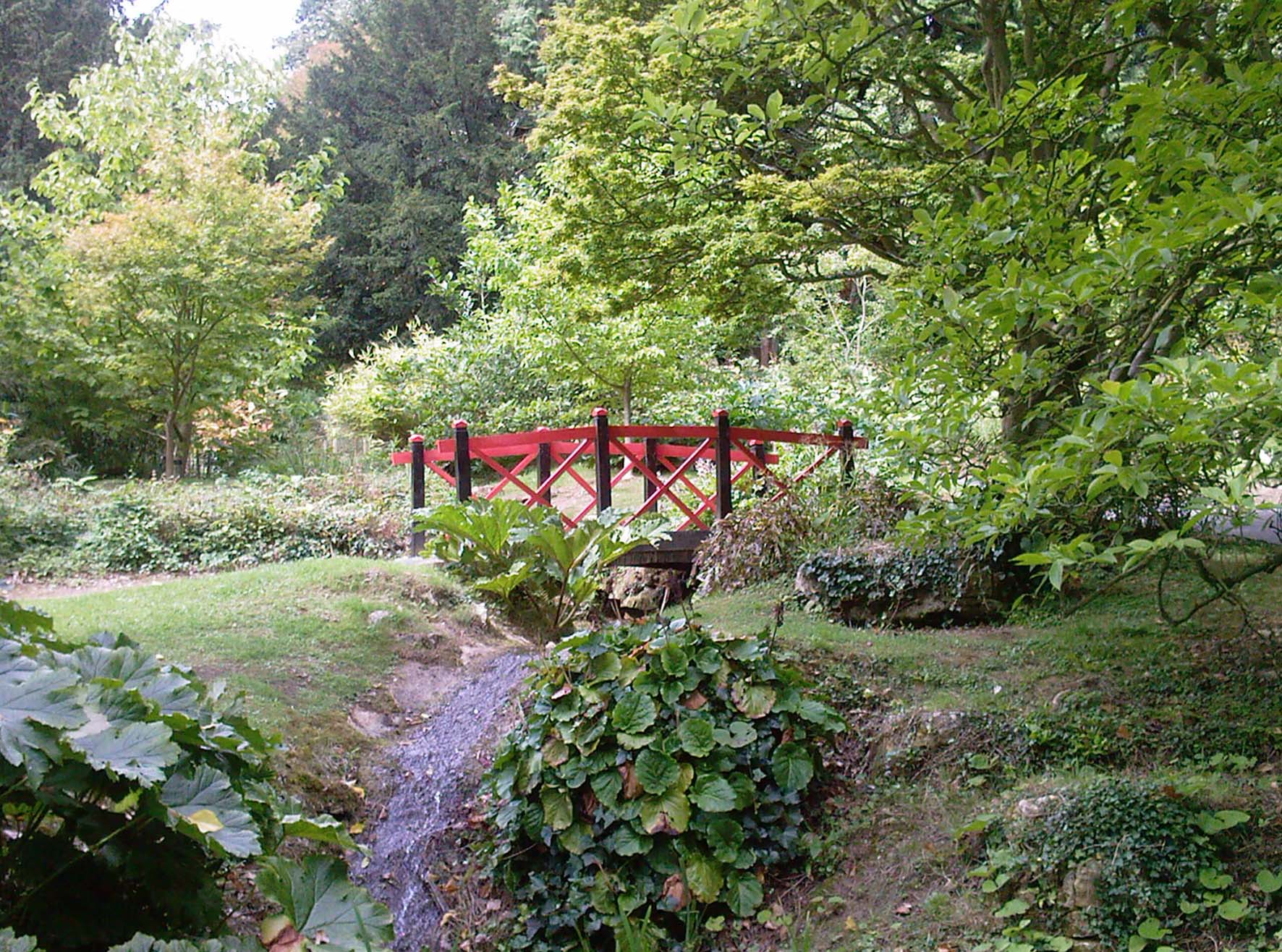
Boram Belt is a picturesque woodland area located in Gloucestershire, England. Situated within the larger Forest of Dean, it spans approximately 200 hectares and is known for its abundant natural beauty and diverse flora and fauna.

The woodland is characterized by its dense canopy of ancient trees, including oak, beech, and ash. These towering giants create a serene and peaceful atmosphere, providing a haven for a wide array of wildlife. Visitors to Boram Belt can expect to encounter various bird species, such as woodpeckers, owls, and songbirds, as well as small mammals like rabbits, badgers, and foxes.

Traversing through the woodland, visitors will find well-maintained trails and footpaths that wind their way through the picturesque scenery. These paths are ideal for leisurely walks, nature hikes, and even cycling, allowing visitors to immerse themselves in the natural wonders of Boram Belt.

The woodland also holds historical significance, with remnants of ancient settlements and iron mines scattered throughout the area. Local archaeological finds suggest that Boram Belt has been inhabited by humans since the Neolithic era, making it an intriguing destination for history enthusiasts.

Furthermore, Boram Belt is managed by the Forestry Commission, ensuring the preservation and conservation of its natural environment. The commission offers educational programs and guided tours, enabling visitors to learn about the woodland's ecology and its importance in maintaining a balanced ecosystem.

Overall, Boram Belt in Gloucestershire is a captivating woodland retreat that offers visitors a chance to escape the hustle and bustle of daily life and immerse themselves in the tranquility of nature.

If you have any feedback on the listing, please let us know in the comments section below.
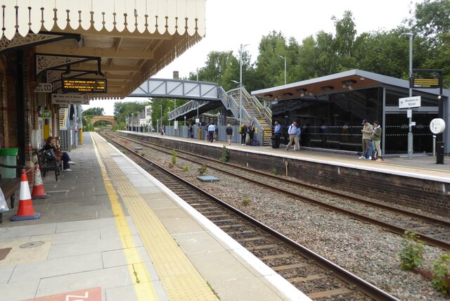
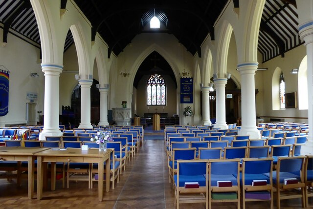
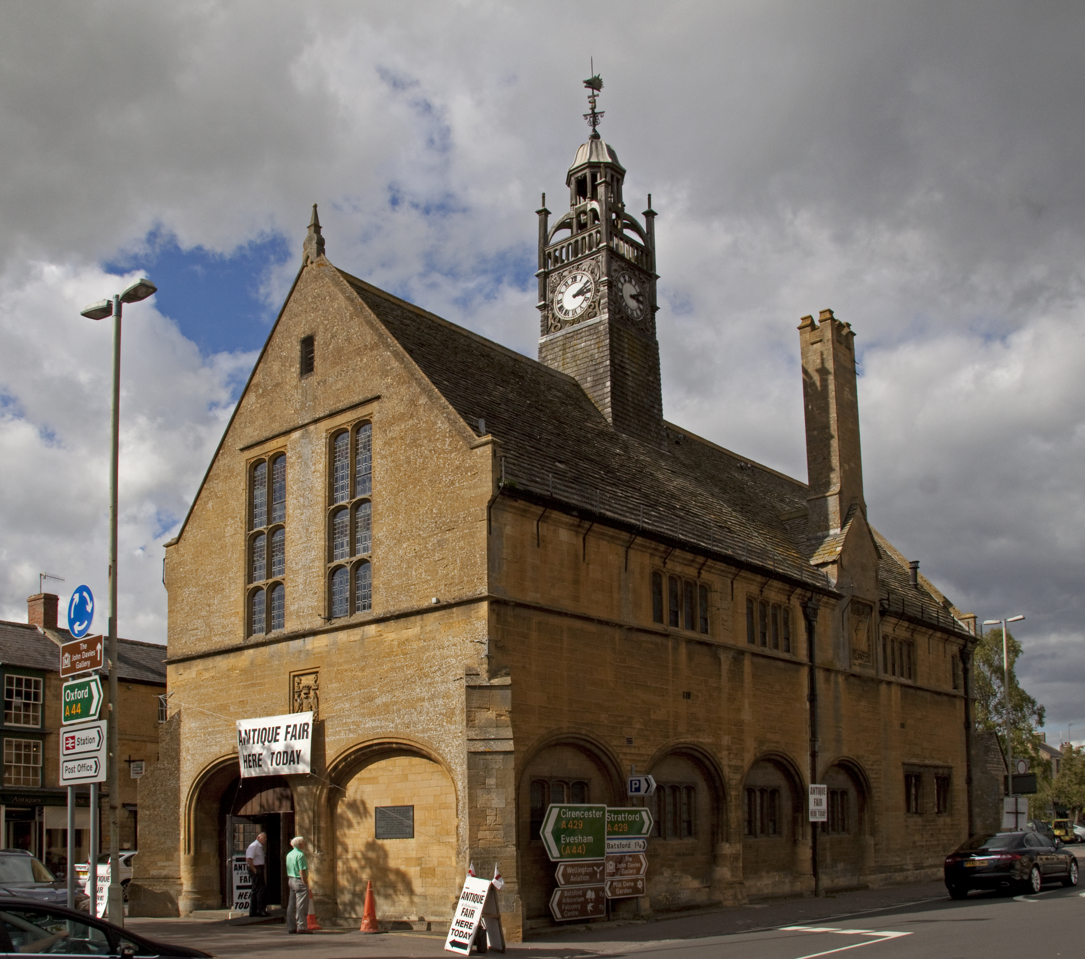
Boram Belt Images

Images are sourced within 2km of 51.997005/-1.7212207 or Grid Reference SP1933. Thanks to Geograph Open Source API. All images are credited.

Direction Sign – Signpost on the A429 Fosse Way in Batsford parish Located immediately northeast of the entrance to Dorn Heath Farm on the southeast side of the A429 Fosse Way in Batsford parish. No arms but pawn finial.

Milestone Society National ID: GL_SP2033
Direction Sign – Signpost on the A429 Fosse Way in Batsford parish
Located immediately northeast of the entrance to Dorn Heath Farm on the southeast side of the A429 Fosse Way in Batsford parish. No arms but pawn finial. Milestone Society National ID: GL_SP2033
Moreton in Marsh Station
A wet A429 heading north out of Moreton-in-Marsh
Dulverton Place, Moreton-in-Marsh
St David's church, Moreton-in-Marsh
The famous Tuesday Market, Moreton-in-Marsh
Moreton-in-Marsh station looking north
Moreton-in-Marsh station looking south
Moreton in Marsh war memorial on the High Street
The Swan Inn The Swan Inn stands at the junction of Bourton Road and High Street in Moreton-in-Marsh
The Swan Inn
The Swan Inn stands at the junction of Bourton Road and High Street in Moreton-in-Marsh
Old Milestone, A429, Stow Road, Moreton in Marsh The milestone is located outside No.19 University Farm, in the border by the wall, on the west side of the road. Parish of Moreton in Marsh (Cotswold District). Stone post (plate lost), Stow plate design, erected by the Foss and Cross (Stow on Wold) turnpike trust in the 19th century.

Milestone Society National ID: GL_SWMM04
Old Milestone, A429, Stow Road, Moreton in Marsh
The milestone is located outside No.19 University Farm, in the border by the wall, on the west side of the road. Parish of Moreton in Marsh (Cotswold District). Stone post (plate lost), Stow plate design, erected by the Foss and Cross (Stow on Wold) turnpike trust in the 19th century. Milestone Society National ID: GL_SWMM04
Moreton-in-Marsh Station
St David's church, Moreton-in-Marsh The church was almost completely rebuilt in the late 1850s.  The church is Grade II listed, see: <span class="nowrap"><a title="https://historicengland.org.uk/listing/the-list/list-entry/1088677?section=official-list-entry" rel="nofollow ugc noopener" href="https://historicengland.org.uk/listing/the-list/list-entry/1088677?section=official-list-entry">Link</a><img style="margin-left:2px;" alt="External link" title="External link - shift click to open in new window" src="https://s1.geograph.org.uk/img/external.png" width="10" height="10"/></span>
St David's church, Moreton-in-Marsh
The church was almost completely rebuilt in the late 1850s. The church is Grade II listed, see: LinkExternal link
Interior of Moreton-in-Marsh church view along the nave toward the altar of Moreton-in-Marsh church.
Interior of Moreton-in-Marsh church
view along the nave toward the altar of Moreton-in-Marsh church.
Cottages on Church Street One of the cottages pictured here on Church Street in Moreton-in-Marsh has a fire insurance plaque <a href="https://www.geograph.org.uk/photo/7346579">SP2032 : Fire insurance plaque</a>.
Cottages on Church Street
One of the cottages pictured here on Church Street in Moreton-in-Marsh has a fire insurance plaque SP2032 : Fire insurance plaque.
Fire insurance plaque Fire insurance plaque on a cottage <a href="https://www.geograph.org.uk/photo/7629502">SP2032 : Cottages on Church Street</a> in Church Street.
Fire insurance plaque
Fire insurance plaque on a cottage SP2032 : Cottages on Church Street in Church Street.
Blue plaque to J.R.R. Tolkien  Blue plaque to J.R.R. Tolkien on the Bell Inn in Moreton-in-Marsh.
Blue plaque to J.R.R. Tolkien
Blue plaque to J.R.R. Tolkien on the Bell Inn in Moreton-in-Marsh.
The Bell Inn The Bell Inn in Moreton-in-Marsh.  There is a blue plaque to JRR Tolkien on the front of the building,
The Bell Inn
The Bell Inn in Moreton-in-Marsh. There is a blue plaque to JRR Tolkien on the front of the building,
Show me another place!

Boram Belt is located at Grid Ref: SP1933 (Lat: 51.997005, Lng: -1.7212207)

Administrative County: Gloucestershire

District: Cotswold

Police Authority: Gloucestershire

What 3 Words

///spearing.colleague.risky. Near Moreton in Marsh, Gloucestershire

Nearby Locations

Boram Belt

Related Wikis

Batsford

Batsford is a village and civil parish in the Cotswold district of Gloucestershire, England. The village is about 1½ miles north-west of Moreton-in...

Batsford Arboretum

Batsford Arboretum is a 55-acre (220,000 m2) arboretum and botanical garden near Batsford in Gloucestershire, England, about 1½ miles north-west of Moreton...

Batsford Road

Batsford Road, sometimes known as Moreton-in-Marsh Cricket Club Ground, is a cricket ground in Moreton-in-Marsh, Gloucestershire. The ground is located...

Moreton-in-Marsh and Batsford War Memorial

Moreton-in-Marsh and Batsford War Memorial stands in Moreton-in-Marsh, Gloucestershire, England, and is a memorial to those of Moreton and Batsford killed...

Redesdale Hall

Redesdale Hall, also referred to as Moreton-in-Marsh Town Hall, is a municipal building in the High Street, Moreton-in-Marsh, Gloucestershire, England...

Lower Lemington

Lower Lemington is a small village and former civil parish, now in the parish of Batsford, in the Cotswold district of Gloucestershire, England. The village...

Dorn, Gloucestershire

Dorn is a hamlet in the Cotswold district of Gloucestershire, England. The hamlet is about 1 mile north of Moreton-in-Marsh. Dorn lies on the west side...

North Cotswold Rural District

North Cotswold was, from 1935 to 1974, a rural district in the administrative county of Gloucestershire, England. == Formation == Under the Local Government...

Nearby Amenities

Located within 500m of 51.997005,-1.7212207
The data included in this document is from www.openstreetmap.org. The data is made available under ODbL.

Have you been to Boram Belt?

Leave your review of Boram Belt below (or comments, questions and feedback).