Calf Fields Plantation

Wood, Forest in Yorkshire Richmondshire

England

Calf Fields Plantation

Dot's Spot, James Lane Presumably Dot has an interest in horses; riding is obviously a very popular pursuit amongst the inhabitants of Catterick Garrison. On the road from Catterick Garrison to Tunstall.
Dot's Spot, James Lane Credit: Oliver Dixon

Calf Fields Plantation is a picturesque woodland located in the county of Yorkshire, England. Situated in the heart of the region, the plantation encompasses a sprawling area of lush greenery and dense forests, making it a haven for nature enthusiasts and outdoor adventurers.

Covering approximately 500 acres, Calf Fields Plantation is known for its diverse flora and fauna. The woodland is predominantly populated by deciduous trees such as oak, beech, and birch, creating a vibrant tapestry of colors during the autumn months. The plantation is also home to a variety of wildlife, including deer, foxes, and a wide array of bird species, making it a popular spot for birdwatching enthusiasts.

The plantation offers a range of recreational activities for visitors to enjoy. There are numerous well-maintained walking trails that wind through the woodland, providing opportunities for leisurely strolls or more challenging hikes. Additionally, the plantation features designated picnic areas, allowing visitors to relax and enjoy the serene surroundings while indulging in a packed lunch.

Calf Fields Plantation is also renowned for its historical significance. The woodland has been managed for centuries and has played a crucial role in the local timber industry. Today, it continues to be managed sustainably, with periodic tree felling and replanting to maintain the health and diversity of the woodland.

Overall, Calf Fields Plantation offers a tranquil escape from the hustle and bustle of everyday life. With its stunning natural beauty, abundant wildlife, and recreational opportunities, it is a cherished destination for both locals and tourists seeking to immerse themselves in the wonders of Yorkshire's woodlands.

If you have any feedback on the listing, please let us know in the comments section below.

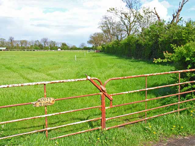
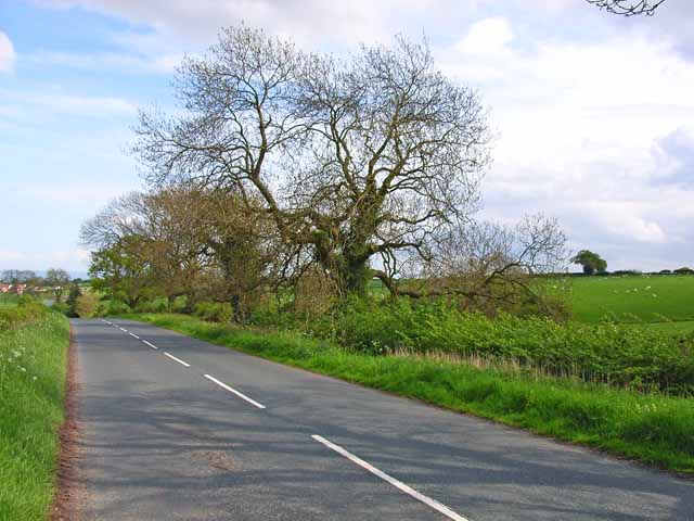
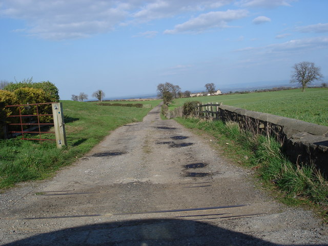
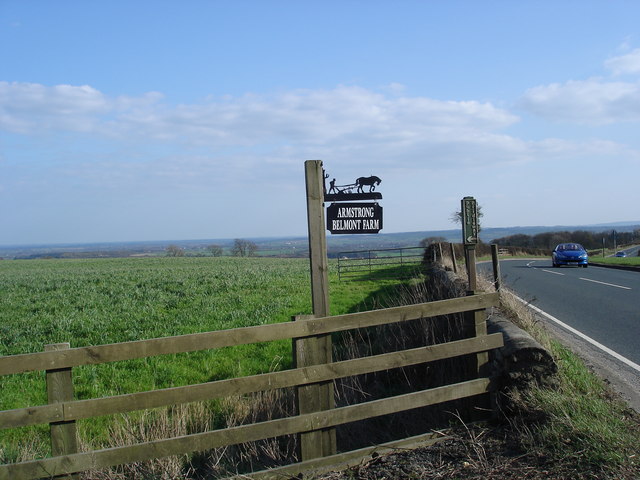
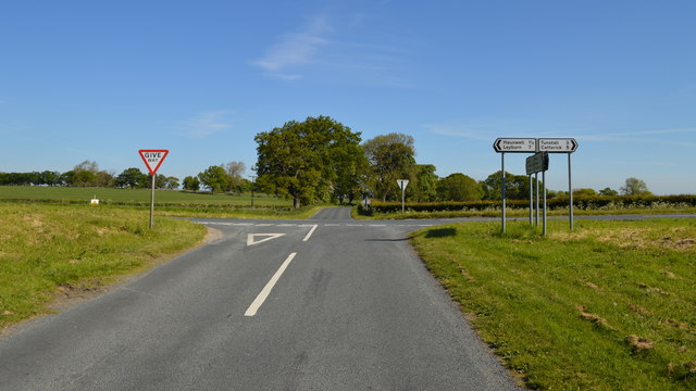
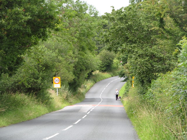
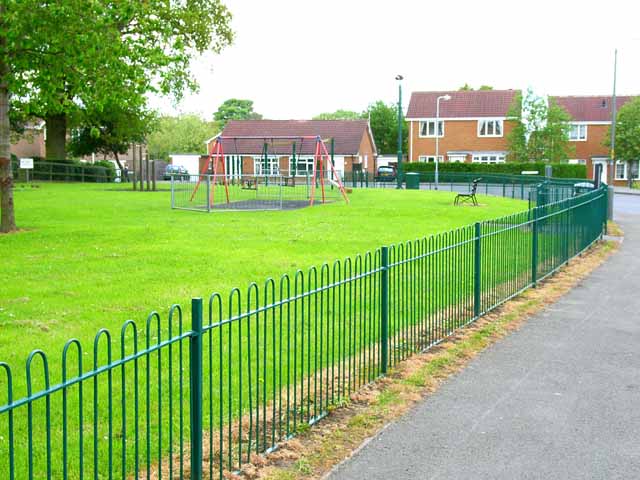
Calf Fields Plantation Images

Images are sourced within 2km of 54.358899/-1.7057654 or Grid Reference SE1995. Thanks to Geograph Open Source API. All images are credited.

Dot's Spot, James Lane Presumably Dot has an interest in horses; riding is obviously a very popular pursuit amongst the inhabitants of Catterick Garrison. On the road from Catterick Garrison to Tunstall.
Dot's Spot, James Lane
Presumably Dot has an interest in horses; riding is obviously a very popular pursuit amongst the inhabitants of Catterick Garrison. On the road from Catterick Garrison to Tunstall.
James Lane On the road from Catterick Garrison to Tunstall
James Lane
On the road from Catterick Garrison to Tunstall
Entrance track to Belmont Lane Farm Belmont Lane Farm at the end of what must, I suppose, be Belmont Lane.
Entrance track to Belmont Lane Farm
Belmont Lane Farm at the end of what must, I suppose, be Belmont Lane.
Bridleway and farm sign Bridleway and farm sign, on entrance to Belmont Lane Farm
Bridleway and farm sign
Bridleway and farm sign, on entrance to Belmont Lane Farm
Catterick Garrison, Vimy Barracks Un-named street [as far as I could see] leading to Queens Avenue.
Catterick Garrison, Vimy Barracks
Un-named street [as far as I could see] leading to Queens Avenue.
Catterick Garrison, Vimy Barracks [2] One of the barracks on this very large camp which is part of the Infantry Training  Centre. See <span class="nowrap"><a title="http://www.army.mod.uk/training_education/training/18145.aspx" rel="nofollow ugc noopener" href="http://www.army.mod.uk/training_education/training/18145.aspx">Link</a><img style="margin-left:2px;" alt="External link" title="External link - shift click to open in new window" src="https://s1.geograph.org.uk/img/external.png" width="10" height="10"/></span>
Catterick Garrison, Vimy Barracks [2]
One of the barracks on this very large camp which is part of the Infantry Training Centre. See LinkExternal link
Catterick Garrison, Vimy Barracks [3] View along Queens Avenue.
Catterick Garrison, Vimy Barracks [3]
View along Queens Avenue.
Catterick Garrison, Helles Barracks, parade ground The pass off parade of 17, 19 and 26 platoons of the Guards Training Company after completing their Phase Two training. Ninety eight new footguards (and one Gurkha) for the army.
Catterick Garrison, Helles Barracks, parade ground
The pass off parade of 17, 19 and 26 platoons of the Guards Training Company after completing their Phase Two training. Ninety eight new footguards (and one Gurkha) for the army.
Catterick Garrison, Helles Barracks The famous 'P' Company which every aspiring paratrooper has to get through before even starting training.
Catterick Garrison, Helles Barracks
The famous 'P' Company which every aspiring paratrooper has to get through before even starting training.
Caution tanks turning On Craggs Lane near Catterick
Caution tanks turning
On Craggs Lane near Catterick
Hawkswell Lane at Moor Lane
House on Hawkswell Lane
Heather Dene
Heather Dene
Crossroads - Hawkswell Lane and Moor Lane
Road into Scotton The Hunton to Catterick Garrison road on the approach to Scotton village.
Road into Scotton
The Hunton to Catterick Garrison road on the approach to Scotton village.
The entrance to Highfield Farm Caravan Park
Craggs Lane at Craggs Lane Farm
Breckenbrough near Tunstall Appears to be the home associated with a very big riding school surrounding the property.
Breckenbrough near Tunstall
Appears to be the home associated with a very big riding school surrounding the property.
Show me another place!

Calf Fields Plantation is located at Grid Ref: SE1995 (Lat: 54.358899, Lng: -1.7057654)

Division: North Riding

Administrative County: North Yorkshire

District: Richmondshire

Police Authority: North Yorkshire

What 3 Words

///episodes.firebird.trek. Near Catterick Garrison, North Yorkshire

Nearby Locations

Calf Fields Plantation

Related Wikis

Scotton, Richmondshire

Scotton is a village, civil parish and electoral ward in the Richmondshire district of North Yorkshire, England. The civil parish includes the centre and...

Duchess of Kent Military Hospital

The Duchess of Kent Military Hospital was an army hospital and nurse training facility in Catterick Garrison, North Yorkshire, England. == History... ==

A6136 road

The A6136 is a 4 digit A road in North Yorkshire, England. It runs between the A6108 Queen's Road, in the market town of Richmond, before terminating on...

Catterick Camp railway station

Catterick Camp railway station was a railway station in what is now the Richmondshire district of North Yorkshire, England. It was built as the terminus...

Nearby Amenities

Located within 500m of 54.358899,-1.7057654
Turning Circle
Noexit: yes
Lat/Long: 54.3557794/-1.7051761
Scotton
Place: hamlet
Source: NLS-OS-1st_Series
Lat/Long: 54.3580921/-1.7102558
Noexit: yes
Lat/Long: 54.355793/-1.7028892
Generator Method: photovoltaic
Generator Output Electricity: yes
Generator Source: solar
Generator Type: solar_photovoltaic_panel
Location: roof
Power: generator
Lat/Long: 54.3560139/-1.7090607
Generator Method: photovoltaic
Generator Output Electricity: yes
Generator Source: solar
Generator Type: solar_photovoltaic_panel
Location: roof
Power: generator
Lat/Long: 54.3557919/-1.7090043
Generator Method: photovoltaic
Generator Output Electricity: yes
Generator Source: solar
Generator Type: solar_photovoltaic_panel
Location: roof
Power: generator
Lat/Long: 54.3556356/-1.7091841
Generator Method: photovoltaic
Generator Output Electricity: yes
Generator Source: solar
Generator Type: solar_photovoltaic_panel
Location: roof
Power: generator
Lat/Long: 54.3548635/-1.7032805
Generator Method: photovoltaic
Generator Output Electricity: yes
Generator Source: solar
Generator Type: solar_photovoltaic_panel
Location: roof
Power: generator
Lat/Long: 54.3550323/-1.703876
Generator Method: photovoltaic
Generator Output Electricity: yes
Generator Source: solar
Generator Type: solar_photovoltaic_panel
Location: roof
Power: generator
Lat/Long: 54.3550979/-1.7044687
Generator Method: photovoltaic
Generator Output Electricity: yes
Generator Source: solar
Generator Type: solar_photovoltaic_panel
Location: roof
Power: generator
Lat/Long: 54.3550604/-1.7044231
Generator Method: photovoltaic
Generator Output Electricity: yes
Generator Source: solar
Generator Type: solar_photovoltaic_panel
Location: roof
Power: generator
Lat/Long: 54.354722/-1.7057817
Generator Method: photovoltaic
Generator Output Electricity: yes
Generator Source: solar
Generator Type: solar_photovoltaic_panel
Location: roof
Power: generator
Lat/Long: 54.355509/-1.707285
Generator Method: photovoltaic
Generator Output Electricity: yes
Generator Source: solar
Generator Type: solar_photovoltaic_panel
Location: roof
Power: generator
Lat/Long: 54.3555247/-1.7072931
Generator Method: photovoltaic
Generator Output Electricity: yes
Generator Source: solar
Generator Type: solar_photovoltaic_panel
Location: roof
Power: generator
Lat/Long: 54.3559139/-1.7064804
Generator Method: photovoltaic
Generator Output Electricity: yes
Generator Source: solar
Generator Type: solar_photovoltaic_panel
Location: roof
Power: generator
Lat/Long: 54.3560295/-1.7041898
Generator Method: photovoltaic
Generator Output Electricity: yes
Generator Source: solar
Generator Type: solar_photovoltaic_panel
Location: roof
Power: generator
Lat/Long: 54.3559732/-1.7051339
Generator Method: photovoltaic
Generator Output Electricity: yes
Generator Source: solar
Generator Type: solar_photovoltaic_panel
Location: roof
Power: generator
Lat/Long: 54.3562124/-1.7085752
Generator Method: photovoltaic
Generator Output Electricity: yes
Generator Source: solar
Generator Type: solar_photovoltaic_panel
Location: roof
Power: generator
Lat/Long: 54.3564828/-1.7050776
Generator Method: photovoltaic
Generator Output Electricity: yes
Generator Source: solar
Generator Type: solar_photovoltaic_panel
Location: roof
Power: generator
Lat/Long: 54.3567438/-1.7054611
Generator Method: photovoltaic
Generator Output Electricity: yes
Generator Source: solar
Generator Type: solar_photovoltaic_panel
Location: roof
Power: generator
Lat/Long: 54.3567391/-1.7055041
Generator Method: photovoltaic
Generator Output Electricity: yes
Generator Source: solar
Generator Type: solar_photovoltaic_panel
Location: roof
Power: generator
Lat/Long: 54.3569533/-1.7056677
Generator Method: photovoltaic
Generator Output Electricity: yes
Generator Source: solar
Generator Type: solar_photovoltaic_panel
Location: roof
Power: generator
Lat/Long: 54.3568861/-1.7056248
Generator Method: photovoltaic
Generator Output Electricity: yes
Generator Source: solar
Generator Type: solar_photovoltaic_panel
Location: roof
Power: generator
Lat/Long: 54.3571166/-1.7061491
Generator Method: photovoltaic
Generator Output Electricity: yes
Generator Source: solar
Generator Type: solar_photovoltaic_panel
Location: roof
Power: generator
Lat/Long: 54.3571252/-1.7061035
Generator Method: photovoltaic
Generator Output Electricity: yes
Generator Source: solar
Generator Type: solar_photovoltaic_panel
Location: roof
Power: generator
Lat/Long: 54.3584381/-1.709235
Generator Method: photovoltaic
Generator Output Electricity: yes
Generator Source: solar
Generator Type: solar_photovoltaic_panel
Location: roof
Power: generator
Lat/Long: 54.3584616/-1.7093021
Generator Method: photovoltaic
Generator Output Electricity: yes
Generator Source: solar
Generator Type: solar_photovoltaic_panel
Location: roof
Power: generator
Lat/Long: 54.3587523/-1.7085698
Generator Method: photovoltaic
Generator Output Electricity: yes
Generator Source: solar
Generator Type: solar_photovoltaic_panel
Location: roof
Power: generator
Lat/Long: 54.3590617/-1.7096213
Generator Method: photovoltaic
Generator Output Electricity: yes
Generator Source: solar
Generator Type: solar_photovoltaic_panel
Location: roof
Power: generator
Lat/Long: 54.3594759/-1.7102999
Generator Method: photovoltaic
Generator Output Electricity: yes
Generator Source: solar
Generator Type: solar_photovoltaic_panel
Location: roof
Power: generator
Lat/Long: 54.3601464/-1.7088971
Generator Method: photovoltaic
Generator Output Electricity: yes
Generator Source: solar
Generator Type: solar_photovoltaic_panel
Location: roof
Power: generator
Lat/Long: 54.3601183/-1.7088407
Generator Method: photovoltaic
Generator Output Electricity: yes
Generator Source: solar
Generator Type: solar_photovoltaic_panel
Location: roof
Power: generator
Lat/Long: 54.3603433/-1.709691
Generator Method: photovoltaic
Generator Output Electricity: yes
Generator Source: solar
Generator Type: solar_photovoltaic_panel
Location: roof
Power: generator
Lat/Long: 54.3603339/-1.7095944
Noexit: yes
Lat/Long: 54.3588413/-1.71262
Power: pole
Lat/Long: 54.3572644/-1.7122878
Power: pole
Lat/Long: 54.3574877/-1.7109305
Power: pole
Lat/Long: 54.357699/-1.7095139
The data included in this document is from www.openstreetmap.org. The data is made available under ODbL.

Have you been to Calf Fields Plantation?

Leave your review of Calf Fields Plantation below (or comments, questions and feedback).