Dam Mill

Settlement in Staffordshire South Staffordshire

England

Dam Mill

Wergs Junction Yew Tree Lane joins the A41 Holyhead road at the Wergs, Wolverhampton.
Wergs Junction Credit: Gordon Griffiths

Dam Mill is a small village located in the county of Staffordshire, England. Situated in the West Midlands region, it lies approximately 5 miles west of the town of Stafford. The village is nestled in a picturesque rural setting, surrounded by rolling countryside and farmland.

One of the notable features of Dam Mill is its historic watermill, which dates back to the 19th century. The mill, situated on the banks of a small stream, was formerly used for grinding corn and other agricultural products. Although no longer in operation, the mill provides an interesting glimpse into the area's industrial past.

The village itself consists of a small cluster of houses, many of which are traditional stone cottages with charming thatched roofs. The local community is tight-knit and friendly, with residents often participating in various village events and initiatives.

Despite its small size, Dam Mill offers a range of amenities to its residents. These include a village hall, which serves as a hub for community activities, and a local pub that is popular among locals and visitors alike. The surrounding countryside also provides ample opportunities for outdoor pursuits such as walking, cycling, and fishing.

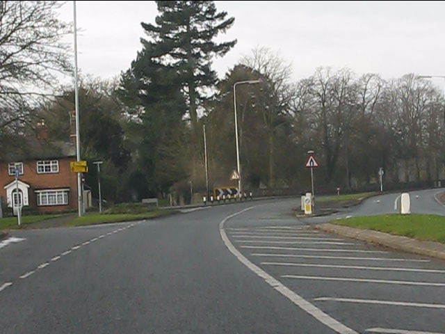
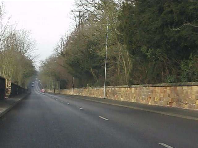
In terms of transportation, Dam Mill is well-connected to nearby towns and cities. The A518 road runs through the village, providing easy access to Stafford and other surrounding areas. Additionally, the nearest railway station is located in Stafford, offering regular train services to major cities such as Birmingham and London.

Overall, Dam Mill offers a tranquil and idyllic setting for those seeking a peaceful countryside retreat. Its rich history, natural beauty, and sense of community make it a charming place to live or visit.

If you have any feedback on the listing, please let us know in the comments section below.
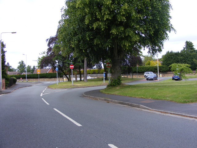
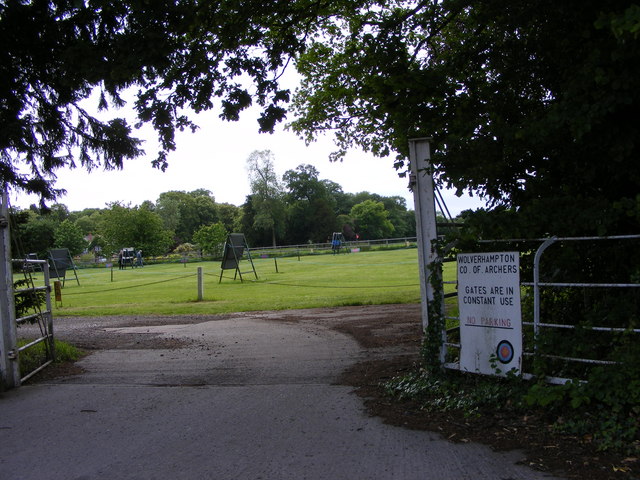
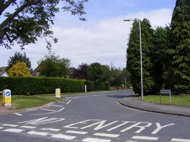
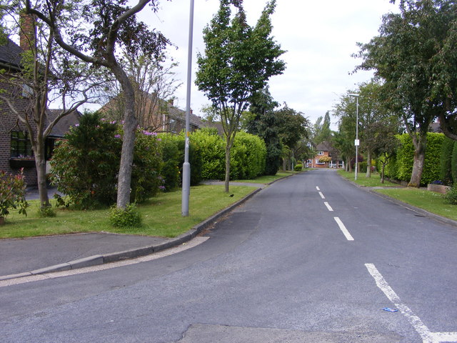
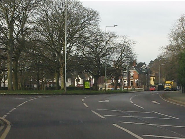
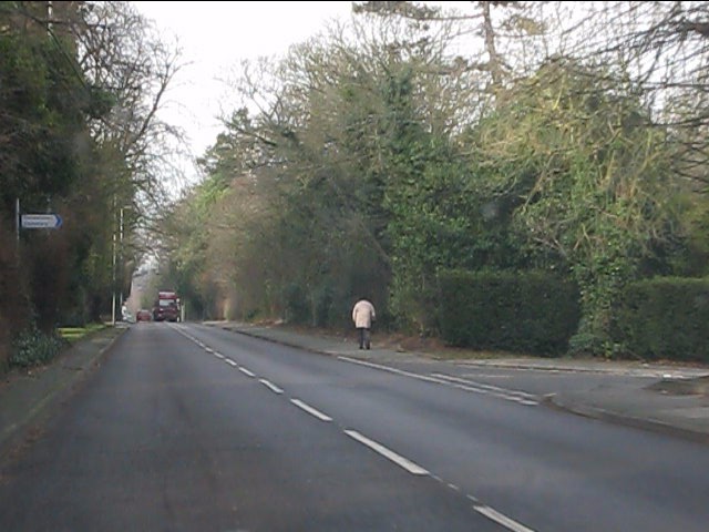
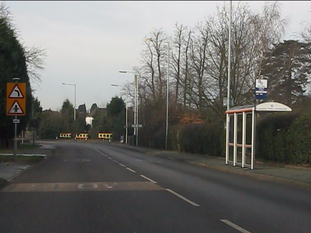
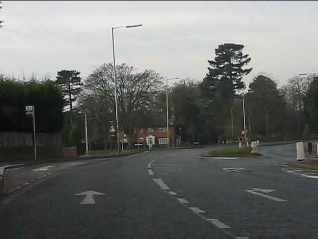
Dam Mill Images

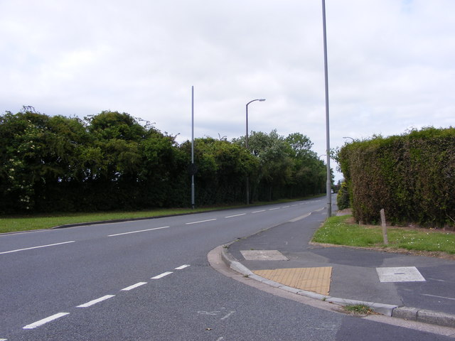
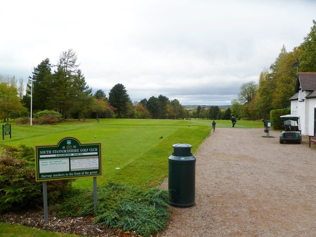
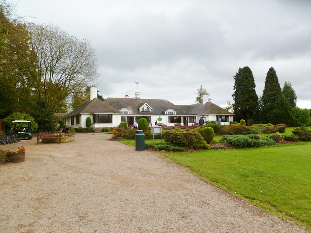
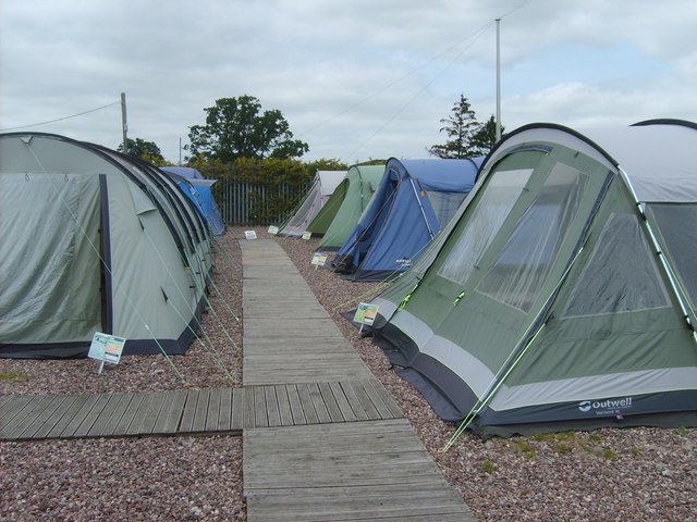
Images are sourced within 2km of 52.615637/-2.1786686 or Grid Reference SJ8802. Thanks to Geograph Open Source API. All images are credited.

Wergs Junction Yew Tree Lane joins the A41 Holyhead road at the Wergs, Wolverhampton.
Wergs Junction
Yew Tree Lane joins the A41 Holyhead road at the Wergs, Wolverhampton.
Company of Archers The view of the Wolverhampton Company ground off the Wergs Hall Road, Tettenhall.
Company of Archers
The view of the Wolverhampton Company ground off the Wergs Hall Road, Tettenhall.
Redhouse Road The view from Woodthorne Road South, Wolverhampton.
Redhouse Road
The view from Woodthorne Road South, Wolverhampton.
Wrekin Drive The view from Wrekin Lane, Wolverhampton.
Wrekin Drive
The view from Wrekin Lane, Wolverhampton.
Yew Tree Lane View The view from Wrekin Lane, Wolverhampton.
Yew Tree Lane View
The view from Wrekin Lane, Wolverhampton.
Tettenhall, golf club South Staffs Golf Club, looking from tee no.1, with the shop to right. <span class="nowrap"><a title="http://www.southstaffordshiregolfclub.co.uk/" rel="nofollow ugc noopener" href="http://www.southstaffordshiregolfclub.co.uk/">Link</a><img style="margin-left:2px;" alt="External link" title="External link - shift click to open in new window" src="https://s1.geograph.org.uk/img/external.png" width="10" height="10"/></span>
Tettenhall, golf club
South Staffs Golf Club, looking from tee no.1, with the shop to right. LinkExternal link
Tettenhall, golf clubhouse At South Staffs Golf Club: <span class="nowrap"><a title="http://www.southstaffordshiregolfclub.co.uk/The_Clubhouse" rel="nofollow ugc noopener" href="http://www.southstaffordshiregolfclub.co.uk/The_Clubhouse">Link</a><img style="margin-left:2px;" alt="External link" title="External link - shift click to open in new window" src="https://s1.geograph.org.uk/img/external.png" width="10" height="10"/></span>
Tettenhall, golf clubhouse
At South Staffs Golf Club: LinkExternal link
Tents for Sale The view in Codsall and Wergs Garden Centre.
Tents for Sale
The view in Codsall and Wergs Garden Centre.
Codsall and Wergs Garden Centre.
Garden Figures The view in Codsall and Wergs Garden Centre.
Garden Figures
The view in Codsall and Wergs Garden Centre.
Rainy Wergs Hall Lane The view down the Codsall to Wergs Lane.
Rainy Wergs Hall Lane
The view down the Codsall to Wergs Lane.
The Rock (A41) at Stockwell Road crossroads
A41 at Woods Road
A41 at Woods Road
Wergs Road (A41) at Danescourt Road
Wergs Road (A41) nearing Popes Lane
Dual carriageway on Wergs Road
Wergs Road (A41) at Yew Tree Lane
A41 running straight in Staffordshire The old London-Birkenhead road has just passed from West Midlands county into Staffordshire.
A41 running straight in Staffordshire
The old London-Birkenhead road has just passed from West Midlands county into Staffordshire.
Show me another place!

Dam Mill is located at Grid Ref: SJ8802 (Lat: 52.615637, Lng: -2.1786686)

Administrative County: Staffordshire

District: South Staffordshire

Police Authority: Staffordshire

What 3 Words

///chimp.thinks.drove. Near Codsall, Staffordshire

Nearby Locations

Dam Mill

Related Wikis

Bilbrook, Staffordshire

Bilbrook is a village and civil parish in the South Staffordshire district of Staffordshire, England. It is situated close to the border of the West Midlands...

Bilbrook railway station

Bilbrook railway station is a railway station which serves the village of Bilbrook in Staffordshire, England. It was known as Birches and Bilbrook Halt...

Birches Bridge

Birches Bridge is an area of Codsall, Staffordshire. It is situated to the northwest of Wolverhampton between Bilbrook and Codsall. == Name and origins... ==

Aldersley High School

Aldersley High School is a mixed secondary school and sixth form located in the Pendeford area of Wolverhampton in the West Midlands of England.Despite...

Nearby Amenities

Located within 500m of 52.615637,-2.1786686
Bus Stop
Birches Avenue
Bus: yes
Naptan AtcoCode: 3800C648801
Naptan Bearing: SE
Naptan CommonName: Eastward Glen
Naptan Indicator: Opp
Naptan Landmark: Eastward Glen
Naptan Street: Birches Rd
Naptan Verified: no
Public Transport: platform
Source: naptan_import
Lat/Long: 52.6183887/-2.1760249
Bus Stop
Birches Avenue
Bus: yes
Naptan AtcoCode: 3800C648802
Naptan Bearing: NW
Naptan CommonName: Birches Avenue
Naptan Indicator: Adj
Naptan Landmark: Birches Avenue
Naptan Street: Birches Road
Naptan Verified: no
Public Transport: platform
Source: naptan_import
Lat/Long: 52.619456/-2.1777131
Bus Stop
Birches Road
Bus: yes
Naptan AtcoCode: 3800C691701
Naptan Bearing: N
Naptan CommonName: Birches Road
Naptan Indicator: Adj
Naptan Landmark: Birches Road
Naptan Street: Codsall Road
Naptan Verified: no
Public Transport: platform
Source: naptan_import
Lat/Long: 52.6169078/-2.1743942
Bus Stop
Birches Road
Bus: yes
Naptan AtcoCode: 3800C691702
Naptan Bearing: S
Naptan BusStopType: CUS
Naptan CommonName: Birches Road
Naptan Indicator: Opp
Naptan Landmark: Birches Road
Naptan Street: Codsall Road
Naptan Verified: no
Public Transport: platform
Source: naptan_import
Lat/Long: 52.6169261/-2.1741728
Turning Circle
Lat/Long: 52.6200014/-2.1771553
Turning Circle
Source: bing
Lat/Long: 52.6177807/-2.1777709
Bubbleid: 1252562481
Man Made: sewer_vent
Manufacturer: Ham Baker & Co Limited Engineers
Manufacturer Wikidata: Q120925758
Wikimedia Commons: File:Bilbrook, stenchpipe - geograph.org.uk - 1347250.jpg
Lat/Long: 52.6180709/-2.1753639
The data included in this document is from www.openstreetmap.org. The data is made available under ODbL.

Have you been to Dam Mill?

Leave your review of Dam Mill below (or comments, questions and feedback).