Cowards Moor Copse
Wood, Forest in Hampshire New Forest
England
Cowards Moor Copse

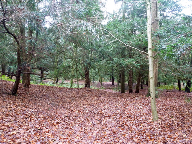
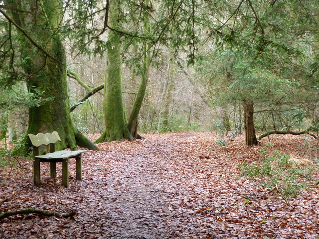
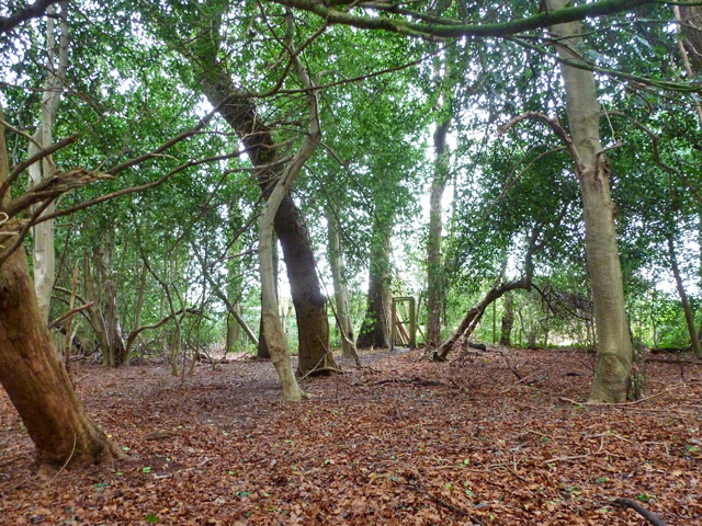
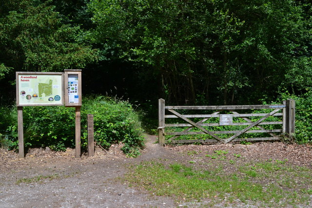
Cowards Moor Copse is a picturesque woodland located in Hampshire, England. Covering an area of approximately 50 acres, this enchanting forest is a haven for nature lovers and outdoor enthusiasts alike. The copse is situated near the village of Cowards Moor, which adds to its charm and accessibility.
The woodland is predominantly composed of native deciduous trees, including oak, beech, and birch, which provide a vibrant canopy during the summer months. Cowards Moor Copse is also home to a diverse range of flora and fauna, with bluebells carpeting the forest floor in spring and various species of birds, such as woodpeckers and owls, making their homes in the treetops.
Walking trails meander through the copse, allowing visitors to explore its beauty at their own pace. These trails offer opportunities for leisurely strolls, wildlife spotting, and even picnics in designated areas. The peaceful ambiance of the woodland makes it an ideal destination for those seeking tranquility and a connection with nature.
In addition to its natural splendor, Cowards Moor Copse also holds historical significance. The woodland has witnessed human activity dating back centuries, with evidence of ancient settlements and archaeological finds discovered in the area. This rich history adds another layer of fascination to the copse, enticing history enthusiasts and researchers to delve into its past.
Overall, Cowards Moor Copse in Hampshire is a captivating woodland that combines natural beauty with historical intrigue. It provides a serene escape from the hustle and bustle of everyday life, offering a chance to immerse oneself in the wonders of the natural world.
If you have any feedback on the listing, please let us know in the comments section below.
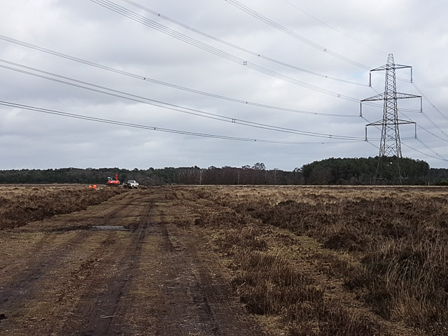
Cowards Moor Copse Images
Images are sourced within 2km of 50.973653/-1.7282122 or Grid Reference SU1919. Thanks to Geograph Open Source API. All images are credited.


Cowards Moor Copse is located at Grid Ref: SU1919 (Lat: 50.973653, Lng: -1.7282122)
Administrative County: Hampshire
District: New Forest
Police Authority: Hampshire
What 3 Words
///overcomes.cheat.firm. Near Downton, Wiltshire
Related Wikis

Hale, Hampshire
Hale is a small village and civil parish in Hampshire, England. It lies on the border of the New Forest, overlooking the valley of the River Avon. The...

Bohemia, Wiltshire
Bohemia is a hamlet in Wiltshire, England, in the parish of Redlynch. It lies about 1 mile (1.6 km) southeast of Redlynch and 7.5 miles (12 km) southeast...

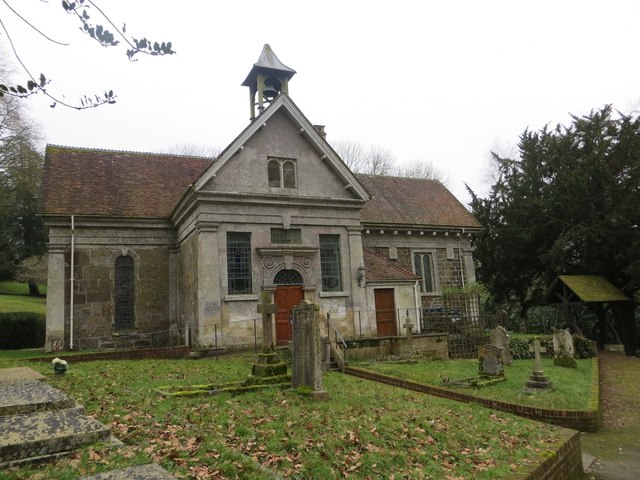
Church of St Birinus, Morgan's Vale
The Church of St Birinus is a Church of England church in Morgan's Vale, Wiltshire, England. It was designed by Charles Ponting and constructed in 1894...

Lover, Wiltshire
Lover (pronounced like Dover, ) is a small village in Wiltshire, England, close to the county border with Hampshire. It is part of the parish of Redlynch...
Redlynch, Wiltshire
Redlynch is a village and civil parish about 6.5 miles (10.5 km) southeast of Salisbury in Wiltshire, England. The parish includes the villages of Morgan...

Downton railway station
Downton was a railway station serving Downton, a village in Wiltshire. The village contained a large tanning mill on the River Avon, which has now closed...

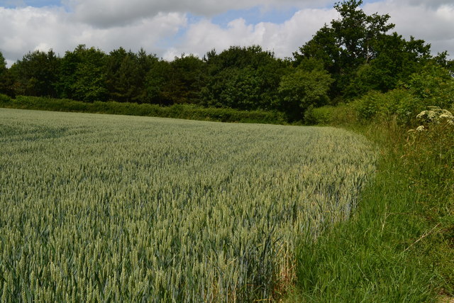
Loosehanger Copse and Meadows
Loosehanger Copse and Meadows (grid reference SU215195) is a 56.27 hectare biological Site of Special Scientific Interest in Wiltshire, England, notified...

South Charford
South Charford is a hamlet in the New Forest district, in Hampshire, England. It is in the civil parish of Breamore on the west bank of the River Avon...
Nearby Amenities
Located within 500m of 50.973653,-1.7282122Have you been to Cowards Moor Copse?
Leave your review of Cowards Moor Copse below (or comments, questions and feedback).