Milston Firs
Wood, Forest in Wiltshire
England
Milston Firs
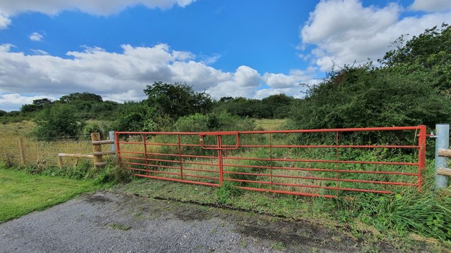
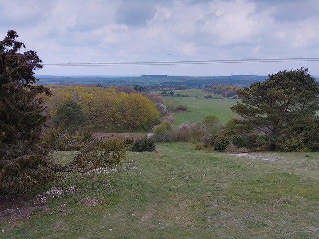
Milston Firs is a picturesque woodland located in the county of Wiltshire, England. Situated near the village of Milston, this enchanting forest covers an area of approximately 45 acres. It is known for its diverse range of trees, including majestic firs, oak, beech, and birch. The woodland is a haven for wildlife, providing a natural habitat for various species of birds, mammals, and insects.
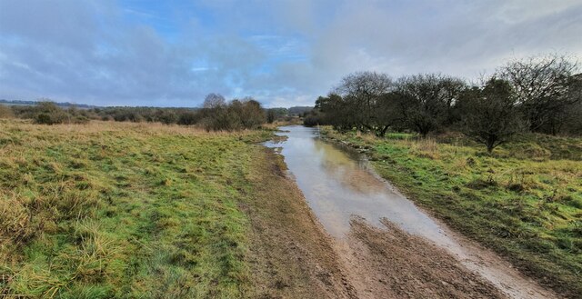
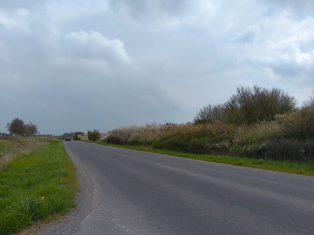
The dense canopies of Milston Firs create a tranquil and serene atmosphere, making it an ideal destination for nature lovers and outdoor enthusiasts. Walking trails wind their way through the forest, offering visitors an opportunity to explore and appreciate the stunning scenery. The forest floor is adorned with carpets of wildflowers during spring, creating a vibrant and colorful display.
Milston Firs has a rich history, with evidence of human activity dating back centuries. Archaeological remains, including ancient burial mounds, have been discovered within the woodland, highlighting its significance as a site of historical interest.
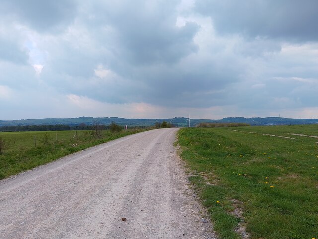
The forest is easily accessible, with ample parking facilities available nearby. It attracts visitors throughout the year, who come to enjoy the beauty of nature, engage in recreational activities, or simply relax in the peaceful surroundings. Milston Firs offers a true escape from the hustle and bustle of modern life, allowing visitors to reconnect with nature and experience the tranquility of this idyllic woodland.
If you have any feedback on the listing, please let us know in the comments section below.
Milston Firs Images
Images are sourced within 2km of 51.2108/-1.7274355 or Grid Reference SU1945. Thanks to Geograph Open Source API. All images are credited.


Milston Firs is located at Grid Ref: SU1945 (Lat: 51.2108, Lng: -1.7274355)
Unitary Authority: Wiltshire
Police Authority: Wiltshire
What 3 Words
///reckons.pigs.messy. Near Milston, Wiltshire
Nearby Locations
Related Wikis
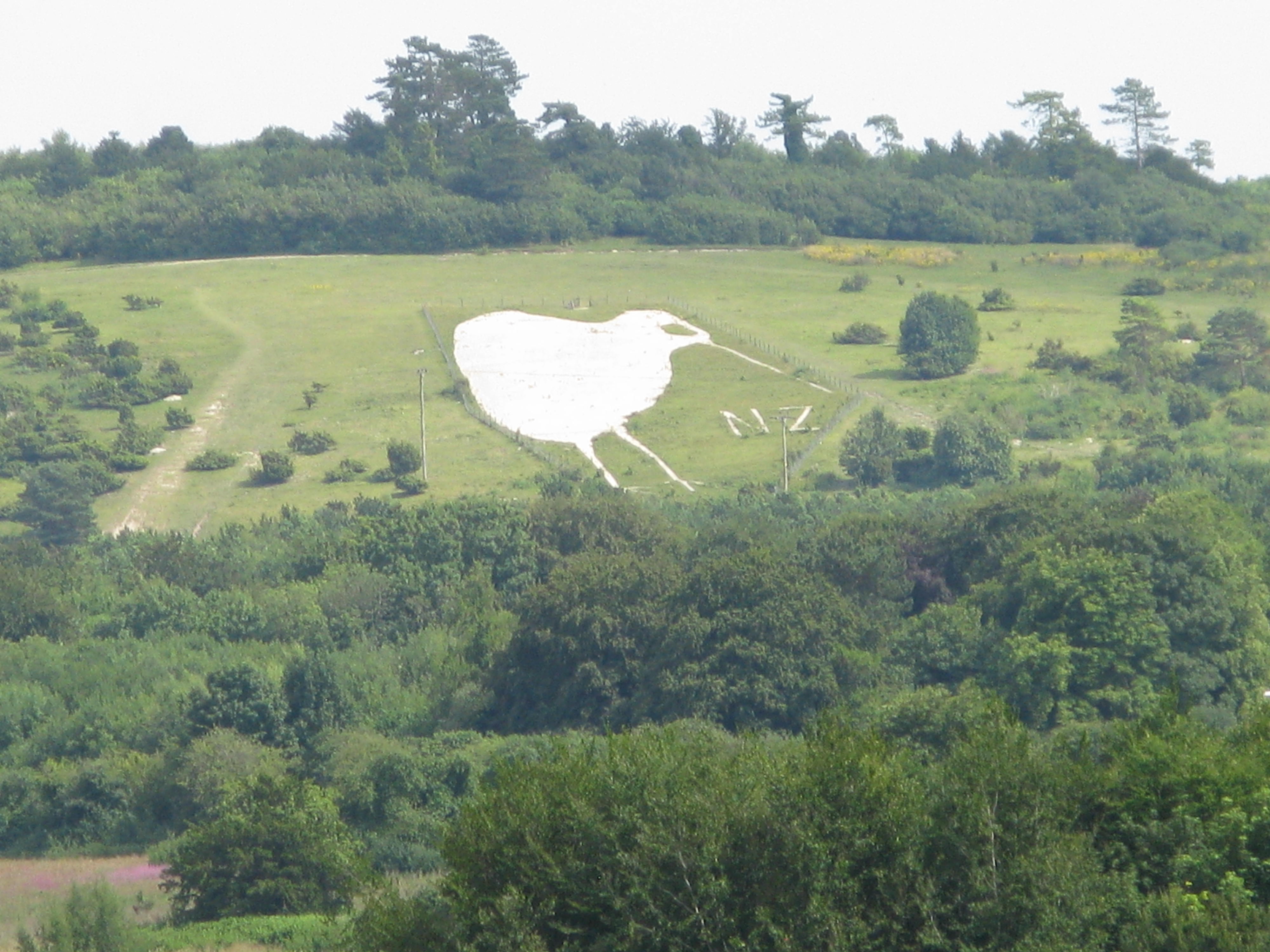
Bulford Kiwi
The Bulford Kiwi is a large depiction of a kiwi, carved in the chalk on Beacon Hill above the military town of Bulford on Salisbury Plain in Wiltshire...

Sling Camp
Sling Camp was a World War I camp occupied by New Zealand soldiers beside the then-military town of Bulford on the Salisbury Plain in Wiltshire, England...
Bulford Camp
Bulford Camp is a military camp on Salisbury Plain in Wiltshire, England. Established in 1897, the site continues in use as a large British Army base....

Barrow Clump
Barrow Clump is an archaeological site in Figheldean parish, Wiltshire, England, about 3+1⁄2 miles (5.6 km) north of the town of Amesbury. The site is...

Milston
Milston is a hamlet and civil parish in Wiltshire, England, about 10 miles (16 km) north of Salisbury and separated from Durrington by the River Avon....
Avon Valley Academy
Avon Valley Academy is a mixed secondary school in Durrington, Wiltshire, England. Earlier in its history it has been known as Durrington Senior School...
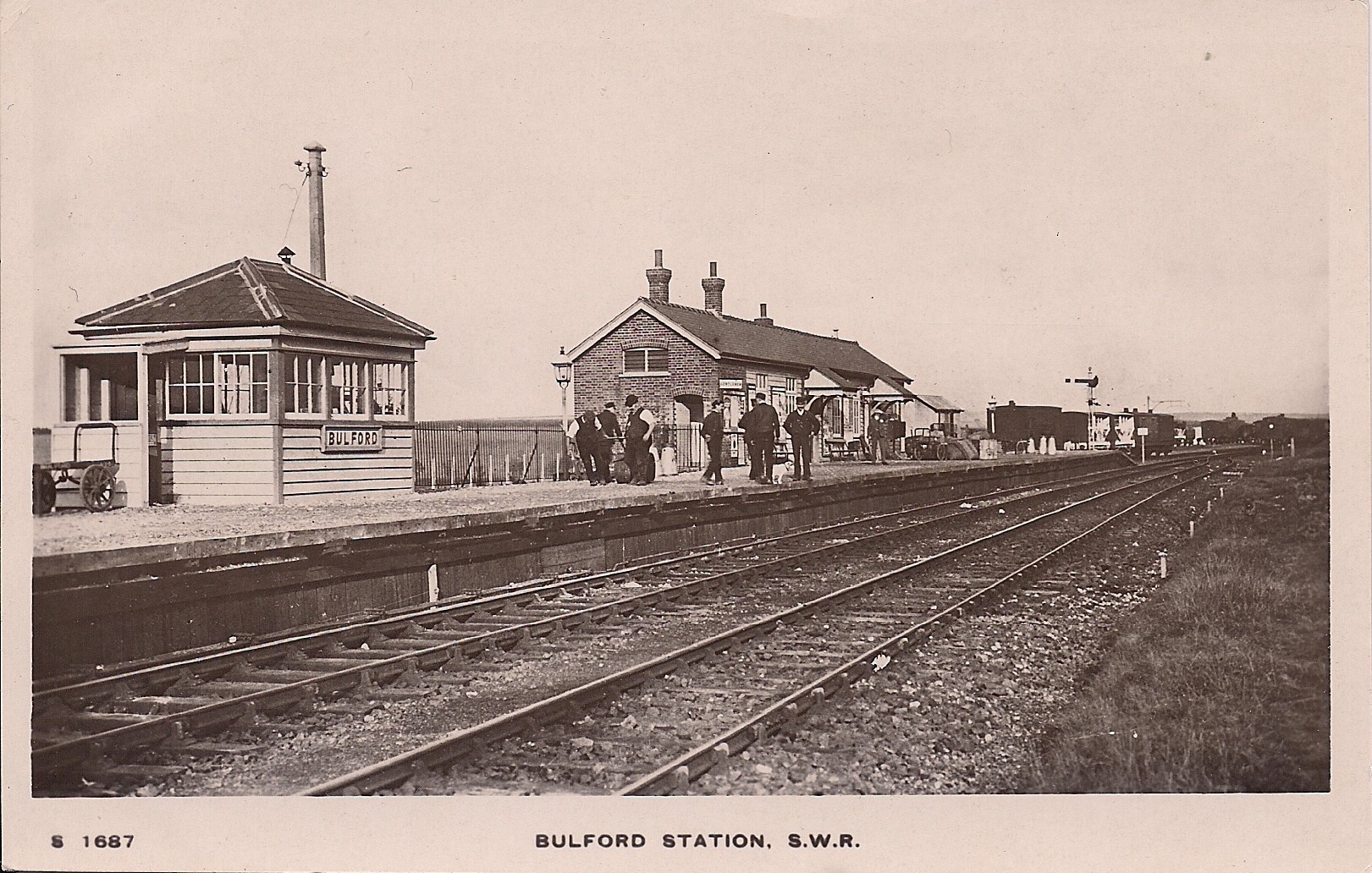
Bulford railway station
Bulford railway station served the village of Bulford in Wiltshire, England, between 1906 and 1963. == Extension == The line between Grateley and Amesbury...

Bulford
Bulford is a village and civil parish in Wiltshire, England, close to Salisbury Plain. The village is close to Durrington and about 1.5 miles (2.4 km...
Nearby Amenities
Located within 500m of 51.2108,-1.7274355Have you been to Milston Firs?
Leave your review of Milston Firs below (or comments, questions and feedback).