Dur Hill Inclosure
Wood, Forest in Hampshire New Forest
England
Dur Hill Inclosure
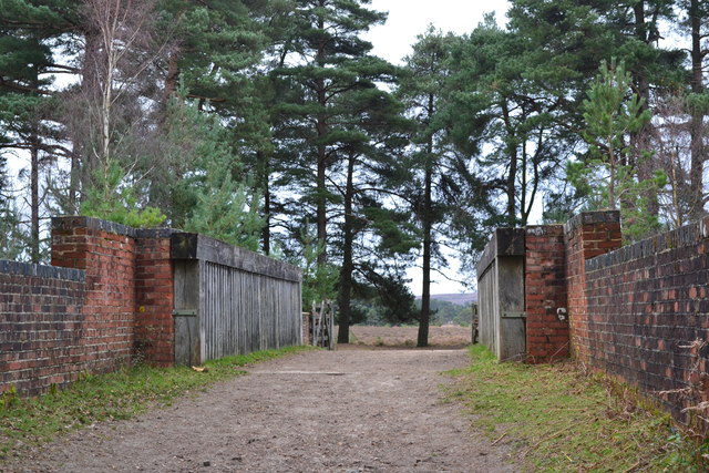
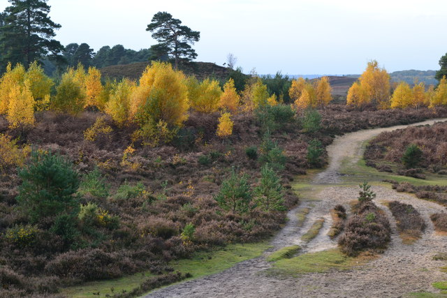
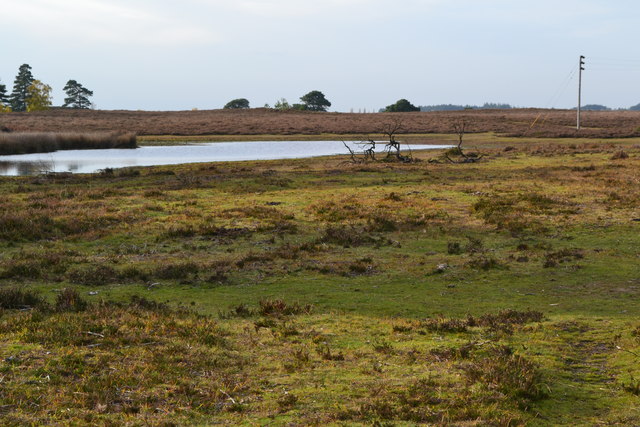
Dur Hill Inclosure is a beautiful wooded area located in Hampshire, England. Covering an area of approximately 100 hectares, it is a part of the larger New Forest National Park. The inclosure is known for its diverse range of tree species, creating a lush and vibrant forest environment.
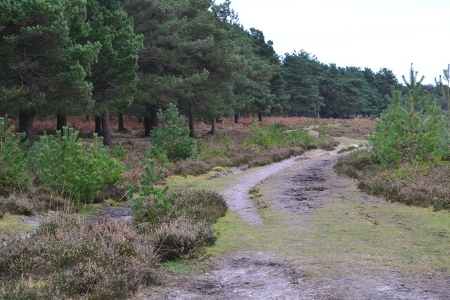
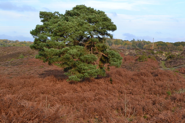
The dominant tree species found in Dur Hill Inclosure include oak, beech, and silver birch. These trees provide a dense canopy, creating a shaded and tranquil atmosphere for visitors to explore. The forest floor is covered in a thick layer of leaf litter, creating a soft carpet underfoot.
The inclosure is home to a variety of wildlife, including deer, foxes, and numerous species of birds. Nature enthusiasts can often spot buzzards soaring overhead or hear the melodic songs of woodland birds. The presence of such a rich ecosystem makes Dur Hill Inclosure a popular destination for birdwatching and wildlife photography.
There are several well-maintained walking trails throughout the inclosure, allowing visitors to fully immerse themselves in the natural beauty of the area. These trails offer scenic views and lead to peaceful spots where one can sit and enjoy the surroundings.
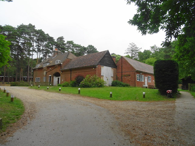
Dur Hill Inclosure is also a popular destination for picnicking and family outings. With designated picnic areas and ample space for children to play, it provides a perfect setting for a day out in nature.
Overall, Dur Hill Inclosure offers a peaceful and picturesque setting for nature lovers to explore. Its lush forests, diverse wildlife, and well-marked trails make it a must-visit destination for those seeking a tranquil escape in the heart of Hampshire.
If you have any feedback on the listing, please let us know in the comments section below.
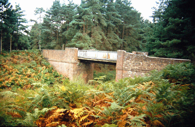
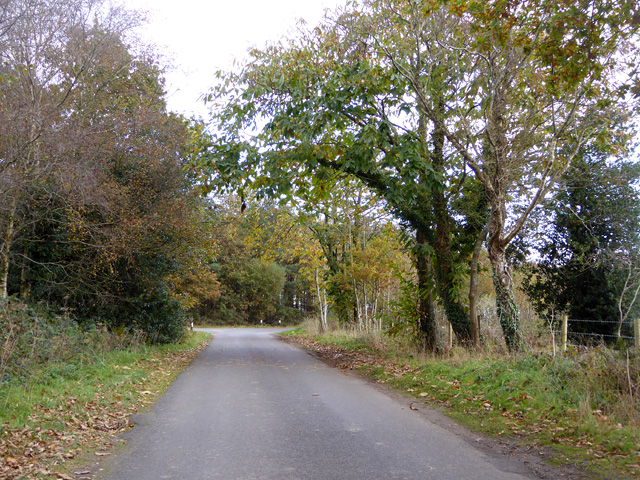
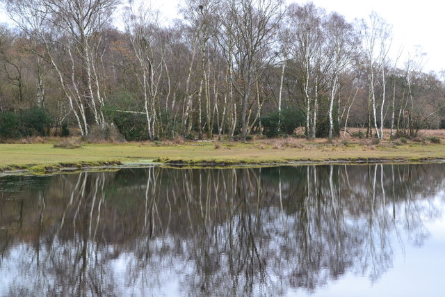
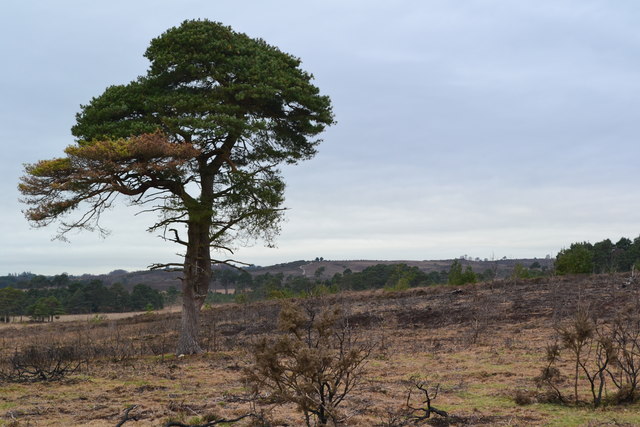
Dur Hill Inclosure Images
Images are sourced within 2km of 50.809871/-1.7306388 or Grid Reference SU1901. Thanks to Geograph Open Source API. All images are credited.


Dur Hill Inclosure is located at Grid Ref: SU1901 (Lat: 50.809871, Lng: -1.7306388)
Administrative County: Hampshire
District: New Forest
Police Authority: Hampshire
What 3 Words
///figs.songbook.tangling. Near Burley, Hampshire
Nearby Locations
Related Wikis

Avon Tyrrell House
Avon Tyrrell is an historic manor within the parish of Sopley, Hampshire. It is situated within the New Forest, near Christchurch. The present manor house...
All Saints' Church, Thorney Hill
All Saints' Church is a Church of England church in Thorney Hill, Hampshire, England. It was built in 1905–06 and has been a Grade I listed building since...

Bagnum
Bagnum is a hamlet in the English county of Hampshire. The settlement is within the civil parish of Ringwood (where the 2011 Census was included), and...
Sandford, Hampshire
Sandford is a small hamlet in the New Forest National Park of Hampshire, England. The nearest town to Sandford is Ringwood, which is approximately 2.6...
Nearby Amenities
Located within 500m of 50.809871,-1.7306388Have you been to Dur Hill Inclosure?
Leave your review of Dur Hill Inclosure below (or comments, questions and feedback).