Cow Wood
Wood, Forest in Yorkshire Harrogate
England
Cow Wood
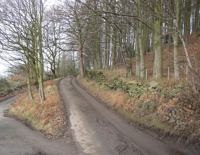
Cow Wood is a picturesque woodland located in the county of Yorkshire, England. Situated in the heart of the Yorkshire Dales, it covers an expansive area that stretches over rolling hills and valleys. The wood is known for its dense foliage, predominantly consisting of deciduous trees such as oak, beech, and birch, which create a rich tapestry of greens throughout the year.
This enchanting forest is a haven for wildlife, attracting a diverse range of species. Birdwatchers can spot a variety of avian inhabitants, including woodpeckers, owls, and warblers. Mammals such as foxes, badgers, and deer also call Cow Wood their home, often seen darting among the trees or grazing in the open meadows.
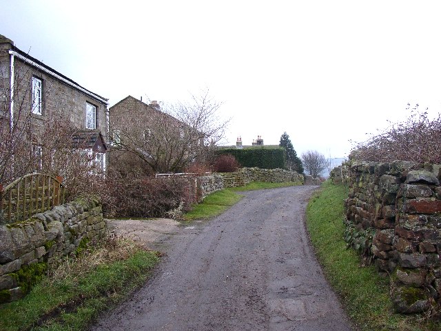
The wood offers numerous walking trails that meander through its scenic landscape, providing visitors with an opportunity to immerse themselves in nature. The paths are well-maintained, making it accessible for all types of walkers, from families to experienced hikers. The wood's tranquil atmosphere and captivating beauty make it a popular destination for nature lovers and photographers alike.
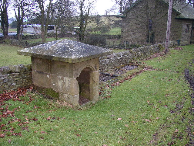
Cow Wood is not only a place of natural beauty but also holds historical significance. The remains of ancient settlements and stone circles can be found within its boundaries, offering a glimpse into the area's rich past. These archaeological sites provide a fascinating insight into the lives and traditions of the people who once inhabited this land.
Overall, Cow Wood is a captivating and biodiverse woodland, where visitors can connect with nature, explore its trails, and discover the history that lies within its boundaries.
If you have any feedback on the listing, please let us know in the comments section below.
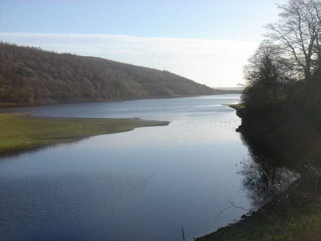
Cow Wood Images
Images are sourced within 2km of 53.95745/-1.7140373 or Grid Reference SE1851. Thanks to Geograph Open Source API. All images are credited.


Cow Wood is located at Grid Ref: SE1851 (Lat: 53.95745, Lng: -1.7140373)
Division: West Riding
Administrative County: North Yorkshire
District: Harrogate
Police Authority: North Yorkshire
What 3 Words
///tastings.surface.motoring. Near Otley, West Yorkshire
Nearby Locations
Related Wikis

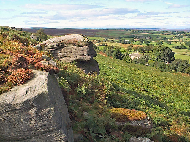
Snowden Crags
Snowden Crags is a prehistoric archaeological site on Askwith Moor in North Yorkshire, England. Local antiquarian Eric Cowling recorded a stone circle...

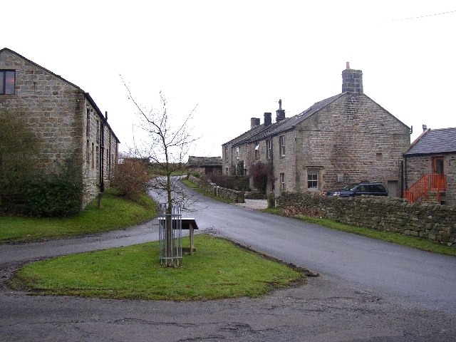
Timble
Timble is a village in the Harrogate district of North Yorkshire, England. It is situated on the slopes of the Washburn valley, north of Otley and close...

Fewston
Fewston is a village and civil parish in the Harrogate district of North Yorkshire, England. It is situated north of Otley and close to Swinsty and Fewston...
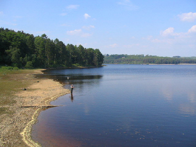
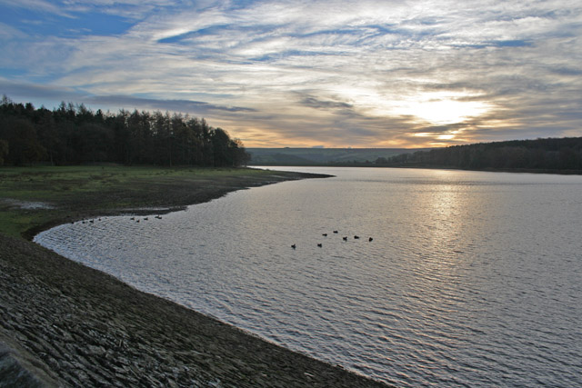
Swinsty Reservoir
Swinsty Reservoir is a reservoir in the Washburn valley north of Otley and west of Harrogate in Yorkshire, England. Construction began in 1871 and was...
Newall with Clifton
Newall with Clifton (historically also spelt Newell with Clifton) is a civil parish in North Yorkshire, England. It lies two miles north of Otley in West...

Norwood, North Yorkshire
Norwood is a civil parish in the Harrogate district of North Yorkshire, England. According to the 2001 UK census, Norwood parish had a population of 200...

Fewston Reservoir
Fewston Reservoir is located in the Washburn valley north of Otley and west of Harrogate in Yorkshire, England. It was built in 1879. The capacity is about...
Lindley Wood Reservoir
Lindley Wood Reservoir is located in the Washburn valley north of Otley in Yorkshire, England. == History == The reservoir was built by navvies between...
Nearby Amenities
Located within 500m of 53.95745,-1.7140373Have you been to Cow Wood?
Leave your review of Cow Wood below (or comments, questions and feedback).