Stang Brae

Wood, Forest in Yorkshire Harrogate

England

Stang Brae

Greygarth Monument Erected to celebrate Queen Victoria's Diamond Jubilee in 1897.  This spot affords tremendous views on a clear day, particularly to the east, over the Vale of York to the White Horse of Kilburn and the North York Moors.
Greygarth Monument Credit: Chris Heaton

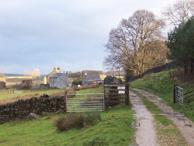
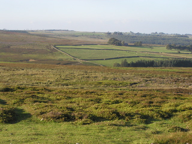
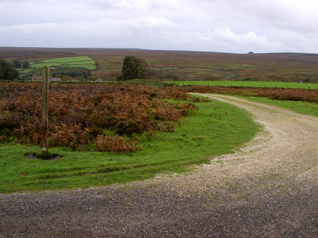
Stang Brae is a picturesque woodland located in the county of Yorkshire, England. Situated in the heart of the Yorkshire Dales, this enchanting forest covers an area of approximately 200 acres, making it a popular destination for nature lovers and outdoor enthusiasts alike.

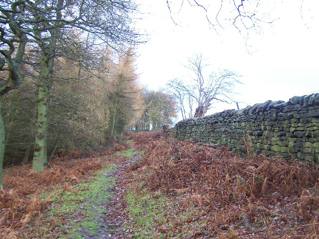
The woodland is characterized by its dense canopy of towering deciduous and coniferous trees, creating a serene and secluded atmosphere. Visitors to Stang Brae can expect to be greeted by an array of native flora and fauna, including oak, beech, and birch trees, as well as an abundance of wildflowers, such as bluebells and primroses, which carpet the forest floor during the spring months.

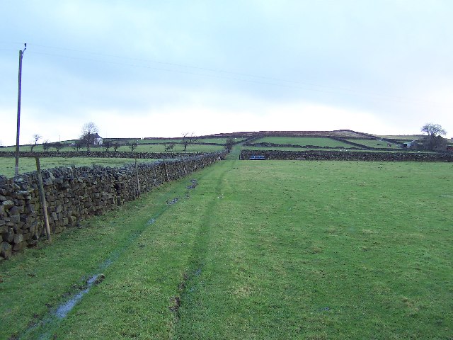
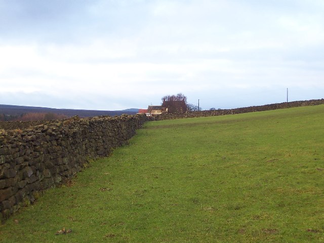
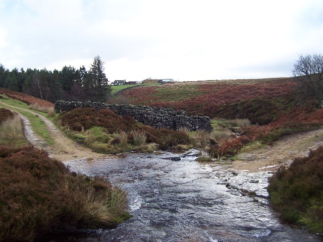
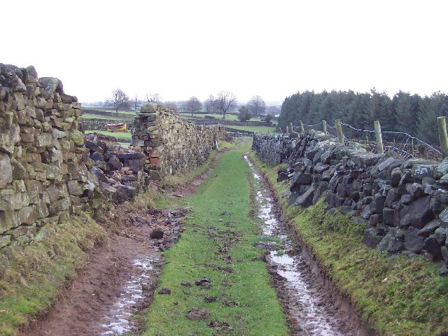
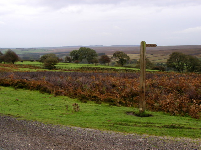
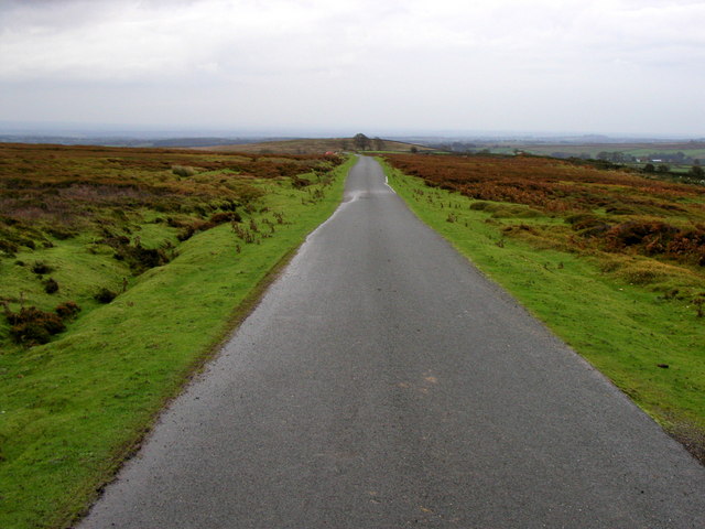
Tranquil pathways wind their way through the woodland, providing visitors with the opportunity to explore the natural beauty of Stang Brae at their own pace. These paths offer glimpses of babbling brooks, hidden waterfalls, and peaceful ponds, adding to the area's allure. Birdsong fills the air, with the woodland home to a variety of avian species, including woodpeckers, owls, and thrushes, making it a haven for birdwatchers.

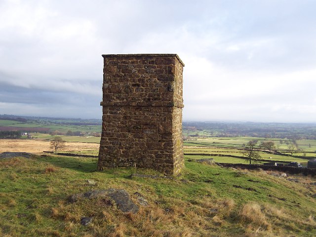
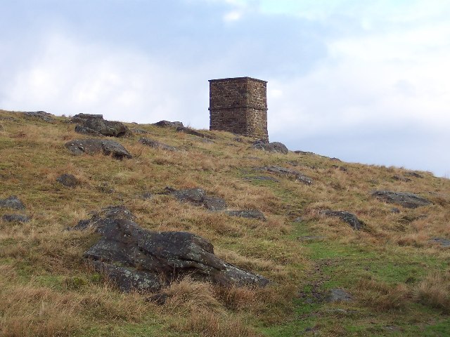
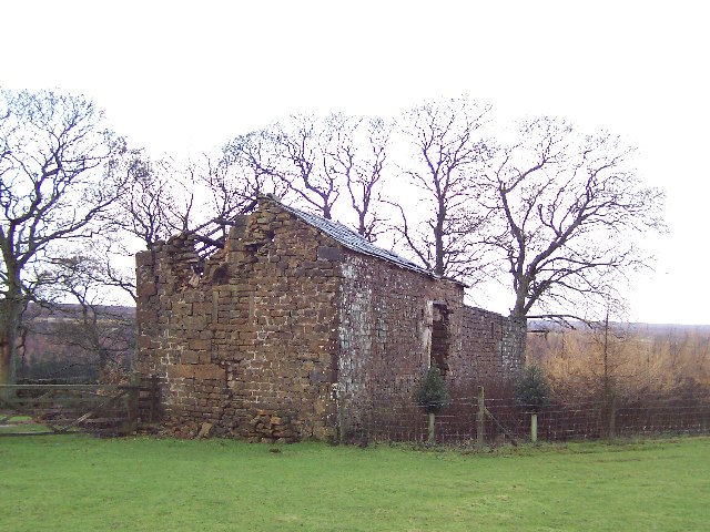
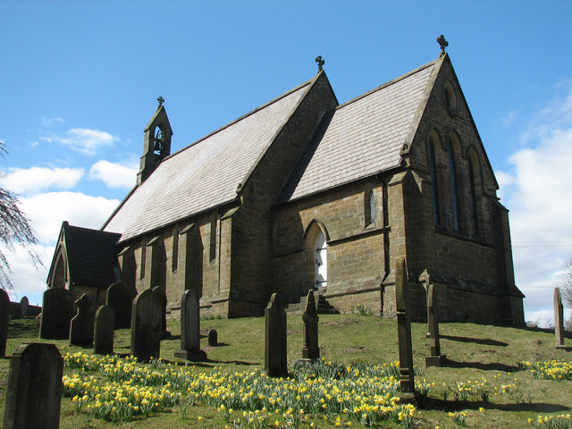
Stang Brae not only boasts natural beauty but also holds historical significance. The forest is home to several ancient ruins, including a medieval stone watchtower, which once formed part of the region's defense system. These remnants of the past offer a fascinating glimpse into the area's rich history and add an element of intrigue to any visit.

Whether visitors are seeking a peaceful stroll, a birdwatching adventure, or a journey through history, Stang Brae delivers on all fronts. It is a true gem within the Yorkshire landscape, inviting all who venture within its boundaries to experience the tranquility and natural splendor of this woodland paradise.

If you have any feedback on the listing, please let us know in the comments section below.
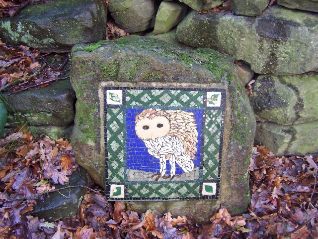
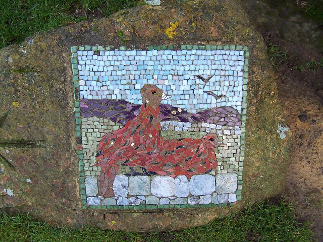
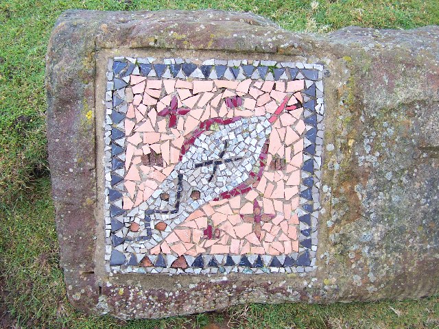
Stang Brae Images

Images are sourced within 2km of 54.13979/-1.7139011 or Grid Reference SE1871. Thanks to Geograph Open Source API. All images are credited.

Greygarth Monument Erected to celebrate Queen Victoria's Diamond Jubilee in 1897.  This spot affords tremendous views on a clear day, particularly to the east, over the Vale of York to the White Horse of Kilburn and the North York Moors.
Greygarth Monument
Erected to celebrate Queen Victoria's Diamond Jubilee in 1897. This spot affords tremendous views on a clear day, particularly to the east, over the Vale of York to the White Horse of Kilburn and the North York Moors.
Approach to Greygarth Monument There is a right of way over Greygarth Hill to reach the monument from the west.
Approach to Greygarth Monument
There is a right of way over Greygarth Hill to reach the monument from the west.
Green Lane leading away from Dallowgill to Greygarth Pleasant preamble through upland pastures near Greygarth.
Green Lane leading away from Dallowgill to Greygarth
Pleasant preamble through upland pastures near Greygarth.
Approaching Bents House Crossing upland pastures from the east, above the valley of Dallowgill to reach the farm known as Bents House
Approaching Bents House
Crossing upland pastures from the east, above the valley of Dallowgill to reach the farm known as Bents House
Dallow Collection of houses that make up the hamlet of Dallow, from the west.
Dallow
Collection of houses that make up the hamlet of Dallow, from the west.
Ford over Carlesmoor Beck This track fords Carlesmoor Beck on Hawsett Riggs, just below the confluence of Fortress Dyke and Wandley Gill.
Ford over Carlesmoor Beck
This track fords Carlesmoor Beck on Hawsett Riggs, just below the confluence of Fortress Dyke and Wandley Gill.
Abandoned Farm Buildings, Dallowgill Close to Bents House, and above the wooded cleft of Dallowgill.
Abandoned Farm Buildings, Dallowgill
Close to Bents House, and above the wooded cleft of Dallowgill.
Woods in Dallowgill
Woods in Dallowgill
Art near Stang Brae, Dallowgill Supplemental, I agree.  The area around Dallowgill has several of these mosaics in odd places, almost like a treasure hunt.  Someone with an artistic flair has gone to much trouble.
Art near Stang Brae, Dallowgill
Supplemental, I agree. The area around Dallowgill has several of these mosaics in odd places, almost like a treasure hunt. Someone with an artistic flair has gone to much trouble.
Mosaic on Hawset Rigg Another masterpiece around Dallowgill.  This one has an arrow indicator.
Mosaic on Hawset Rigg
Another masterpiece around Dallowgill. This one has an arrow indicator.
Mosaic on edge of Kirkby Malzeard Moor I must have seen about 10 of these works of art during a walk around Dallowgill.  This one is at the point where the green lane west of Carlesmoor House Farm enters Kirkby Malzeard Moor.
Mosaic on edge of Kirkby Malzeard Moor
I must have seen about 10 of these works of art during a walk around Dallowgill. This one is at the point where the green lane west of Carlesmoor House Farm enters Kirkby Malzeard Moor.
Green Lane near Carlesmoor House Farm Looking east, walking from Kirkby Malzeard Moor towards Carlesmoor
Green Lane near Carlesmoor House Farm
Looking east, walking from Kirkby Malzeard Moor towards Carlesmoor
Kirkby Malzeard Moor This is the view NE from MR: SE173728 on a lovely summer's evening.
Kirkby Malzeard Moor
This is the view NE from MR: SE173728 on a lovely summer's evening.
Saint Peter's Church, Dallowgill. A springtime view of a secluded chapel within Southern Nidderdale.
Saint Peter's Church, Dallowgill.
A springtime view of a secluded chapel within Southern Nidderdale.
Bridleway to Dallowgill
Moorland Road
Moorland Road
Moorland Bridleway
Moorland Bridleway
Saint Peter's Church Lovely little church far from any large concentrations of population.
Saint Peter's Church
Lovely little church far from any large concentrations of population.
Show me another place!

Stang Brae is located at Grid Ref: SE1871 (Lat: 54.13979, Lng: -1.7139011)

Division: West Riding

Administrative County: North Yorkshire

District: Harrogate

Police Authority: North Yorkshire

What 3 Words

///facelift.somebody.fills. Near Pateley Bridge, North Yorkshire

Related Wikis

Dallowgill

Dallowgill (historically also Dallaghill) is a village in Harrogate district in North Yorkshire, England. It consists of a number of scattered settlements...

High and Low Bishopside

High and Low Bishopside is a civil parish in Nidderdale in the Harrogate district, in the county of North Yorkshire, England. It includes the town of Pateley...

Laverton, North Yorkshire

Laverton is a village and civil parish in the Harrogate district of North Yorkshire, England, about 7 miles (11 km) west of Ripon. The population of this...

Grantley, North Yorkshire

Grantley is a village (also known as High Grantley) and civil parish in North Yorkshire, England. It lies 5 miles (8 km) west of Ripon. The parish also...

Eavestone

Eavestone is a hamlet and civil parish in the Harrogate district of North Yorkshire, England. It is situated near Brimham Rocks, 3 miles (4.8 km) east...

Kirkby Malzeard

Kirkby Malzeard () is a village and civil parish in the Harrogate district of North Yorkshire, England. There has been a creamery in the village making...

Wath-in-Nidderdale

Wath, sometimes known as Wath-in-Nidderdale to distinguish it from other places named Wath, is a village in the Harrogate district of North Yorkshire,...

Wath-in-Nidderdale railway station

Wath-in-Nidderdale railway station, was one of two intermediate stations on the Nidd Valley Light Railway, in Wath-in-Nidderdale, Yorkshire, England. The...

Nearby Amenities

Located within 500m of 54.13979,-1.7139011
Place: farm
Lat/Long: 54.1370358/-1.7143486
Place: farm
Lat/Long: 54.1417622/-1.712353
Water Point
Lat/Long: 54.1381184/-1.7099029
The data included in this document is from www.openstreetmap.org. The data is made available under ODbL.

Have you been to Stang Brae?

Leave your review of Stang Brae below (or comments, questions and feedback).