Black Plantation

Wood, Forest in Northumberland

England

Black Plantation

Layby on the A1 south of Alnwick The A1 is the longest numbered road in the UK at 410 miles long. It connects London with Edinburgh, via the east of England. 
For much of its path it follows the Great North Road the old coaching route between London and Edinburgh. Several sections of the route are classified as motorway A1(M). The modern A1 bypasses the towns the Great North Road passed through and is dual carriageway for most of its route through England.
Layby on the A1 south of Alnwick Credit: David Dixon

Black Plantation is a woodland area located in Northumberland, England. Covering an expansive area, the plantation is known for its dense forest and rich biodiversity. The woodland is situated in close proximity to the village of Wood, making it easily accessible for locals and visitors alike.

The plantation is characterized by its abundance of black pine trees, hence the name "Black Plantation." These towering trees create a captivating and picturesque landscape, offering a sense of tranquility and serenity to those who explore the area. The forest floor is covered in a thick carpet of moss and ferns, adding to the enchanting atmosphere.

The woodland is home to a diverse range of wildlife, making it a popular spot for nature enthusiasts and birdwatchers. Bird species such as woodpeckers, thrushes, and owls can often be spotted or heard within the plantation. Additionally, various mammals like deer, squirrels, and foxes inhabit the area.

Visitors to Black Plantation can enjoy a number of activities, including walking and hiking. The woodland is interlaced with numerous trails, providing opportunities for leisurely strolls or more challenging hikes. These paths lead visitors through the heart of the forest, allowing them to immerse themselves in the natural beauty of the surroundings.

Overall, Black Plantation in Northumberland offers a captivating experience for nature lovers and outdoor enthusiasts. Its dense forest, diverse wildlife, and scenic trails make it a must-visit destination for anyone seeking a peaceful and rejuvenating retreat in the heart of nature.

If you have any feedback on the listing, please let us know in the comments section below.

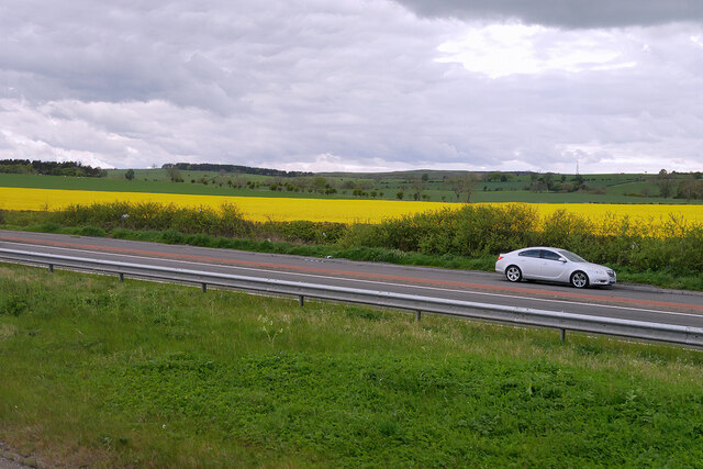
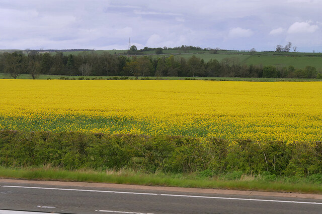
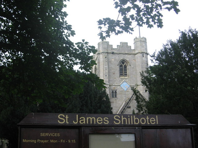
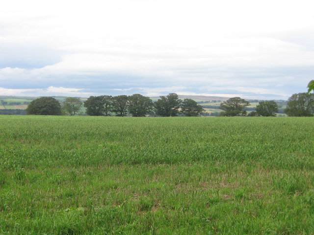
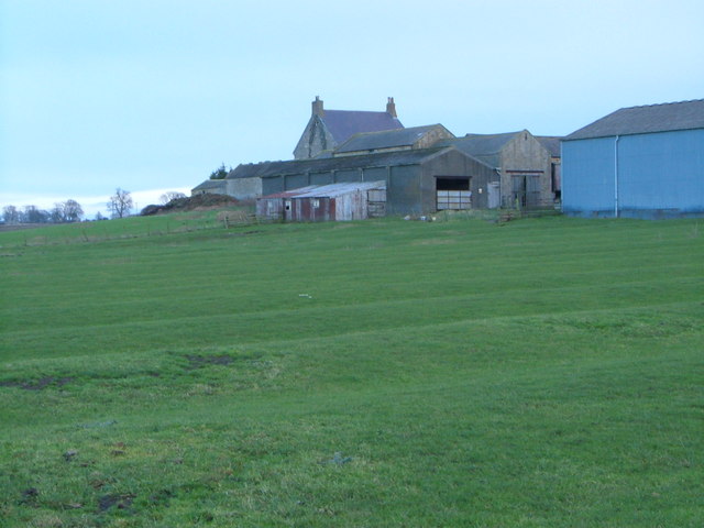
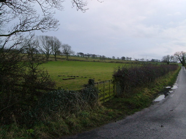
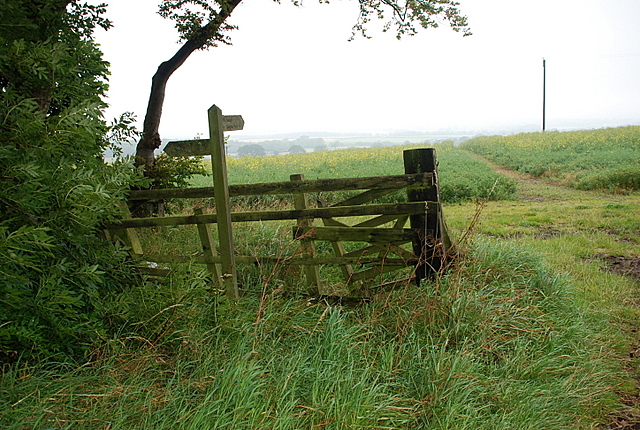
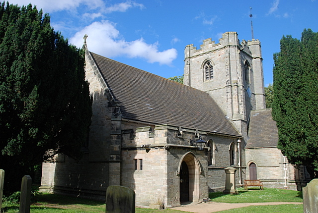
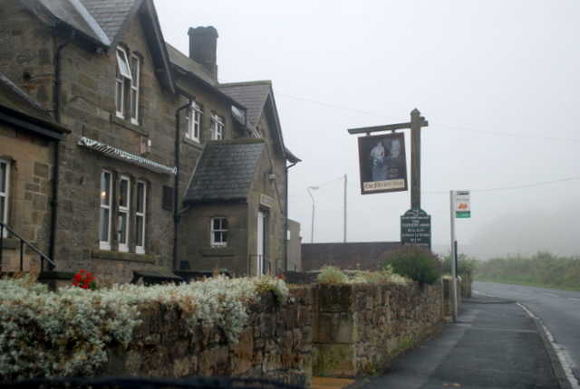
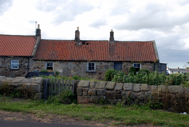
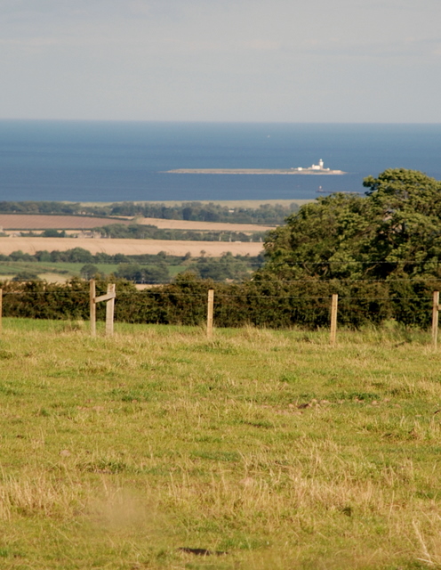
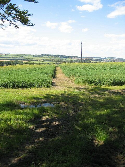
Black Plantation Images

Images are sourced within 2km of 55.380132/-1.706462 or Grid Reference NU1809. Thanks to Geograph Open Source API. All images are credited.

Layby on the A1 south of Alnwick The A1 is the longest numbered road in the UK at 410 miles long. It connects London with Edinburgh, via the east of England. 
For much of its path it follows the Great North Road the old coaching route between London and Edinburgh. Several sections of the route are classified as motorway A1(M). The modern A1 bypasses the towns the Great North Road passed through and is dual carriageway for most of its route through England.
Layby on the A1 south of Alnwick
The A1 is the longest numbered road in the UK at 410 miles long. It connects London with Edinburgh, via the east of England. For much of its path it follows the Great North Road the old coaching route between London and Edinburgh. Several sections of the route are classified as motorway A1(M). The modern A1 bypasses the towns the Great North Road passed through and is dual carriageway for most of its route through England.
Rape Field next to the A1 south of Alnwick
Road Junction on the A1 near Shilbottle The road towards Whittingham.
Road Junction on the A1 near Shilbottle
The road towards Whittingham.
Public Weighbridge on the A1 near Shilbottle The A1 is the longest numbered road in the UK at 410 miles long. It connects London with Edinburgh, via the east of England. 
For much of its path it follows the Great North Road the old coaching route between London and Edinburgh. Several sections of the route are classified as motorway A1(M). The modern A1 bypasses the towns the Great North Road passed through and is dual carriageway for most of its route through England.
Public Weighbridge on the A1 near Shilbottle
The A1 is the longest numbered road in the UK at 410 miles long. It connects London with Edinburgh, via the east of England. For much of its path it follows the Great North Road the old coaching route between London and Edinburgh. Several sections of the route are classified as motorway A1(M). The modern A1 bypasses the towns the Great North Road passed through and is dual carriageway for most of its route through England.
Wheat field, Deanmoor
Deanmoor Heading south on the A1 (not driving)
Deanmoor
Heading south on the A1 (not driving)
Shilbotel Church
Shilbotel Church
Beacon Hill Summit sown with wheat
Beacon Hill
Summit sown with wheat
Lane approaching A1 The lane from Rugley heads across flat land past wind-shaped trees to meet the A1 at Deansmoor.
Lane approaching A1
The lane from Rugley heads across flat land past wind-shaped trees to meet the A1 at Deansmoor.
Colliery Farm There were once six coal shafts operating in this area of Shilbottle, but the ridge and furrow field has survived any landscape changes. Taken from the bridleway from West Cawledge Park.
Colliery Farm
There were once six coal shafts operating in this area of Shilbottle, but the ridge and furrow field has survived any landscape changes. Taken from the bridleway from West Cawledge Park.
Field beside Deanmoor Road From the junction near Colliery Farm; the lane is heading to join the A1 at Deanmoor.
Field beside Deanmoor Road
From the junction near Colliery Farm; the lane is heading to join the A1 at Deanmoor.
Track through the oilseed rape field The track heads north to West Cawledge Park.
Track through the oilseed rape field
The track heads north to West Cawledge Park.
Shilbottle Church A view of the church from within the graveyard.
Shilbottle Church
A view of the church from within the graveyard.
The Farriers Arms Shilbottle's public house.
The Farriers Arms
Shilbottle's public house.
Agricultural workers cottages. These traditional cottages still show many of their original features.
Agricultural workers cottages.
These traditional cottages still show many of their original features.
Fields below Hillhead This mixed agricultural land slopes down to the sea.  Coquet Island can be seen in the background about 10 kilometres away.
Fields below Hillhead
This mixed agricultural land slopes down to the sea. Coquet Island can be seen in the background about 10 kilometres away.
An obliging farmer! The footpath to West Cawledge.
An obliging farmer!
The footpath to West Cawledge.
Parish church at Shilbottle
Show me another place!

Black Plantation is located at Grid Ref: NU1809 (Lat: 55.380132, Lng: -1.706462)

Unitary Authority: Northumberland

Police Authority: Northumbria

What 3 Words

///reunion.parsnips.incurring. Near Shilbottle, Northumberland

Nearby Locations

Black Plantation

Related Wikis

Shilbottle

Shilbottle is a village in Northumberland, north-east England, 3 miles (4.8 km) south-east of Alnwick, and 5 miles (8 km) from the coast at Alnmouth, close...

The Duchess's Community High School

The Duchess's Community High School is a co-educational secondary school and sixth form located in Alnwick in the English county of Northumberland. It...

Bilton Banks, Northumberland

Bilton Banks was a village in Northumberland adjacent to the coal mines of Shilbottle and Longdyke. It was home to many miners’ families from the late...

Alnwick Town A.F.C.

Alnwick Town Association Football Club is a football club based in Alnwick, Northumberland, England. They are currently members of the Northern Alliance...

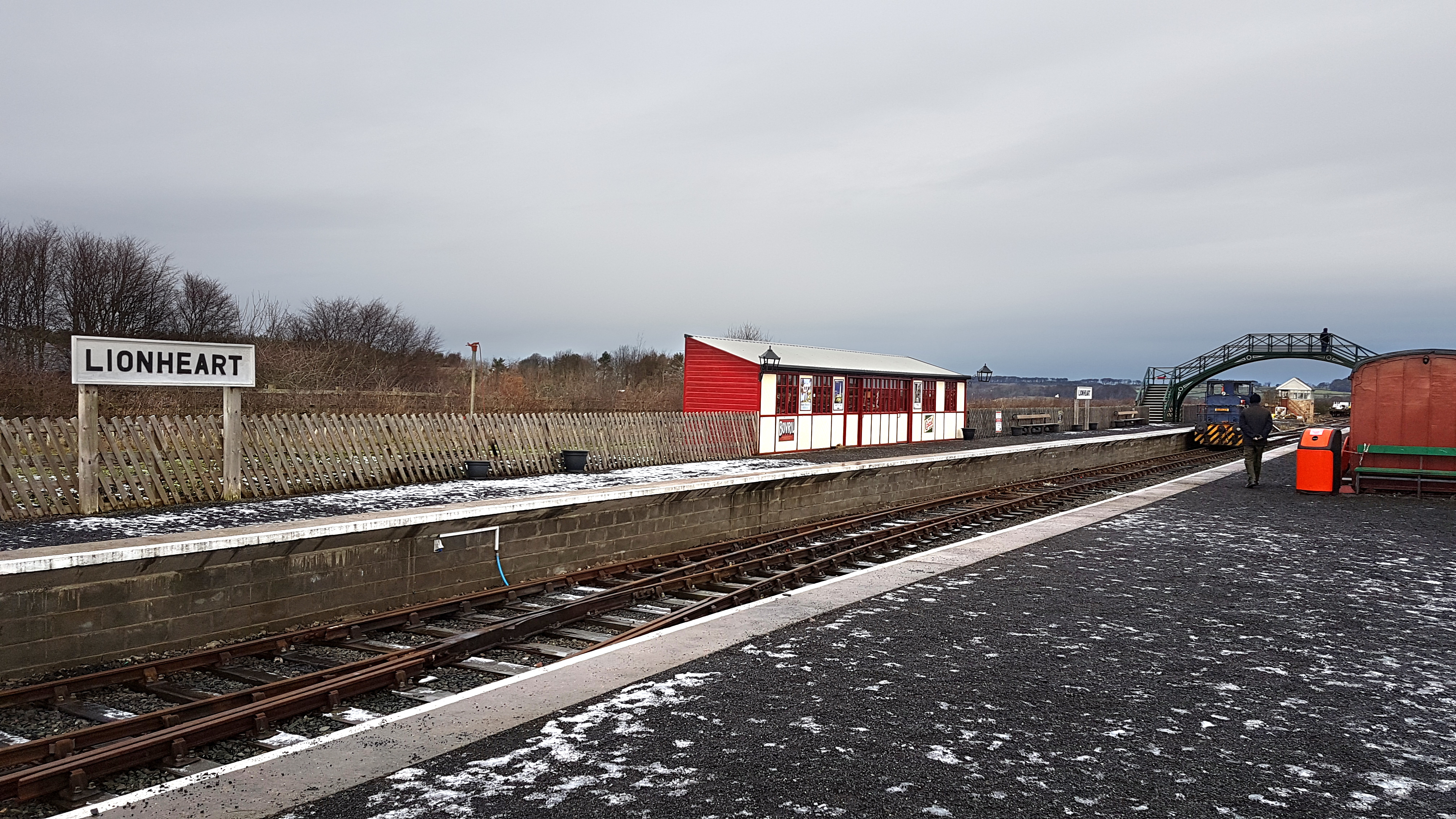
Alnwick Lionheart railway station

Alnwick Lionheart is a railway station situated on the edge of the Lionheart Enterprise Park on the outskirts of Alnwick, Northumberland. It is the western...

Camphill Column, Alnwick

The Camphill Column in Alnwick, Northumberland, is a stone column erected in 1814, celebrating a number of British victories over the French and others...

Alnwick branch line

The Alnwick branch line is a partly closed railway line in Northumberland, northern England. A heritage railway currently operates a mile of the line,...

Alnwick railway station

Alnwick railway station was the terminus of the Alnwick branch line, which diverged from the East Coast Main Line at Alnmouth in Northumberland, Northern...

Nearby Amenities

Located within 500m of 55.380132,-1.706462
Information: guidepost
Tourism: information
Lat/Long: 55.3789767/-1.7102233
3G Hutchison radio mast
Man Made: tower
Source: survey
Lat/Long: 55.3812482/-1.7105384
The data included in this document is from www.openstreetmap.org. The data is made available under ODbL.

Have you been to Black Plantation?

Leave your review of Black Plantation below (or comments, questions and feedback).