Avon Clump
Wood, Forest in Hampshire New Forest
England
Avon Clump
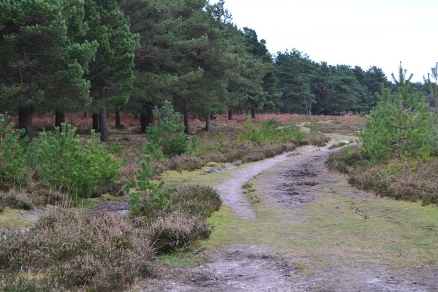
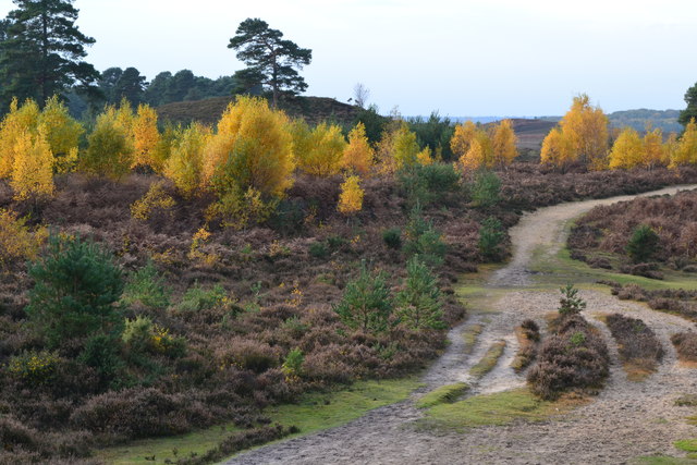
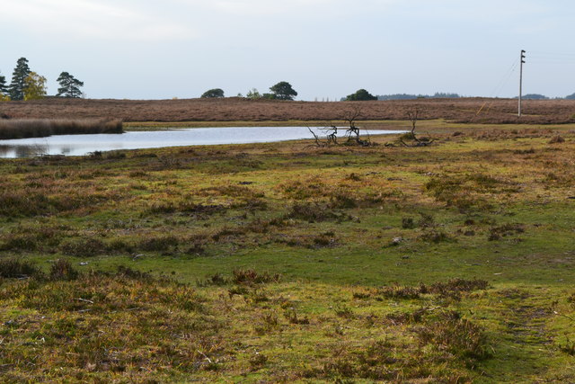
Avon Clump, located in Hampshire, is a stunning woodland area known for its natural beauty and diverse ecosystem. Situated near the River Avon, this forested area covers a vast expanse of land and offers a tranquil escape from the hustle and bustle of daily life.
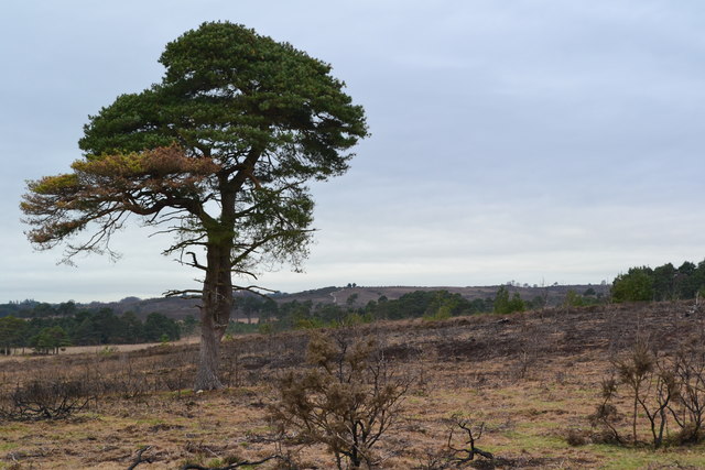
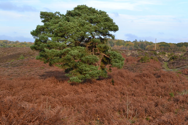
The woodland is predominantly composed of ancient oak and beech trees, which tower majestically over the forest floor. These trees provide a dense canopy, creating a shaded and cool environment for visitors to explore. The forest floor itself is covered in a thick carpet of moss, ferns, and wildflowers, which adds to the enchanting atmosphere.
Avon Clump is home to a wide variety of wildlife, making it a haven for nature enthusiasts. Visitors can spot numerous bird species, including woodpeckers, owls, and various songbirds. Additionally, the forest is inhabited by deer, foxes, rabbits, and other small mammals, adding to the biodiversity of the area.
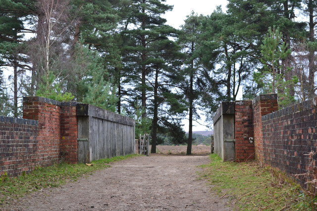
The forest offers well-maintained walking trails that wind their way through the trees, providing access to the different parts of Avon Clump. These trails cater to all levels of fitness and provide ample opportunities for leisurely strolls or more challenging hikes. Along the way, visitors can enjoy breathtaking views of the surrounding countryside and may even stumble upon hidden ponds and streams.
Avon Clump is a true gem in Hampshire, offering a peaceful retreat for those seeking solace in nature. Whether birdwatching, hiking, or simply enjoying a picnic amidst the ancient trees, visitors are sure to be captivated by the beauty and tranquility of this enchanting woodland.
If you have any feedback on the listing, please let us know in the comments section below.
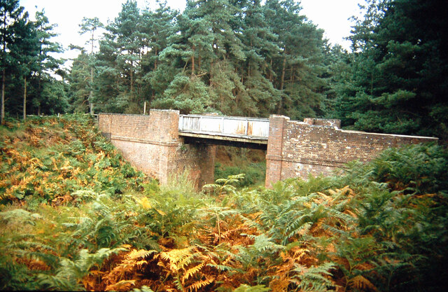
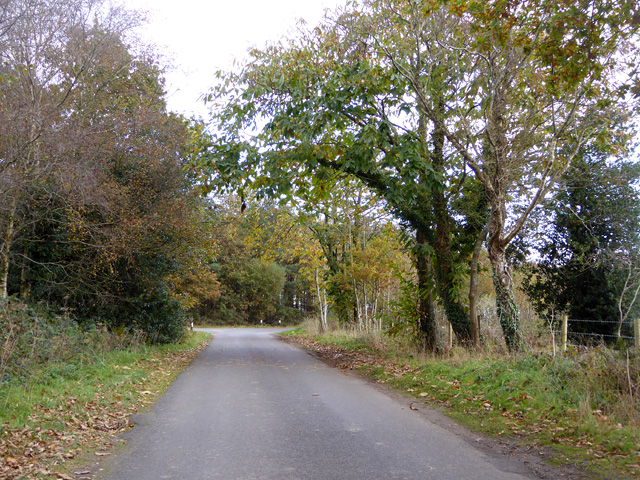
Avon Clump Images
Images are sourced within 2km of 50.804317/-1.7365033 or Grid Reference SU1800. Thanks to Geograph Open Source API. All images are credited.


Avon Clump is located at Grid Ref: SU1800 (Lat: 50.804317, Lng: -1.7365033)
Administrative County: Hampshire
District: New Forest
Police Authority: Hampshire
What 3 Words
///noon.sleepless.roofer. Near Bransgore, Hampshire
Nearby Locations
Related Wikis

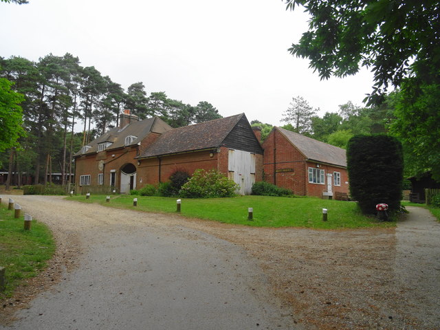
Avon Tyrrell House
Avon Tyrrell is an historic manor within the parish of Sopley, Hampshire. It is situated within the New Forest, near Christchurch. The present manor house...

All Saints' Church, Thorney Hill
All Saints' Church is a Church of England church in Thorney Hill, Hampshire, England. It was built in 1905–06 and has been a Grade I listed building since...

Bagnum
Bagnum is a hamlet in the English county of Hampshire. The settlement is within the civil parish of Ringwood (where the 2011 Census was included), and...
Sandford, Hampshire
Sandford is a small hamlet in the New Forest National Park of Hampshire, England. The nearest town to Sandford is Ringwood, which is approximately 2.6...
Bransgore
Bransgore is a village and civil parish within the New Forest District, Hampshire, England. The village developed in the 19th century when a church and...

RAF Holmsley South
Royal Air Force Holmsley South or more simply RAF Holmsley South is a former Royal Air Force station in Hampshire, England. The airfield is located approximately...

RAF Bisterne
Royal Air Force Bisterne or more simply RAF Bisterne is a former Royal Air Force Advanced Landing Ground in Hampshire, England. The airfield is located...

Castle Hill, Hampshire
Castle Hill is the site of an Iron Age univallate hillfort located in the civil parish of Burley in the New Forest national park in Hampshire, England...
Nearby Amenities
Located within 500m of 50.804317,-1.7365033Have you been to Avon Clump?
Leave your review of Avon Clump below (or comments, questions and feedback).