Cadley Clump

Wood, Forest in Gloucestershire Cotswold

England

Cadley Clump

New Farm, Dorn New Farm is just north of the lane that runs from Fosse Way and the railway to Batsford Park.
New Farm, Dorn Credit: Nigel Mykura

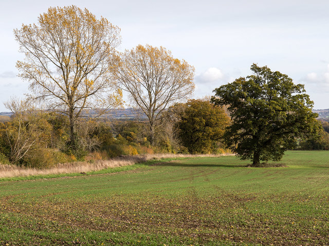
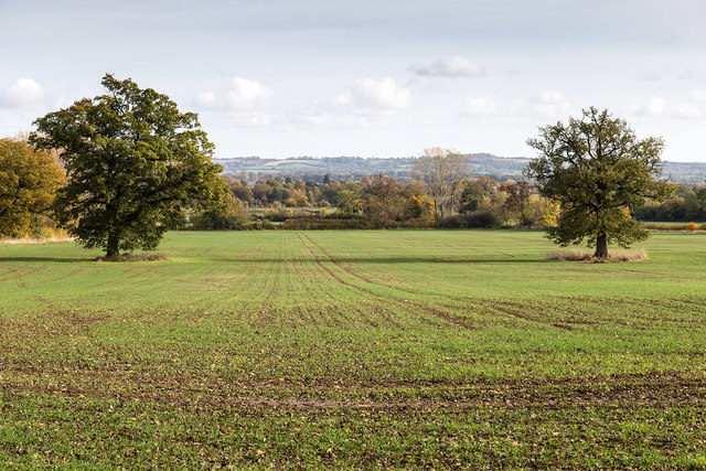
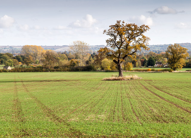
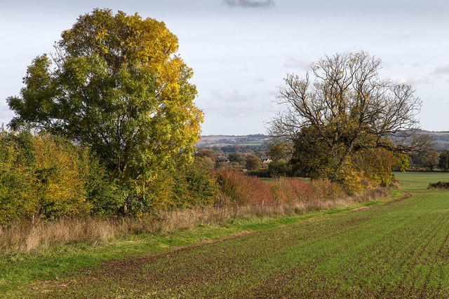
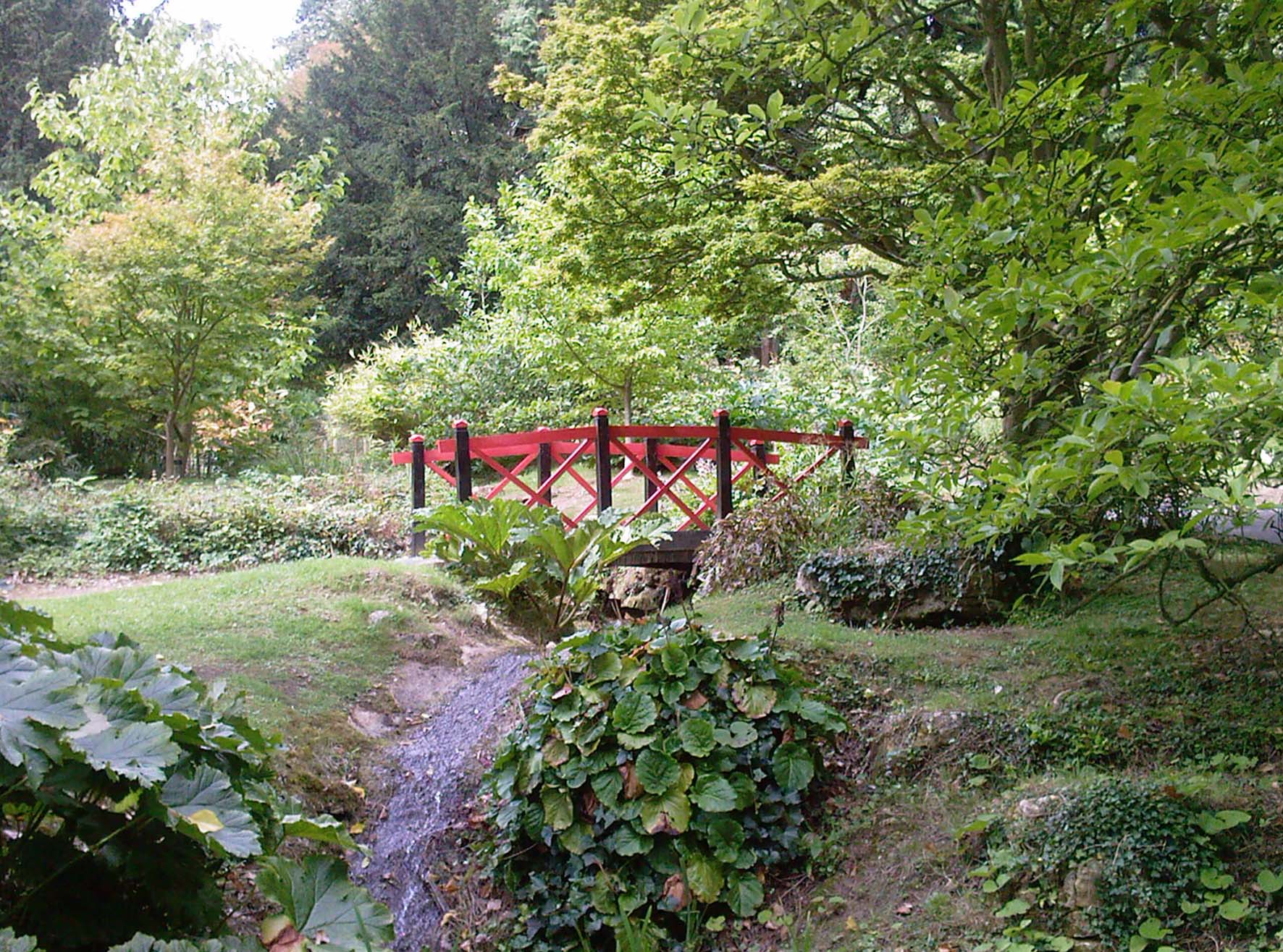
Cadley Clump is a small but enchanting woodland located in Gloucestershire, England. Situated near the village of Cadley, it is nestled within the picturesque countryside of the Cotswold Hills. The woodland covers an area of approximately 30 acres and is a prominent feature of the local landscape.

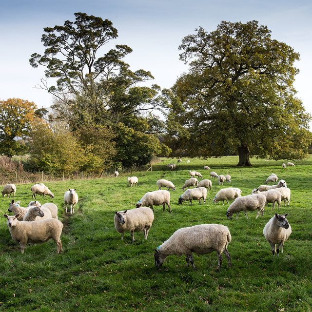
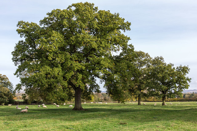
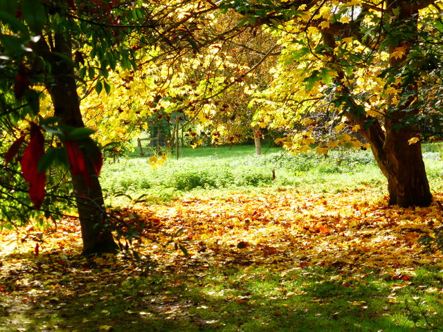
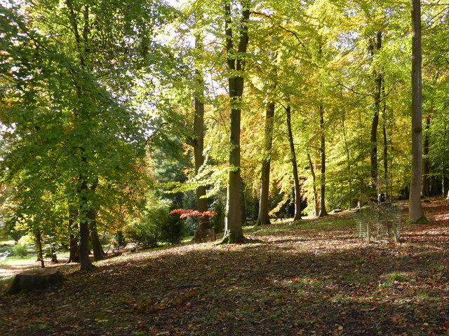
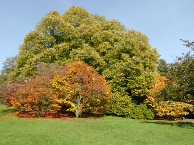
The clump is predominantly composed of ancient oak trees, which have stood tall for centuries, creating a dense and lush forest canopy. These majestic trees provide a haven for a wide array of wildlife, including birds, mammals, and insects. The woodland floor is carpeted with a diverse range of flora, such as bluebells, wood anemones, and primroses, adding bursts of color throughout the seasons.

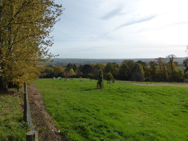
Cadley Clump is a popular destination for nature enthusiasts, hikers, and photographers, who are drawn to its serene beauty and tranquility. Several well-marked trails meander through the woodland, offering visitors the opportunity to explore at their own pace. The clump also features a small picnic area, providing a perfect spot to rest and enjoy the surroundings.

The woodland has a rich history and is believed to have been part of the ancient royal hunting grounds. It has served as a valuable resource for timber and firewood throughout the years, and evidence of these activities can still be seen in the form of old tree stumps and fallen logs.

Overall, Cadley Clump is a hidden gem in Gloucestershire, offering a peaceful retreat in the heart of nature. Its ancient oaks, diverse wildlife, and scenic trails make it a must-visit destination for anyone seeking a connection with the natural world.

If you have any feedback on the listing, please let us know in the comments section below.
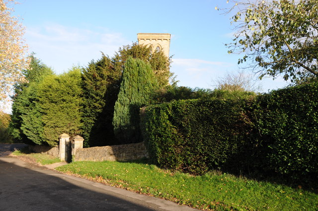
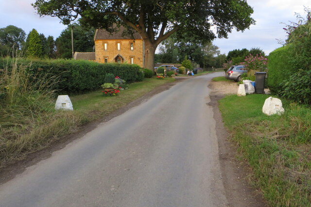
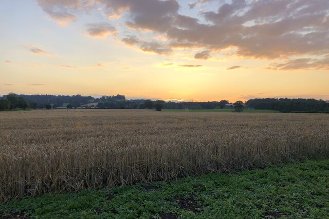
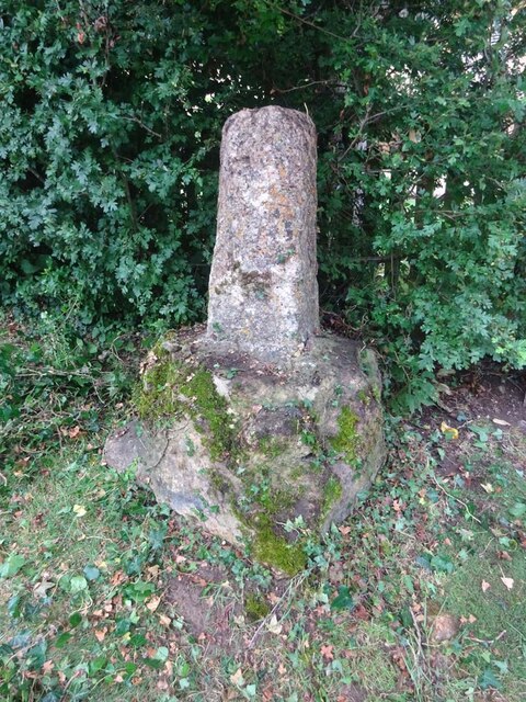
Cadley Clump Images

Images are sourced within 2km of 52.008461/-1.7297598 or Grid Reference SP1834. Thanks to Geograph Open Source API. All images are credited.

New Farm, Dorn New Farm is just north of the lane that runs from Fosse Way and the railway to Batsford Park.
New Farm, Dorn
New Farm is just north of the lane that runs from Fosse Way and the railway to Batsford Park.
Former Aston Magna church No longer a church, now converted into a private residence, the hedge is so high the tower is barely visible.
Former Aston Magna church
No longer a church, now converted into a private residence, the hedge is so high the tower is barely visible.
Diamond Way going to Aston Magna
Coming in to Dorn
Coming in to Dorn
Field of wheat at sunset
Wayside Cross, Aston Magna, Blockley 15ᵗʰ C shaft and base with shaped stops on octagonal plinth. 
These crosses were placed for pilgrims to stop and pray for a safe journey, probably en route to Oxford.

Grade II listed Nᴼ 1088642 <span class="nowrap"><a title="https://historicengland.org.uk/listing/the-list/list-entry/1088642" rel="nofollow ugc noopener" href="https://historicengland.org.uk/listing/the-list/list-entry/1088642">Link</a><img style="margin-left:2px;" alt="External link" title="External link - shift click to open in new window" src="https://s1.geograph.org.uk/img/external.png" width="10" height="10"/></span>

Milestone Society National ID: GLCO_BLO
Wayside Cross, Aston Magna, Blockley
15ᵗʰ C shaft and base with shaped stops on octagonal plinth. These crosses were placed for pilgrims to stop and pray for a safe journey, probably en route to Oxford. Grade II listed Nᴼ 1088642 LinkExternal link Milestone Society National ID: GLCO_BLO
St. Mary's Church, Batsford The south side of the church from the edge of the churchyard.
Anglican parish church. Rebuilt by W.F. Poulton and Woodman of
Reading 1861-2. Ashlar limestone.<span class="nowrap"><a title="http://www.britishlistedbuildings.co.uk/en-128641-church-of-st-mary-batsford-gloucestershi#.Viz3Syspknk" rel="nofollow ugc noopener" href="http://www.britishlistedbuildings.co.uk/en-128641-church-of-st-mary-batsford-gloucestershi#.Viz3Syspknk">Link</a><img style="margin-left:2px;" alt="External link" title="External link - shift click to open in new window" src="https://s1.geograph.org.uk/img/external.png" width="10" height="10"/></span>
St. Mary's Church, Batsford
The south side of the church from the edge of the churchyard. Anglican parish church. Rebuilt by W.F. Poulton and Woodman of Reading 1861-2. Ashlar limestone.LinkExternal link
Autumn Fields View ESE from the footpath to Bourton-on-the-Hill.
Autumn Fields
View ESE from the footpath to Bourton-on-the-Hill.
Autumn Fields View ESE from the footpath to Bourton-on-the-Hill.
Autumn Fields
View ESE from the footpath to Bourton-on-the-Hill.
Autumn Fields View ESE from the footpath to Bourton-on-the-Hill.
Autumn Fields
View ESE from the footpath to Bourton-on-the-Hill.
Sheep by the footpath View ESE from the footpath to Bourton-on-the-Hill.
Sheep by the footpath
View ESE from the footpath to Bourton-on-the-Hill.
Autumn Hedgerow View ESE from the footpath to Bourton-on-the-Hill.
Autumn Hedgerow
View ESE from the footpath to Bourton-on-the-Hill.
Autumn Fields View ESE from the footpath to Bourton-on-the-Hill.
Autumn Fields
View ESE from the footpath to Bourton-on-the-Hill.
Batsford Arboretum - viewpoint Looking over the boundary fence at one of the corners of the arboretum.
Batsford Arboretum - viewpoint
Looking over the boundary fence at one of the corners of the arboretum.
Batsford Church from the Arboretum It is possible to enter the arboretum from this end but a notice warns that people doing so without a ticket risk prosecution as the pay booth is at the other end.
Batsford Church from the Arboretum
It is possible to enter the arboretum from this end but a notice warns that people doing so without a ticket risk prosecution as the pay booth is at the other end.
Autumn colours - Batsford Arboretum
Batsford Arboretum The positions and view direction are approximations. A lovely sunny sunday morning in autumn.
Batsford Arboretum
The positions and view direction are approximations. A lovely sunny sunday morning in autumn.
Batsford Arboretum - autumnal The camera can be adjusted to make these colours even more vibrant but this au natural effect in the sunshine is quite vivid enough for my liking.
Batsford Arboretum - autumnal
The camera can be adjusted to make these colours even more vibrant but this au natural effect in the sunshine is quite vivid enough for my liking.
Show me another place!

Cadley Clump is located at Grid Ref: SP1834 (Lat: 52.008461, Lng: -1.7297598)

Administrative County: Gloucestershire

District: Cotswold

Police Authority: Gloucestershire

What 3 Words

///technical.heckler.imitate. Near Blockley, Gloucestershire

Related Wikis

Batsford

Batsford is a village and civil parish in the Cotswold district of Gloucestershire, England. The village is about 1½ miles north-west of Moreton-in...

Batsford Arboretum

Batsford Arboretum is a 55-acre (220,000 m2) arboretum and botanical garden near Batsford in Gloucestershire, England, about 1½ miles north-west of Moreton...

Draycott, Gloucestershire

Draycott is a small hamlet in north Gloucestershire between Moreton-in-Marsh and Blockley, within Blockley civil parish. It is not mentioned in Domesday...

Aston Magna

Aston Magna is a hamlet located off Fosse Way in north Gloucestershire, England, between Moreton-in-Marsh and Shipston-on-Stour. It forms part of the...

Lower Lemington

Lower Lemington is a small village and former civil parish, now in the parish of Batsford, in the Cotswold district of Gloucestershire, England. The village...

Dorn, Gloucestershire

Dorn is a hamlet in the Cotswold district of Gloucestershire, England. The hamlet is about 1 mile north of Moreton-in-Marsh. Dorn lies on the west side...

Batsford Road

Batsford Road, sometimes known as Moreton-in-Marsh Cricket Club Ground, is a cricket ground in Moreton-in-Marsh, Gloucestershire. The ground is located...

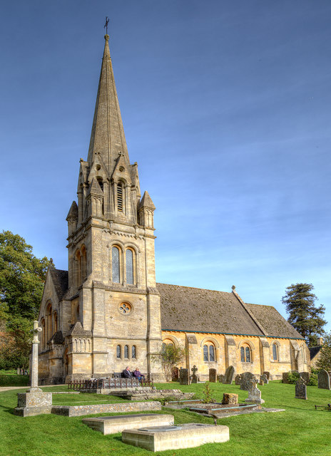
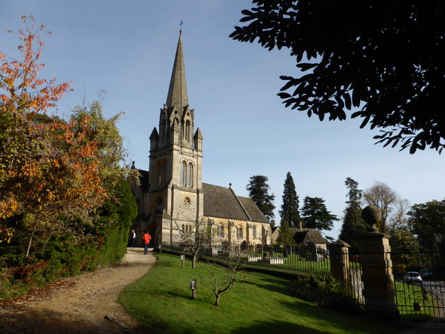
Church of St Lawrence, Bourton-on-the-Hill

The Anglican Church of St Lawrence at Bourton-on-the-Hill in the Cotswold District of Gloucestershire, England was built in the 12th century. It is a grade...

Nearby Amenities

Located within 500m of 52.008461,-1.7297598
Bus Stop
Saw Mill Crossroads
Bus: yes
Naptan AtcoCode: 1600GL325
Naptan Bearing: NE
Naptan CommonName: Saw Mill Crossroads
Naptan NaptanCode: glogjtad
Naptan Street: Aston Magna Road
Naptan Verified: no
Public Transport: platform
Source: naptan_import
Lat/Long: 52.0048548/-1.7267899
Bus Stop
Saw Mill Crossroads
Bus: yes
Naptan AtcoCode: 1600GL326
Naptan Bearing: SW
Naptan CommonName: Saw Mill Crossroads
Naptan NaptanCode: glogjtag
Naptan Street: Aston Magna Road
Naptan Verified: no
Public Transport: platform
Source: naptan_import
Lat/Long: 52.0048365/-1.7266735
Power: pole
Lat/Long: 52.0076481/-1.7304378
Power: pole
Lat/Long: 52.0085224/-1.735196
Power: pole
Lat/Long: 52.00798/-1.7316837
Power: pole
Lat/Long: 52.0072213/-1.7288768
Power: pole
Lat/Long: 52.008453/-1.7334848
Power: pole
Lat/Long: 52.0065766/-1.7249836
Power: pole
Lat/Long: 52.0069307/-1.7270904
Power: pole
Lat/Long: 52.0112489/-1.7296493
Cadley Cottage
Power: pole
Transformer: distribution
Voltage Primary: 11000
Lat/Long: 52.0116163/-1.7315617
Power: pole
Lat/Long: 52.011419/-1.7305371
Power: pole
Lat/Long: 52.0110091/-1.7284121
Power: pole
Lat/Long: 52.0104082/-1.7276906
Power: pole
Lat/Long: 52.0097643/-1.7269523
Power: pole
Lat/Long: 52.0106843/-1.7246953
Power: pole
Lat/Long: 52.0100231/-1.7255147
Power: pole
Lat/Long: 52.0093078/-1.7264126
Power: pole
Lat/Long: 52.0092125/-1.7265326
Power: pole
Lat/Long: 52.008354/-1.7268652
Power: pole
Lat/Long: 52.0074558/-1.7272045
Power: pole
Lat/Long: 52.0070381/-1.7285925
Power: pole
Lat/Long: 52.0066864/-1.7298813
Power: pole
Lat/Long: 52.0063347/-1.731146
Batsford Hill Lodge
Power: pole
Transformer: distribution
Voltage Primary: 11000
Lat/Long: 52.0060045/-1.7323329
Batsford Estate Yard
Location Transition: yes
Power: pole
Transformer: distribution
Voltage Primary: 11000
Lat/Long: 52.0041862/-1.7295823
Power: pole
Lat/Long: 52.0046155/-1.730279
Power: pole
Lat/Long: 52.005122/-1.7311111
Power: pole
Lat/Long: 52.0053416/-1.7319976
Power: pole
Lat/Long: 52.005583/-1.7329846
Power: pole
Lat/Long: 52.0058154/-1.733914
Power: pole
Lat/Long: 52.0061147/-1.7351338
The data included in this document is from www.openstreetmap.org. The data is made available under ODbL.

Have you been to Cadley Clump?

Leave your review of Cadley Clump below (or comments, questions and feedback).