Canon Copse

Wood, Forest in Wiltshire

England

Canon Copse

Hillside stubble field
Hillside stubble field Credit: JThomas

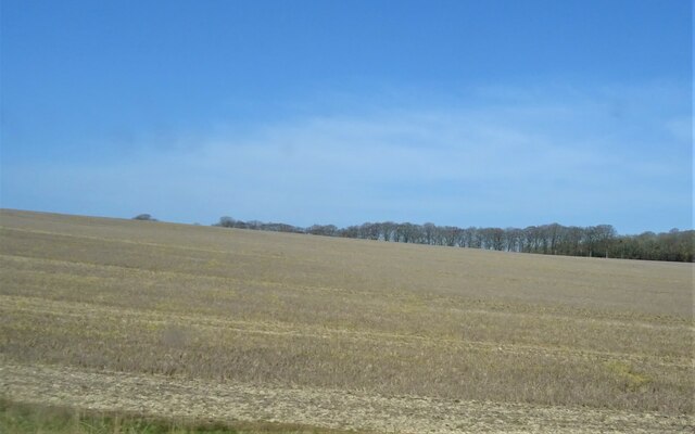
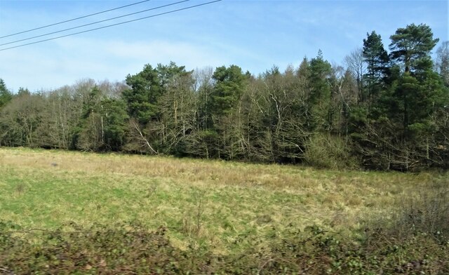
Canon Copse is a picturesque woodland located in Wiltshire, England. Spanning an area of approximately 50 acres, this forest is a haven for nature enthusiasts and a popular destination for outdoor activities. The copse is situated near the village of Canon, which lends its name to the forest.

The woodland is predominantly composed of broadleaf trees, including oak, beech, and ash, creating a diverse and vibrant ecosystem. The dense canopy provides a sheltered habitat for a variety of wildlife, making Canon Copse a haven for birds, small mammals, and insects. Visitors can spot species such as woodpeckers, foxes, and deer amidst the verdant surroundings.

Traversing through Canon Copse, visitors can enjoy a network of well-maintained footpaths and trails that wind through the forest. These paths provide opportunities for leisurely walks, jogging, or cycling, allowing visitors to immerse themselves in the natural beauty of the woodland. The serene atmosphere and tranquil surroundings make it an ideal place for those seeking solace in nature.

Canon Copse also offers a range of recreational activities, such as picnicking and camping. With designated areas for camping, visitors can spend a night under the canopy of trees, experiencing the peaceful ambiance of the forest. The copse is also a popular spot for nature photography, with its vibrant foliage and diverse wildlife serving as perfect subjects for capturing the beauty of the wood.

Overall, Canon Copse in Wiltshire offers a serene and enchanting experience, where visitors can connect with nature, engage in outdoor activities, and appreciate the wonders of this ancient forest.

If you have any feedback on the listing, please let us know in the comments section below.
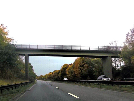
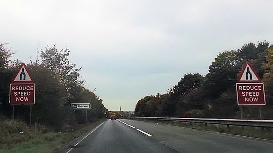
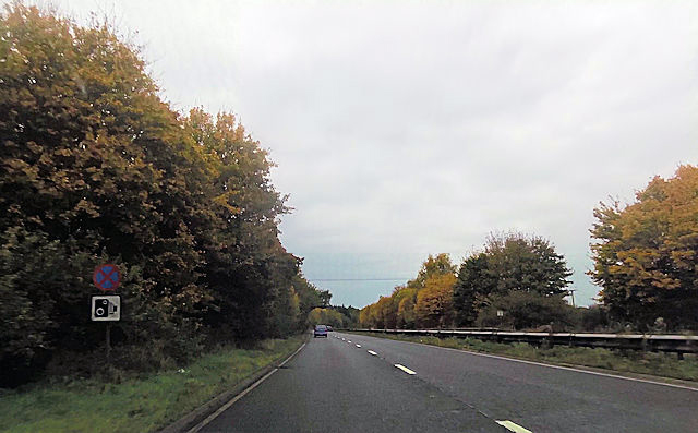
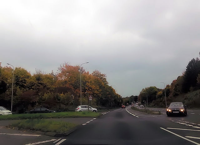
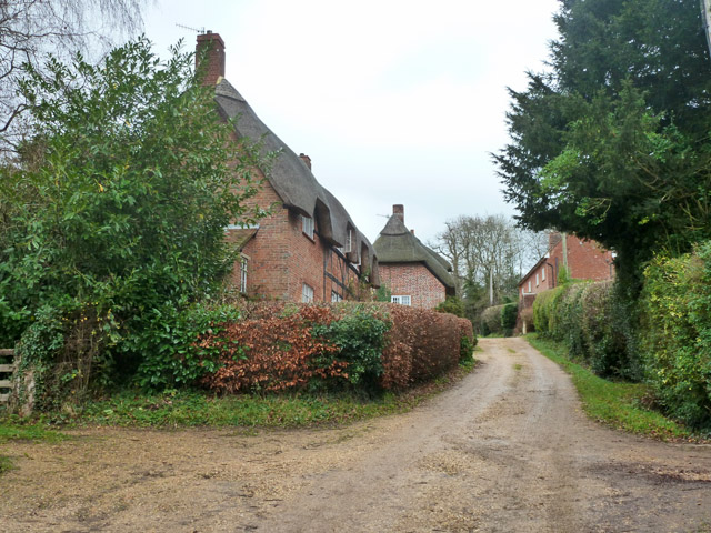
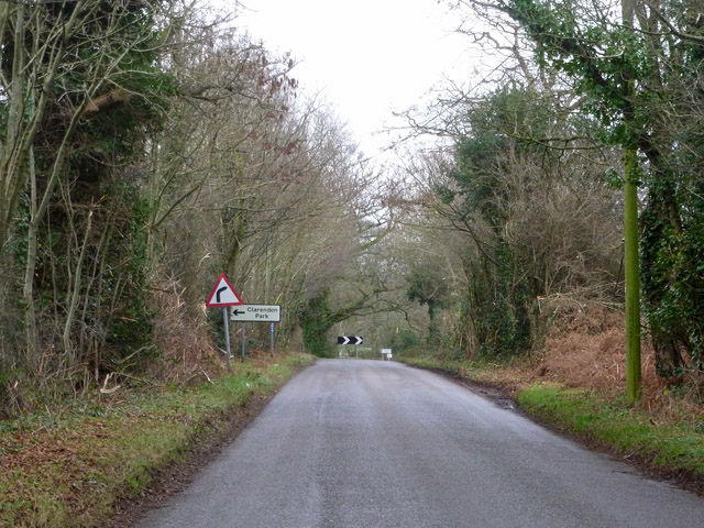
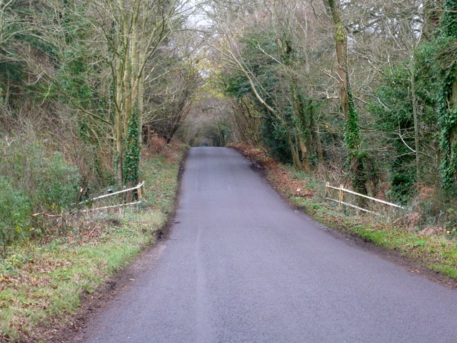
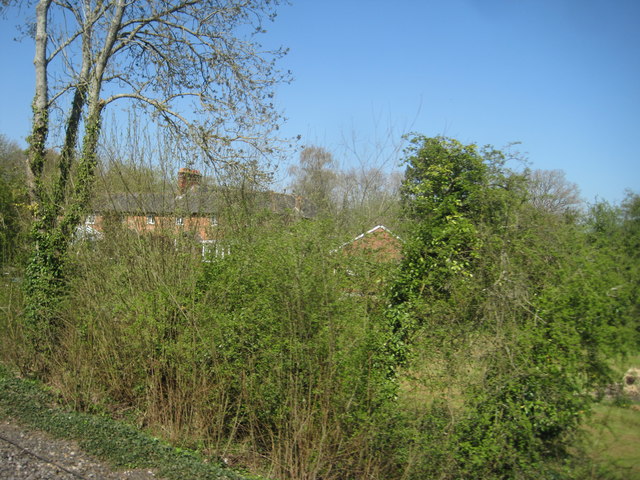
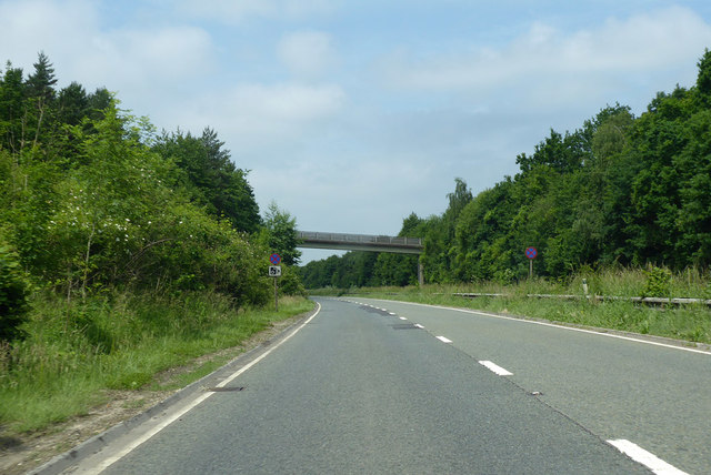
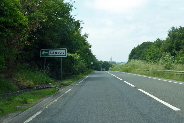
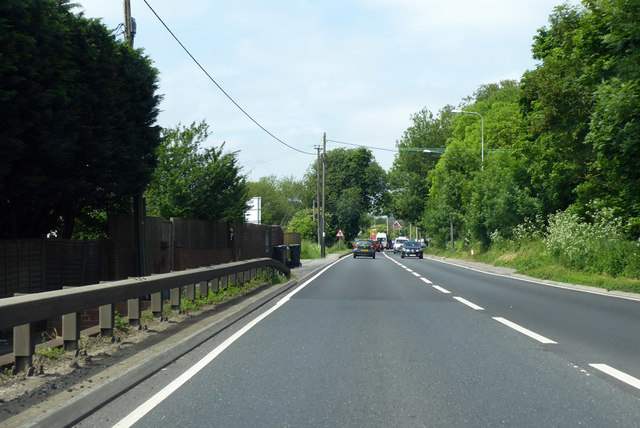
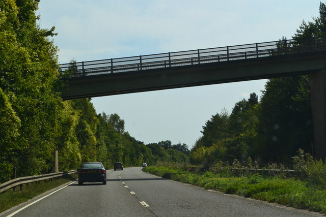
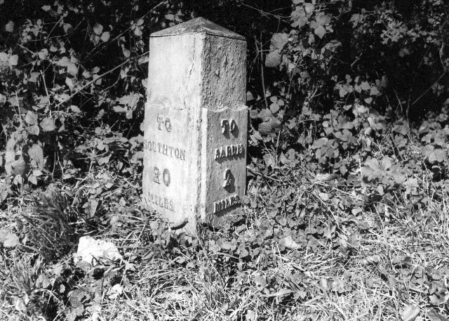
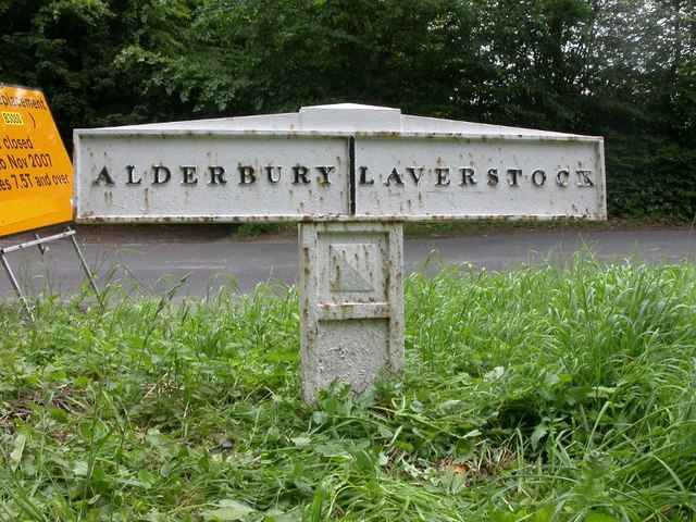
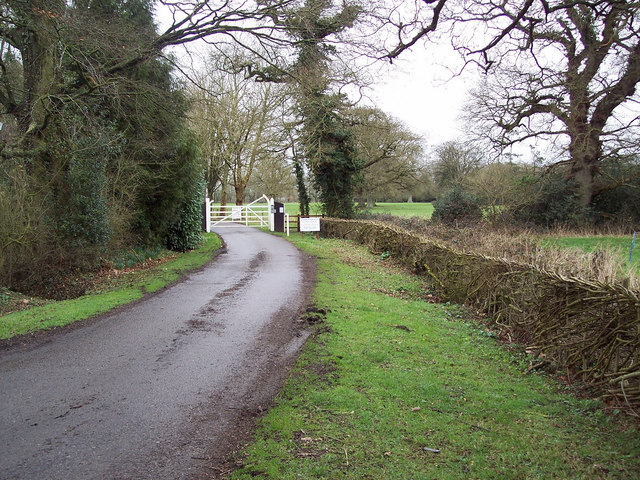
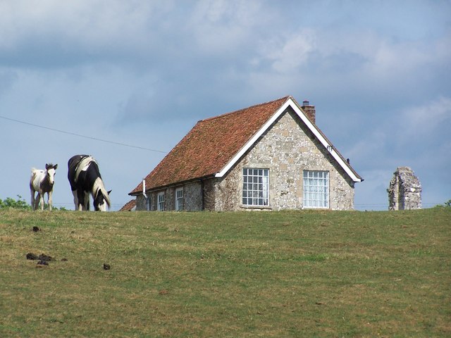
Canon Copse Images

Images are sourced within 2km of 51.061527/-1.7371022 or Grid Reference SU1829. Thanks to Geograph Open Source API. All images are credited.

Hillside stubble field
Common Plantation
Common Plantation
View across the green at Alderbury
Clarendon Place: September 2023
Footbridge over A36 at The Slip
Approaching end of dual carriageway on A36
A36 close to Alderbury Junction
A36 junction with Alderbury road
Silver Street, Alderbury The thatched houses are grade II listed buildings from the 17th and 18th centuries.
Silver Street, Alderbury
The thatched houses are grade II listed buildings from the 17th and 18th centuries.
Clarendon Road, Alderbury A way to Farley and East Grimstead.
Clarendon Road, Alderbury
A way to Farley and East Grimstead.
Small bridge on Clarendon Road The map merely calls the watercourse a 'drain'.
Small bridge on Clarendon Road
The map merely calls the watercourse a 'drain'.
View from a Southampton-Salisbury train - Houses peek through the trees at Alderbury Common
A36 towards Salisbury The bridge is for private farm access.
A36 towards Salisbury
The bridge is for private farm access.
A36 towards Salisbury The remarkably high spire of Salisbury Cathedral is ahead.
A36 towards Salisbury
The remarkably high spire of Salisbury Cathedral is ahead.
A36 entering the environs of Salisbury From here on in the road gets very cluttered up with local traffic visiting big retail premises along the road.
A36 entering the environs of Salisbury
From here on in the road gets very cluttered up with local traffic visiting big retail premises along the road.
Farm access bridge over the A36 near The Slip Not a very scenic spot, but the A36 is the only public access to this grid square.
Farm access bridge over the A36 near The Slip
Not a very scenic spot, but the A36 is the only public access to this grid square.
Old Milestone, (Former A36), Southampton Road, Shute End The milestone is located opposite the junction with Shute End Road, on the verge on the north side of the road. Parish of Alderbury (Salisbury District). Metal post with attached metal plates, Southton plate design, erected by the Sarum & Eling turnpike trust in the 19th century.

Now only fragment remains, see <a href="https://www.geograph.org.uk/photo/2776019">SU1728 : Milepost, Shute End</a>

Grade II listed. List Entry Number: 1181351
<span class="nowrap"><a title="https://historicengland.org.uk/listing/the-list/list-entry/1181351" rel="nofollow ugc noopener" href="https://historicengland.org.uk/listing/the-list/list-entry/1181351">Link</a><img style="margin-left:2px;" alt="External link" title="External link - shift click to open in new window" src="https://s1.geograph.org.uk/img/external.png" width="10" height="10"/></span>

Milestone Society National ID: WI_SASO02b
Old Milestone, (Former A36), Southampton Road, Shute End
The milestone is located opposite the junction with Shute End Road, on the verge on the north side of the road. Parish of Alderbury (Salisbury District). Metal post with attached metal plates, Southton plate design, erected by the Sarum & Eling turnpike trust in the 19th century. Now only fragment remains, see SU1728 : Milepost, Shute End Grade II listed. List Entry Number: 1181351 LinkExternal link Milestone Society National ID: WI_SASO02b
Old Boundary Marker by Southampton Road, Clarendon Park parish Parish Boundary Marker by the UC road, in parish of Clarendon Park (Salisbury District), Southampton Road, 20m East of junction with road to village, on verge, Southwest side of road, 25m East of Milestone: WI_SASO02b <a href="https://www.geograph.org.uk/photo/6038935">SU1728 : Old Milestone, (Former A36), Southampton Road, Shute End</a>

Inscription reads:-
ALDERBURY | LAVERSTOCK

Grade II listed.
List Entry Number: 1183885 <span class="nowrap"><a title="https://historicengland.org.uk/listing/the-list/list-entry/1183885" rel="nofollow ugc noopener" href="https://historicengland.org.uk/listing/the-list/list-entry/1183885">Link</a><img style="margin-left:2px;" alt="External link" title="External link - shift click to open in new window" src="https://s1.geograph.org.uk/img/external.png" width="10" height="10"/></span>

Surveyed

Milestone Society National ID: WI_SASO02pb
Old Boundary Marker by Southampton Road, Clarendon Park parish
Parish Boundary Marker by the UC road, in parish of Clarendon Park (Salisbury District), Southampton Road, 20m East of junction with road to village, on verge, Southwest side of road, 25m East of Milestone: WI_SASO02b SU1728 : Old Milestone, (Former A36), Southampton Road, Shute End Inscription reads:- ALDERBURY | LAVERSTOCK Grade II listed. List Entry Number: 1183885 LinkExternal link Surveyed Milestone Society National ID: WI_SASO02pb
Show me another place!

Canon Copse is located at Grid Ref: SU1829 (Lat: 51.061527, Lng: -1.7371022)

Unitary Authority: Wiltshire

Police Authority: Wiltshire

What 3 Words

///steered.civic.backtrack. Near Alderbury, Wiltshire

Related Wikis

Clarendon Palace

Clarendon Palace is a medieval ruin 2+1⁄4 miles (3.6 km) east of Salisbury in Wiltshire, England. The palace was a royal residence during the Middle Ages...

Clarendon Park, Wiltshire

Clarendon Park is a Grade I listed building, estate and civil parish near Salisbury in Wiltshire, England. At the 2011 census the population of the parish...

Ivychurch Priory

Ivychurch Priory was a medieval monastic house in Alderbury, southeast of Salisbury, Wiltshire, England. According to Historic England, "all that remains...

Alderbury

Alderbury is a village and civil parish in Wiltshire, England, in the south of the county around 3 miles (5 km) southeast of Salisbury. The parish includes...

Nearby Amenities

Located within 500m of 51.061527,-1.7371022
Brickkiln Copse
Place: locality
Lat/Long: 51.059203/-1.738066
Furze Ground Copse
Place: locality
Lat/Long: 51.0607178/-1.733849
Canon Copse
Place: locality
Lat/Long: 51.0618117/-1.7370355
Hendon Copse
Place: locality
Lat/Long: 51.0618252/-1.7439768
Power: pole
Lat/Long: 51.0654216/-1.7340208
Power: pole
Lat/Long: 51.0651324/-1.7352316
Power: pole
Lat/Long: 51.0648516/-1.7364513
Power: pole
Lat/Long: 51.0645737/-1.7377112
Power: pole
Lat/Long: 51.063678/-1.7377782
Power: pole
Lat/Long: 51.0628349/-1.737913
The data included in this document is from www.openstreetmap.org. The data is made available under ODbL.

Have you been to Canon Copse?

Leave your review of Canon Copse below (or comments, questions and feedback).