Machine Pond Copse

Wood, Forest in Wiltshire

England

Machine Pond Copse

Grazing and woodland near Waldon Farm
Grazing and woodland near Waldon Farm Credit: JThomas

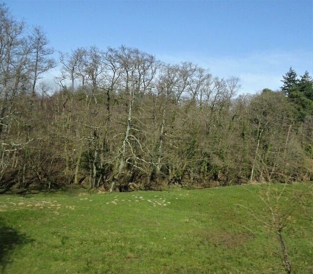
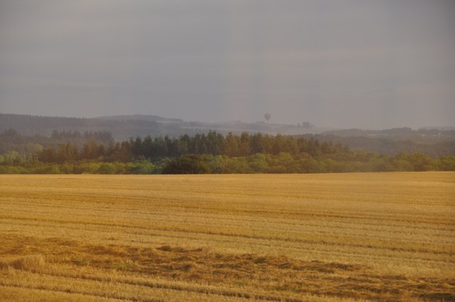
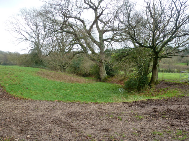
Machine Pond Copse is a picturesque woodland located in Wiltshire, England. Covering an area of approximately 20 acres, the copse is situated near the village of Burbage, just a few miles southwest of Marlborough. The woodland is a popular destination for nature enthusiasts, hikers, and birdwatchers.

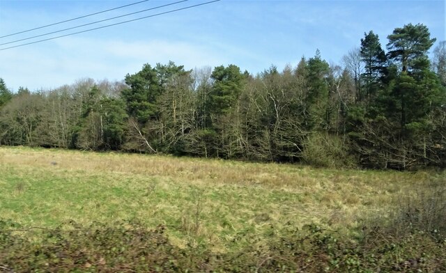
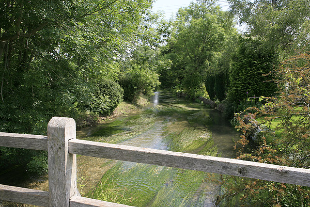
The copse is named after the nearby Machine Pond, a small body of water that was historically used to power machinery. Today, the pond serves as a haven for various species of waterfowl and provides a tranquil backdrop to the woodland. The copse itself is predominantly comprised of broadleaf trees such as oak, beech, and ash, creating a diverse and vibrant ecosystem.

Walking through the copse, visitors are greeted by a carpet of wildflowers and ferns, which thrive in the dappled sunlight that filters through the dense canopy. The woodland floor is also home to a rich variety of flora, including bluebells, primroses, and wood anemones, which burst into color during the spring months.

Machine Pond Copse is teeming with wildlife, providing a habitat for numerous species. Birdwatchers can spot a wide range of avian species, including woodpeckers, warblers, and owls, while small mammals like squirrels and hedgehogs scuttle through the undergrowth. The copse is also home to a diverse insect population, with butterflies, bees, and beetles adding to the buzzing symphony of nature.

Overall, Machine Pond Copse is a peaceful and biodiverse woodland, offering visitors a chance to immerse themselves in the tranquility of nature and observe the rich wildlife that thrives within its boundaries.

If you have any feedback on the listing, please let us know in the comments section below.

Machine Pond Copse Images

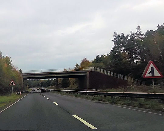
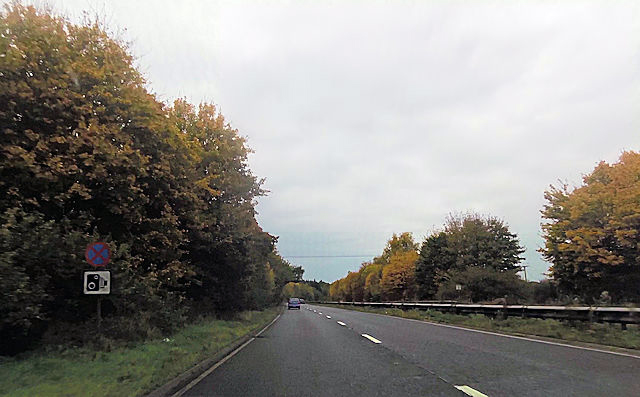
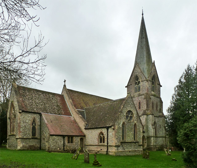
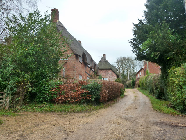
Images are sourced within 2km of 51.035271/-1.7376215 or Grid Reference SU1826. Thanks to Geograph Open Source API. All images are credited.

Grazing and woodland near Waldon Farm
A36 down the hill towards Whaddon
Junction of Grimstead Road and Crockford Road, West Grimstead At this peaceful green at the western end of the village, the signpost indicates West Grimstead / West Dean to the left (towards the photographer) and East Grimstead / Farley to the right. The road ahead to the left leads to the A36 at Whaddon.
Junction of Grimstead Road and Crockford Road, West Grimstead
At this peaceful green at the western end of the village, the signpost indicates West Grimstead / West Dean to the left (towards the photographer) and East Grimstead / Farley to the right. The road ahead to the left leads to the A36 at Whaddon.
Salisbury District : The A36 The A36 road in the former Salisbury District of Wiltshire.
Salisbury District : The A36
The A36 road in the former Salisbury District of Wiltshire.
Salisbury District : A Grassy Field A grassy field in the Salisbury District of Wiltshire as seen from the A36.
Salisbury District : A Grassy Field
A grassy field in the Salisbury District of Wiltshire as seen from the A36.
Common Plantation
Common Plantation
Recreation ground under redevelopment New houses being constructed on the site of <a href="https://www.geograph.org.uk/photo/6851674">SU1927 : Recreation ground at Alderbury</a>.
Recreation ground under redevelopment
New houses being constructed on the site of SU1927 : Recreation ground at Alderbury.
View across the green at Alderbury
Start of dual carriageway on A36
Overbridge over A36 near Whaddon
A36 close to Alderbury Junction
Alderbury church Church of St. Mary the Virgin.
Alderbury church
Church of St. Mary the Virgin.
Silver Street, Alderbury The thatched houses are grade II listed buildings from the 17th and 18th centuries.
Silver Street, Alderbury
The thatched houses are grade II listed buildings from the 17th and 18th centuries.
Remains of old canal? This feature, running at about the 60 m contour, is on the planned line of the Salisbury and Southampton Canal. It is beyond the point where the canal had been opened to by 1803 and which ran from Kimbridge to Alderbury Common. The rest of the canal to Salisbury was never completed as money and enthusiasm ran out after three or four more years of poor trading and the canal became derelict. Whether this part was fully dug seems unlikely. This may only have been a feeder to the lake in the grounds of Alderbury House which is believed more definitely to be on the line of the canal.
Remains of old canal?
This feature, running at about the 60 m contour, is on the planned line of the Salisbury and Southampton Canal. It is beyond the point where the canal had been opened to by 1803 and which ran from Kimbridge to Alderbury Common. The rest of the canal to Salisbury was never completed as money and enthusiasm ran out after three or four more years of poor trading and the canal became derelict. Whether this part was fully dug seems unlikely. This may only have been a feeder to the lake in the grounds of Alderbury House which is believed more definitely to be on the line of the canal.
Alderbury Lodge At one of the entrances to the park of Longford Castle.
Alderbury Lodge
At one of the entrances to the park of Longford Castle.
Clarendon Road, Alderbury A way to Farley and East Grimstead.
Clarendon Road, Alderbury
A way to Farley and East Grimstead.
View from a Southampton-Salisbury train - Houses peek through the trees at Alderbury Common
A36 bypassing Whaddon The bridge carries the Whaddon - West Grimstead road.
A36 bypassing Whaddon
The bridge carries the Whaddon - West Grimstead road.
Show me another place!

Machine Pond Copse is located at Grid Ref: SU1826 (Lat: 51.035271, Lng: -1.7376215)

Unitary Authority: Wiltshire

Police Authority: Wiltshire

What 3 Words

///starfish.flicks.stuffing. Near Alderbury, Wiltshire

Related Wikis

Alderbury

Alderbury is a village and civil parish in Wiltshire, England, in the south of the county around 3 miles (5 km) southeast of Salisbury.The parish includes...

Longford Castle

Longford Castle is a Grade I listed country house on the banks of the River Avon south of Salisbury, Wiltshire, England. It is the seat of the Earl of...

Ivychurch Priory

Ivychurch Priory was a medieval monastic house in Alderbury, southeast of Salisbury, Wiltshire, England. According to Historic England, "all that remains...

River Ebble

The River Ebble is one of the five rivers of the English city of Salisbury. Rising at Alvediston to the west of the city, it joins the River Avon at Bodenham...

Nearby Amenities

Located within 500m of 51.035271,-1.7376215
Barrier: kissing_gate
Lat/Long: 51.038169/-1.7381301
Ford: yes
Lat/Long: 51.0376216/-1.7350664
Barrier: kissing_gate
Lat/Long: 51.0373895/-1.7335146
Ford: yes
Lat/Long: 51.0373661/-1.7334457
Barrier: stile
Lat/Long: 51.0376558/-1.7366356
Rumboll's Row
Place: locality
Lat/Long: 51.0347369/-1.7341898
The data included in this document is from www.openstreetmap.org. The data is made available under ODbL.

Have you been to Machine Pond Copse?

Leave your review of Machine Pond Copse below (or comments, questions and feedback).