Birks Wood

Wood, Forest in Durham

England

Birks Wood

St Paul's Church, Waterhouses
St Paul's Church, Waterhouses Credit: Oliver Dixon

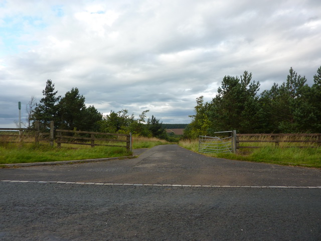
Birks Wood is a picturesque and sprawling forest located in Durham, England. Covering an area of approximately 100 acres, it is a haven for nature enthusiasts and those seeking tranquility amidst the beauty of the countryside. The wood is situated on the outskirts of the city, making it easily accessible to both locals and tourists alike.

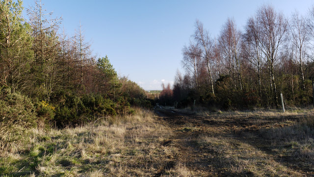
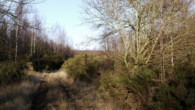
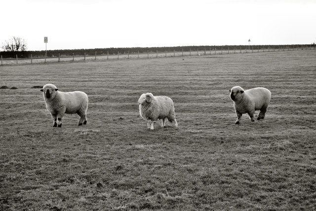
One of the defining features of Birks Wood is its diverse range of plant and animal species. The forest is home to a variety of trees, including oak, beech, and birch, which create a dense canopy overhead, providing shade and shelter for the woodland floor below. Wildflowers such as bluebells, primroses, and foxgloves carpet the forest during the spring, adding vibrant pops of color to the landscape.

The wood is crisscrossed by a network of walking trails, inviting visitors to explore its natural wonders. These paths wind through ancient woodlands, offering glimpses of babbling brooks and small ponds teeming with wildlife. Birdwatchers will find themselves in their element here, as the wood attracts a wide range of avian species, including woodpeckers, owls, and various songbirds.

Birks Wood also boasts a rich history, with evidence of human habitation dating back centuries. Remnants of an old quarry can still be seen, serving as a reminder of the area's industrial past. The wood has been carefully managed by conservationists, ensuring the preservation of its unique ecosystem and allowing future generations to enjoy its natural beauty. Overall, Birks Wood is a true gem of Durham, offering visitors a serene escape into nature.

If you have any feedback on the listing, please let us know in the comments section below.
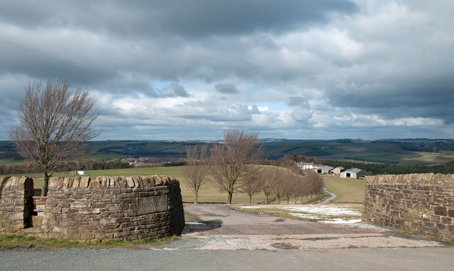
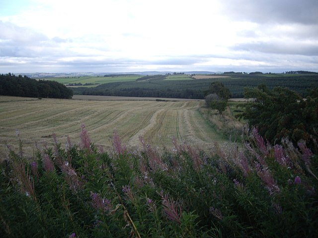
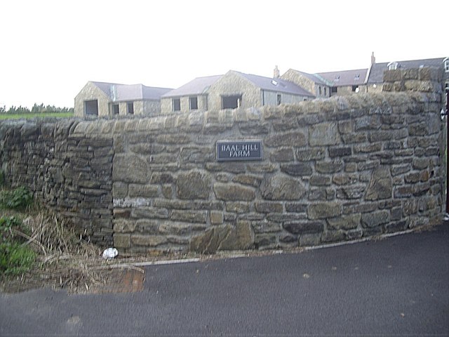
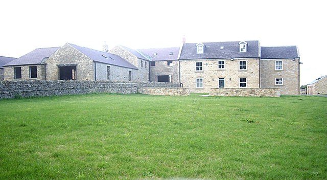
Birks Wood Images

Images are sourced within 2km of 54.741555/-1.7152719 or Grid Reference NZ1838. Thanks to Geograph Open Source API. All images are credited.

St Paul's Church, Waterhouses
Old bridge abutments on the Deerness Valley Path These handsome abutments once supported a foot- or farm-bridge over the now-disused railway.
Old bridge abutments on the Deerness Valley Path
These handsome abutments once supported a foot- or farm-bridge over the now-disused railway.
Reflected tree
Reflected tree
Stockley Lane west of Oakenshaw Farm
Road to Nackshivan Farm
Road off Stockley Lane
Stockley Lane at Tanner's Hall Cottages
Stockley Lane at Tanner's Hall Farm
Access road at junction with the Deerness Valley Walk The Deerness Valley Walk starts at Stanley Crook heading north from the road at the east end of the village. Not far from there this dirt access road leaves the route and carries a footpath which soon leaves it. The road carries traffic to some kind of biking course, possibly for BMX biking.
Access road at junction with the Deerness Valley Walk
The Deerness Valley Walk starts at Stanley Crook heading north from the road at the east end of the village. Not far from there this dirt access road leaves the route and carries a footpath which soon leaves it. The road carries traffic to some kind of biking course, possibly for BMX biking.
Track in woodland east of Stanley Crook A junction of public footpaths lies at the north end of a triangular meeting of forestry roads in this woodland. The view is to the south-east along the north-eastern side of that triangle.
Track in woodland east of Stanley Crook
A junction of public footpaths lies at the north end of a triangular meeting of forestry roads in this woodland. The view is to the south-east along the north-eastern side of that triangle.
Forestry track and footpath east of Stanley Crook A kilometre or so east of the County Durham village of Stanley Crook lies an area mapped as mixed woodland. There are several marked tracks or roads in the woods there that can hardly be called forestry roads - they'd not stand the weight of traffic required for that status. This is one of those tracks which is also the route of a public footpath.
Forestry track and footpath east of Stanley Crook
A kilometre or so east of the County Durham village of Stanley Crook lies an area mapped as mixed woodland. There are several marked tracks or roads in the woods there that can hardly be called forestry roads - they'd not stand the weight of traffic required for that status. This is one of those tracks which is also the route of a public footpath.
Stanley Beck County Durham Stanley Beck runs through a small patch of woodland at Stanley Crook, County Durham. a largely overlooked area and so has a true natural beauty, with very few visitors. A former coal mining area has had an impact on the stream bed and in the woodland around, but this is being reclaimed by nature as time passes.
Stanley Beck County Durham
Stanley Beck runs through a small patch of woodland at Stanley Crook, County Durham. a largely overlooked area and so has a true natural beauty, with very few visitors. A former coal mining area has had an impact on the stream bed and in the woodland around, but this is being reclaimed by nature as time passes.
Birks Wood Stanley  Crook The ruins seen in the photograph are evidence of the extensive mining industry that formerly was the main employment in the area.
Birks Wood Stanley Crook
The ruins seen in the photograph are evidence of the extensive mining industry that formerly was the main employment in the area.
Sheep at Stanley Crook Three Sheep, two different breeds, the ones at the ends are perhaps Ryelands, the central one a cheviot ?. There's probably someone out there who can correct my ignorance. 

As can also be seen the field is covered with narrow ridge & furrow.
Sheep at Stanley Crook
Three Sheep, two different breeds, the ones at the ends are perhaps Ryelands, the central one a cheviot ?. There's probably someone out there who can correct my ignorance. As can also be seen the field is covered with narrow ridge & furrow.
Access road for Standalone Standalone is a farm which lies on a slope descending to the valley of the River Deerness. There's a stile over the wall at the left side of the image which allows walkers to avoid the crossing of cattle a grid; a finger post which is not in quite in view informs that the route is a public byway.
Access road for Standalone
Standalone is a farm which lies on a slope descending to the valley of the River Deerness. There's a stile over the wall at the left side of the image which allows walkers to avoid the crossing of cattle a grid; a finger post which is not in quite in view informs that the route is a public byway.
View south from a minor road on Wooley Hill Looking down on Birks Wood in the upper valley of Stockley Beck.
View south from a minor road on Wooley Hill
Looking down on Birks Wood in the upper valley of Stockley Beck.
Access to Baal Hill farmhouse From a minor road - Sandy Lonnen (ie Sandy Lane).
Access to Baal Hill farmhouse
From a minor road - Sandy Lonnen (ie Sandy Lane).
Baal Hill A renovated farmhouse on Sandy Lonnen.
Baal Hill
A renovated farmhouse on Sandy Lonnen.
Show me another place!

Birks Wood is located at Grid Ref: NZ1838 (Lat: 54.741555, Lng: -1.7152719)

Unitary Authority: County Durham

Police Authority: Durham

What 3 Words

///redouble.proven.encroach. Near Willington, Co. Durham

Nearby Locations

Birks Wood

Related Wikis

Stanley Crook

Stanley Crook is a village in County Durham, in England. It is situated to the north of Crook and Billy Row. The area is rural, surrounded by open farm...

Waterhouses, County Durham

Waterhouses is a village in County Durham, in England. It is situated to the west of Durham, near Esh Winning, on the northern Bank of the River Deerness...

Esh Winning F.C.

Esh Winning Football Club is a football club based in Esh Winning, near Durham, in County Durham, England. They are currently members of the Northern League...

Oakenshaw, County Durham

Oakenshaw is a village in County Durham, in England. It is situated to the north of Willington. In the 2001 census Oakenshaw had a population of 470.The...

Billy Row

Billy Row is a village in County Durham, England. It is situated a short distance to the north of Crook. According to the 2001 census Billy Row has a population...

Waterhouses railway station (Durham)

Waterhouses railway station, on the Deerness Valley Railway, south of the village of Esh Winning in County Durham, England, was opened on 1 November 1877...

Helmington Row

Helmington Row is a small village in County Durham, England. It is situated between Crook and Willington, about 7 miles south-west of Durham and 3 miles...

Roddymoor

Roddymoor is a village in County Durham, in England. In the 2001 census Roddymoor had a population of 500. == Location == It is situated to the north of...

Have you been to Birks Wood?

Leave your review of Birks Wood below (or comments, questions and feedback).