Hill Coppice
Wood, Forest in Gloucestershire Cotswold
England
Hill Coppice
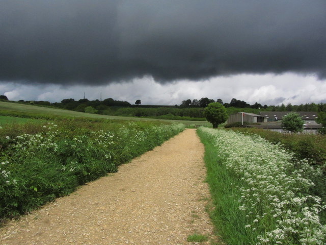
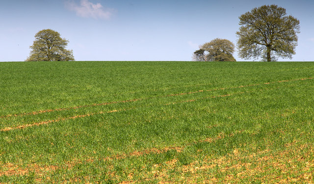
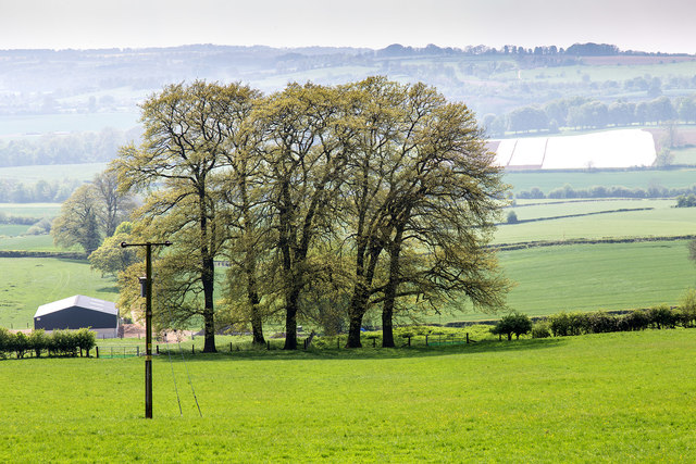
Hill Coppice is a picturesque woodland located in the county of Gloucestershire, England. Situated in the heart of the Cotswolds, this enchanting forest covers an area of approximately 100 hectares, boasting a diverse range of flora and fauna.
The woodland is predominantly composed of deciduous trees, including oak, beech, and ash, which create a lush canopy overhead. This rich vegetation provides a haven for a variety of wildlife, such as deer, badgers, and numerous species of birds. The forest floor is adorned with a carpet of bluebells during the spring, creating a breathtaking spectacle for visitors.
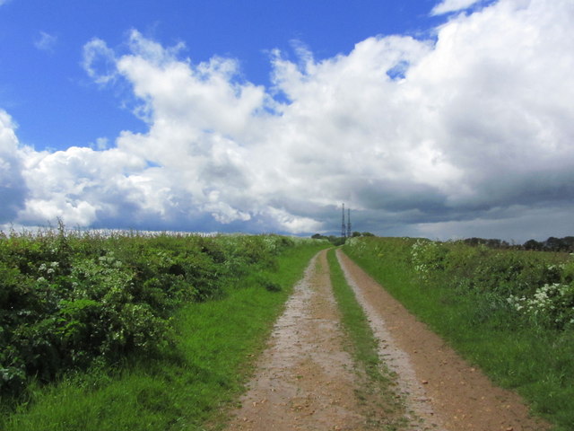
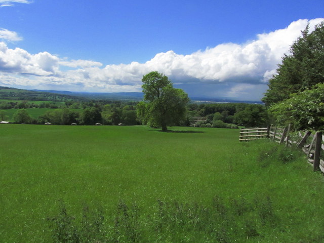
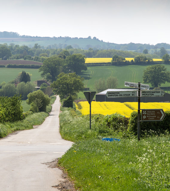
Hill Coppice offers visitors an opportunity to immerse themselves in nature and indulge in outdoor activities. There are several well-maintained walking trails, allowing visitors to explore the woodlands at their own pace. The trails meander through ancient trees, tranquil streams, and open clearings, offering stunning views of the surrounding countryside.
For those seeking a more adventurous experience, Hill Coppice also provides opportunities for mountain biking and horse riding. The undulating terrain and well-marked tracks make it a popular destination for outdoor enthusiasts.
The forest is managed by the local forestry commission, ensuring the preservation of its natural beauty and the conservation of its wildlife. Hill Coppice is easily accessible, with ample parking facilities and nearby public transportation options.
Overall, Hill Coppice is a hidden gem in Gloucestershire, offering visitors a serene and captivating woodland experience. Whether it's a leisurely stroll, an adrenaline-fueled bike ride, or simply a moment of tranquility in nature, this forest has something to offer for everyone.
If you have any feedback on the listing, please let us know in the comments section below.
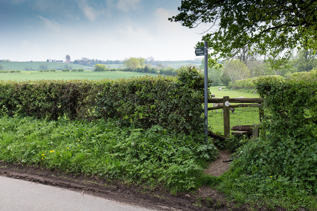
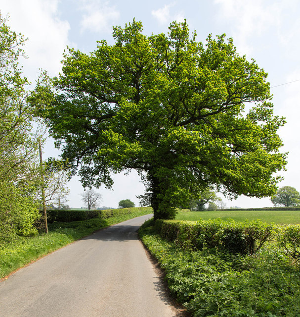
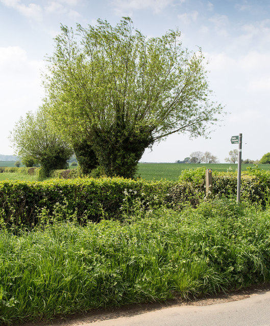
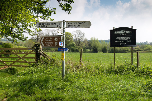
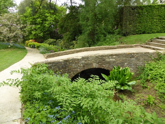
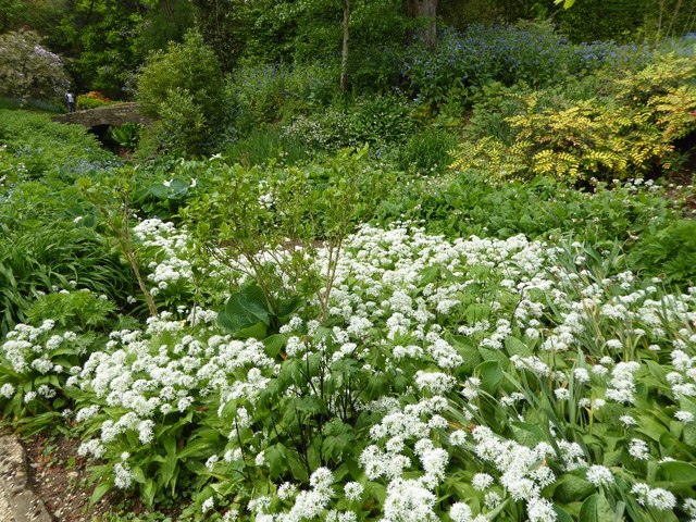
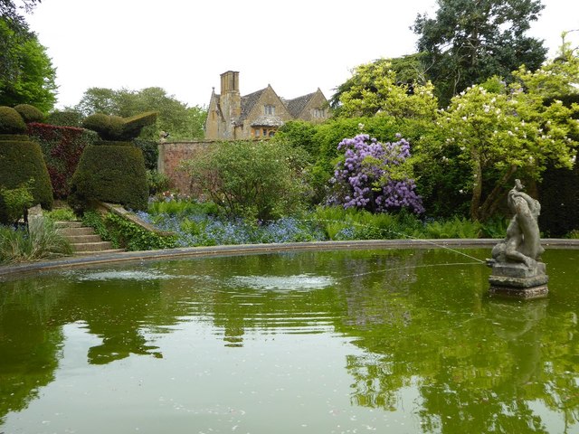
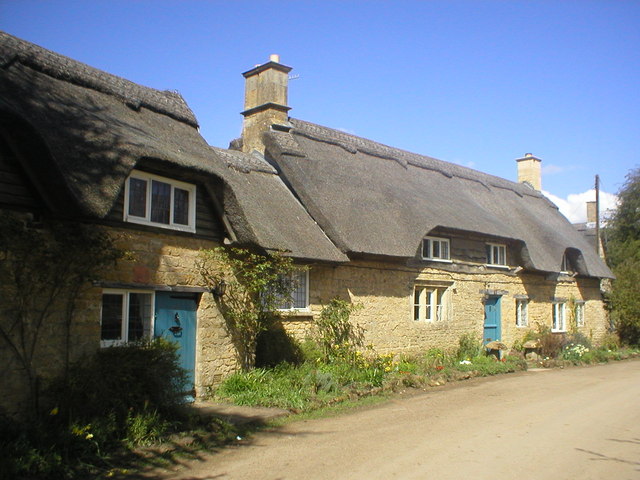
Hill Coppice Images
Images are sourced within 2km of 52.086148/-1.733042 or Grid Reference SP1843. Thanks to Geograph Open Source API. All images are credited.


Hill Coppice is located at Grid Ref: SP1843 (Lat: 52.086148, Lng: -1.733042)
Administrative County: Gloucestershire
District: Cotswold
Police Authority: Gloucestershire
What 3 Words
///earpiece.diverts.allow. Near Mickleton, Gloucestershire
Nearby Locations
Related Wikis
Hidcote Bartrim
Hidcote Bartrim is a hamlet and former civil parish, now in the parish of Ebrington, in the Cotswold district of Gloucestershire, England. The nearest...
Touch FM (Stratford-upon-Avon)
102 Touch FM was an Independent Local Radio station broadcasting to the town of Stratford-upon-Avon and much of the counties of Warwickshire, Worcestershire...

Ebrington Hill
Ebrington Hill is a hill in Warwickshire, England, which at 261 m (856 ft) is the highest in the county. It is situated between the villages of Ebrington...

Hidcote Manor Garden
Hidcote Manor Garden is a garden in the United Kingdom, located at the village of Hidcote Bartrim, near Chipping Campden, Gloucestershire. It is one of...
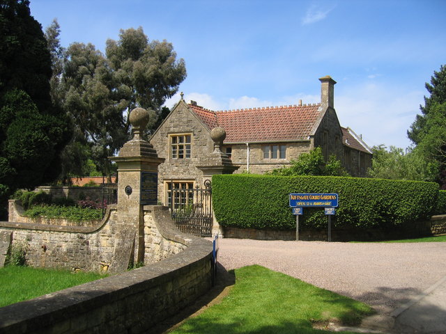
Kiftsgate Court Gardens
Kiftsgate Court Gardens is situated above the village of Mickleton in the county of Gloucestershire, England, in the far north of the county close to the...

Ilmington Downs
The Ilmington Downs are a large open area situated in Warwickshire, just above the small village of Ilmington. It is the highest point in Warwickshire...
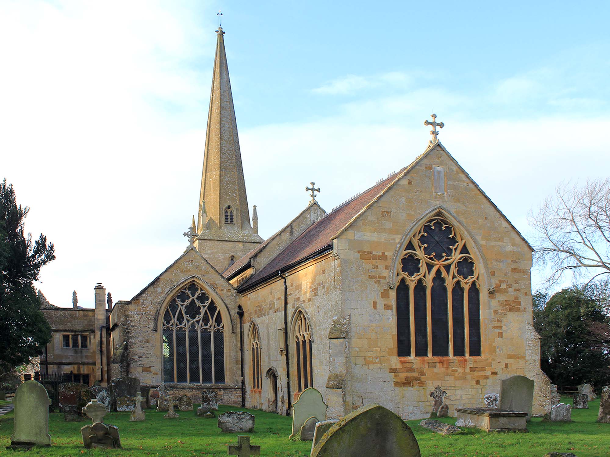
Church of St Lawrence, Mickleton
The Anglican Church of St Lawrence at Mickleton in the Cotswold District of Gloucestershire, England was built in the 12th century. It is a grade I listed...

Mickleton, Gloucestershire
Mickleton is a village and civil parish in the Cotswold District of Gloucestershire, England. The village is the northernmost settlement in Gloucestershire...
Nearby Amenities
Located within 500m of 52.086148,-1.733042Have you been to Hill Coppice?
Leave your review of Hill Coppice below (or comments, questions and feedback).