Foxcover Wood
Wood, Forest in Durham
England
Foxcover Wood

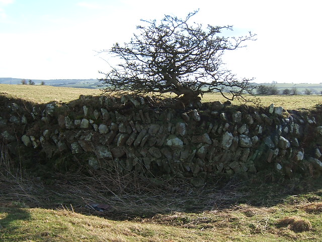
Foxcover Wood is a charming woodland located in Durham, England. Covering an area of approximately 15 hectares, it is a designated local nature reserve, making it a popular destination for nature enthusiasts and locals alike. The wood is situated on the outskirts of Durham city, easily accessible for visitors.
The wood is predominantly made up of mature broadleaf trees, including oak, ash, and sycamore, creating a rich and diverse habitat for various flora and fauna. The woodland floor is covered with a carpet of bluebells in the spring, adding to its natural beauty. Foxcover Wood is also home to a variety of bird species, such as woodpeckers, chiffchaffs, and nuthatches, making it a great spot for birdwatching.
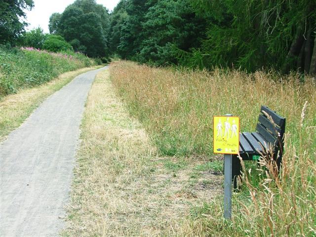
The wood offers several walking trails for visitors to explore, ranging from short strolls to longer hikes. These paths wind through the trees, providing a peaceful and tranquil environment for walkers. Along the trails, there are benches and picnic areas where visitors can take a break and enjoy the surroundings.
Foxcover Wood is managed by the Durham Wildlife Trust, who work to protect and enhance the woodland's biodiversity. They organize regular events and activities, such as guided walks and educational programs, to engage the local community and raise awareness about the importance of conservation.
Overall, Foxcover Wood is a picturesque and ecologically significant woodland, offering a delightful escape into nature for those seeking tranquility and natural beauty in Durham.
If you have any feedback on the listing, please let us know in the comments section below.
Foxcover Wood Images
Images are sourced within 2km of 54.819226/-1.7153955 or Grid Reference NZ1847. Thanks to Geograph Open Source API. All images are credited.


Foxcover Wood is located at Grid Ref: NZ1847 (Lat: 54.819226, Lng: -1.7153955)
Unitary Authority: County Durham
Police Authority: Durham
What 3 Words
///remainder.trailers.scanty. Near Lanchester, Co. Durham
Nearby Locations
Related Wikis
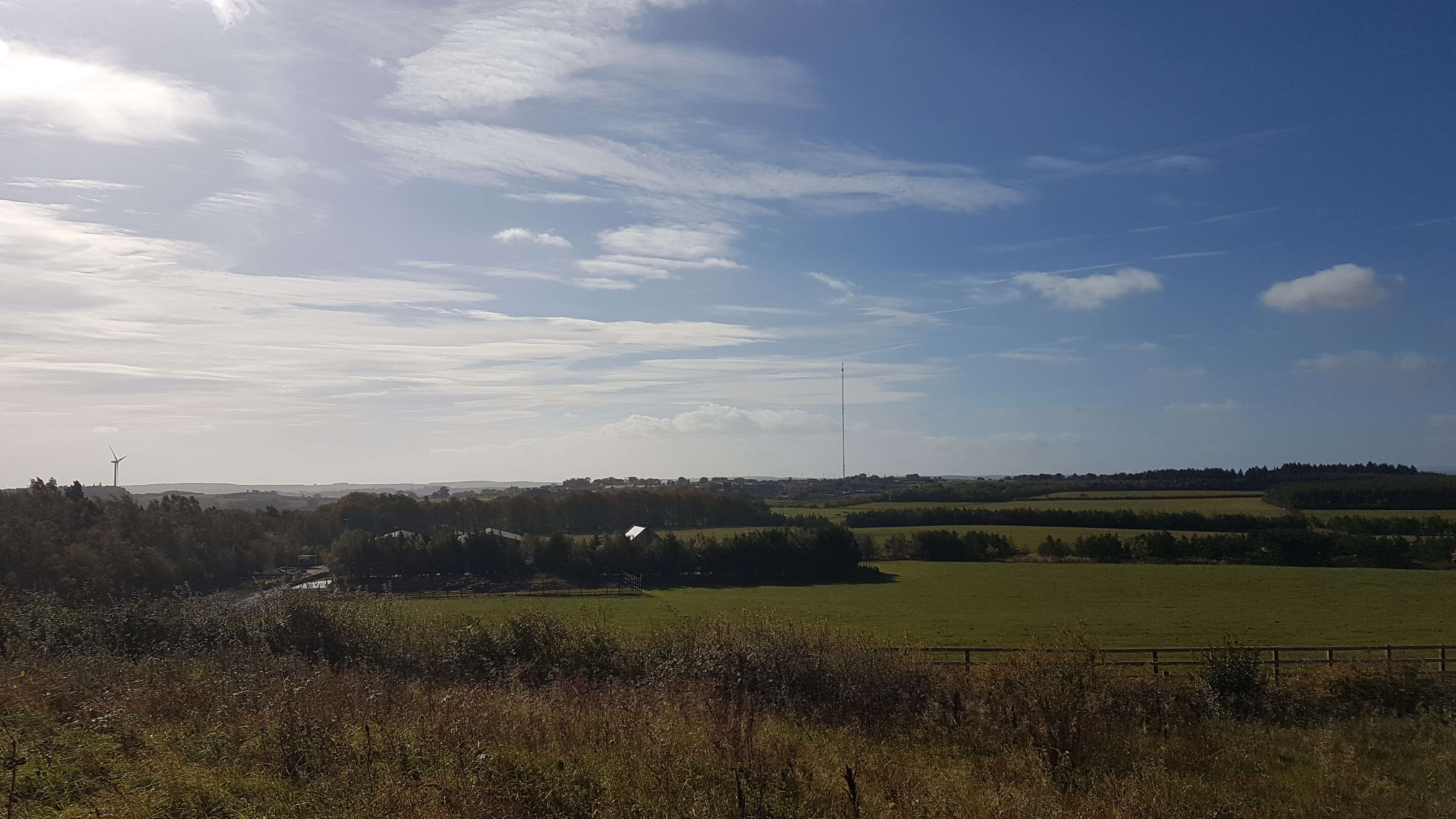
Burnhope transmitting station
The Burnhope transmitting station is a television transmitter in the north of England. == History == === Construction === It was originally built by BICC...
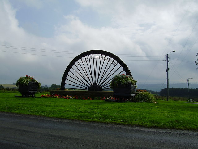
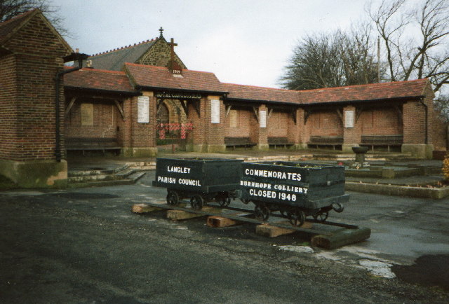
Burnhope
Burnhope is a village and civil parish in County Durham, England. It is located in the Craghead valley on the opposite side to Stanley and has 1,564 inhabitants...

Lanchester, County Durham
Lanchester is a village and civil parish in County Durham, England, 8 miles (13 km) west of Durham and 5 miles (8 km) from Consett. It had a population...

Lanchester railway station
Lanchester railway station served the village of Lanchester, County Durham, England from 1862 to 1965 on the Lanchester Valley Line. == History == The...

Ornsby Hill
Ornsby Hill is a village in County Durham, in England. Ornsby Hill is situated immediately to the north of Lanchester at the junction of the A691 and A6076...
St Bede's Catholic School and Sixth Form College
St Bede's Catholic School and Sixth Form College is a coeducational secondary school and sixth form with academy status, located in Lanchester, County...
Longovicium
Longovicium (or Lanchester Roman Fort) was an auxiliary fort located on Roman Dere Street, in the Roman province of Britannia Inferior. It is located just...
Maiden Law
Maiden Law is a small village in County Durham, England. It is situated to the north of Lanchester, on the road to Annfield Plain. == References ==
Nearby Amenities
Located within 500m of 54.819226,-1.7153955Have you been to Foxcover Wood?
Leave your review of Foxcover Wood below (or comments, questions and feedback).