Knowle's Wood

Wood, Forest in Warwickshire Stratford-on-Avon

England

Knowle's Wood

Langley Church
Langley Church Credit: AJD

Knowle's Wood is a picturesque woodland located in the county of Warwickshire, England. Covering an area of approximately 50 acres, this forest is known for its natural beauty and diverse flora and fauna. It is situated near the village of Knowle, just a short distance away from the bustling town of Solihull.

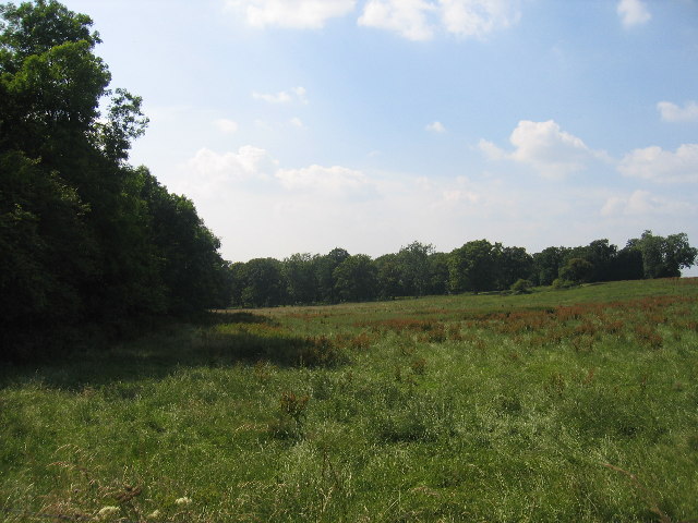
The wood is predominantly made up of deciduous trees, including oak, ash, and beech, which create a stunning canopy that provides shade and shelter for the woodland floor. Bluebells carpet the forest floor in spring, creating a vibrant display of color. The wood is also home to a variety of wildlife, including squirrels, badgers, and a wide range of bird species, making it a popular spot for nature enthusiasts and birdwatchers.

There are several walking trails that wind through the wood, allowing visitors to explore its natural wonders. These paths are well-maintained and suitable for all ages and abilities. The peaceful atmosphere and tranquil surroundings make Knowle's Wood a perfect place for a leisurely stroll or a family picnic.

The wood is managed by the local council, who ensure the preservation of its natural beauty and protect its biodiversity. This includes regular maintenance of the trails and monitoring of the wildlife population.

Knowle's Wood is not only a haven for nature lovers but also serves as an important green space for the local community. It provides a peaceful escape from the urban environment and offers a chance to reconnect with nature.

If you have any feedback on the listing, please let us know in the comments section below.

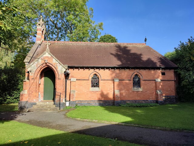
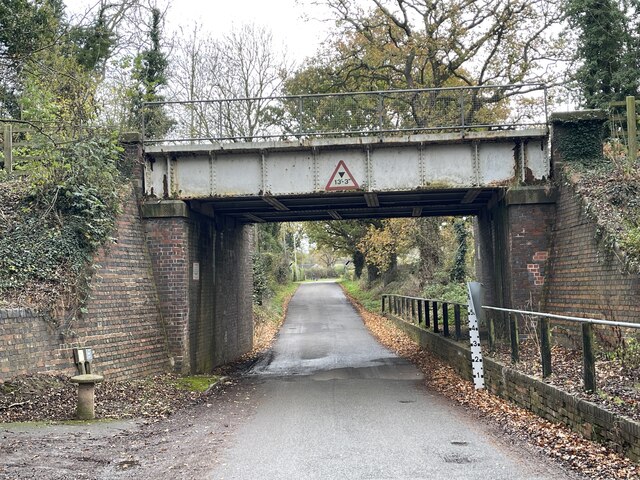
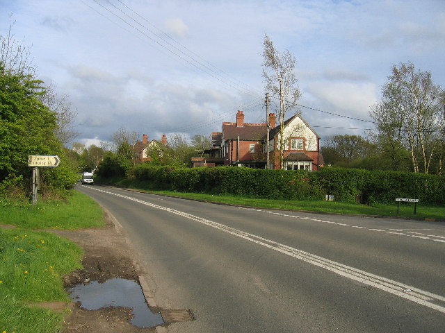
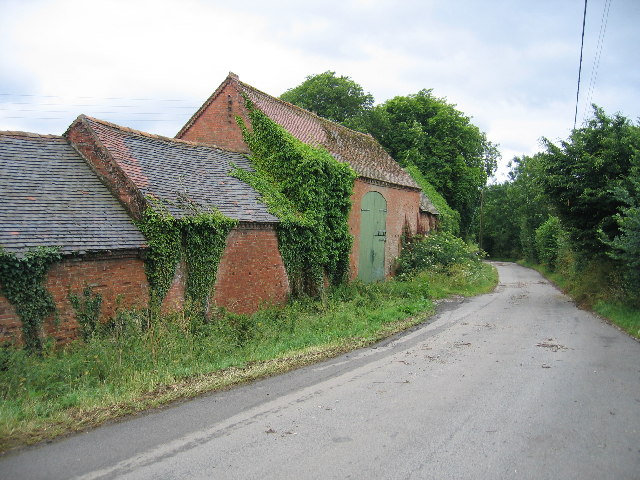
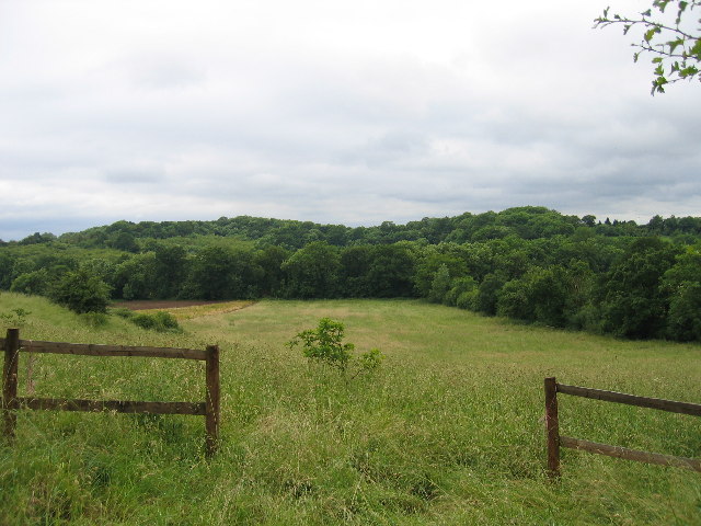
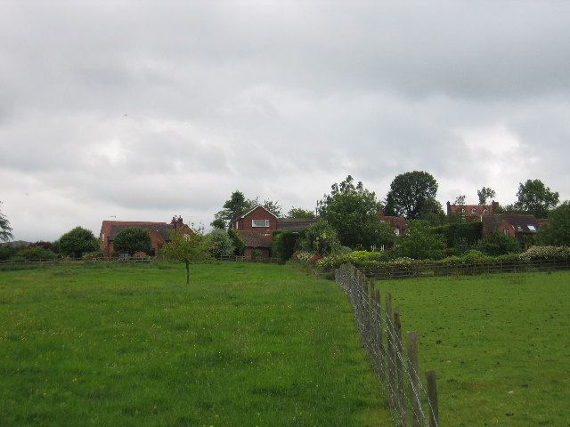
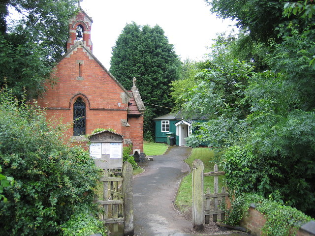
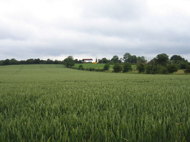
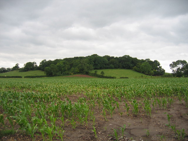
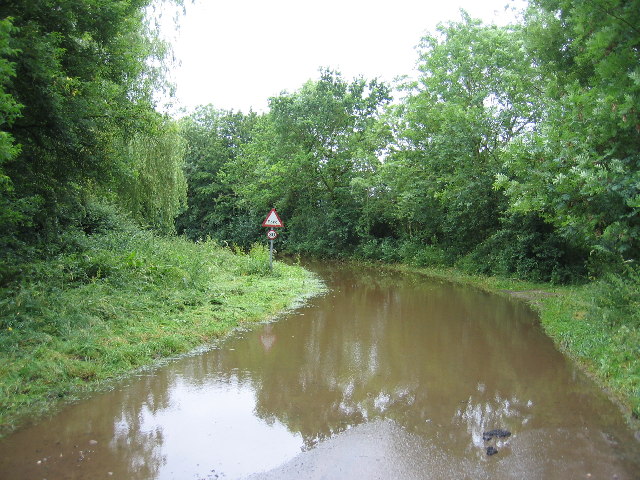
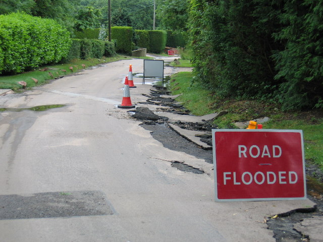
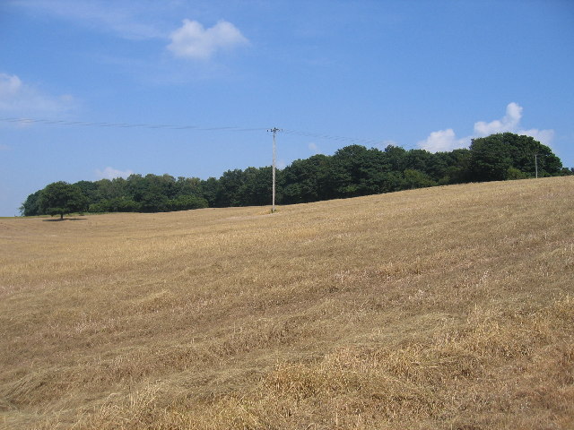
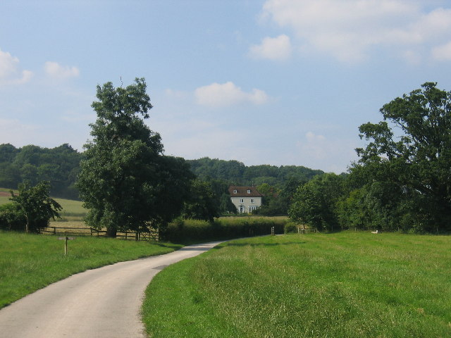
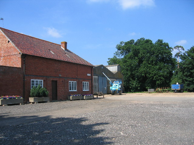
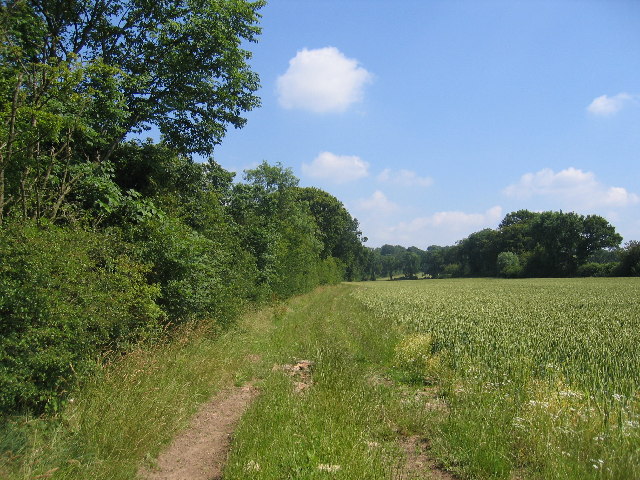
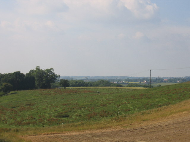
Knowle's Wood Images

Images are sourced within 2km of 52.266227/-1.733311 or Grid Reference SP1863. Thanks to Geograph Open Source API. All images are credited.

Langley Church
Langley Church
Langley Green Ford This is a second ford at Langley Green on the road beneath the railway bridge. An image of the adjacent ford a few metres down the road can be viewed at:
<a title="https://www.geograph.org.uk/photo/2980388" href="https://www.geograph.org.uk/photo/2980388">Link</a>
Langley Green Ford
This is a second ford at Langley Green on the road beneath the railway bridge. An image of the adjacent ford a few metres down the road can be viewed at: Link
Barnmoor Green The Henley in Arden road and the junction with the lane to Kington Grange
Barnmoor Green
The Henley in Arden road and the junction with the lane to Kington Grange
Barns of Kington Grange The actual Grange is hidden away behind high walls and all that can be seen from Kington Lane are these sturdy old farm buildings.
Barns of Kington Grange
The actual Grange is hidden away behind high walls and all that can be seen from Kington Lane are these sturdy old farm buildings.
Tattle Bank Looking westwards across the square to the woods on Tattle Bank from Langley Road near Claverdon.
Tattle Bank
Looking westwards across the square to the woods on Tattle Bank from Langley Road near Claverdon.
Langley Cottages and Yew Tree Farm seen from the public footpath runs across the fields north westerly from the main village
Langley
Cottages and Yew Tree Farm seen from the public footpath runs across the fields north westerly from the main village
Langley The small Church of St Mary in the middle of the village and the church hall.
Langley
The small Church of St Mary in the middle of the village and the church hall.
Langley A view northwards from the public footpath which provides access to this uninhabited square. The barns on the skyline belong to Hill Farm on the edge of the next square to the north.
Langley
A view northwards from the public footpath which provides access to this uninhabited square. The barns on the skyline belong to Hill Farm on the edge of the next square to the north.
Barnmoor Wood This wooded hill, seen from the public footpath between Cherry Pool Farm and the Stratford upon Avon Canal near Kington Grange. The hill is the site of an ancient hill fortification.
Barnmoor Wood
This wooded hill, seen from the public footpath between Cherry Pool Farm and the Stratford upon Avon Canal near Kington Grange. The hill is the site of an ancient hill fortification.
Langley Ford The road from Langley to Langley green crosses the stream with a ford.  The night before this picture was taken there was a torrential downpour in the area and the ford, actually out of sight around the bend, had flooded and become impassable.
Langley Ford
The road from Langley to Langley green crosses the stream with a ford. The night before this picture was taken there was a torrential downpour in the area and the ford, actually out of sight around the bend, had flooded and become impassable.
Langley The torrential rain the night before resulted in flash flooding which ripped up some of the road surface. Further on the lane is blocked by the flooded ford.
Langley
The torrential rain the night before resulted in flash flooding which ripped up some of the road surface. Further on the lane is blocked by the flooded ford.
Ashen Coppice Seen from the Monarch's Way footpath as it crosses the SW corner of the square.
Ashen Coppice
Seen from the Monarch's Way footpath as it crosses the SW corner of the square.
Cutler's Farm Set in lovely rolling countryside, seen from the bridleway/farm drive.
Cutler's Farm
Set in lovely rolling countryside, seen from the bridleway/farm drive.
Edstone Hall Lake A view from the bridge parapet on the extreme north east corner of the square
Edstone Hall Lake
A view from the bridge parapet on the extreme north east corner of the square
New House Farm Beside the Bearley - Norton Lindsey - Warwick Road
New House Farm
Beside the Bearley - Norton Lindsey - Warwick Road
Monarch's Way The footpath as it heads SSE beside the hedge.
Monarch's Way
The footpath as it heads SSE beside the hedge.
Thistly Wood and Eggwell Wood The trees in the middle distance are Eggwell Wood.  The buildings in the distance are on Pettiford Lane, and beyond that lies Henley-in-Arden.
Thistly Wood and Eggwell Wood
The trees in the middle distance are Eggwell Wood. The buildings in the distance are on Pettiford Lane, and beyond that lies Henley-in-Arden.
Austy Wood and Thistly Wood The northern edge of Austy Wood is on the left, and the Monarch's Way footpath runs along its edge. The trees in the distance form Thistly Wood
Austy Wood and Thistly Wood
The northern edge of Austy Wood is on the left, and the Monarch's Way footpath runs along its edge. The trees in the distance form Thistly Wood
Show me another place!

Knowle's Wood is located at Grid Ref: SP1863 (Lat: 52.266227, Lng: -1.733311)

Administrative County: Warwickshire

District: Stratford-on-Avon

Police Authority: Warwickshire

What 3 Words

///composers.whispers.boast. Near Henley in Arden, Warwickshire

Related Wikis

Langley, Warwickshire

Langley is a village and civil parish in the Stratford-on-Avon district of Warwickshire, England. The village is about 6 miles (10 km) west from the county...

Barnmoor Green

Barnmoor Green is a village in Warwickshire, England. For populations details see Claverdon.

Claverdon

Claverdon is a village and civil parish in the Stratford-on-Avon district of Warwickshire, England, about 5 miles (8.0 km) west of the county town of Warwick...

Wolverton, Warwickshire

Wolverton is a village in the Stratford-on-Avon District of Warwickshire, England. The population at the 2011 census was 212. == Heritage == Roman artefacts...

Nearby Amenities

Located within 500m of 52.266227,-1.733311
Power: pole
Source: Warwicks CC Aerial Imagery 2013
Lat/Long: 52.2636038/-1.7382719
Power: pole
Source: Warwicks CC Aerial Imagery 2013
Lat/Long: 52.2644443/-1.7395245
The data included in this document is from www.openstreetmap.org. The data is made available under ODbL.

Have you been to Knowle's Wood?

Leave your review of Knowle's Wood below (or comments, questions and feedback).