Waterhouses Wood

Wood, Forest in Durham

England

Waterhouses Wood

The appropriately named Standalone Farm, above Esh Winning
The appropriately named Standalone Farm, above Esh Winning Credit: Oliver Dixon

Waterhouses Wood is a picturesque woodland located in County Durham, England. Situated near the village of Waterhouses, it covers an area of approximately 50 hectares (123 acres). The wood is part of the larger Durham Wildlife Trust, which aims to protect and conserve the natural habitats of the region.

The woodland is characterized by a diverse range of trees, including oak, birch, beech, and rowan. The dense canopy of the trees creates a shaded and tranquil environment, making it a popular destination for nature enthusiasts and hikers. The forest floor is covered in a lush carpet of mosses, ferns, and wildflowers, providing a rich habitat for a variety of wildlife.

Waterhouses Wood is home to numerous species of birds, such as woodpeckers, nuthatches, and tits, which can be spotted flitting between the trees. Squirrels are also a common sight, scampering along the branches and collecting nuts. In the spring, the wood comes alive with the vibrant songs of birds and the sweet scent of blooming flowers.

The woodland offers several well-maintained walking trails, allowing visitors to explore its natural beauty at their own pace. These trails wind through the forest, offering glimpses of hidden ponds, babbling brooks, and ancient trees. The peaceful atmosphere and the gentle rustling of leaves make it an ideal place for a leisurely stroll or a family picnic.

Waterhouses Wood is not only a haven for wildlife but also an important site for conservation and education. It provides valuable opportunities for individuals to learn about the local ecosystem and the importance of preserving natural habitats.

If you have any feedback on the listing, please let us know in the comments section below.

Waterhouses Wood Images

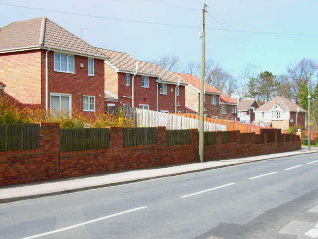
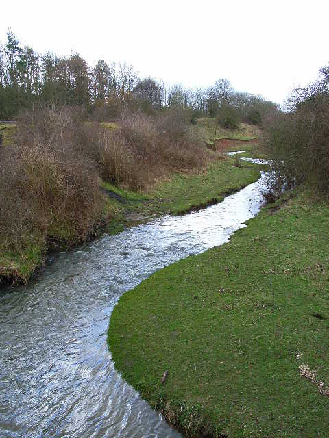
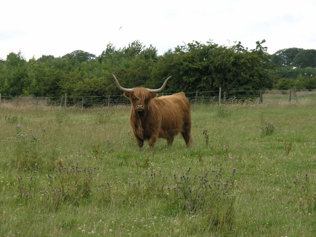
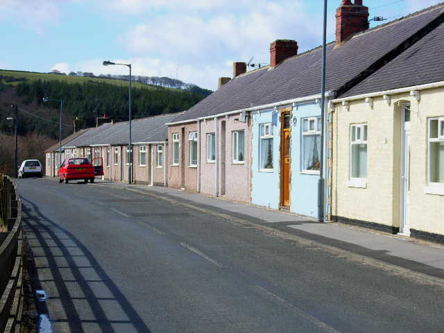
Images are sourced within 2km of 54.758431/-1.7186032 or Grid Reference NZ1840. Thanks to Geograph Open Source API. All images are credited.

The appropriately named Standalone Farm, above Esh Winning
Upper Deerness valley Stanley Wood in the background
Upper Deerness valley
Stanley Wood in the background
Terraced cottages at Waterhouses, near Esh Winning
Deerness Valley Path at Waterhouses Looking west. One of the many disused railways in County Durham which has been converted into an attractive path for walkers and cyclists
Deerness Valley Path at Waterhouses
Looking west. One of the many disused railways in County Durham which has been converted into an attractive path for walkers and cyclists
St Paul's Church, Waterhouses
Esh Winning Primary School
New housing at Esh Winning On the B6302 in the north-west of the village. Characteristic of the growing gentrification of the old coal mining villages in County Durham
New housing at Esh Winning
On the B6302 in the north-west of the village. Characteristic of the growing gentrification of the old coal mining villages in County Durham
The River Deerness at Esh Winning Looking upstream
The River Deerness at Esh Winning
Looking upstream
Coronation Homes, Esh Winning Completed in 1911, these "homes" were presumably built for retired coal miners
Coronation Homes, Esh Winning
Completed in 1911, these "homes" were presumably built for retired coal miners
Fair View, Esh Winning
Old bridge abutments on the Deerness Valley Path These handsome abutments once supported a foot- or farm-bridge over the now-disused railway.
Old bridge abutments on the Deerness Valley Path
These handsome abutments once supported a foot- or farm-bridge over the now-disused railway.
Jubilee memorial, Waterhouses One of a number of attractive memorials (in a variety of designs) to mark the Golden Jubilee of Queen Elizabeth II sited in and around Waterhouses.
Jubilee memorial, Waterhouses
One of a number of attractive memorials (in a variety of designs) to mark the Golden Jubilee of Queen Elizabeth II sited in and around Waterhouses.
Old Iversley Farm.
Old Iversley Farm.
Fork in the road. Old Iversley Farm
Track to Esh Winning.
Equestrian Centre. Iversley Farm.
Horned Beast. Old Iversley Farm.
Taking Notice. Old Iversley Farm.
Show me another place!

Waterhouses Wood is located at Grid Ref: NZ1840 (Lat: 54.758431, Lng: -1.7186032)

Unitary Authority: County Durham

Police Authority: Durham

What 3 Words

///refer.pots.finds. Near Willington, Co. Durham

Related Wikis

Waterhouses, County Durham

Waterhouses is a village in County Durham, in England. It is situated to the west of Durham, near Esh Winning, on the northern Bank of the River Deerness...

Esh Winning F.C.

Esh Winning Football Club is a football club based in Esh Winning, near Durham, in County Durham, England. They are currently members of the Northern League...

Waterhouses railway station (Durham)

Waterhouses railway station, on the Deerness Valley Railway, south of the village of Esh Winning in County Durham, England, was opened on 1 November 1877...

Esh Winning

Esh Winning is a village, and location of a former colliery, in County Durham, England. It is situated in the Deerness Valley 5 miles (8 km) to the west...

Nearby Amenities

Located within 500m of 54.758431,-1.7186032
Bus Stop
Old Co-op. Store
Naptan AtcoCode: 13005080C
Naptan Bearing: E
Naptan CommonName: Old Co-op. Store
Naptan Indicator: east bound
Naptan Landmark: opposite No 38
Naptan NaptanCode: durdgtam
Naptan Street: Russell Street
Naptan Verified: no
Source: naptan_import
Lat/Long: 54.7614144/-1.7171298
Bus Stop
Old Co-op. Store
Naptan AtcoCode: 13005080G
Naptan Bearing: W
Naptan CommonName: Old Co-op. Store
Naptan Indicator: west bound
Naptan Landmark: Landmark not known
Naptan NaptanCode: durdgtap
Naptan Notes: On Russell Street- south-east of number 43- Waterhouses- SW of Esh Winning
Naptan Street: Russell Street
Naptan Verified: no
Source: naptan_import
Lat/Long: 54.7611114/-1.7182509
Bus Stop
Church
Naptan AtcoCode: 13005081C
Naptan Bearing: E
Naptan CommonName: Church
Naptan Indicator: east bound
Naptan Landmark: adj entrance to church
Naptan NaptanCode: durdgtat
Naptan Street: Russell Street
Naptan Verified: no
Source: naptan_import
Lat/Long: 54.7610434/-1.7199142
Bus Stop
Church
Naptan AtcoCode: 13005081G
Naptan Bearing: W
Naptan CommonName: Church
Naptan Indicator: west bound
Naptan Landmark: opp entrance to church
Naptan NaptanCode: durdgtaw
Naptan Notes: On Russell Street- 100m west of western half of Station Street- Waterhouses- SW of Esh Winning
Naptan Street: Russell Street
Naptan Verified: no
Source: naptan_import
Lat/Long: 54.7609713/-1.7198059
Bus Stop
Terrace
Naptan AtcoCode: 13005082B
Naptan Bearing: NE
Naptan CommonName: Terrace
Naptan Indicator: north east bound
Naptan Landmark: Landmark not known
Naptan NaptanCode: durdgtda
Naptan Notes: 1m from eastern edge of lane between number 36 and 39- Waterhouses- SW of Esh Winning
Naptan Street: Unclassified Road
Naptan Verified: no
Source: naptan_import
Lat/Long: 54.7602193/-1.725017
Bus Stop
Terrace
Naptan AtcoCode: 13005082F
Naptan Bearing: SW
Naptan CommonName: Terrace
Naptan Indicator: south west bound
Naptan Landmark: Landmark not known
Naptan NaptanCode: durdgtdg
Naptan Notes: Opposite number 44 Hamilton Row- Waterhouses- SW of Esh Winning
Naptan Street: Unclassified Road
Naptan Verified: no
Source: naptan_import
Lat/Long: 54.7603257/-1.7243947
Post Box
Ref: DH7 85
Lat/Long: 54.7625343/-1.7166419
Turning Circle
Lat/Long: 54.7618879/-1.721725
Power: pole
Lat/Long: 54.7612768/-1.723723
Access: no
Barrier: swing_gate
Image: https://www.geograph.org.uk/photo/146425
Lat/Long: 54.7625526/-1.7167772
Barrier: entrance
Lat/Long: 54.7625905/-1.7167216
Barrier: cycle_barrier
Image: https://www.geograph.org.uk/photo/3372096
Lat/Long: 54.7626278/-1.7163482
The data included in this document is from www.openstreetmap.org. The data is made available under ODbL.

Have you been to Waterhouses Wood?

Leave your review of Waterhouses Wood below (or comments, questions and feedback).