Bridge Wood
Wood, Forest in Gloucestershire Cotswold
England
Bridge Wood

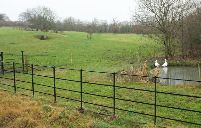
Bridge Wood is a picturesque woodland located in the county of Gloucestershire, England. Situated in the heart of the Forest of Dean, it covers a vast area of approximately 500 acres. The woodland is known for its rich biodiversity, scenic beauty, and historical significance.
The wood is predominantly composed of broadleaf trees, including oak, beech, and ash, which provide a dense canopy and create a tranquil and peaceful atmosphere. Walking through Bridge Wood, visitors can enjoy the sight of vibrant wildflowers carpeting the forest floor during spring and summer months.
The woodland is crisscrossed by a network of well-maintained footpaths and trails, making it a popular destination for outdoor enthusiasts. Hiking, cycling, and horse riding are common activities enjoyed by locals and tourists alike. The trails offer stunning views of the surrounding countryside, with glimpses of the River Severn and the nearby Cotswold Hills.
Bridge Wood has a rich history that dates back centuries. In the past, it was an important source of timber for shipbuilding and charcoal production. Today, remnants of these industries can still be seen in the form of old sawpits and charcoal platforms scattered throughout the wood.
The woodland is also home to a diverse range of wildlife, including deer, badgers, foxes, and numerous bird species. It serves as an important habitat for rare and protected species such as the lesser spotted woodpecker and the dormouse.
Overall, Bridge Wood offers visitors a chance to immerse themselves in the natural beauty of the Forest of Dean, with its stunning landscapes, diverse flora and fauna, and fascinating historical heritage.
If you have any feedback on the listing, please let us know in the comments section below.
Bridge Wood Images
Images are sourced within 2km of 51.852797/-1.7391566 or Grid Reference SP1817. Thanks to Geograph Open Source API. All images are credited.


Bridge Wood is located at Grid Ref: SP1817 (Lat: 51.852797, Lng: -1.7391566)
Administrative County: Gloucestershire
District: Cotswold
Police Authority: Gloucestershire
What 3 Words
///bathtubs.caves.parkway. Near Bourton on the Water, Gloucestershire
Nearby Locations
Related Wikis

Great Rissington
Great Rissington is a village in the Cotswold district of Gloucestershire, England. The population taken at the 2011 census was 367. == History == In the...

River Dikler
The River Dikler is a short river in the Cotswold District of Gloucestershire which flows for 12 kilometres (7.5 mi) through Upper Swell and to the west...

Clapton, Gloucestershire
Clapton, also known as Clapton-on-the-Hill, is a small village and civil parish in the district of Cotswold, in the county of Gloucestershire, England...

Sherborne, Gloucestershire
Sherborne is a village and civil parish almost 3.5 miles (5.6 km) east of Northleach in Gloucestershire. Sherborne is a linear village, extending more...

Sherborne House, Gloucestershire
Sherborne House is a large house in the village of Sherborne, Gloucestershire, England. It is a former country house that has been converted into flats...

RAF Little Rissington
Royal Air Force Little Rissington or more simply RAF Little Rissington (ICAO: EGVL) is an Royal Air Force satellite station in Gloucestershire, England...
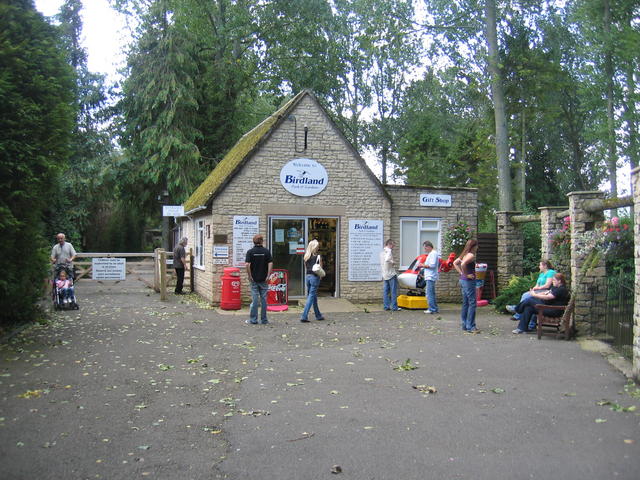
Birdland Park and Gardens
Birdland Park and Gardens, often called Birdland, is a wildlife park in Bourton-on-the-Water, Gloucestershire, England. First opened in 1957, the park...
Bourton Rovers F.C.
Bourton Rovers Football Club is a football club based in Bourton-on-the-Water, Gloucestershire, England. Affiliated to the Gloucestershire County Football...
Have you been to Bridge Wood?
Leave your review of Bridge Wood below (or comments, questions and feedback).