Bushey Wood
Wood, Forest in Derbyshire Derbyshire Dales
England
Bushey Wood

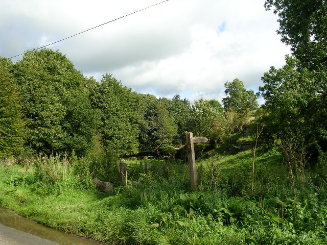
Bushey Wood is a picturesque forest located in Derbyshire, England. Covering an area of approximately 500 acres, it is nestled in the heart of the Peak District National Park, renowned for its breathtaking natural beauty. The wood is primarily composed of mature broadleaf trees such as oak, beech, and birch, creating a dense and lush canopy that provides a sanctuary for a wide variety of flora and fauna.
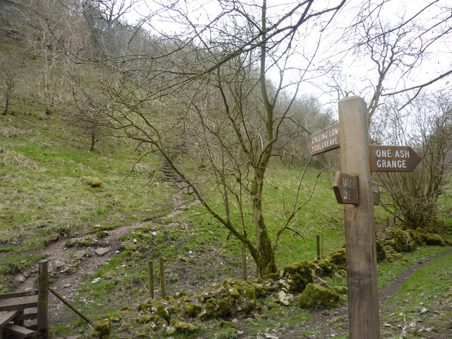
The wood is crisscrossed by a network of well-maintained footpaths and trails, making it a popular destination for hikers, nature lovers, and wildlife enthusiasts. As visitors stroll through the woodland, they can enjoy the tranquil ambiance and the soothing sounds of birds chirping and leaves rustling in the wind. The forest floor is carpeted with a diverse array of wildflowers, adding bursts of color to the surroundings.
Bushey Wood is home to a rich ecosystem, housing numerous species of mammals, birds, and insects. Wildlife enthusiasts may be lucky enough to spot deer, badgers, foxes, and various species of birds, including woodpeckers and owls. The wood also provides habitat for smaller creatures like squirrels, rabbits, and hedgehogs.
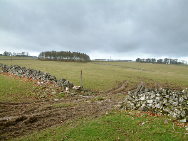
In addition to its natural beauty, the wood has historical significance. It is believed that the area was once part of a medieval hunting forest, and remnants of ancient boundary walls can still be seen in certain parts of the wood. The wood has also been managed sustainably over the years, ensuring its preservation for future generations to enjoy.
Overall, Bushey Wood in Derbyshire offers a peaceful and enchanting retreat where visitors can immerse themselves in nature, explore its trails, and appreciate the beauty and diversity of the natural world.
If you have any feedback on the listing, please let us know in the comments section below.
Bushey Wood Images
Images are sourced within 2km of 53.165626/-1.7316335 or Grid Reference SK1863. Thanks to Geograph Open Source API. All images are credited.


Bushey Wood is located at Grid Ref: SK1863 (Lat: 53.165626, Lng: -1.7316335)
Administrative County: Derbyshire
District: Derbyshire Dales
Police Authority: Derbyshire
What 3 Words
///polka.tonsils.pumps. Near Youlgreave, Derbyshire
Nearby Locations
Related Wikis

Middleton and Smerrill
Middleton and Smerrill is a civil parish within the Derbyshire Dales district, in the county of Derbyshire, England. Largely rural except for the village...

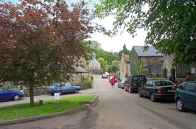
Middleton-by-Youlgreave
Middleton, often known as Middleton-by-Youlgreave or Middleton-by-Youlgrave to distinguish it from nearby Middleton-by-Wirksworth, is a village in the...

Limey Way
The Limey Way is a 65-kilometre (40 mi) challenge walk through Derbyshire, England. It starts at Castleton and progresses through 15 major and 5 minor...

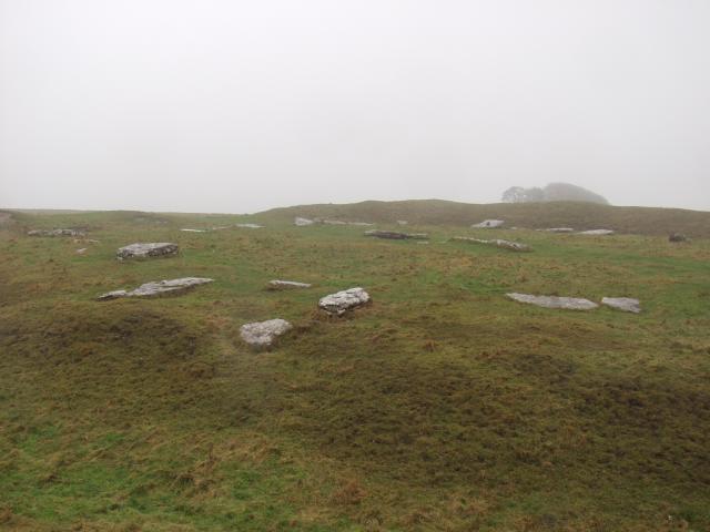
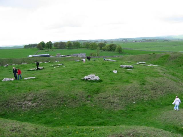
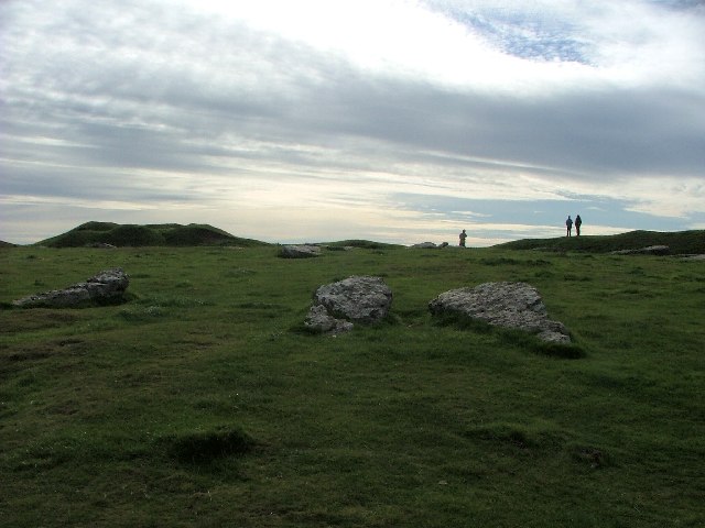
Arbor Low
Arbor Low is a well-preserved Neolithic henge in the Derbyshire Peak District, England. It lies on a Carboniferous Limestone plateau known as the White...
Cales Dale
Cales Dale is a short valley towards the head of Lathkill Dale near Monyash, Derbyshire in the Peak District of England. Cales Dale is included within...

Gib Hill
Gib Hill is a large burial mound in the Peak District, Derbyshire, England. It is thought to be a Neolithic oval barrow with an Early Bronze Age round...
Friden Goods Yard
Friden Goods Yard was a goods station located on the Cromford and High Peak Railway near the villages of Friden in Derbyshire. Mostly for moving mineral...

Friden, Derbyshire
Friden is a hamlet in the civil parish of Hartington Nether Quarter, Derbyshire, England. It is 11 miles (18 km) south-east of Buxton, just off the Newhaven...
Nearby Amenities
Located within 500m of 53.165626,-1.7316335Have you been to Bushey Wood?
Leave your review of Bushey Wood below (or comments, questions and feedback).