Black Firs
Wood, Forest in Staffordshire East Staffordshire
England
Black Firs

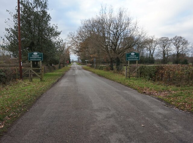
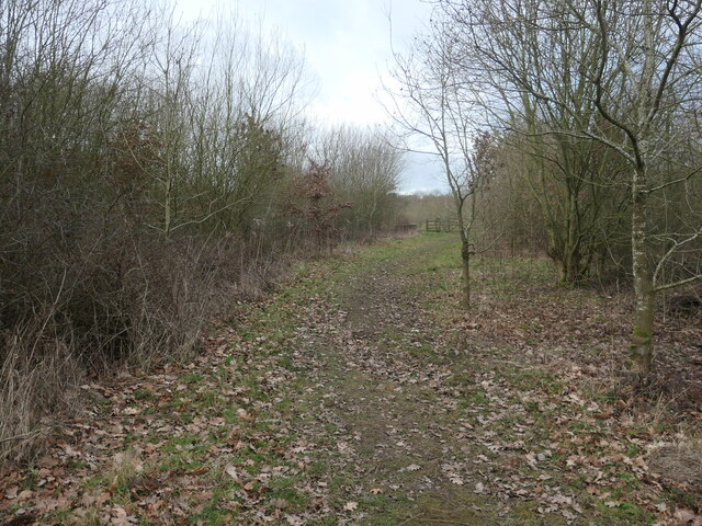
Black Firs is a charming woodland located in Staffordshire, England. Spread over a vast area, this forested area provides an idyllic and serene escape from the bustling city life. Nestled amidst the Staffordshire Moorlands, it offers a picturesque setting with its dense foliage, towering trees, and a diverse range of flora and fauna.
The forest is predominantly composed of coniferous trees such as firs and pines, which lend a distinctive dark hue to the landscape, giving rise to the name "Black Firs." These trees, interspersed with patches of deciduous trees, create a unique blend of foliage throughout the year, providing a kaleidoscope of colors during the autumn months.
Black Firs is a haven for nature enthusiasts and outdoor adventurers. The forest boasts a network of well-maintained trails that cater to walkers, hikers, and cyclists of all skill levels. These trails wind through the woodlands, offering mesmerizing views of the surrounding countryside and opportunities to observe the local wildlife.
The forest is home to a diverse range of animal species, including deer, foxes, rabbits, and a variety of bird species. Birdwatchers can spot woodland birds such as great tits, woodpeckers, and thrushes, among others. The tranquil atmosphere of Black Firs also makes it an ideal spot for nature photography and meditation.
Black Firs is equipped with convenient facilities, including parking areas and picnic spots, making it a popular destination for day trips and family outings. It provides a peaceful retreat where visitors can immerse themselves in the beauty of nature, away from the noise and distractions of everyday life.
If you have any feedback on the listing, please let us know in the comments section below.
Black Firs Images
Images are sourced within 2km of 52.781893/-1.7353024 or Grid Reference SK1720. Thanks to Geograph Open Source API. All images are credited.


Black Firs is located at Grid Ref: SK1720 (Lat: 52.781893, Lng: -1.7353024)
Administrative County: Staffordshire
District: East Staffordshire
Police Authority: Staffordshire
What 3 Words
///thrillers.bashful.finishes. Near Barton under Needwood, Staffordshire
Nearby Locations
Related Wikis
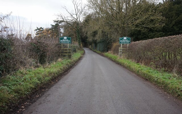
Dunstall
Dunstall is a small village and civil parish in the borough of East Staffordshire, Staffordshire, England. It lies between Burton upon Trent and Barton...
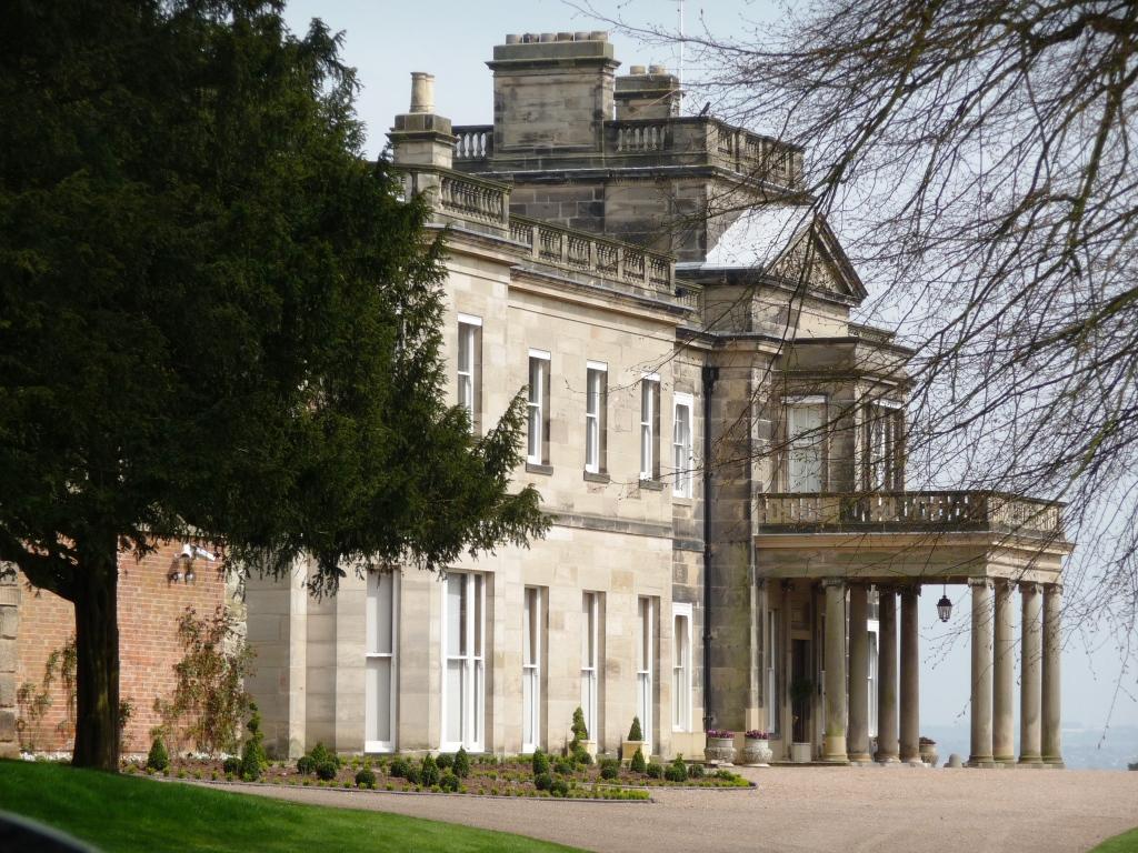
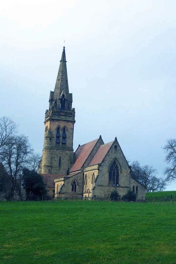
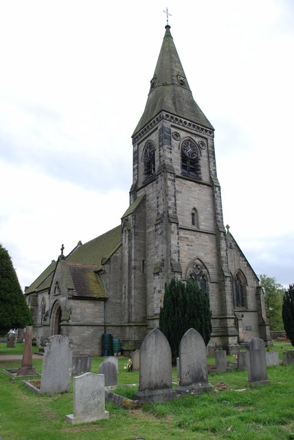
Dunstall Hall
Dunstall Hall is a privately owned 18th century mansion house near Tatenhill, Burton upon Trent, Staffordshire. It is a Grade II* listed building. �...
Deer Park, Dunstall
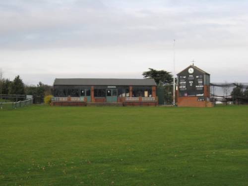
Deer Park is a cricket ground within the grounds of Dunstall Hall, Dunstall, Staffordshire. The first recorded match on the ground was in 1997, when the...

Brankley Pastures
Brankley Pastures is a nature reserve of the Staffordshire Wildlife Trust. It is about 2.5 miles (4.0 km) miles north-west of Barton-under-Needwood, in...
Rangemore
Rangemore is a village in the borough of East Staffordshire, situated approximately 4 miles (6 km) west of the town of Burton upon Trent, on a ridge of...
John Taylor High School
John Taylor High School is a specialist science and leadership academy located in the East Staffordshire village of Barton-under-Needwood, near Burton...
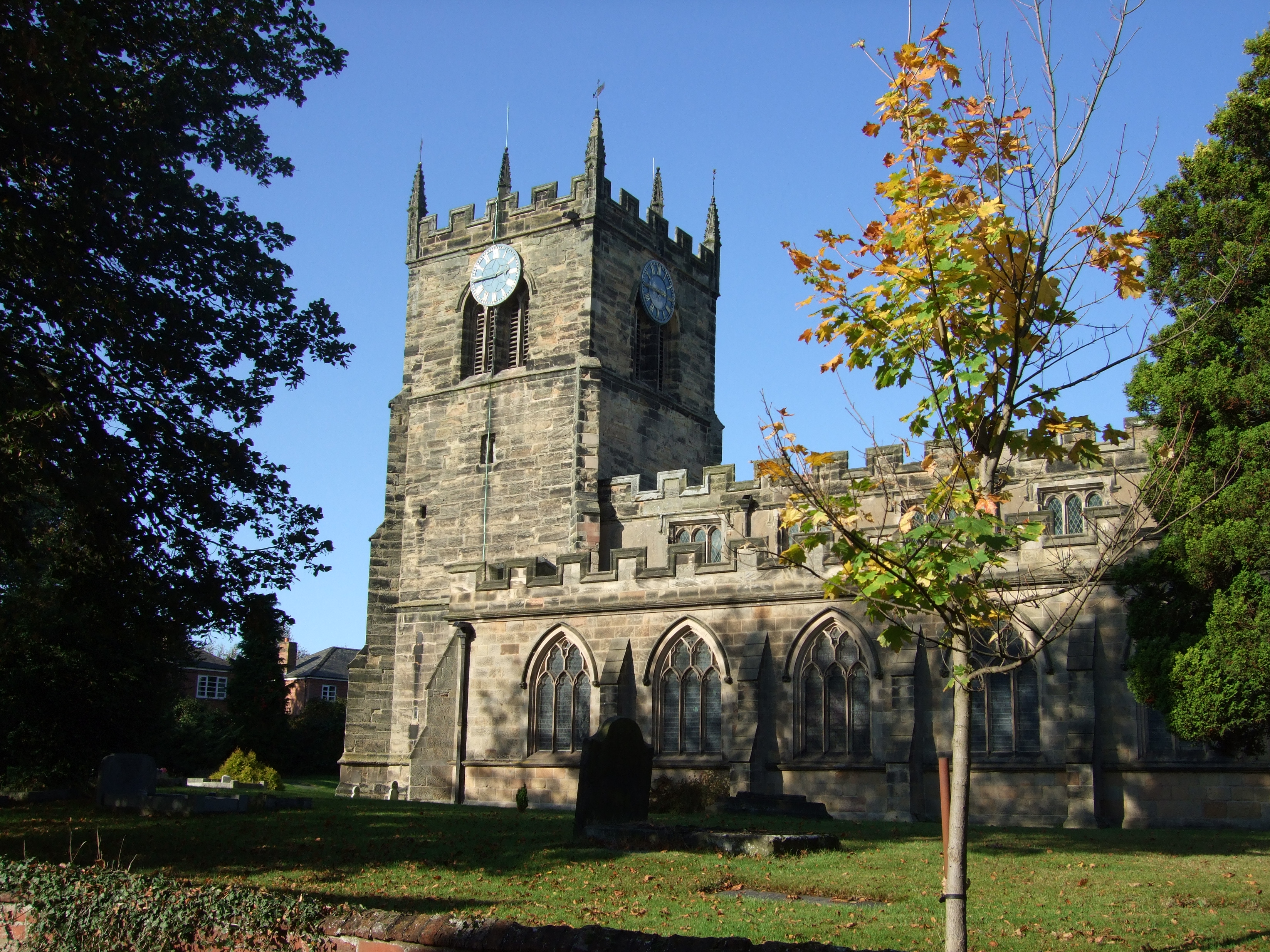
Barton-under-Needwood
Barton-under-Needwood is a large village in the East Staffordshire district of Staffordshire, England. Situated a mile from the A38, and located between...
Barton Gate
Barton Gate is a village in Staffordshire, England.For population details at the 2011 census see Barton-under-Needwood.
Nearby Amenities
Located within 500m of 52.781893,-1.7353024Have you been to Black Firs?
Leave your review of Black Firs below (or comments, questions and feedback).