Dalmonach

Settlement in Dunbartonshire

Scotland

Dalmonach

Balloch Road, Alexandria
Balloch Road, Alexandria Credit: Alpin Stewart

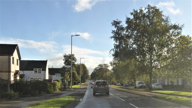
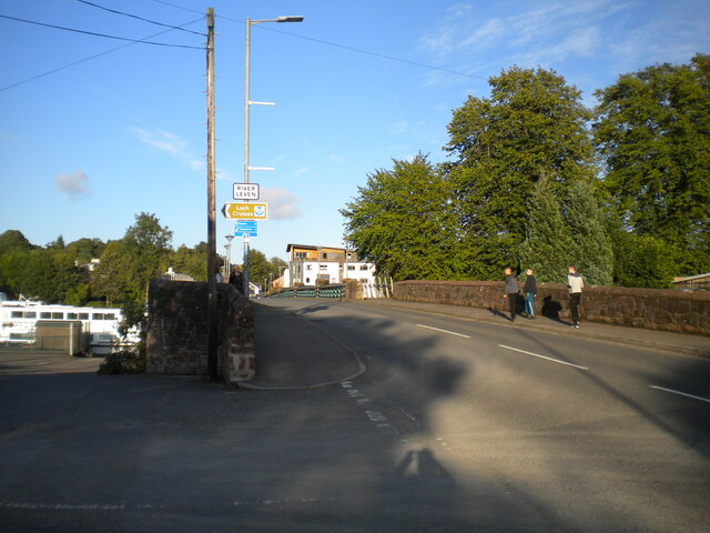
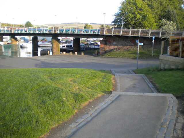
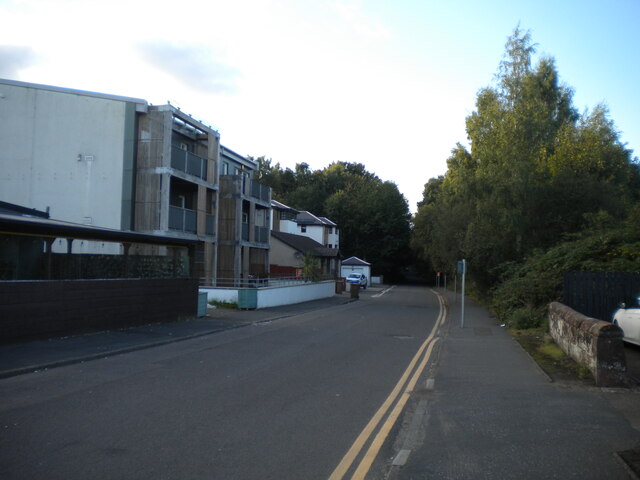
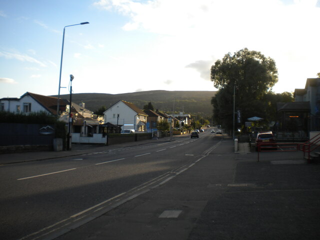
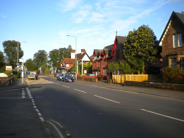
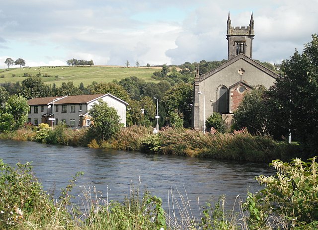
Dalmonach is a small village located in the council area of Dunbartonshire, Scotland. Situated on the banks of the River Leven, it lies approximately 2 miles southeast of the town of Alexandria and 19 miles northwest of Glasgow. With a population of around 1,200 residents, Dalmonach offers a peaceful and close-knit community atmosphere.

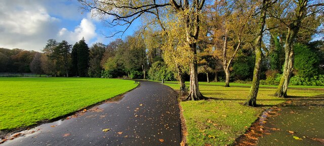
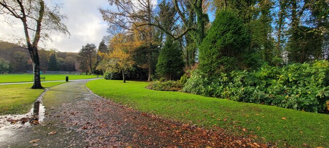
The village is surrounded by picturesque countryside, with rolling hills and stunning views of Loch Lomond and the Trossachs National Park nearby. Nature enthusiasts can enjoy various outdoor activities such as hiking, fishing, and birdwatching in the surrounding area.

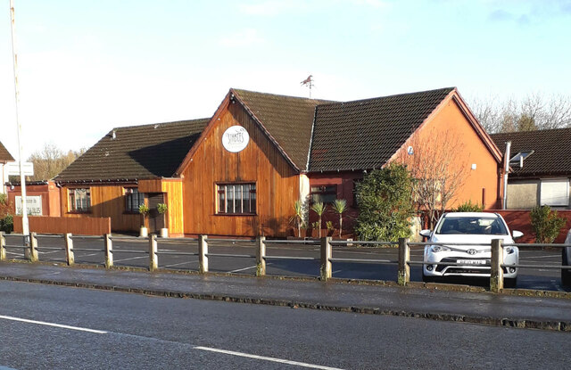
Dalmonach has limited amenities, but residents have easy access to services in Alexandria and nearby Balloch. The village is served by regular bus routes, providing convenient transportation links to the wider region.

Historically, Dalmonach was known for its textile industry, with several mills operating along the River Leven. Although the mills have now been repurposed or demolished, the village's industrial heritage is still evident.

The local schools in Dalmonach provide education for young residents, ensuring a strong sense of community within the village. Additionally, the area boasts a number of historical landmarks, including the nearby ruins of Balloch Castle and the enchanting gardens at Geilston House.

Overall, Dalmonach offers a tranquil setting for those seeking a peaceful retreat while still having access to larger towns and the natural beauty of the surrounding Scottish landscape.

If you have any feedback on the listing, please let us know in the comments section below.
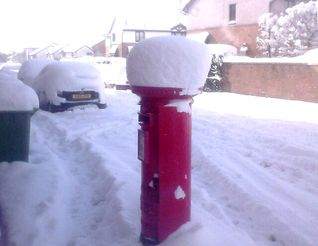
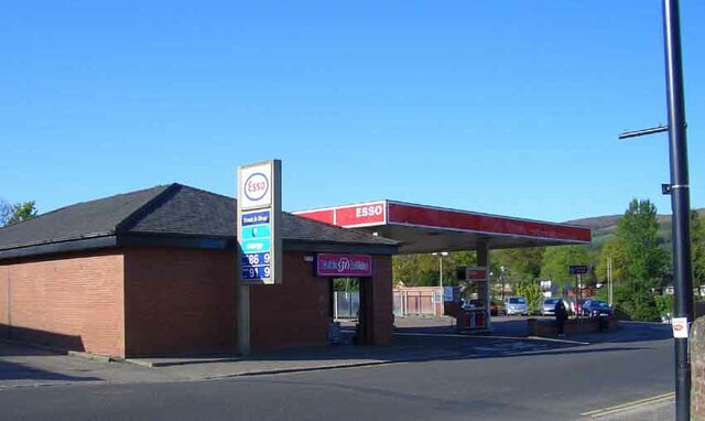
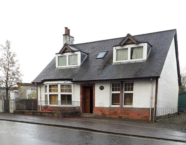
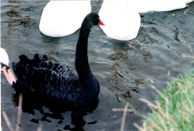
Dalmonach Images

Images are sourced within 2km of 55.98773/-4.571834 or Grid Reference NS3980. Thanks to Geograph Open Source API. All images are credited.

Balloch Road, Alexandria
Yet ANOTHER photo of Christie Park, Alexandria! Christie Park, Alexandria
Yet ANOTHER photo of Christie Park, Alexandria!
Christie Park, Alexandria
Christie Park, Alexandria An Autumn day in the park.
Christie Park, Alexandria
An Autumn day in the park.
The Stables Restaurant & Bar This family-run restaurant is situated on the northeast side of Carrochan Road, Balloch (A813), half way between Balloch and Jamestown. It was originally known as the "Roundabout Inn". It closed indefinitely in autumn 2022.
The Stables Restaurant & Bar
This family-run restaurant is situated on the northeast side of Carrochan Road, Balloch (A813), half way between Balloch and Jamestown. It was originally known as the "Roundabout Inn". It closed indefinitely in autumn 2022.
Postbox Dalvait Rd, Balloch This Postbox was on the pavement outside the Well Pharmacy on Dalvait Rd, Balloch. It was removed (2020) after the Post Office was moved from Dalvait Rd to the Co-op Store, Carrochan Rd, Balloch.
Postbox Dalvait Rd, Balloch
This Postbox was on the pavement outside the Well Pharmacy on Dalvait Rd, Balloch. It was removed (2020) after the Post Office was moved from Dalvait Rd to the Co-op Store, Carrochan Rd, Balloch.
Esso Filling Station This Filling Station was at the east end of Balloch Bridge opposite the then “Balloch Hotel”. The Filling Station was demolished in 2007 and the Riverside Apartments <a href="https://www.geograph.org.uk/photo/7357218">NS3981 : Riverside Apartments, Balloch</a> were built on the same site. Locally the filling station was often referred to as “Lynn’s Garage” acknowledging its previous ownership and usage.
Esso Filling Station
This Filling Station was at the east end of Balloch Bridge opposite the then “Balloch Hotel”. The Filling Station was demolished in 2007 and the Riverside Apartments NS3981 : Riverside Apartments, Balloch were built on the same site. Locally the filling station was often referred to as “Lynn’s Garage” acknowledging its previous ownership and usage.
Riverside Apartments, Balloch These apartments with commercial space at ground level are at the east end of Balloch Bridge opposite the “Balloch House Hotel”. The site was formerly occupied by an Esso filling station <a href="https://www.geograph.org.uk/photo/7357213">NS3981 : Esso Filling Station</a>.
Riverside Apartments, Balloch
These apartments with commercial space at ground level are at the east end of Balloch Bridge opposite the “Balloch House Hotel”. The site was formerly occupied by an Esso filling station NS3981 : Esso Filling Station.
Beechwood, Balloch Road, Balloch This cottage is adjacent to the Balloch Bus Stance. Up until the late 1990s it was used by the Royal Bank of Scotland, opening mornings only. For many years, in front of the bay window, there has been a stone blade-sharpener, mounted on its wooden trestle.
Beechwood, Balloch Road, Balloch
This cottage is adjacent to the Balloch Bus Stance. Up until the late 1990s it was used by the Royal Bank of Scotland, opening mornings only. For many years, in front of the bay window, there has been a stone blade-sharpener, mounted on its wooden trestle.
Demolished Garage J. Methven Motors was compulsorily purchased in 1998 and demolished to make way for the entrance road to the proposed Lomond Shores. The yard and repair workshops were on the land now occupied by Marston’s “Queen of the Loch” hotel <a href="https://www.geograph.org.uk/photo/7394650">NS3881 : The Queen of the Loch</a>

The triangular road junction at that time was replaced by a roundabout.  The Chinese Rose restaurant, the Queen of the Loch hotel and the three-storey white painted Laudervale Garden apartments, surround the roundabout.

This photo was taken in 1982. Petrol prices are shown as 36p per litre and 163p per gallon. To promote diesel fuel, which the Government told us was cleaner than petrol, the price was lower at 151.9p per gallon. Unleaded had not yet arrived.

The garage had a car sales franchise with Austin Rover. This was the then title of the British motor manufacture’s lexicon of names going through Austin, Morris, MG, Wolsley, Riley, Jaguar, Land Rover, British Leyland, BMH Ltd, BMC and ending in 2000 as Rover Group. (Forgive me if I have missed a few). Its best seller in 1982 was the Metro. The Maestro came a year later.
Demolished Garage
J. Methven Motors was compulsorily purchased in 1998 and demolished to make way for the entrance road to the proposed Lomond Shores. The yard and repair workshops were on the land now occupied by Marston’s “Queen of the Loch” hotel NS3881 : The Queen of the Loch The triangular road junction at that time was replaced by a roundabout. The Chinese Rose restaurant, the Queen of the Loch hotel and the three-storey white painted Laudervale Garden apartments, surround the roundabout. This photo was taken in 1982. Petrol prices are shown as 36p per litre and 163p per gallon. To promote diesel fuel, which the Government told us was cleaner than petrol, the price was lower at 151.9p per gallon. Unleaded had not yet arrived. The garage had a car sales franchise with Austin Rover. This was the then title of the British motor manufacture’s lexicon of names going through Austin, Morris, MG, Wolsley, Riley, Jaguar, Land Rover, British Leyland, BMH Ltd, BMC and ending in 2000 as Rover Group. (Forgive me if I have missed a few). Its best seller in 1982 was the Metro. The Maestro came a year later.
Visiting Black Swan Native to southern parts of the Australian mainland and Tasmania, black swans are normally slightly smaller than our native white swans, but not afraid of their larger cousins.
This one appeared, without a mate for several months in 1998 in the River Leven and has not appeared again.
Maybe it had escaped from a private collection.
Visiting Black Swan
Native to southern parts of the Australian mainland and Tasmania, black swans are normally slightly smaller than our native white swans, but not afraid of their larger cousins. This one appeared, without a mate for several months in 1998 in the River Leven and has not appeared again. Maybe it had escaped from a private collection.
Balloch Road approaching Balloch Bridge, Balloch The western approach, seen from the entrance to the car park by the bank of the River Leven.
Balloch Road approaching Balloch Bridge, Balloch
The western approach, seen from the entrance to the car park by the bank of the River Leven.
Steps to riverside path, Balloch From the car park immediately north west of Balloch Bridge, part of which is in visible in the centre of the picture.
Steps to riverside path, Balloch
From the car park immediately north west of Balloch Bridge, part of which is in visible in the centre of the picture.
Pier Road, Balloch Looking towards the pier from just north of Balloch Road.
Pier Road, Balloch
Looking towards the pier from just north of Balloch Road.
Balloch Road, Balloch (1) Looking towards the western edge of the village from near the junction with Pier Road, with the hills rising in the distance.
Balloch Road, Balloch (1)
Looking towards the western edge of the village from near the junction with Pier Road, with the hills rising in the distance.
Balloch Road, Balloch (2) Looking towards the railway station and Balloch Bridge from close to the junction with Pier Road (left foreground).
Balloch Road, Balloch (2)
Looking towards the railway station and Balloch Bridge from close to the junction with Pier Road (left foreground).
River Leven, Balloch Looking downstream from Balloch Bridge towards Lomond Bridge. This part of the river is home to a marina, which appears very popular judging by this picture.
River Leven, Balloch
Looking downstream from Balloch Bridge towards Lomond Bridge. This part of the river is home to a marina, which appears very popular judging by this picture.
A82 Renton Bypass
A82 Renton Bypass
Glen Alwyn and Carmirdal These two cottages sit behind the former Tullichewan North Lodge gate-piers on Old Luss Road, Balloch. 
Glen Alwyn, on the right, is a Grade B listed building. Like the original Tulliechewan Castle, it was designed by Robert Lugar.
Glen Alwyn and Carmirdal
These two cottages sit behind the former Tullichewan North Lodge gate-piers on Old Luss Road, Balloch. Glen Alwyn, on the right, is a Grade B listed building. Like the original Tulliechewan Castle, it was designed by Robert Lugar.
Show me another place!

Dalmonach is located at Grid Ref: NS3980 (Lat: 55.98773, Lng: -4.571834)

Unitary Authority: West Dunbartonshire

Police Authority: Argyll and West Dunbartonshire

What 3 Words

///bravery.flagging.fortunes. Near Alexandria, West Dunbartonshire

Nearby Locations

Dalmonach Alexandria

Related Wikis

Alexandria railway station

Alexandria railway station serves the town of Alexandria, Scotland. The station is managed by ScotRail and is served by their trains on the North Clyde...

Bonhill

Bonhill (Scots: B'nill; Scottish Gaelic: Both an Uillt) is a town in the Vale of Leven area of West Dunbartonshire, Scotland. It is sited on the Eastern...

Vale of Leven F.C.

Vale of Leven Football Club is a Scottish football club based in the town of Alexandria, in the Vale of Leven area of West Dunbartonshire. Nicknamed the...
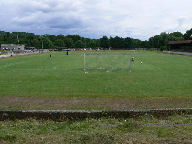
Millburn Park

Millburn Park is a football ground in Alexandria, Scotland. It has been the home ground of Vale of Leven since 1888, hosting Scottish Football League matches...

Related Videos

Lomond Woods Holiday Park | Lodges, Caravans & Glamping by Loch Lomond

Ideally located within walking distance of Loch Lomond, Lomond Woods Holiday Park is a special place for you to spend your ...

Loch Lomond Glamping | Ensuite Glamping at Lomond Woods Holiday Park

Our range of camping pods provide a great little haven for couples, families and groups looking to enjoy a break close to Loch ...

Walking in Alexandria (Egypt)

Alexandria is the third-largest city in Egypt after Cairo and Giza, the seventh-largest city in Africa, and a major economic centre.

Stingray Sea Life #scotland #travel

shorts #stingray #sealife #scotland #youtubeshorts.

Nearby Amenities

Located within 500m of 55.98773,-4.571834
Alexandria
Public Transport: stop_position
Railway: stop
Train: yes
Lat/Long: 55.9851799/-4.5773986
Created By: Merkaartor 0.12
Lat/Long: 55.9865206/-4.5785656
Traffic Signals
Source: survey
Lat/Long: 55.9861057/-4.5771652
Created By: Merkaartor 0.12
Lat/Long: 55.9902249/-4.5724501
Created By: Merkaartor 0.12
Lat/Long: 55.9898993/-4.5724609
Created By: Merkaartor 0.12
Lat/Long: 55.9894523/-4.5723831
Created By: Merkaartor 0.12
Lat/Long: 55.9884021/-4.5718037
Created By: Merkaartor 0.12
Lat/Long: 55.9873578/-4.5717394
Created By: Merkaartor 0.12
Lat/Long: 55.9865356/-4.5719003
Created By: Merkaartor 0.12
Lat/Long: 55.9855574/-4.5722329
Created By: Merkaartor 0.12
Lat/Long: 55.9851973/-4.5722973
Shop: convenience
Lat/Long: 55.9851388/-4.5743179
Traffic Signals
Source: survey
Lat/Long: 55.9848753/-4.5723401
Crossing
Crossing: traffic_signals
Source: survey
Lat/Long: 55.9846724/-4.5757557
Turning Circle
Lat/Long: 55.9879642/-4.5710051
Turning Circle
Lat/Long: 55.9835683/-4.5711806
Mini Roundabout
Direction: clockwise
Lat/Long: 55.9851966/-4.5771525
Sunnyside B+B
Addr Housenumber: 35
Addr Postcode: G83 9JX
Addr Street: Main Street
Fhrs Id: 94245
Source Addr: FHRS Open Data
Tourism: hotel
Lat/Long: 55.9892603/-4.571871
Kindergarten
Ferryfield Day Nursery
Lat/Long: 55.9868857/-4.5765317
Place Of Worship
Our Lady & St. Mark's
Addr Postcode: G83 0UW
Addr Street: Ferry Loan
Denomination: catholic
Fhrs Id: 145066
Religion: christian
Source Addr: FHRS Open Data
Lat/Long: 55.9869784/-4.5751563
Place Of Worship
Vale of Leven Baptist Church
Denomination: baptist
Religion: christian
Lat/Long: 55.9843597/-4.5767562
Dalmonach
Place: neighbourhood
Lat/Long: 55.9882786/-4.5690182
Alexandria
Naptan AtcoCode: 9100ALXANDR
Network: National Rail
Network Website: https://www.nationalrail.co.uk/stations/alx/
Network Wikidata: Q26334
Operator: ScotRail
Operator Website: https://www.scotrail.co.uk/plan-your-journey/stations-and-facilities/alx
Operator Wikidata: Q18356161
Public Transport: station
Railway: station
Ref Crs: ALX
Train: yes
Wikidata: Q2344225
Wikipedia: en:Alexandria railway station
Lat/Long: 55.9852719/-4.5773243
Bicycle Repair Station
Opening Hours: 24/7
Service Bicycle Pump: yes
Service Bicycle Tools: yes
Lat/Long: 55.9849525/-4.5736254
Noexit: yes
Lat/Long: 55.990312/-4.5669289
Generator Method: photovoltaic
Generator Output Electricity: yes
Generator Source: solar
Generator Type: solar_photovoltaic_panel
Power: generator
Lat/Long: 55.990092/-4.5727663
The data included in this document is from www.openstreetmap.org. The data is made available under ODbL.

Have you been to Dalmonach?

Leave your review of Dalmonach below (or comments, questions and feedback).