Brown's Coppice
Wood, Forest in Staffordshire East Staffordshire
England
Brown's Coppice

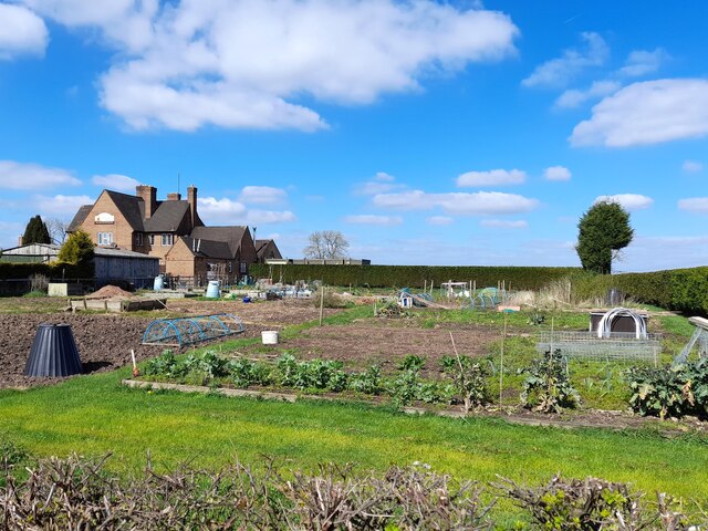
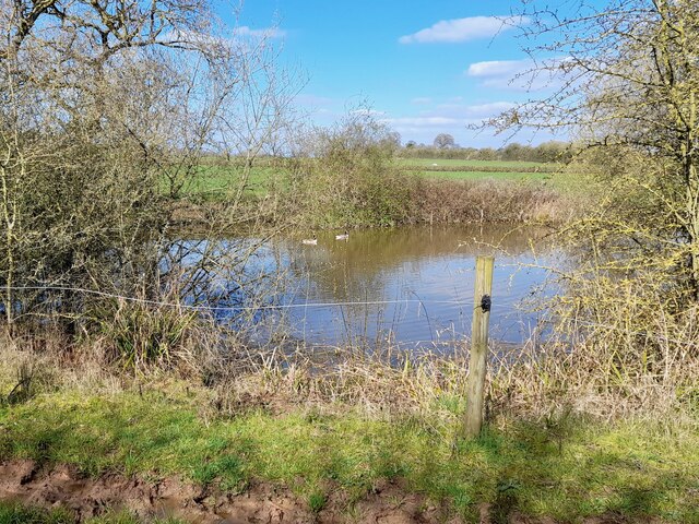
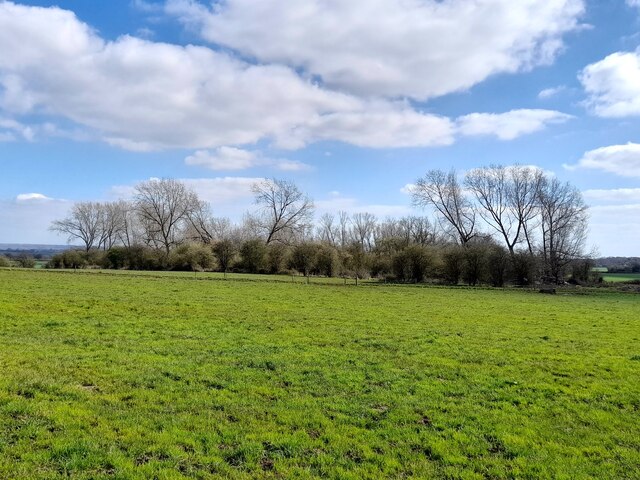
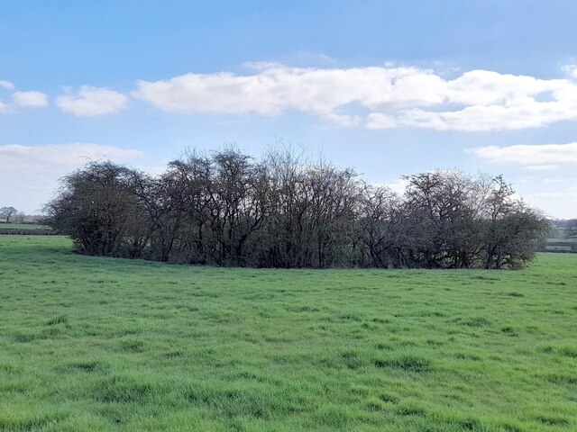
Brown's Coppice is a picturesque woodland located in Staffordshire, England. Situated just outside the small village of Alrewas, this ancient forest is a haven for nature lovers and outdoor enthusiasts. Covering an area of approximately 50 hectares, the coppice boasts a diverse range of flora and fauna, making it an important ecological site.
The woodland primarily consists of deciduous trees, including oak, ash, and birch, which create a vibrant and ever-changing landscape throughout the seasons. The forest floor is covered in a lush carpet of bluebells, wood anemones, and wild garlic during the spring, while the autumn months paint the trees in a stunning array of reds, oranges, and yellows.
Brown's Coppice offers several well-maintained walking trails that wind through the forest, providing visitors with the opportunity to immerse themselves in the natural beauty of the area. These trails cater to varying abilities, with some suitable for families and others offering more challenging terrain for experienced hikers.
The woodland is also home to a diverse range of wildlife, including deer, badgers, foxes, and a plethora of bird species. Birdwatchers will be delighted by the chance to spot woodpeckers, nuthatches, and various species of owls.
In addition to its natural charm, Brown's Coppice holds historical significance. The area was once a source of timber for local industries and was used by charcoal burners. Today, remnants of these activities can be found, adding an intriguing historical dimension to the woodland.
Overall, Brown's Coppice in Staffordshire is a hidden gem, offering visitors a tranquil and enchanting escape into nature.
If you have any feedback on the listing, please let us know in the comments section below.
Brown's Coppice Images
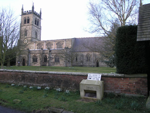
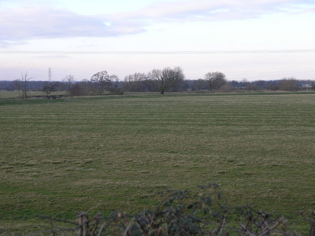
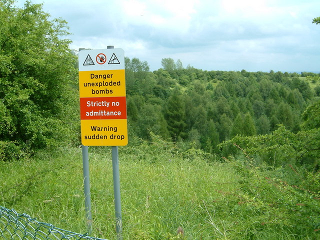
Images are sourced within 2km of 52.84935/-1.7351749 or Grid Reference SK1728. Thanks to Geograph Open Source API. All images are credited.


Brown's Coppice is located at Grid Ref: SK1728 (Lat: 52.84935, Lng: -1.7351749)
Administrative County: Staffordshire
District: East Staffordshire
Police Authority: Staffordshire
What 3 Words
///heat.trickles.pure. Near Burton upon Trent, Staffordshire
Nearby Locations
Related Wikis
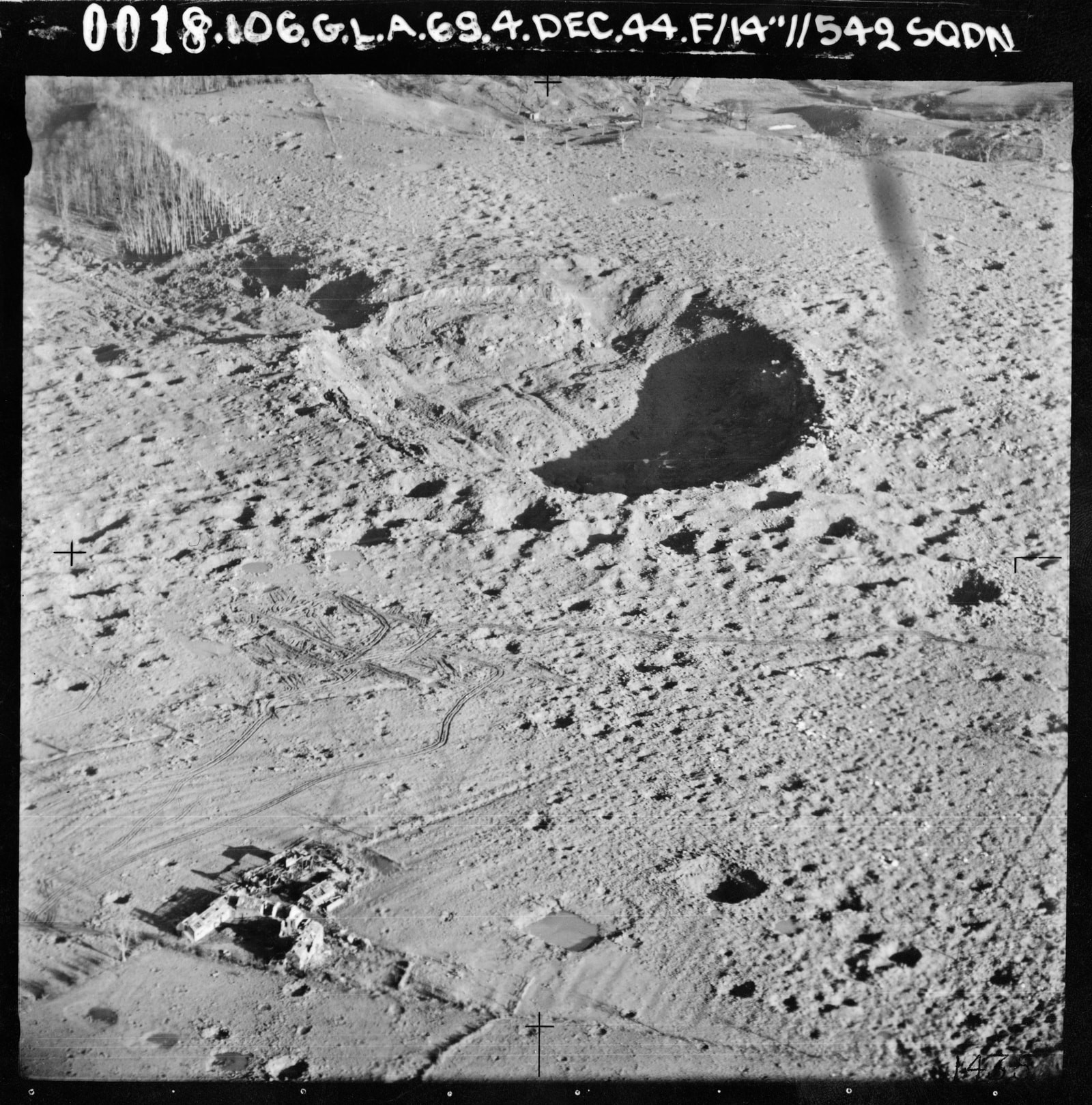
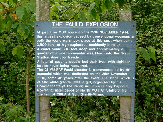
RAF Fauld explosion
The RAF Fauld explosion was a military accident which occurred at 11:11 am on Monday, 27 November 1944 at the RAF Fauld underground munitions storage depot...

Hanbury, Staffordshire
Hanbury is a rural village and civil parish 3.3 miles (5.3 km) west-north-west of Burton-on-Trent in Staffordshire, England. It is bounded to the north...

Scropton Tramway
The Scropton Tramway was a British industrial 3 ft (914 mm) narrow gauge railway connecting several gypsum mines with the North Staffordshire Railway station...

Draycott in the Clay
Draycott in the Clay is a village and civil parish within the English county of Staffordshire. == Location == The village is located between Uttoxeter...
Scropton railway station
Scropton railway station was a short-lived railway station in Derbyshire, England. The railway line between Uttoxeter and Burton-on-Trent was opened by...
Foston and Scropton
Foston and Scropton is a civil parish in the Dove valley in South Derbyshire. It includes the village of Scropton and hamlet of Foston. The population...

Tutbury Castle
Tutbury Castle is a largely ruined medieval castle at Tutbury, Staffordshire, England, in the ownership of the Duchy of Lancaster and hence currently of...

Sudbury railway station (Staffordshire)
Sudbury railway station was a railway station serving Sudbury, Derbyshire although the station was located in Staffordshire, near to Draycott in the Clay...
Nearby Amenities
Located within 500m of 52.84935,-1.7351749Have you been to Brown's Coppice?
Leave your review of Brown's Coppice below (or comments, questions and feedback).