Conyers Spring

Wood, Forest in Yorkshire Richmondshire

England

Conyers Spring

View from the Wensleydale Railway Nearing the passing loop, this is at Constable Burton wood.
View from the Wensleydale Railway Credit: Ashley Dace

Conyers Spring is a picturesque woodland located in the county of Yorkshire, England. Nestled within the idyllic countryside, this enchanting forest is a haven for nature lovers and outdoor enthusiasts alike. Covering an extensive area of lush greenery, Conyers Spring offers a serene and tranquil escape from the hustle and bustle of everyday life.

The woodland is characterized by its dense canopy of towering trees, predominantly oak and beech, which provide a stunning display of vibrant colors throughout the changing seasons. The forest floor is adorned with a carpet of wildflowers, adding to the area's natural beauty. A network of well-maintained footpaths and trails crisscrosses the woodland, allowing visitors to explore its hidden treasures at their own pace.

Conyers Spring is also home to a diverse range of flora and fauna, making it a haven for wildlife. Squirrels can be spotted scampering between the trees, while a variety of bird species – including woodpeckers and owls – make their homes within the forest. Nature enthusiasts will relish the opportunity to observe and appreciate these creatures in their natural habitat.

The woodland is a popular destination for outdoor activities such as hiking, jogging, and picnicking. Its peaceful ambiance and breathtaking scenery make it an ideal spot for those seeking solace in nature. Additionally, the forest is often used as a venue for educational programs and guided nature walks, providing visitors with a deeper understanding of the local ecosystem.

Conyers Spring, with its serene atmosphere and abundant natural beauty, offers a rejuvenating experience for anyone looking to connect with nature in the heart of Yorkshire.

If you have any feedback on the listing, please let us know in the comments section below.

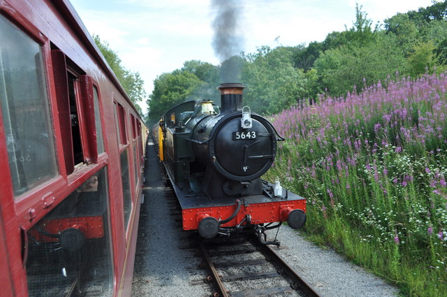
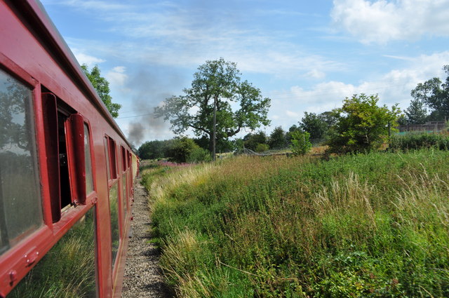
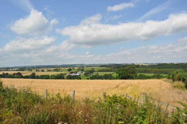
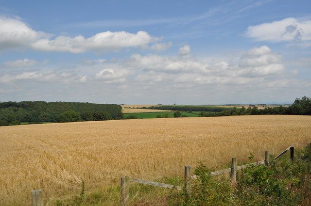
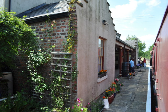
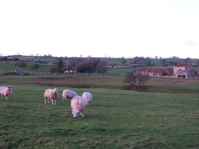
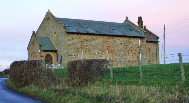
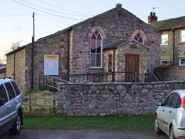
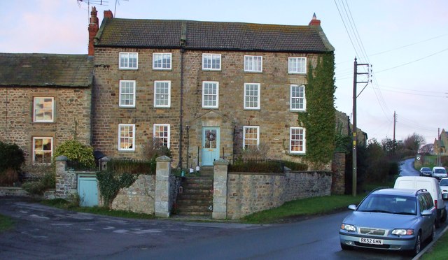
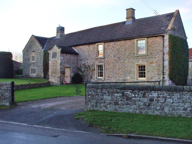
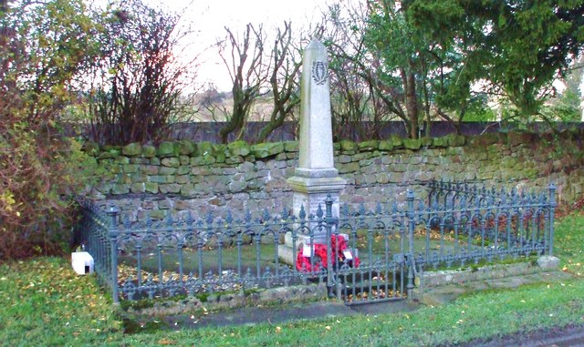
Conyers Spring Images

Images are sourced within 2km of 54.318749/-1.727005 or Grid Reference SE1791. Thanks to Geograph Open Source API. All images are credited.

View from the Wensleydale Railway Nearing the passing loop, this is at Constable Burton wood.
View from the Wensleydale Railway
Nearing the passing loop, this is at Constable Burton wood.
Constable Burton Passing loop Long railways require passing loops for trains to pass each other. This is the loop at the site of Constable Burton station.
Constable Burton Passing loop
Long railways require passing loops for trains to pass each other. This is the loop at the site of Constable Burton station.
View from the Wensleydale Railway Nearing a small level crossing after leaving the passing loop.
View from the Wensleydale Railway
Nearing a small level crossing after leaving the passing loop.
Small Level Crossing Carries a footpath.
Small Level Crossing
Carries a footpath.
Unthank Farm and the Wild Wood From the Wensleydale railway.
Unthank Farm and the Wild Wood
From the Wensleydale railway.
View from the Wensleydale Railway The Wensleydale railway is a preserved railway in North Yorkshire. The line currently runs 22 miles (35 km) between Northallerton on the East Coast Main Line and Redmire. This makes the line the longest heritage railway in Great Britain. Occasional freight services and excursions travel the full length of the line, however regular passenger services currently only operate between Leeming Bar and Redmire, a distance of 16.5 miles (27 km). Formerly the line ran from Northallerton to Garsdale on the Settle-Carlisle Railway. However the track between Redmire and Garsdale was lifted and several bridges and viaducts were demolished in the past. (Wikipedia)
<span class="nowrap"><a title="http://www.wensleydalerailwayassociation.com/" rel="nofollow ugc noopener" href="http://www.wensleydalerailwayassociation.com/">Link</a><img style="margin-left:2px;" alt="External link" title="External link - shift click to open in new window" src="https://s1.geograph.org.uk/img/external.png" width="10" height="10"/></span>
View from the Wensleydale Railway
The Wensleydale railway is a preserved railway in North Yorkshire. The line currently runs 22 miles (35 km) between Northallerton on the East Coast Main Line and Redmire. This makes the line the longest heritage railway in Great Britain. Occasional freight services and excursions travel the full length of the line, however regular passenger services currently only operate between Leeming Bar and Redmire, a distance of 16.5 miles (27 km). Formerly the line ran from Northallerton to Garsdale on the Settle-Carlisle Railway. However the track between Redmire and Garsdale was lifted and several bridges and viaducts were demolished in the past. (Wikipedia) LinkExternal link
Finghall Station Currently trains operate on a request stop basis whereby if there are passengers on the platform then the train will halt but if there are no passengers the train will continue through without stopping. Passengers wishing to alight at Finghall must inform a member of the train crew and they will take action to ensure the train stops at the station. Only two or three out of the ten trains a day actually halt at Finghall and often this is just to ensure good timekeeping.
Finghall Station
Currently trains operate on a request stop basis whereby if there are passengers on the platform then the train will halt but if there are no passengers the train will continue through without stopping. Passengers wishing to alight at Finghall must inform a member of the train crew and they will take action to ensure the train stops at the station. Only two or three out of the ten trains a day actually halt at Finghall and often this is just to ensure good timekeeping.
Sheep pasture, Hunton Grazing sheep at Hunton. The small trees right of centre mark the position of Brockhill Pond, whilst beyond is Blewery Grange.
Sheep pasture, Hunton
Grazing sheep at Hunton. The small trees right of centre mark the position of Brockhill Pond, whilst beyond is Blewery Grange.
St. John's, Hunton Re-built in 1894, the former church of St. John's stands outside the village on Brock Hill. It is now a private residence.
St. John's, Hunton
Re-built in 1894, the former church of St. John's stands outside the village on Brock Hill. It is now a private residence.
Hunton Chapel In 1857 this was a Wesleyan Methodists Chapel.
Hunton Chapel
In 1857 this was a Wesleyan Methodists Chapel.
Hunton House A Grade II Listed property dating from the Mid-Late C18 with early C19 railings. One of the grandest houses in Hunton.
Hunton House
A Grade II Listed property dating from the Mid-Late C18 with early C19 railings. One of the grandest houses in Hunton.
Hunton Manor Begun in the Late C16, with many later additions, most noteworthy is the C18 Gable Porch and C19 windows. All is Grade II Listed.
Hunton Manor
Begun in the Late C16, with many later additions, most noteworthy is the C18 Gable Porch and C19 windows. All is Grade II Listed.
Hunton War Memorial Every town, village and rural parish lost men in the Great War. Two wreaths laid to mark their passing from Remembrance Sunday remain respectfully untouched.
Hunton War Memorial
Every town, village and rural parish lost men in the Great War. Two wreaths laid to mark their passing from Remembrance Sunday remain respectfully untouched.
The Countryman Inn There are less & less rural pubs during this economic downturn, but this one is still doing a roaring trade.
The Countryman Inn
There are less & less rural pubs during this economic downturn, but this one is still doing a roaring trade.
Village Store & Post Office
Hunton Primary School A rural primary for the children from the viallage, local farms & small hamlets in the region.
Hunton Primary School
A rural primary for the children from the viallage, local farms & small hamlets in the region.
Quoit Central On the Green in the centre of Hunton are the Quoit pits, a bench to watch the match from, and a barn where the quoits are kept.
Quoit Central
On the Green in the centre of Hunton are the Quoit pits, a bench to watch the match from, and a barn where the quoits are kept.
Sawmill Bridge, Hunton A small un-named beck flows under this culverted road bridge in Hunton.
Sawmill Bridge, Hunton
A small un-named beck flows under this culverted road bridge in Hunton.
Show me another place!

Conyers Spring is located at Grid Ref: SE1791 (Lat: 54.318749, Lng: -1.727005)

Division: North Riding

Administrative County: North Yorkshire

District: Richmondshire

Police Authority: North Yorkshire

What 3 Words

///games.divisible.blanking. Near Catterick Garrison, North Yorkshire

Nearby Locations

Conyers Spring Dicky Wood

Related Wikis

Unthank, North Yorkshire

Unthank is a former village near Constable Burton in North Yorkshire, England. The village survived until some time in the 19th century. The site is currently...

Hunton, North Yorkshire

Hunton is a village and civil parish about 3 miles (4.8 km) south of Catterick Garrison and 6 miles (10 km) north west of Bedale, in North Yorkshire, England...

Constable Burton

Constable Burton is a village and civil parish in North Yorkshire, England. It is 3 miles (4.8 km) east of Leyburn. == History == The village takes its...

Akebar

Akebar is a township and civil parish in North Yorkshire, England, about eight miles south of Richmond. It consists of a caravan site, as well as several...

Nearby Amenities

Located within 500m of 54.318749,-1.727005
Power: pole
Lat/Long: 54.3176826/-1.7195106
Power: pole
Lat/Long: 54.3178578/-1.7194596
Power: pole
Lat/Long: 54.3177013/-1.7217824
Power: pole
Lat/Long: 54.3176403/-1.7229921
Power: pole
Lat/Long: 54.3175683/-1.7241722
Power: pole
Lat/Long: 54.3174979/-1.7253765
Power: pole
Lat/Long: 54.3174573/-1.7266211
Power: pole
Lat/Long: 54.3175574/-1.7279407
Power: pole
Lat/Long: 54.3176841/-1.7292389
Power: pole
Lat/Long: 54.3178296/-1.7303333
Power: pole
Lat/Long: 54.3179157/-1.731433
Power: pole
Lat/Long: 54.3180299/-1.7326105
Power: pole
Lat/Long: 54.3181472/-1.7337236
Power: pole
Lat/Long: 54.3175621/-1.7217931
Power: pole
Lat/Long: 54.3174854/-1.7229867
Power: pole
Lat/Long: 54.3174197/-1.7241508
Power: pole
Lat/Long: 54.3173446/-1.7253712
Power: pole
Lat/Long: 54.3173305/-1.7265862
Power: pole
Lat/Long: 54.3174135/-1.7280239
Power: pole
Lat/Long: 54.3175355/-1.7292094
Power: pole
Lat/Long: 54.3176481/-1.730344
Power: pole
Lat/Long: 54.317767/-1.731492
Power: pole
Lat/Long: 54.3178812/-1.7327017
Power: pole
Lat/Long: 54.3179876/-1.7337933
Power: pole
Lat/Long: 54.3162556/-1.732213
Power: pole
Lat/Long: 54.3168624/-1.7324867
Power: pole
Lat/Long: 54.3174372/-1.7327353
Power: pole
Lat/Long: 54.3180187/-1.7329931
Power: pole
Lat/Long: 54.318676/-1.7325894
Power: pole
Lat/Long: 54.3193533/-1.7321673
Power: pole
Lat/Long: 54.3200425/-1.7317407
Power: pole
Lat/Long: 54.3207836/-1.7312594
Power: pole
Lat/Long: 54.321498/-1.7308032
Power: pole
Lat/Long: 54.3222817/-1.7303127
The data included in this document is from www.openstreetmap.org. The data is made available under ODbL.

Have you been to Conyers Spring?

Leave your review of Conyers Spring below (or comments, questions and feedback).