Bee Furlong Brake
Wood, Forest in Gloucestershire Cotswold
England
Bee Furlong Brake

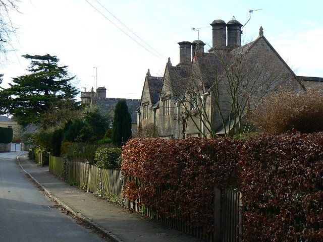
Bee Furlong Brake is a quaint and picturesque woodland area located in the heart of Gloucestershire, England. Situated in the larger Forest of Dean, Bee Furlong Brake is a popular destination for nature lovers and outdoor enthusiasts alike.
Covering an area of approximately 200 acres, Bee Furlong Brake is known for its dense and ancient woodlands, offering a serene and peaceful atmosphere for visitors to enjoy. The woodland is primarily composed of native tree species such as oak, beech, and ash, creating a rich and diverse ecosystem that supports a wide variety of wildlife.
The forest floor of Bee Furlong Brake is adorned with a vibrant carpet of bluebells in the springtime, creating a breathtaking sight that attracts photographers and nature enthusiasts from far and wide. Additionally, the woodland is home to an array of bird species, including woodpeckers, owls, and various songbirds, making it a haven for birdwatchers.
Visitors to Bee Furlong Brake can explore the woodland through a network of walking trails that wind their way through the trees. These trails offer a chance to connect with nature and admire the beauty of the surrounding landscape. Along the way, visitors may encounter hidden clearings, babbling brooks, and the occasional glimpse of local wildlife.
Bee Furlong Brake is a true gem in the Gloucestershire countryside, offering a peaceful and idyllic retreat for those seeking to escape the hustle and bustle of everyday life. Whether it's a leisurely stroll, a picnic among the trees, or a chance to immerse oneself in nature, Bee Furlong Brake is a destination that promises tranquility and natural beauty.
If you have any feedback on the listing, please let us know in the comments section below.
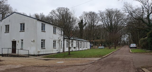
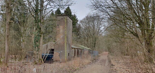
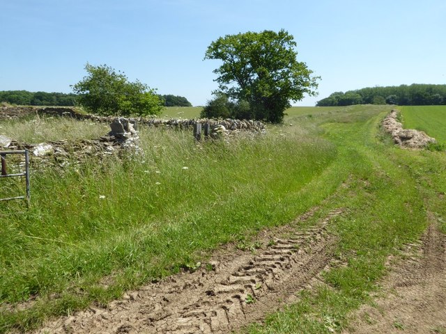
Bee Furlong Brake Images
Images are sourced within 2km of 51.726122/-1.7430562 or Grid Reference SP1703. Thanks to Geograph Open Source API. All images are credited.


Bee Furlong Brake is located at Grid Ref: SP1703 (Lat: 51.726122, Lng: -1.7430562)
Administrative County: Gloucestershire
District: Cotswold
Police Authority: Gloucestershire
What 3 Words
///sailed.conspired.cleansed. Near Fairford, Gloucestershire
Nearby Locations
Related Wikis

RAF Southrop
Royal Air Force Southrop or more simply RAF Southrop is a former Royal Air Force satellite station west of the village of Southrop, Gloucestershire during...

St Peter's Church, Southrop
St Peter's Church is an Anglican church in Southrop, a Cotswolds village in the English county of Gloucestershire. It is an active parish church in the...
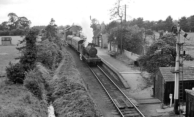
Fairford railway station
Fairford railway station served the town of Fairford in Gloucestershire. It was the western terminus of the Oxford, Witney and Fairford Railway between...
Fairford Town F.C.
Fairford Town Football Club is a football club based in Fairford, Gloucestershire, England. Affiliated to the Gloucestershire County Football Association...
Farmor's School
Farmor's School is a secondary school with academy status in Fairford, Gloucestershire. Including the Sixth Form, the school currently has about 1,000...

Fairford Park
Fairford Park is a 4,200-acre (1,700 ha) estate in the southern Cotswolds in Gloucestershire, England, close to the small town of Fairford. Purchased by...
Hatherop
Hatherop is a village and civil parish in the Cotswolds Area of Outstanding Natural Beauty, about 2.5 miles (4.0 km) north of Fairford in Gloucestershire...
Quenington Preceptory
Quenington Preceptory was a preceptory of the Knights Hospitaller in Quenington, Gloucestershire, England. The manor of Quenington was given by Agnes de...
Nearby Amenities
Located within 500m of 51.726122,-1.7430562Have you been to Bee Furlong Brake?
Leave your review of Bee Furlong Brake below (or comments, questions and feedback).