Ashen Coppice

Wood, Forest in Warwickshire Stratford-on-Avon

England

Ashen Coppice

Navigation Garage, Wootton Wawen
Navigation Garage, Wootton Wawen Credit: David Howard

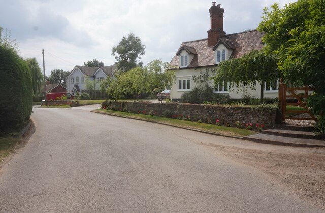
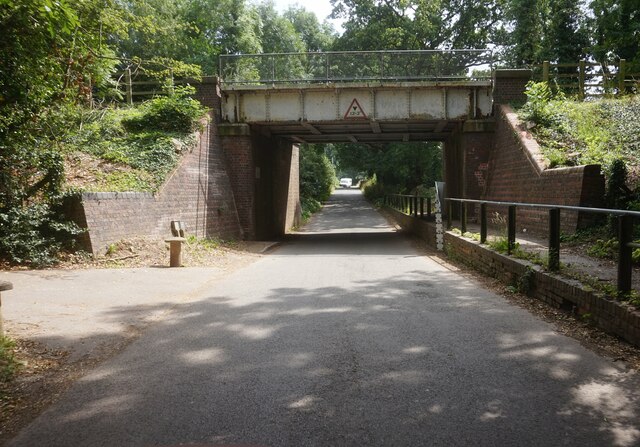
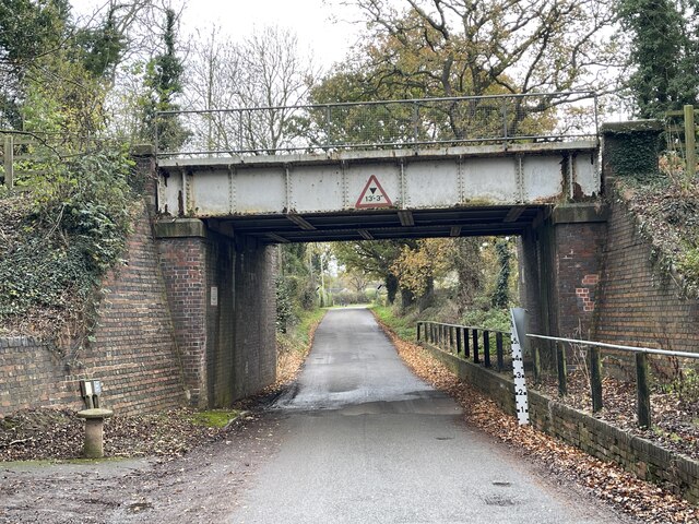
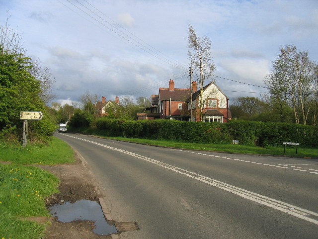
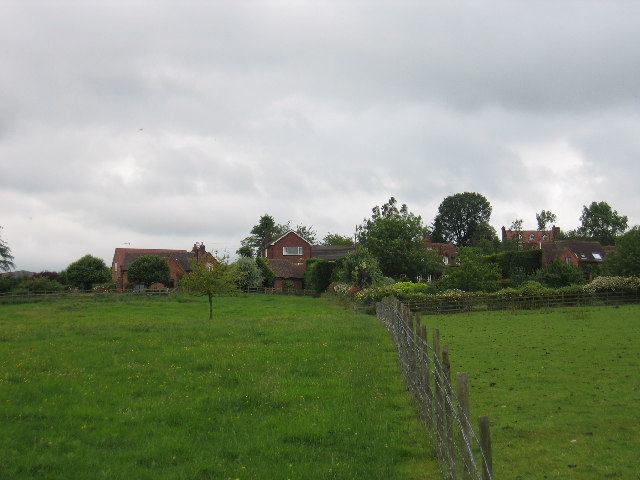
Ashen Coppice is a picturesque woodland area located in Warwickshire, England. Covering approximately 100 acres, it is known for its dense vegetation and diverse wildlife. The coppice is situated near the village of Ash Green, and is easily accessible to visitors from nearby towns and cities.

The woodland is predominantly composed of deciduous trees, including oak, ash, and birch. These towering trees create a dense canopy, providing a cool and shady environment, especially during the summer months. Walking through the woodland, visitors can admire the vibrant colors of the changing leaves during autumn, making it a popular spot for nature enthusiasts and photographers.

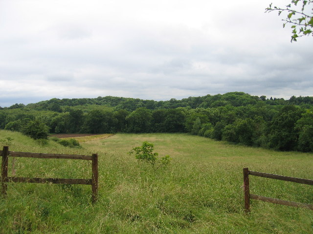
Ashen Coppice is home to a wide variety of plant and animal species. The forest floor is carpeted with ferns, bluebells, and other wildflowers, creating a beautiful display of colors and scents. Wildlife such as deer, squirrels, foxes, and a range of bird species can also be spotted in the area, making it a haven for nature lovers and birdwatchers.

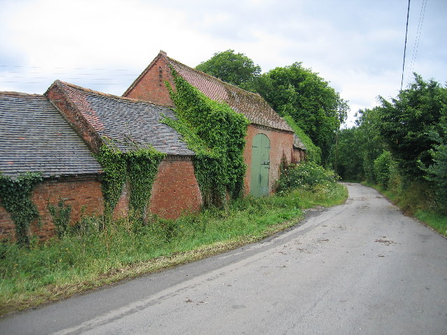
The woodland is crisscrossed with a network of well-maintained footpaths, allowing visitors to explore its natural beauty at their own pace. There are also picnic areas and benches scattered throughout the coppice, providing a peaceful setting for visitors to relax and enjoy a picnic amidst nature.

Overall, Ashen Coppice in Warwickshire is a tranquil and enchanting woodland, offering a sanctuary for both flora and fauna. Its natural beauty, diverse ecosystem, and accessibility make it a popular destination for locals and tourists alike.

If you have any feedback on the listing, please let us know in the comments section below.

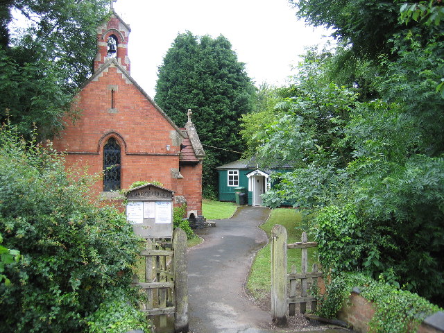
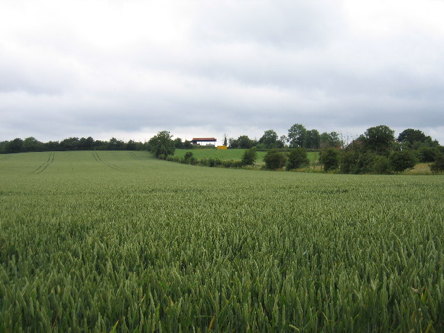
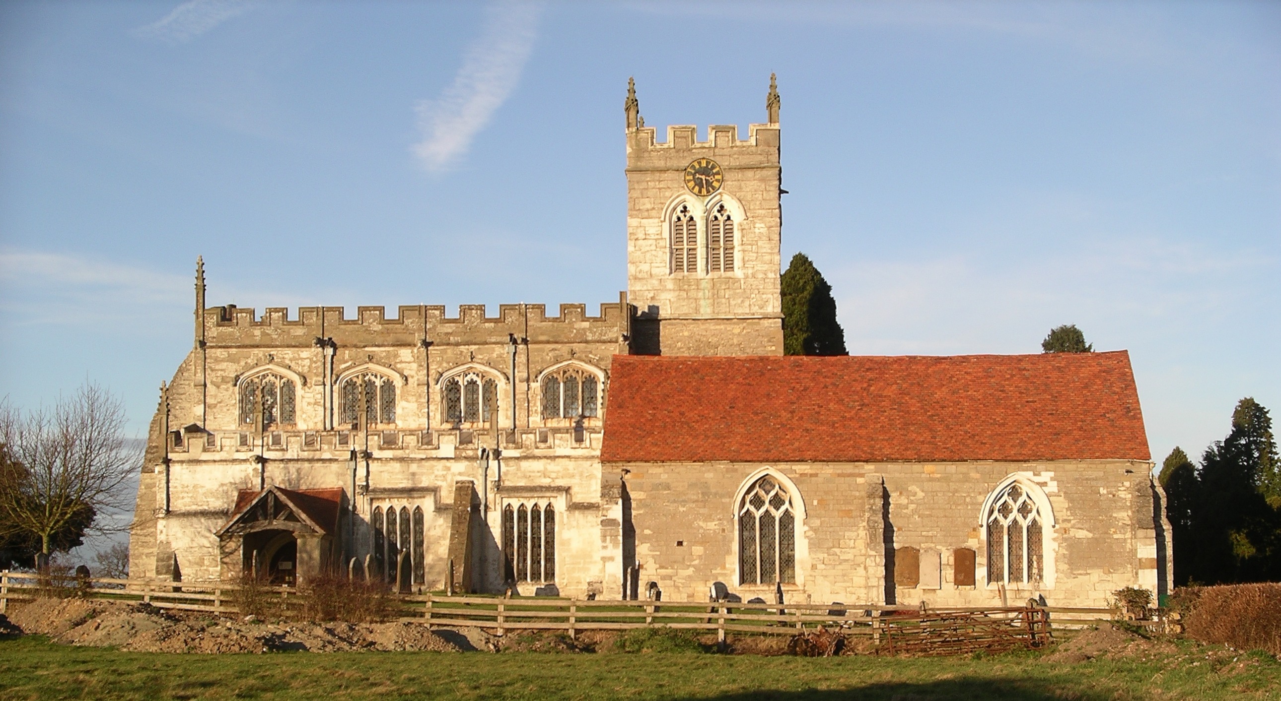
Ashen Coppice Images

Images are sourced within 2km of 52.266604/-1.7410457 or Grid Reference SP1763. Thanks to Geograph Open Source API. All images are credited.

Navigation Garage, Wootton Wawen
Langley Road towards Kington Lane
Langley near Yew Tree Farm
Langley Road, Langley
House at Langley
House at Langley
Houses at Langley
Houses at Langley
Railway Bridge on Ford Lane, Langley Green
Langley Church
Langley Church
Langley Green Ford This is a second ford at Langley Green on the road beneath the railway bridge. An image of the adjacent ford a few metres down the road can be viewed at:
<a title="https://www.geograph.org.uk/photo/2980388" href="https://www.geograph.org.uk/photo/2980388">Link</a>
Langley Green Ford
This is a second ford at Langley Green on the road beneath the railway bridge. An image of the adjacent ford a few metres down the road can be viewed at: Link
Canal Bridge Plaque, Wootton Wawen At the SW end of the Aqueduct on the far bank. The context view is <a href="https://www.geograph.org.uk/photo/6380357">SP1562 : Stratford Canal - Wootton Wawen aqueduct</a> and a similar plaque is placed facing the road <a href="https://www.geograph.org.uk/photo/6670973">SP1562 : Wootton Wawen Aqueduct</a> on the metal sides of the canal channel.

Inscription: This Aqueduct / was erected by / the Stratford Canal Comp.y / in October 1813 / 
Bernard Dews Esqᴿ Chairman / W James Esqᴿ Dep.y Chairman / W Whitmore Engineer

Milestone Society National ID: WA_WWAWEN01br
Canal Bridge Plaque, Wootton Wawen
At the SW end of the Aqueduct on the far bank. The context view is SP1562 : Stratford Canal - Wootton Wawen aqueduct and a similar plaque is placed facing the road SP1562 : Wootton Wawen Aqueduct on the metal sides of the canal channel. Inscription: This Aqueduct / was erected by / the Stratford Canal Comp.y / in October 1813 / Bernard Dews Esqᴿ Chairman / W James Esqᴿ Dep.y Chairman / W Whitmore Engineer Milestone Society National ID: WA_WWAWEN01br
Weight Limit Plate, Stratford Canal, Wootton Wawen Just North of the Wootton Aqueduct and wharf, on the far side against the abutment of a split arch bridge.
For the close-up of the plate see <a href="https://www.geograph.org.uk/photo/3363503">SP1663 : Bridge restrictions sign near Wootton Wawen, Warwickshire</a>

Milestone Society National ID: WA_WWAWEN02br
Weight Limit Plate, Stratford Canal, Wootton Wawen
Just North of the Wootton Aqueduct and wharf, on the far side against the abutment of a split arch bridge. For the close-up of the plate see SP1663 : Bridge restrictions sign near Wootton Wawen, Warwickshire Milestone Society National ID: WA_WWAWEN02br
Information Post, Mile Marker, Wootton Wawen The information post includes mile plates. The original mile marker might well have been the 
metal broadgauge post (from Brunel's wide gauge rails) to the NE against the parapet of the aqueduct,
see <a href="https://www.geograph.org.uk/photo/6380357">SP1562 : Stratford Canal - Wootton Wawen aqueduct</a>. These iron posts have been seen at other likely mile marker positions.

Inscription: ← / Edstone Aqueduct / 1.5 miles/2.5 km / Yarndale Aqueduct / 3 miles/5 km / → //
→  / Birmingham / 24 miles/38.5 km / Stratford-upon-Avon / 7 miles/11 km / ← 

Milestone Society National ID: tbc
Information Post, Mile Marker, Wootton Wawen
The information post includes mile plates. The original mile marker might well have been the metal broadgauge post (from Brunel's wide gauge rails) to the NE against the parapet of the aqueduct, see SP1562 : Stratford Canal - Wootton Wawen aqueduct. These iron posts have been seen at other likely mile marker positions. Inscription: ← / Edstone Aqueduct / 1.5 miles/2.5 km / Yarndale Aqueduct / 3 miles/5 km / → // → / Birmingham / 24 miles/38.5 km / Stratford-upon-Avon / 7 miles/11 km / ← Milestone Society National ID: tbc
Barnmoor Green The Henley in Arden road and the junction with the lane to Kington Grange
Barnmoor Green
The Henley in Arden road and the junction with the lane to Kington Grange
Barns of Kington Grange The actual Grange is hidden away behind high walls and all that can be seen from Kington Lane are these sturdy old farm buildings.
Barns of Kington Grange
The actual Grange is hidden away behind high walls and all that can be seen from Kington Lane are these sturdy old farm buildings.
Tattle Bank Looking westwards across the square to the woods on Tattle Bank from Langley Road near Claverdon.
Tattle Bank
Looking westwards across the square to the woods on Tattle Bank from Langley Road near Claverdon.
Langley Cottages and Yew Tree Farm seen from the public footpath runs across the fields north westerly from the main village
Langley
Cottages and Yew Tree Farm seen from the public footpath runs across the fields north westerly from the main village
Langley The small Church of St Mary in the middle of the village and the church hall.
Langley
The small Church of St Mary in the middle of the village and the church hall.
Langley A view northwards from the public footpath which provides access to this uninhabited square. The barns on the skyline belong to Hill Farm on the edge of the next square to the north.
Langley
A view northwards from the public footpath which provides access to this uninhabited square. The barns on the skyline belong to Hill Farm on the edge of the next square to the north.
Show me another place!

Ashen Coppice is located at Grid Ref: SP1763 (Lat: 52.266604, Lng: -1.7410457)

Administrative County: Warwickshire

District: Stratford-on-Avon

Police Authority: Warwickshire

What 3 Words

///organist.straw.mailbox. Near Henley in Arden, Warwickshire

Related Wikis

Langley, Warwickshire

Langley is a village and civil parish in the Stratford-on-Avon district of Warwickshire, England. The village is about 6 miles (10 km) west from the county...

Barnmoor Green

Barnmoor Green is a village in Warwickshire, England. For populations details see Claverdon.

Wootton Wawen Aqueduct

Wootton Wawen Aqueduct is one of three aqueducts on a 6 km length of the Stratford-upon-Avon Canal in Warwickshire. All are unusual in that the towpaths...

Bearley railway station

Bearley railway station serves the village of Bearley in South Warwickshire, England. It is on the Leamington–Stratford line. Today it is an unstaffed...

Claverdon

Claverdon is a village and civil parish in the Stratford-on-Avon district of Warwickshire, England, about 5 miles (8.0 km) west of the county town of Warwick...

Wootton Wawen

Wootton Wawen is a village and civil parish in the Stratford-on-Avon district of Warwickshire, England. The village is on the A3400 in mid-western Warwickshire...

Bearley

Bearley is a village and civil parish in the Stratford-on-Avon district of Warwickshire, England. The village is about five miles (8 km) north of Stratford...

Edstone Aqueduct

Edstone Aqueduct is one of three aqueducts on a 4 miles (6 km) length of the Stratford-upon-Avon Canal in Warwickshire. All are unusual in that the towpaths...

Nearby Amenities

Located within 500m of 52.266604,-1.7410457
Power: pole
Source: Warwicks CC Aerial Imagery 2013
Lat/Long: 52.2636038/-1.7382719
Power: pole
Source: Warwicks CC Aerial Imagery 2013
Lat/Long: 52.2644443/-1.7395245
Power: pole
Source: Warwicks CC Aerial Imagery 2013
Lat/Long: 52.2644714/-1.7404083
Power: pole
Source: Warwicks CC Aerial Imagery 2013
Lat/Long: 52.2645009/-1.7417843
Power: pole
Source: bing
Lat/Long: 52.2661236/-1.7445946
Power: pole
Source: bing
Lat/Long: 52.2671101/-1.7461154
Power: pole
Source: bing
Lat/Long: 52.2678192/-1.7472124
Power: pole
Source: bing
Lat/Long: 52.2655573/-1.7437175
Power: pole
Source: bing
Lat/Long: 52.2648908/-1.7425051
Power: pole
Source: bing
Lat/Long: 52.269999/-1.7402118
Power: pole
Source: bing
Lat/Long: 52.2692981/-1.7417085
Power: pole
Source: bing
Lat/Long: 52.2687155/-1.7428324
Power: pole
Source: bing
Lat/Long: 52.2681508/-1.7439643
The data included in this document is from www.openstreetmap.org. The data is made available under ODbL.

Have you been to Ashen Coppice?

Leave your review of Ashen Coppice below (or comments, questions and feedback).