Gorse Wood

Wood, Forest in Warwickshire Warwick

England

Gorse Wood

Drawbridge Farm Bridge, Stratford Canal A hired narrowboat approached bridge 28, one of three lift bridges on the northern section of the Stratford Canal between King's Norton Junction and Kingswood Junction. The bridge is operated by boaters using a windlass.
Drawbridge Farm Bridge, Stratford Canal Credit: Stephen McKay

Gorse Wood, located in Warwickshire, is a picturesque wood and forest area that covers a vast expanse of land measuring approximately 500 acres. This beautiful woodland is known for its rich biodiversity and breathtaking natural beauty, making it a popular destination for nature lovers and outdoor enthusiasts.

The wood is predominantly comprised of gorse bushes, which give the area its name. These vibrant yellow flowers bloom during the spring and summer months, creating a stunning display of color across the landscape. In addition to gorse, the wood is also home to a variety of other tree species, including oak, birch, and pine.

Gorse Wood boasts numerous walking trails and paths, allowing visitors to explore its diverse habitats and enjoy the tranquility of the surroundings. The wood is a haven for wildlife, with many species of birds, mammals, and insects calling it home. Birdwatchers will delight in the opportunity to spot rare species such as the lesser spotted woodpecker and the tawny owl.

For those seeking adventure, Gorse Wood offers a range of activities including mountain biking and horse riding. The well-maintained trails provide a thrilling experience for outdoor enthusiasts of all skill levels.

In addition to its natural beauty, Gorse Wood also holds historical significance. The remains of an Iron Age hillfort can be found within the wood, adding an element of intrigue and mystery to the area.

Overall, Gorse Wood is a captivating destination that offers a blend of natural wonders, recreational activities, and historical intrigue. Whether one is seeking solitude amidst nature or an exhilarating outdoor adventure, this woodland in Warwickshire has something to offer for everyone.

If you have any feedback on the listing, please let us know in the comments section below.
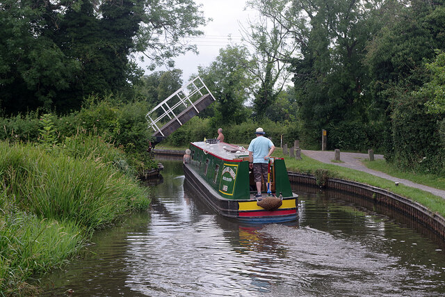
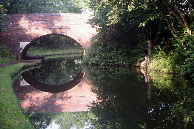
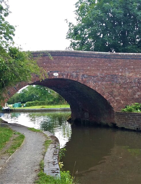
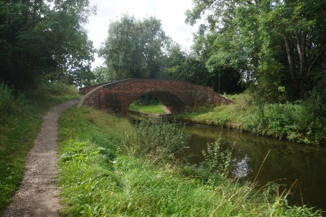
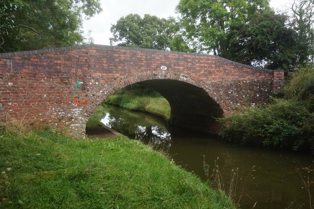
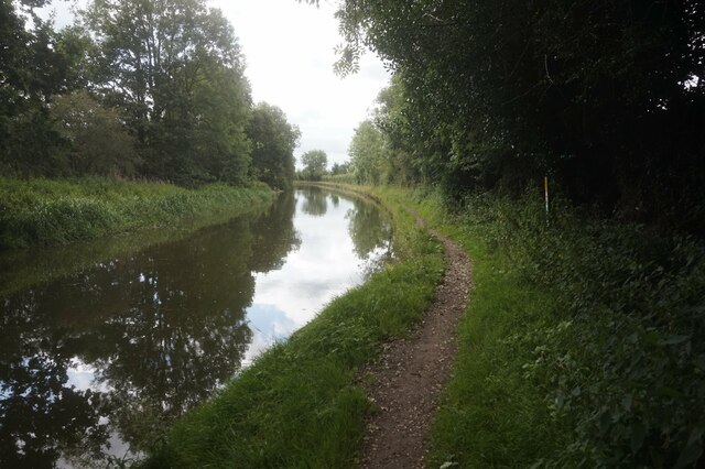
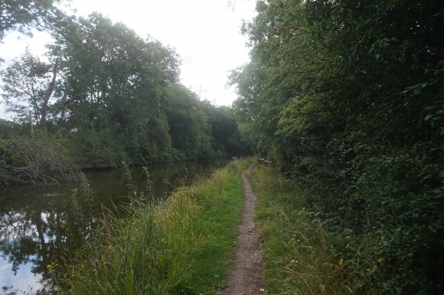
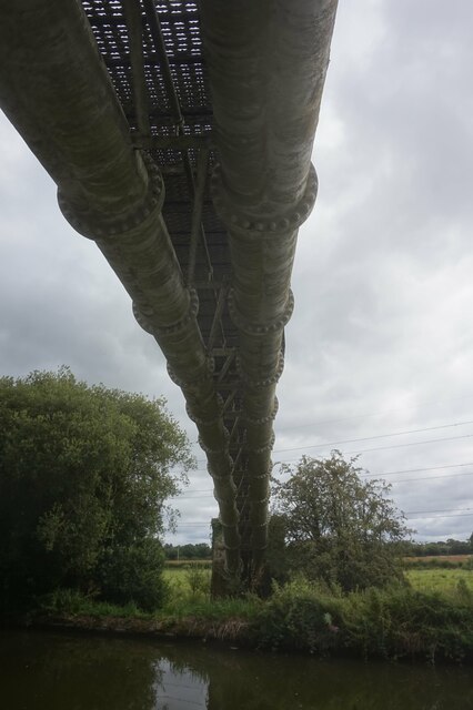
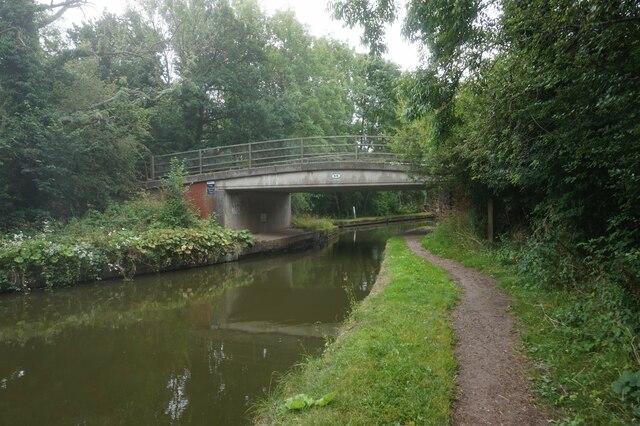
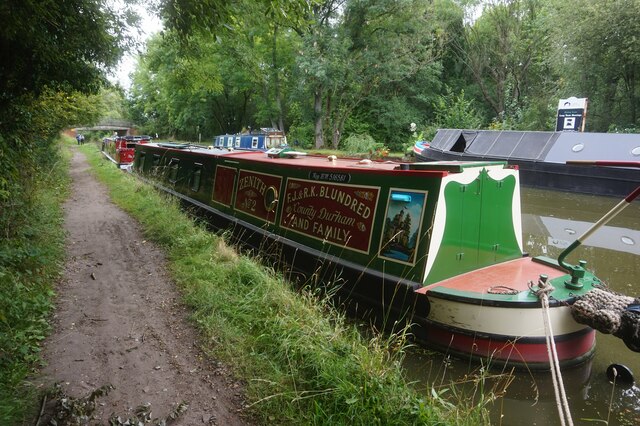
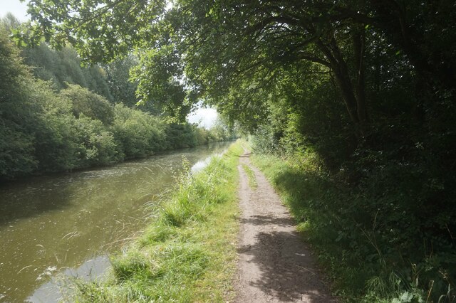
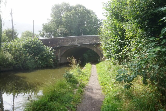
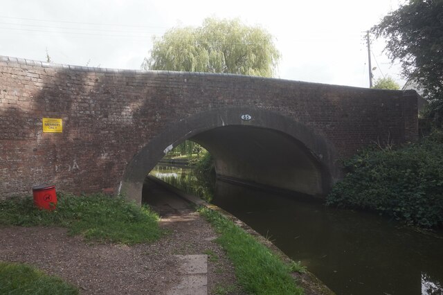
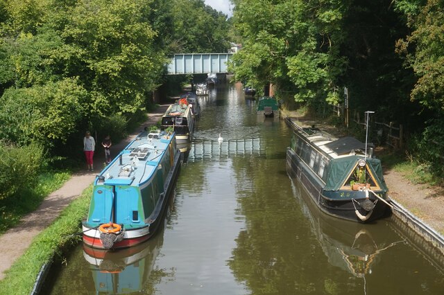
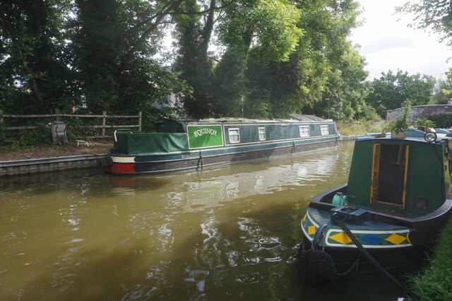
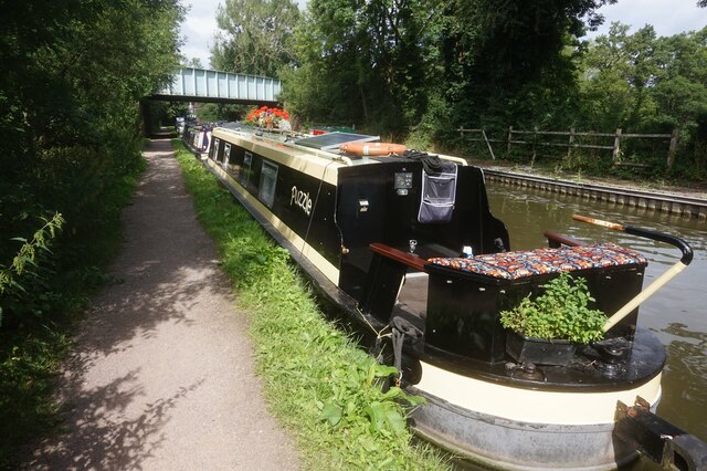
Gorse Wood Images

Images are sourced within 2km of 52.349432/-1.7413112 or Grid Reference SP1772. Thanks to Geograph Open Source API. All images are credited.

Drawbridge Farm Bridge, Stratford Canal A hired narrowboat approached bridge 28, one of three lift bridges on the northern section of the Stratford Canal between King's Norton Junction and Kingswood Junction. The bridge is operated by boaters using a windlass.
Drawbridge Farm Bridge, Stratford Canal
A hired narrowboat approached bridge 28, one of three lift bridges on the northern section of the Stratford Canal between King's Norton Junction and Kingswood Junction. The bridge is operated by boaters using a windlass.
Bridge 31, Stratford Canal Early morning sunshine has created a near perfect reflection of the bridge in the canal water. Bridge 31 is located between locks 5 and 6 on the Lapworth Flight.
Bridge 31, Stratford Canal
Early morning sunshine has created a near perfect reflection of the bridge in the canal water. Bridge 31 is located between locks 5 and 6 on the Lapworth Flight.
Bridge 27, Stratford-upon-Avon Canal
Grand Union Canal towards bridge #67
Grand Union Canal at Lapworth Turnover Bridge, bridge #67
Grand Union Canal towards bridge #66
Pipes over the Grand Union Canal near bridge #66
Grand Union Canal towards bridge #66
Grand Union Canal at Rising Lane Bridge, bridge 66
Canal boat Zenith #2, Grand Union Canal
Grand Union Canal towards bridge #65
Grand Union Canal at Old Warwick Road Bridge, bridge #65
Kingswood Arm off the Grand Union Canal
Canal Boat Equinox, Kingswood Arm
Canal Boat Puzzle, Kingswood Arm
Show me another place!

Gorse Wood is located at Grid Ref: SP1772 (Lat: 52.349432, Lng: -1.7413112)

Administrative County: Warwickshire

District: Warwick

Police Authority: Warwickshire

What 3 Words

///tools.rivers.bloodshot. Near Hockley Heath, West Midlands

Related Wikis

Nearby Amenities

Located within 500m of 52.349432,-1.7413112
Entrance: yes
Source: survey
Lat/Long: 52.3480786/-1.7463086
Entrance: main
Lat/Long: 52.3477904/-1.7466492
Cafe
The Garden Kitchen
Dog: no
Operator: National Trust
Lat/Long: 52.3489347/-1.7454763
Toilets
Access: customers
Changing Table: yes
Fee: no
Operator: National Trust
Operator Type: charitable
Operator Wikidata: Q333515
Source: survey
Toilets Disposal: flush
Lat/Long: 52.3488391/-1.746079
Defibrillator
Emergency: defibrillator
Ref GB The Circuit: F0D53314-A80D-4CB1-AE90-9BB95D41980B
Source: survey
Lat/Long: 52.3490429/-1.745723
Entrance: yes
Lat/Long: 52.348879/-1.7457609
Sundials Gift Shop
Operator: National Trust
Shop: gift
Lat/Long: 52.3479599/-1.7463992
Shop: ticket
Lat/Long: 52.3488986/-1.7456747
Power: pole
Source: bing
Lat/Long: 52.3459204/-1.7378354
Power: pole
Source: bing
Lat/Long: 52.3465807/-1.7375994
Power: pole
Source: bing
Lat/Long: 52.3473295/-1.7373419
Power: pole
Source: bing
Lat/Long: 52.348075/-1.7370871
Power: pole
Source: bing
Lat/Long: 52.3488402/-1.7368403
Power: pole
Source: bing
Lat/Long: 52.3495955/-1.7365882
Power: pole
Source: bing
Lat/Long: 52.3504049/-1.7368537
Power: pole
Source: bing
Lat/Long: 52.3511913/-1.7371193
Power: pole
Source: bing
Lat/Long: 52.3519793/-1.7373794
Power: pole
Source: bing
Lat/Long: 52.3527641/-1.7376316
Power: pole
Source: bing
Lat/Long: 52.3464021/-1.7415261
Power: pole
Source: bing
Lat/Long: 52.3454903/-1.7437282
Power: pole
Source: bing
Lat/Long: 52.3455976/-1.742603
Power: pole
Source: bing
Lat/Long: 52.3472165/-1.7403942
Power: pole
Source: bing
Lat/Long: 52.3472648/-1.7389901
Crossing
Lat/Long: 52.34627/-1.7446796
Pipeline: valve
Lat/Long: 52.3474734/-1.7478744
The data included in this document is from www.openstreetmap.org. The data is made available under ODbL.

Have you been to Gorse Wood?

Leave your review of Gorse Wood below (or comments, questions and feedback).