Charlock Plantation
Wood, Forest in Yorkshire Richmondshire
England
Charlock Plantation

Charlock Plantation is a picturesque woodland located in Yorkshire, England. It encompasses an area of approximately 100 acres and is known for its dense growth of charlock plants, which give the plantation its name. The plantation is situated within the larger Yorkshire Forest, adding to its natural beauty and biodiversity.
The charlock plants, also known as wild mustard, dominate the landscape with their vibrant yellow flowers that bloom during the summer months. They create a stunning contrast against the lush greenery of the woodland. The plantation is a popular destination for nature enthusiasts and photographers who are captivated by the vibrant colors and unique charm of the charlock plants.
Within Charlock Plantation, visitors can explore the well-maintained walking trails that wind through the woodland. These trails offer a chance to immerse oneself in nature, surrounded by towering trees and the soothing sounds of birdsong. The plantation is also home to a variety of wildlife, with sightings of deer, rabbits, and a multitude of bird species being common.
In addition to its natural beauty, Charlock Plantation offers recreational activities such as picnicking and nature photography. There are designated picnic areas with benches and tables, providing a perfect spot to relax and enjoy the peaceful ambiance of the woodland. Photographers will find ample opportunities to capture stunning images of the charlock plants, as well as the diverse wildlife that inhabits the area.
Overall, Charlock Plantation in Yorkshire is a serene and enchanting destination for nature lovers, offering a unique experience amidst the vibrant beauty of the charlock plants and the tranquility of the Yorkshire Forest.
If you have any feedback on the listing, please let us know in the comments section below.
Charlock Plantation Images
Images are sourced within 2km of 54.415573/-1.7292751 or Grid Reference NZ1702. Thanks to Geograph Open Source API. All images are credited.


Charlock Plantation is located at Grid Ref: NZ1702 (Lat: 54.415573, Lng: -1.7292751)
Division: North Riding
Administrative County: North Yorkshire
District: Richmondshire
Police Authority: North Yorkshire
What 3 Words
///noodle.appoints.seat. Near Richmond, North Yorkshire
Nearby Locations
Related Wikis

Richmond Barracks, North Yorkshire
Richmond Barracks was a military installation in Richmond, North Yorkshire. == History == The barracks were built as the depot of the two battalions of...

St Francis Xavier School, North Yorkshire
St. Francis Xavier School is a coeducational secondary school situated on Darlington Road, Richmond, North Yorkshire, England. It is a joint Roman Catholic...

Richmond School
Richmond School & Sixth Form College, often referred to simply as Richmond School, is a coeducational secondary school located in North Yorkshire, England...

Aske Hall
Aske Hall is a Georgian country house, with parkland attributed to Capability Brown, 1.5 miles (2.4 km) north of Richmond, North Yorkshire, England. It...
Aske, North Yorkshire
Aske is a civil parish in the Richmondshire district of North Yorkshire, England, about two miles north of Richmond. According to the 2001 census it had...

Victoria Hospital, Richmond
The Victoria Hospital was a health facility in Queen's Road, Richmond, North Yorkshire, England. It is now used as a funeral director's offices and remains...

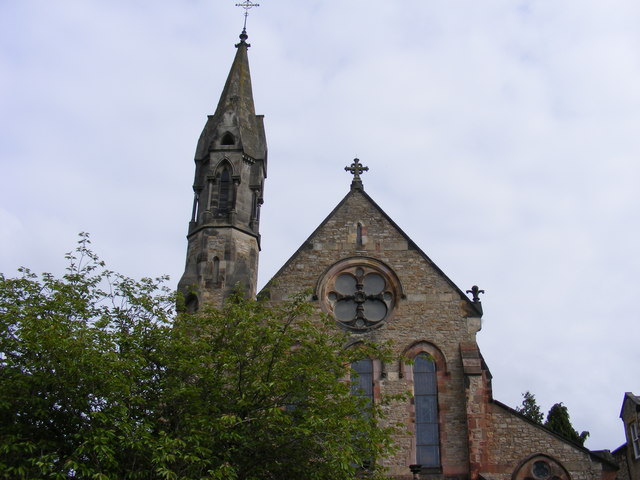
Church of St Mary the Virgin, Richmond
The Church of St Mary the Virgin, Richmond, is the Anglican parish church in the town of Richmond in North Yorkshire, England. Previously, there was another...
Friary Community Hospital
The Friary Community Hospital is a health facility in Queen's Road, Richmond, North Yorkshire, England. It is managed by South Tees Hospitals NHS Foundation...
Nearby Amenities
Located within 500m of 54.415573,-1.7292751Have you been to Charlock Plantation?
Leave your review of Charlock Plantation below (or comments, questions and feedback).