Brow Wood
Wood, Forest in Yorkshire Harrogate
England
Brow Wood

Brow Wood is a picturesque woodland located in Yorkshire, England. Spread across a vast area, this forest is known for its natural beauty and rich biodiversity. It is situated on the brow of a gentle hill, offering breathtaking panoramic views of the surrounding countryside.
The wood is predominantly composed of deciduous trees, including oak, beech, and ash. These majestic trees create a dense canopy, providing shade and shelter to a variety of flora and fauna that call Brow Wood their home. It is particularly renowned for its vibrant display of wildflowers during the spring season.
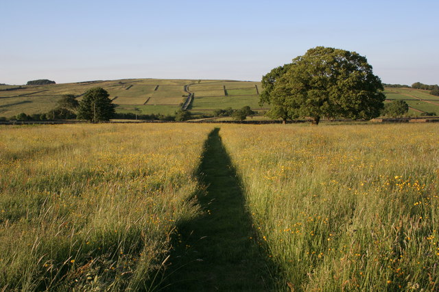
Walking through Brow Wood is a delightful experience for nature enthusiasts and hikers alike. The forest is crisscrossed by well-maintained footpaths, allowing visitors to explore its hidden treasures. Streams meander through the wood, enhancing its natural charm and providing a serene ambiance.
The diverse wildlife in Brow Wood is another highlight of this natural haven. It is home to numerous species of birds, including woodpeckers, owls, and songbirds, making it a popular spot for birdwatching. Squirrels, rabbits, and deer are also frequently spotted, adding to the enchantment of the woodland.
Brow Wood is not only a sanctuary for wildlife but also a place of recreational activities. It offers opportunities for picnicking, camping, and photography, attracting visitors from near and far. The forest is well-managed and has designated areas for these activities, ensuring the preservation of its natural splendor.
In conclusion, Brow Wood in Yorkshire is a captivating forest that entices visitors with its scenic beauty, diverse flora and fauna, and recreational opportunities. It is a sanctuary where one can immerse themselves in nature and experience the tranquility of the woodlands.
If you have any feedback on the listing, please let us know in the comments section below.
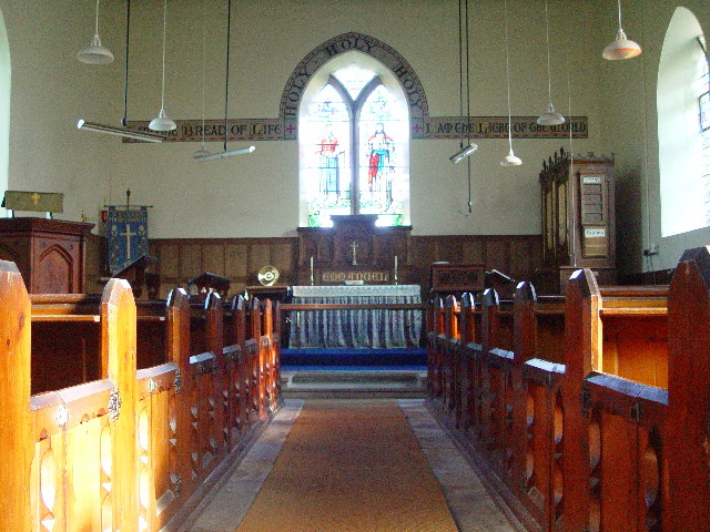
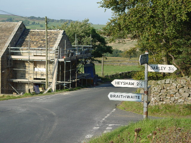
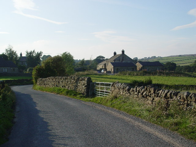
Brow Wood Images
Images are sourced within 2km of 54.024369/-1.7322164 or Grid Reference SE1758. Thanks to Geograph Open Source API. All images are credited.


Brow Wood is located at Grid Ref: SE1758 (Lat: 54.024369, Lng: -1.7322164)
Division: West Riding
Administrative County: North Yorkshire
District: Harrogate
Police Authority: North Yorkshire
What 3 Words
///capacity.backtrack.economies. Near Pateley Bridge, North Yorkshire
Nearby Locations
Related Wikis

Thornthwaite, North Yorkshire
Thornthwaite is a small village in the Harrogate district of North Yorkshire, England. It lies in the valley of Padside Beck, a side valley on the south...

HMS Forest Moor
HMS Forest Moor was a Royal Navy land base located in Nidderdale in the borough of Harrogate, North Yorkshire, England. == History == The establishment...

Thruscross
Thruscross is a small settlement and civil parish in the Harrogate district of North Yorkshire, England. It lies in the Washburn Valley, 11 miles (18...

Dacre, North Yorkshire
Dacre is a village and civil parish in the Harrogate district of North Yorkshire, England, it is 5 miles south of Pateley Bridge. In the 2001 census the...

Thruscross Reservoir
Thruscross Reservoir is the northernmost of four reservoirs in the Washburn valley, lying north of Otley and west of Harrogate in North Yorkshire, England...

Darley, North Yorkshire
Darley is a linear village in Nidderdale in the Harrogate district of North Yorkshire, England. The population as at the 2011 Census is 1,332 and is included...
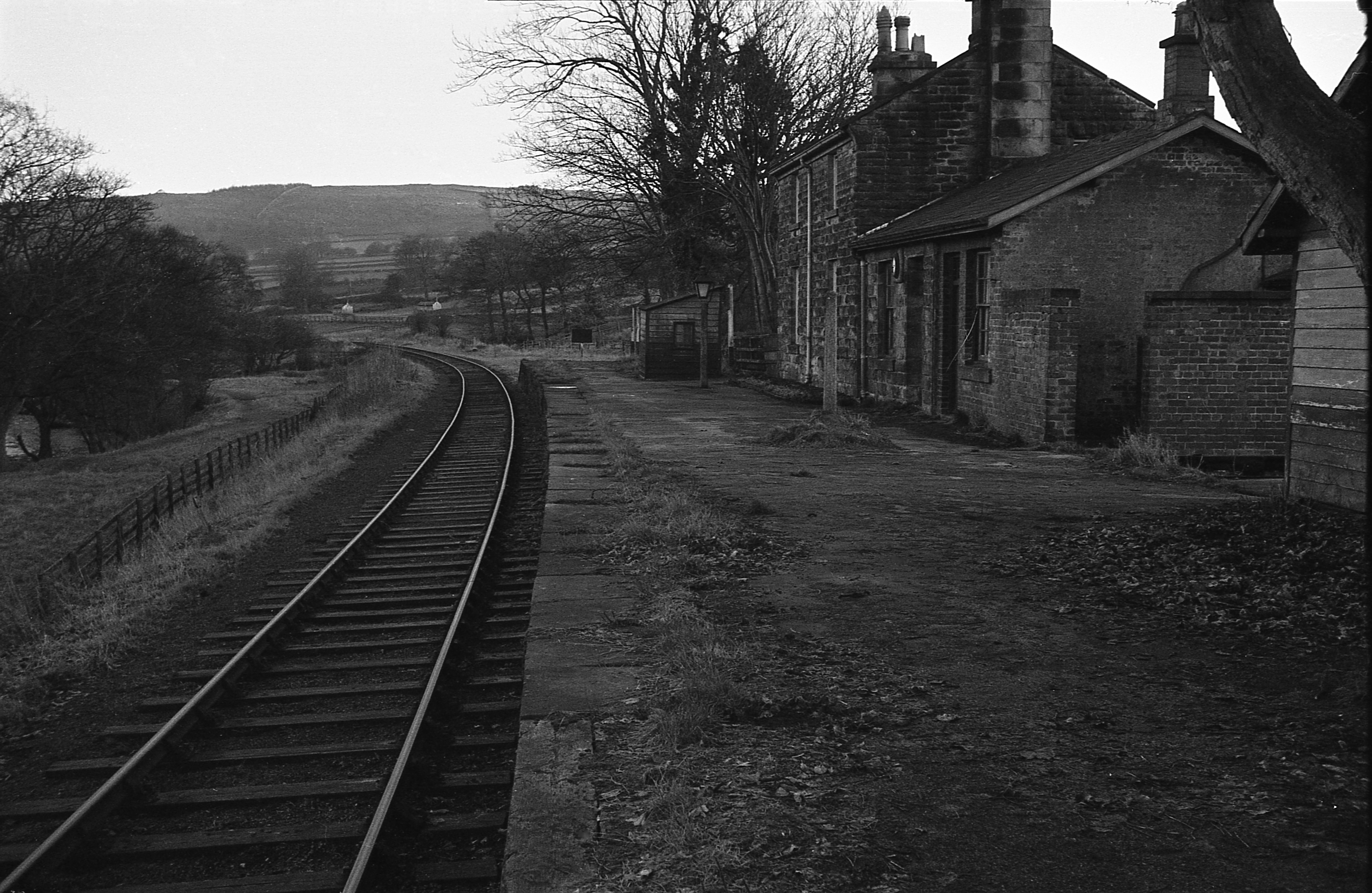
Darley railway station
Darley railway station served the village of Darley, North Yorkshire, England from 1864 to 1951 on the Nidd Valley Railway. == History == The station was...
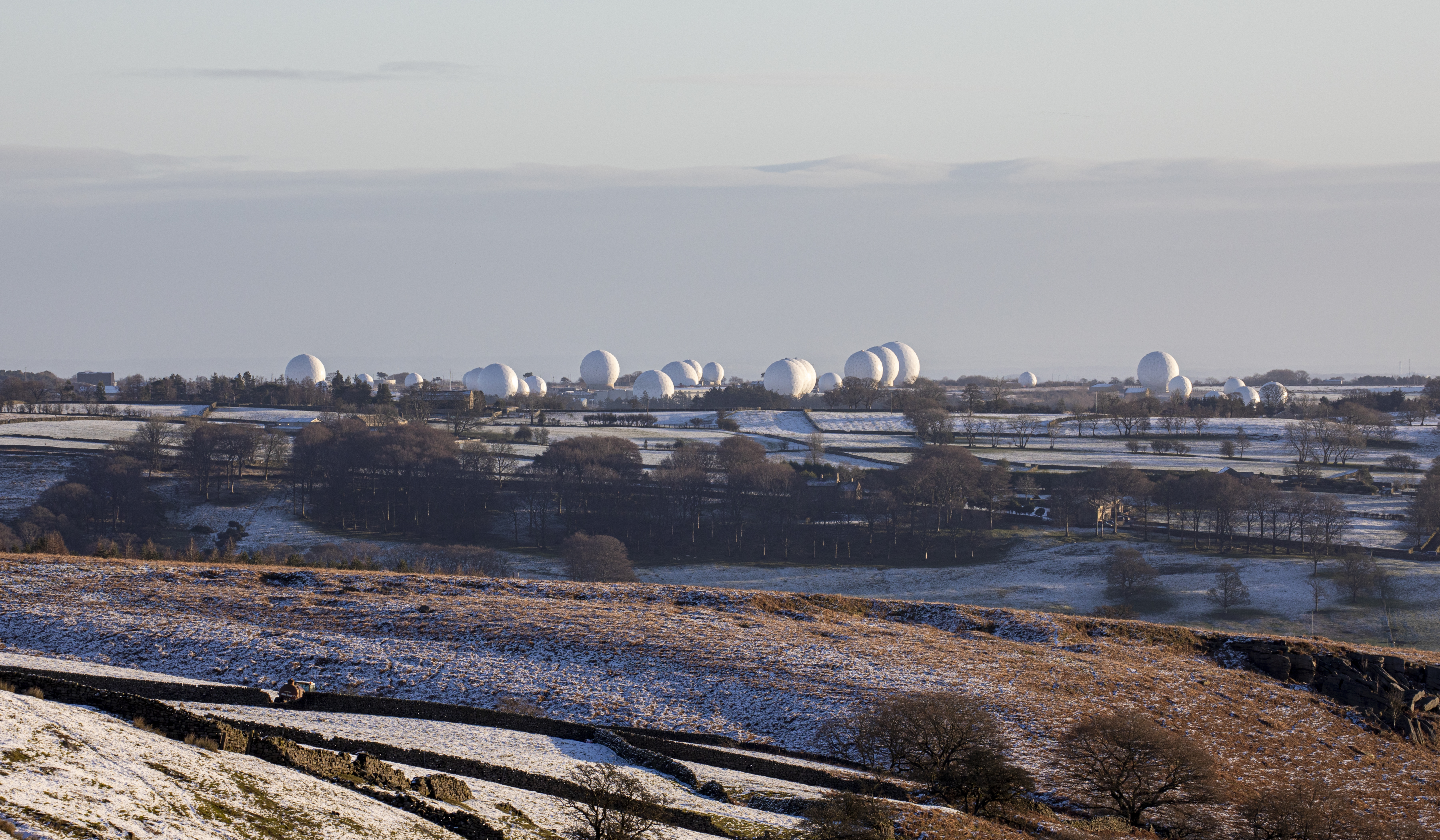
RAF Menwith Hill
Royal Air Force Menwith Hill or more simply RAF Menwith Hill is a Royal Air Force station near Harrogate, North Yorkshire, England, which provides communications...
Nearby Amenities
Located within 500m of 54.024369,-1.7322164Have you been to Brow Wood?
Leave your review of Brow Wood below (or comments, questions and feedback).