Beech Nut
Wood, Forest in Gloucestershire Stratford-on-Avon
England
Beech Nut

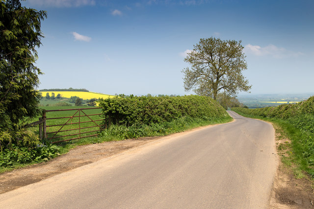
Beech Nut, Gloucestershire is a woodland area located in the southwestern part of England, specifically in the county of Gloucestershire. It is a serene and picturesque forest that covers a significant area of land. The name "Beech Nut" is derived from the abundant presence of beech trees in the area, which contribute to its unique character.
The forest is known for its diverse ecosystem, offering a wide range of flora and fauna. The beech trees dominate the landscape, with their tall and majestic presence, providing shade and shelter to many other species. The forest floor is covered in a thick carpet of moss and wildflowers, creating a vibrant and colorful environment.
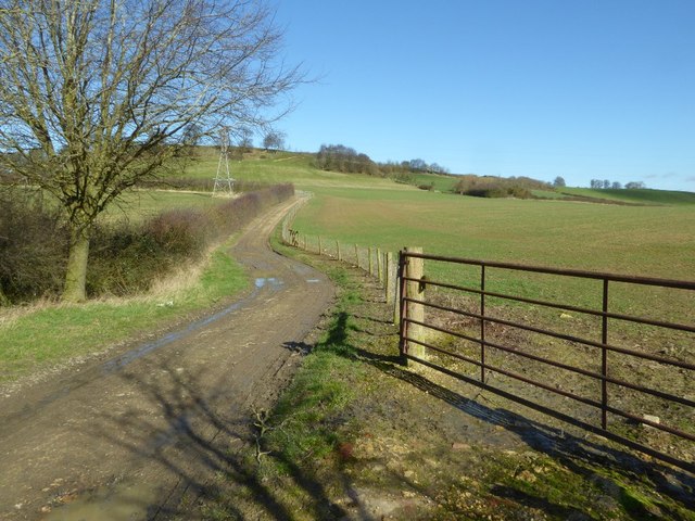
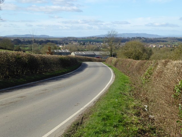
Beech Nut is a popular destination for nature enthusiasts and hikers, offering numerous trails and paths that wind through the forest. These paths provide an opportunity to explore the natural beauty of the area, with scenic views and encounters with wildlife along the way.
In addition to its natural beauty, Beech Nut also holds historical significance. The forest has been a part of the Gloucestershire landscape for centuries and has witnessed various historical events. It is not uncommon to come across remnants of ancient structures or archaeological sites as you explore the area.
Overall, Beech Nut, Gloucestershire is a captivating woodland that offers a tranquil escape from the hustle and bustle of city life. Its lush greenery, diverse wildlife, and historical elements make it a must-visit destination for nature lovers and history enthusiasts alike.
If you have any feedback on the listing, please let us know in the comments section below.
Beech Nut Images
Images are sourced within 2km of 52.102159/-1.744845 or Grid Reference SP1744. Thanks to Geograph Open Source API. All images are credited.


Beech Nut is located at Grid Ref: SP1744 (Lat: 52.102159, Lng: -1.744845)
Administrative County: Warwickshire
District: Stratford-on-Avon
Police Authority: Warwickshire
What 3 Words
///crystals.spectacle.await. Near Mickleton, Gloucestershire
Nearby Locations
Related Wikis

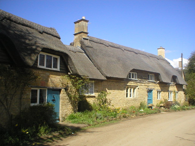
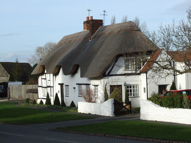
Mickleton, Gloucestershire
Mickleton is a village and civil parish in the Cotswold District of Gloucestershire, England. The village is the northernmost settlement in Gloucestershire...
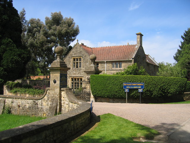
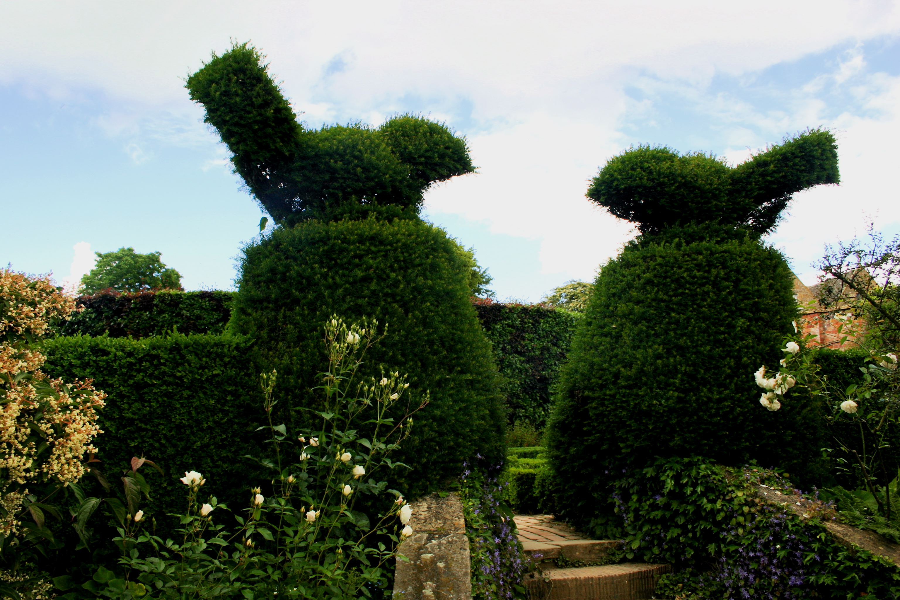
Kiftsgate Court Gardens
Kiftsgate Court Gardens is situated above the village of Mickleton in the county of Gloucestershire, England, in the far north of the county close to the...

Three Ways House Hotel
Three Ways House Hotel is a hotel in Mickleton, Gloucestershire, England. Built in 1871 as a house for a doctor, the now hotel features a weekly dining...
Hidcote Manor Garden
Hidcote Manor Garden is a garden in the United Kingdom, located at the village of Hidcote Bartrim, near Chipping Campden, Gloucestershire. It is one of...
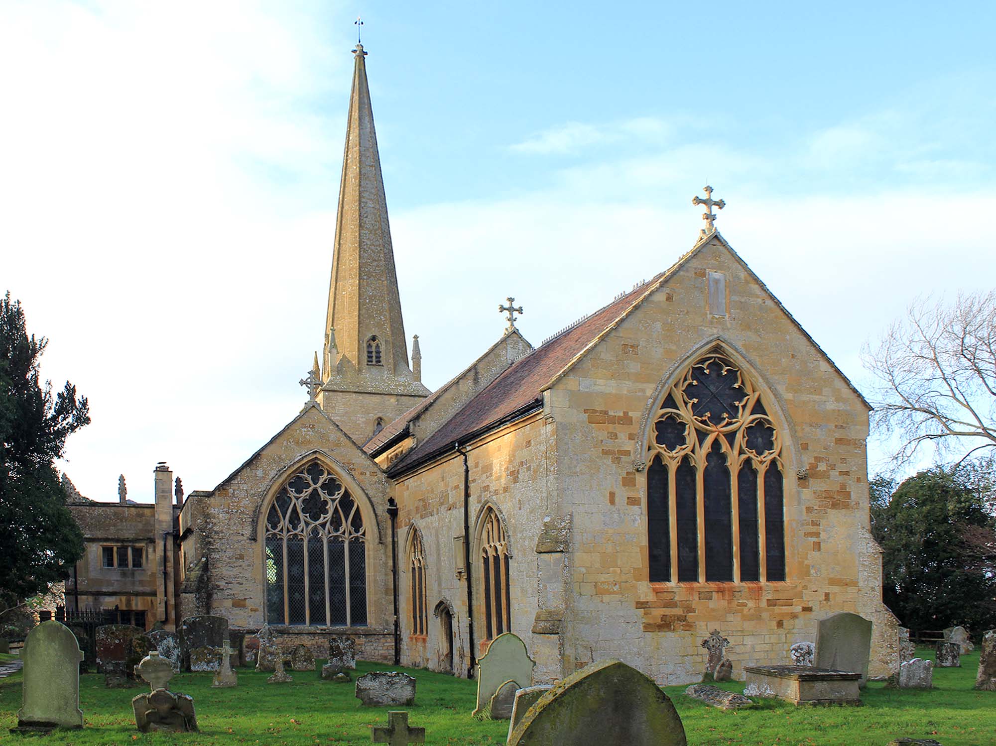
Church of St Lawrence, Mickleton
The Anglican Church of St Lawrence at Mickleton in the Cotswold District of Gloucestershire, England was built in the 12th century. It is a grade I listed...
Hidcote Bartrim
Hidcote Bartrim is a hamlet and former civil parish, now in the parish of Ebrington, in the Cotswold district of Gloucestershire, England. The nearest...
Quinton, Warwickshire
Quinton is a civil parish in the Stratford-on-Avon district of Warwickshire, England, about six miles south of Stratford-upon-Avon. According to the 2001...
Touch FM (Stratford-upon-Avon)
102 Touch FM was an Independent Local Radio station broadcasting to the town of Stratford-upon-Avon and much of the counties of Warwickshire, Worcestershire...
Nearby Amenities
Located within 500m of 52.102159,-1.744845Have you been to Beech Nut?
Leave your review of Beech Nut below (or comments, questions and feedback).