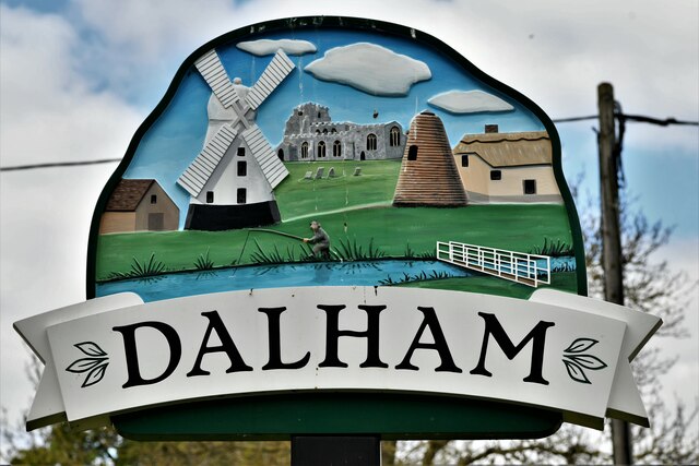
Dalham

Settlement in Suffolk West Suffolk

England

Dalham

Dunstall Green: Denham Road
Dunstall Green: Denham Road Credit: Michael Garlick

Dalham is a small village located in the county of Suffolk, England. Situated approximately 12 miles northwest of Bury St Edmunds, Dalham is a rural community with a population of around 350 residents. The village lies within the West Suffolk district and is part of the St Edmundsbury ward.

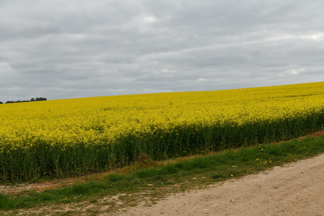
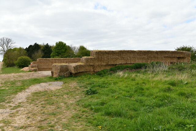
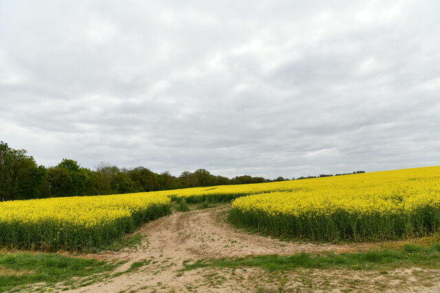
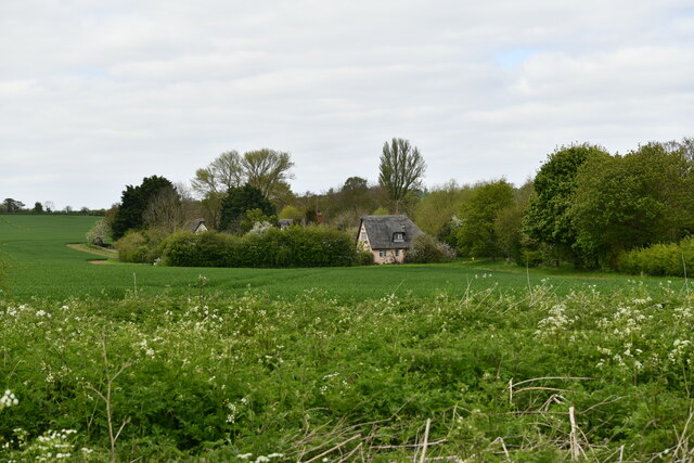
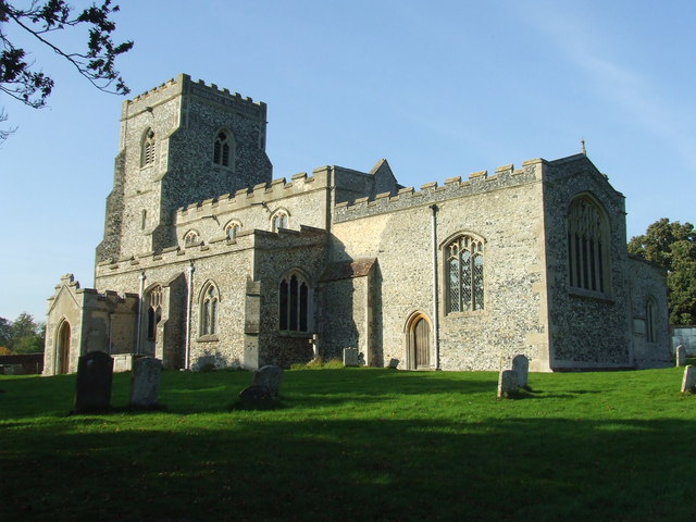
Dalham is surrounded by picturesque countryside, characterized by rolling hills, meadows, and farmland. The village itself is centered around a charming parish church, St Mary's, which dates back to the 14th century. The church serves as a focal point for the community and is renowned for its architectural beauty.

Despite its small size, Dalham has a rich history. The village was mentioned in the Domesday Book of 1086 and has retained its traditional character over the centuries. The area is also known for its horse racing heritage, with nearby Newmarket being a renowned hub for the sport.

The village offers a peaceful and idyllic lifestyle, with a strong sense of community. There are a few amenities available, including a village hall and a local pub, providing a gathering place for residents. The surrounding countryside offers ample opportunities for outdoor activities such as walking, cycling, and horse riding.

Dalham's location in the heart of Suffolk allows for easy access to nearby towns and cities. Bury St Edmunds, with its range of shops, restaurants, and cultural attractions, is just a short drive away. Overall, Dalham offers a tranquil and scenic setting, making it an attractive place to live for those seeking a rural retreat.

If you have any feedback on the listing, please let us know in the comments section below.
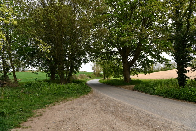
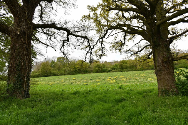
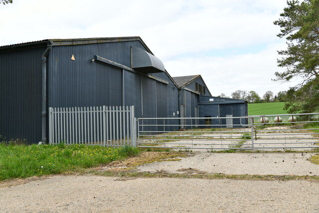
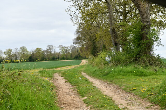
Dalham Images

Images are sourced within 2km of 52.229712/0.520718 or Grid Reference TL7262. Thanks to Geograph Open Source API. All images are credited.

Dunstall Green: Denham Road
Dalham: Fallow field with oil seed rape plants growing randomly
Dalham: Farm buildings
Dalham: Farm track with notice saying it is 'not a public right of way'
Dalham: Bridge over the River Kennett providing access to housing
Dalham: Spring Cottage
Dalham: Oil seed rape crop
Dalham: Large hardstanding area surrounded on three sides by baled hay
Dalham: Oil seed rape crop
Dalham: 46 The Street, 'The Cottar House'
Dalham: Cottages in Lidgate Road
Dalham: The Affleck Arms PH
Dalham: Village sign
Dalham: Road bridge over the River Kennett
Dalham: Ford Cottage
Dalham: Brookside
Dalham: Brookside
Denham: 30 and 32 The Street
Dalham: 40 The Street
Show me another place!

Dalham is located at Grid Ref: TL7262 (Lat: 52.229712, Lng: 0.520718)

Administrative County: Suffolk

District: West Suffolk

Police Authority: Suffolk

What 3 Words

///rating.gathering.removes. Near Newmarket, Suffolk

Related Wikis

Dalham

Dalham is a village and civil parish in the West Suffolk district of Suffolk, England. The name, meaning 'homestead/village in a valley' is of Old English...
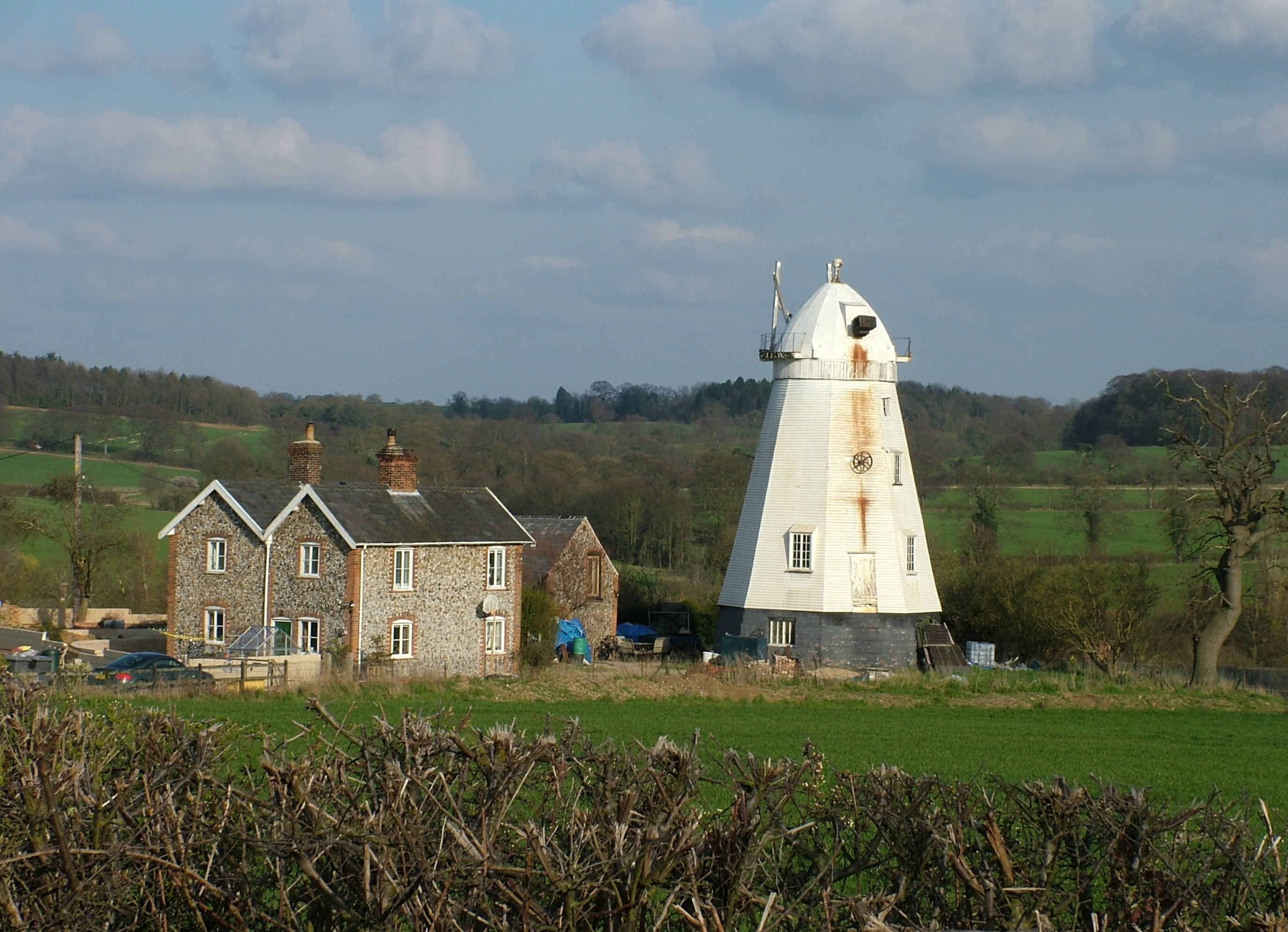
Lower Mill, Dalham

Lower Mill or Opposition Mill is a Grade II* listed smock mill at Dalham, Suffolk, England which has been preserved. == History == Lower Mill or Opposition...

Dalham Hall

Dalham Hall is a country house and 3,300-acre (13 km2) estate, located in the village of Dalham, Suffolk, near Newmarket, and 13 kilometres (8 mi) west...

Desning Hall

Desning Hall was a manor house in Risbridge Hundred, in Suffolk, England, dating from Anglo-Saxon times. Desning Hall's last resident was Sidney Arthur...

Nearby Amenities

Located within 500m of 52.229712,0.520718
Man Made: windmill
Lat/Long: 52.2263602/0.5165963
Pub
Affleck Arms
Addr Housenumber: 1
Addr Postcode: CB8 8TG
Addr Street: Brookside
Fhrs Id: 1673414
Source Addr: FSA Food Hygiene Ratings Database
Wikidata: Q26289411
Lat/Long: 52.2266036/0.5203619
Post Box
Collection Times: Mo-Fr 17:15; Sa 10:15
Operator: Royal Mail
Post Box Type: lamp
Ref: CB8 86
Royal Cypher: EIIR
Royal Cypher Wikidata: Q33102113
Source: survey
Lat/Long: 52.2262877/0.5203453
malting kiln
Tourism: attraction
Lat/Long: 52.2297355/0.5204646
Bus Stop
Affleck Arms
Naptan AtcoCode: 390020127
Naptan Bearing: W
Naptan CommonName: Affleck Arms
Naptan Indicator: adj
Naptan Landmark: Affleck Arms
Naptan NaptanCode: sufajdwg
Naptan Street: Stores Hill
Naptan Verified: no
Source: naptan_import
Lat/Long: 52.2266676/0.5206202
Affleck Arms
Naptan AtcoCode: 390020128
Naptan Bearing: S
Naptan BusStopType: CUS
Naptan CommonName: Affleck Arms
Naptan Indicator: opp
Naptan Landmark: Affleck Arms
Naptan NaptanCode: sufajdwj
Naptan Street: The Street
Naptan Verified: no
Source: naptan_import
Lat/Long: 52.2266617/0.5208981
Bus Stop
Brookside
Naptan AtcoCode: 390020386
Naptan Bearing: N
Naptan BusStopType: CUS
Naptan CommonName: Brookside
Naptan Indicator: adj
Naptan Landmark: Bridge
Naptan NaptanCode: sufjdtmd
Naptan Street: The Street
Naptan Verified: no
Source: naptan_import
Lat/Long: 52.226308/0.5206145
Bus Stop
Brookside
Naptan AtcoCode: 390020387
Naptan Bearing: S
Naptan BusStopType: CUS
Naptan CommonName: Brookside
Naptan Indicator: opp
Naptan Landmark: Bridge
Naptan NaptanCode: sufjdtmg
Naptan Street: The Street
Naptan Verified: no
Source: naptan_import
Lat/Long: 52.2262789/0.5207153
Barrier: stile
Foot: yes
Lat/Long: 52.2295038/0.5197063
Barrier: kissing_gate
Foot: yes
Lat/Long: 52.2302344/0.5206464
Barrier: kissing_gate
Foot: yes
Lat/Long: 52.2337734/0.5229835
Post Office
Dalham Post Office
Addr City: Newmarket
Addr Housename: Dalham Village Hall
Addr Postcode: CB8 8TF
Addr Street: The Street
Addr Village: Dalham
Brand: Post Office
Brand Wikidata: Q1783168
Opening Hours: We 14:00-16:00
Ref Pol Id: 24267
Source: pol_branch_list_2018-02
Lat/Long: 52.2283491/0.5210367
Telephone
Booth: K6
Covered: booth
Listed Status: Grade II
Phone: +44 1638 500331
Lat/Long: 52.2263198/0.5203554
The data included in this document is from www.openstreetmap.org. The data is made available under ODbL.

Have you been to Dalham?

Leave your review of Dalham below (or comments, questions and feedback).