Diamond Plantation

Wood, Forest in Derbyshire Derbyshire Dales

England

Diamond Plantation

Arbor Low henge - flat stones One of the earliest sites in England to have been designated a scheduled ancient monument, and one of the few to have been given a fully detailed description by Historic England (list entry 1011087), the henge consists of a stone circle within an elliptical bank and ditch (40m by 52m) with two entrances and a later bowl barrow. The immediate surrounding area contains a number of other tumuli, barrows and ancient earthworks. The dating is roughly Late Neolithic to Late Bronze Age (c.2400-1500BC).  

The stone circle itself originally comprised 41-43 upright limestone slabs, with some further stones at the centre representing a burial chamber (more than one burial was found during excavations at the site). The stones have at some time in the past been laid flat on the ground. An interpretation board on site attributes this to mediaeval superstition or religious persecution, but someone we met on site who seemed to know it well said he believed it was a more recent (19th century?) action.
Arbor Low henge - flat stones Credit: Stephen Craven

Diamond Plantation is a unique woodland area located in Derbyshire, England. Nestled within the picturesque landscape of the Derbyshire Dales, this plantation offers a tranquil escape for nature enthusiasts and adventure seekers alike.

Covering an expansive area of approximately 500 acres, Diamond Plantation is characterized by its dense forests and lush greenery. The woodland is predominantly composed of a variety of deciduous trees such as oak, beech, and birch, providing a diverse and vibrant ecosystem. The towering trees create a captivating canopy, allowing dappled sunlight to filter through and illuminating the forest floor below.

The plantation offers a range of recreational activities for visitors to enjoy. Numerous walking trails wind their way through the woodland, inviting hikers and nature lovers to explore the beauty of the surroundings. These trails cater to all levels of fitness and provide opportunities to observe wildlife, including deer, foxes, and a variety of bird species.

For those seeking a more adventurous experience, Diamond Plantation also offers cycling trails, providing an exhilarating way to explore the woodland. The undulating terrain and well-maintained paths make it an ideal destination for mountain biking enthusiasts.

In addition to its natural beauty, Diamond Plantation holds historical significance. The area was once part of a larger estate and is dotted with remnants of the past, including old stone walls, ruins, and remnants of an ancient mine shaft. These remnants offer glimpses into the area's rich history and add an element of intrigue to the overall experience.

Overall, Diamond Plantation in Derbyshire is a captivating destination that offers a perfect blend of natural beauty, recreational activities, and historical charm. Whether visitors seek solitude amidst nature or an adrenaline-fueled adventure, this woodland sanctuary has something to offer everyone.

If you have any feedback on the listing, please let us know in the comments section below.

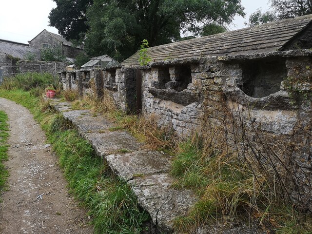
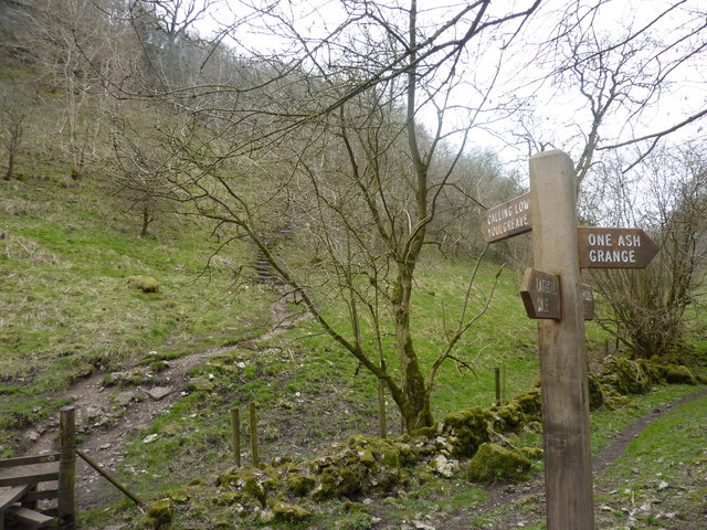
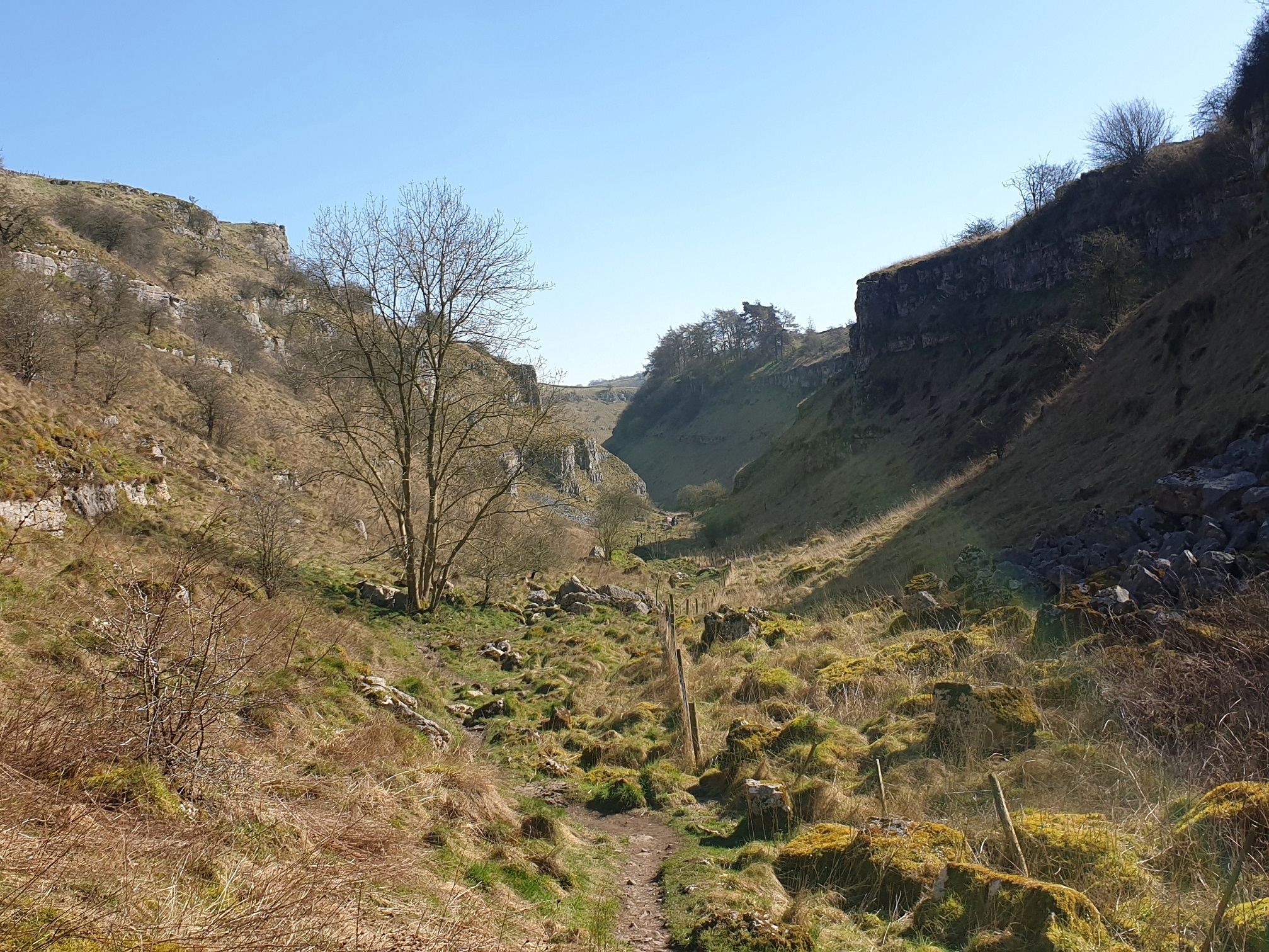
Diamond Plantation Images

Images are sourced within 2km of 53.170474/-1.740923 or Grid Reference SK1763. Thanks to Geograph Open Source API. All images are credited.

Arbor Low henge - flat stones One of the earliest sites in England to have been designated a scheduled ancient monument, and one of the few to have been given a fully detailed description by Historic England (list entry 1011087), the henge consists of a stone circle within an elliptical bank and ditch (40m by 52m) with two entrances and a later bowl barrow. The immediate surrounding area contains a number of other tumuli, barrows and ancient earthworks. The dating is roughly Late Neolithic to Late Bronze Age (c.2400-1500BC).  

The stone circle itself originally comprised 41-43 upright limestone slabs, with some further stones at the centre representing a burial chamber (more than one burial was found during excavations at the site). The stones have at some time in the past been laid flat on the ground. An interpretation board on site attributes this to mediaeval superstition or religious persecution, but someone we met on site who seemed to know it well said he believed it was a more recent (19th century?) action.
Arbor Low henge - flat stones
One of the earliest sites in England to have been designated a scheduled ancient monument, and one of the few to have been given a fully detailed description by Historic England (list entry 1011087), the henge consists of a stone circle within an elliptical bank and ditch (40m by 52m) with two entrances and a later bowl barrow. The immediate surrounding area contains a number of other tumuli, barrows and ancient earthworks. The dating is roughly Late Neolithic to Late Bronze Age (c.2400-1500BC). The stone circle itself originally comprised 41-43 upright limestone slabs, with some further stones at the centre representing a burial chamber (more than one burial was found during excavations at the site). The stones have at some time in the past been laid flat on the ground. An interpretation board on site attributes this to mediaeval superstition or religious persecution, but someone we met on site who seemed to know it well said he believed it was a more recent (19th century?) action.
Arbor Low henge - ditch and bank One of the earliest sites in England to have been designated a scheduled ancient monument, and one of the few to have been given a fully detailed description by Historic England (list entry 1011087), the henge consists of a stone circle within an elliptical bank and ditch (40m by 52m) with two entrances and a later bowl barrow. The immediate surrounding area contains a number of other tumuli, barrows and ancient earthworks. The dating is roughly Late Neolithic to Late Bronze Age (c.2400-1500BC).  

The ditch and bank are seen here from the top of the bank.  The site was fully excavated c.1902, so the exact profile of the bank is probably not original.
Arbor Low henge - ditch and bank
One of the earliest sites in England to have been designated a scheduled ancient monument, and one of the few to have been given a fully detailed description by Historic England (list entry 1011087), the henge consists of a stone circle within an elliptical bank and ditch (40m by 52m) with two entrances and a later bowl barrow. The immediate surrounding area contains a number of other tumuli, barrows and ancient earthworks. The dating is roughly Late Neolithic to Late Bronze Age (c.2400-1500BC). The ditch and bank are seen here from the top of the bank. The site was fully excavated c.1902, so the exact profile of the bank is probably not original.
Arbor Low henge - VR boundary stone The boundary stones around the henge are not ancient, but were added around the time the site was excavated c.1902 (at the end of the Victorian era). Some of them therefore have the initials VR, and some GR, for Victoria and her successor King George.
Arbor Low henge - VR boundary stone
The boundary stones around the henge are not ancient, but were added around the time the site was excavated c.1902 (at the end of the Victorian era). Some of them therefore have the initials VR, and some GR, for Victoria and her successor King George.
Field scabious Flowers growing on the bank of Arbor Low henge.
Field scabious
Flowers growing on the bank of Arbor Low henge.
Approaching the entrance to Arbor Low henge  The elliptical henge originally had two opposite entrances, but this is the one used by visitors approaching on the permitted route through Upper Oldhams Farm.
Approaching the entrance to Arbor Low henge
The elliptical henge originally had two opposite entrances, but this is the one used by visitors approaching on the permitted route through Upper Oldhams Farm.
View from Arbor Low towards Gib Hill  Gib Hill is a burial mound or barrow, somewhat camouflaged in this view against a distant hill (roughly in the centre of the picture, a bit to the left of the cow in the foreground).  The two sites are believed to be associated but are separately scheduled.
View from Arbor Low towards Gib Hill
Gib Hill is a burial mound or barrow, somewhat camouflaged in this view against a distant hill (roughly in the centre of the picture, a bit to the left of the cow in the foreground). The two sites are believed to be associated but are separately scheduled.
Upper Oldhams Farm A beef farm close to Arbor Low henge. There is no public right of way through this farm or its surrounding fields, but visitors are invited to contribute £1 by way of purchasing a temporary right of passage to the henge.
Upper Oldhams Farm
A beef farm close to Arbor Low henge. There is no public right of way through this farm or its surrounding fields, but visitors are invited to contribute £1 by way of purchasing a temporary right of passage to the henge.
Track to Upper Oldhams Farm A beef farm close to Arbor Low henge. There is no public right of way through this farm or its surrounding fields, but visitors are invited to contribute £1 by way of purchasing a temporary right of passage to the henge.
Track to Upper Oldhams Farm
A beef farm close to Arbor Low henge. There is no public right of way through this farm or its surrounding fields, but visitors are invited to contribute £1 by way of purchasing a temporary right of passage to the henge.
Signs to Arbor Low and Upper Oldhams A beef farm close to Arbor Low henge. There is no public right of way through this farm or its surrounding fields, but visitors are invited to contribute £1 by way of purchasing a temporary right of passage to the henge, and the English Heritage car park is part way up this track.
Signs to Arbor Low and Upper Oldhams
A beef farm close to Arbor Low henge. There is no public right of way through this farm or its surrounding fields, but visitors are invited to contribute £1 by way of purchasing a temporary right of passage to the henge, and the English Heritage car park is part way up this track.
Minor road below Arbor Low Note the rosebay-willowherb growing in the verge.  This plant seems to be generally less abundant than it was when I was young, but we saw quite a bit of it in Derbyshire on this occasion.
Minor road below Arbor Low
Note the rosebay-willowherb growing in the verge. This plant seems to be generally less abundant than it was when I was young, but we saw quite a bit of it in Derbyshire on this occasion.
One Ash Grange Farm Not sure what these are for. Some old cattle feeders?
One Ash Grange Farm
Not sure what these are for. Some old cattle feeders?
The Limestone Way A tree beside the Limestone Way near One Ash Grange Farm.
The Limestone Way
A tree beside the Limestone Way near One Ash Grange Farm.
Cattle in a field Cattle in a field above Cales Dale.  Lathkill Dales can be seen on the right.
Cattle in a field
Cattle in a field above Cales Dale. Lathkill Dales can be seen on the right.
Old pigsty at One Ash Grange Farm I last walked this footpath around twenty years ago and clearly remembered this ancient pigsty dating from the 28th century.  The pigsty is Grade II listed, see <span class="nowrap"><a title="https://historicengland.org.uk/listing/the-list/list-entry/1159150?section=official-list-entry" rel="nofollow ugc noopener" href="https://historicengland.org.uk/listing/the-list/list-entry/1159150?section=official-list-entry">Link</a><img style="margin-left:2px;" alt="External link" title="External link - shift click to open in new window" src="https://s1.geograph.org.uk/img/external.png" width="10" height="10"/></span>
Old pigsty at One Ash Grange Farm
I last walked this footpath around twenty years ago and clearly remembered this ancient pigsty dating from the 28th century. The pigsty is Grade II listed, see LinkExternal link
Peacock at One Ash Grange Farm Not a sight one normally expects to see in a farmyard.
Peacock at One Ash Grange Farm
Not a sight one normally expects to see in a farmyard.
Peacock tail feathers
Footpath in Fern Dale Footpath below a limestone scar in Fern Dale.
Footpath in Fern Dale
Footpath below a limestone scar in Fern Dale.
Show me another place!

Diamond Plantation is located at Grid Ref: SK1763 (Lat: 53.170474, Lng: -1.740923)

Administrative County: Derbyshire

District: Derbyshire Dales

Police Authority: Derbyshire

What 3 Words

///oven.harshest.sobs. Near Youlgreave, Derbyshire

Related Wikis

Arbor Low

Arbor Low is a well-preserved Neolithic henge in the Derbyshire Peak District, England. It lies on a Carboniferous Limestone plateau known as the White...

Limey Way

The Limey Way is a 65-kilometre (40 mi) challenge walk through Derbyshire, England. It starts at Castleton and progresses through 15 major and 5 minor...

Cales Dale

Cales Dale is a short valley towards the head of Lathkill Dale near Monyash, Derbyshire in the Peak District of England. Cales Dale is included within...

Middleton and Smerrill

Middleton and Smerrill is a civil parish within the Derbyshire Dales district, in the county of Derbyshire, England. Largely rural except for the village...

Gib Hill

Gib Hill is a large burial mound in the Peak District, Derbyshire, England. It is thought to be a Neolithic oval barrow with an Early Bronze Age round...

Lathkill Dale

Lathkill Dale is the valley of the River Lathkill near Bakewell, Derbyshire in the Peak District of England. The river emerges into the dale from springs...

Middleton-by-Youlgreave

Middleton, often known as Middleton-by-Youlgreave or Middleton-by-Youlgrave to distinguish it from nearby Middleton-by-Wirksworth, is a village in the...

Newhaven Tunnel

Newhaven Tunnel was a railway tunnel located on the Cromford and High Peak Railway near the village of Newhaven in Derbyshire. Mostly used for moving mineral...

Nearby Amenities

Located within 500m of 53.170474,-1.740923
Barrier: stile
Material: stone
Source: survey;bing
Stile: squeezer
Lat/Long: 53.1729835/-1.7455287
Power: pole
Lat/Long: 53.1672466/-1.7364265
Power: pole
Lat/Long: 53.1676273/-1.7372535
Power: pole
Lat/Long: 53.1684028/-1.7389128
Power: pole
Lat/Long: 53.168794/-1.739804
Power: pole
Lat/Long: 53.1691942/-1.740677
Power: pole
Lat/Long: 53.1695889/-1.7415318
Power: pole
Lat/Long: 53.1699981/-1.7423958
Power: pole
Lat/Long: 53.1703911/-1.7432839
Power: pole
Lat/Long: 53.1707768/-1.7441206
Power: pole
Lat/Long: 53.1712041/-1.7450299
Power: pole
Lat/Long: 53.1716306/-1.7459769
Power: pole
Lat/Long: 53.1720395/-1.7468473
Power: pole
Lat/Long: 53.1680091/-1.7380704
The data included in this document is from www.openstreetmap.org. The data is made available under ODbL.

Have you been to Diamond Plantation?

Leave your review of Diamond Plantation below (or comments, questions and feedback).