Constantine Plantation

Wood, Forest in Durham

England

Constantine Plantation

Constantine Farm
Constantine Farm Credit: Alex McGregor

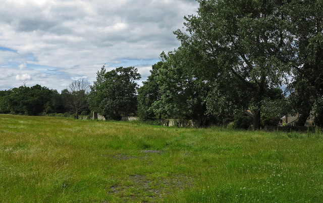
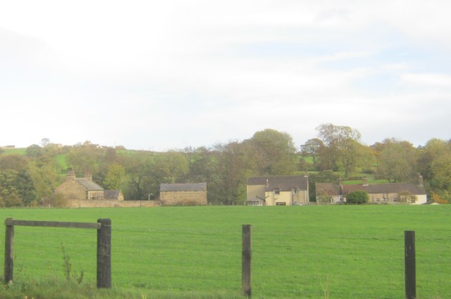
Constantine Plantation is a picturesque woodland located in the county of Durham, England. Spanning over a vast area, the plantation is renowned for its dense forest and well-preserved natural beauty. The plantation is situated near the village of Wood, offering visitors a serene and tranquil escape from the hustle and bustle of everyday life.

The woodland itself is dominated by a variety of tree species, including oak, beech, and birch, creating a diverse and vibrant ecosystem. The dense canopy provides shelter to a wide range of wildlife, making it a popular spot for nature enthusiasts and birdwatchers. Visitors can often spot species such as red squirrels, deer, and a variety of bird species as they explore the plantation's numerous walking trails.

Constantine Plantation is also home to a number of historical features, adding to its charm and allure. The remnants of an old sawmill and lime kilns can still be found within the woodland, serving as a reminder of the area's industrial past.

For those seeking recreational activities, the plantation offers ample opportunities for outdoor pursuits. There are designated picnic areas where visitors can enjoy a leisurely lunch amidst the tranquil surroundings. Additionally, the plantation boasts several well-maintained trails for walking, jogging, and cycling, catering to individuals of all fitness levels.

Overall, Constantine Plantation in Durham is a hidden gem, providing visitors with a perfect blend of natural beauty, history, and recreational opportunities. Whether one seeks solitude, wildlife spotting, or an active outdoor adventure, this woodland sanctuary offers something for everyone.

If you have any feedback on the listing, please let us know in the comments section below.

Constantine Plantation Images

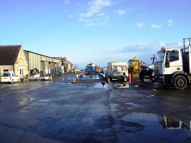
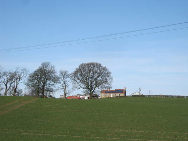
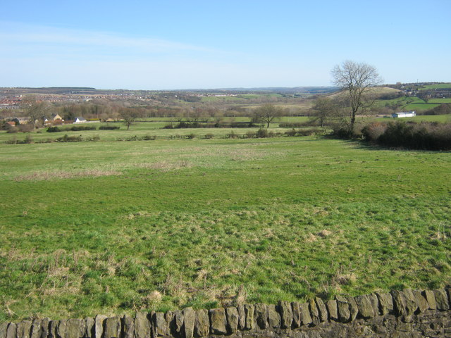
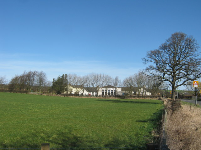
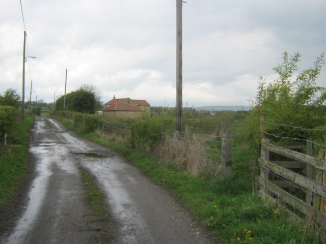
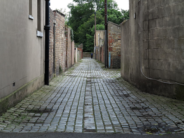
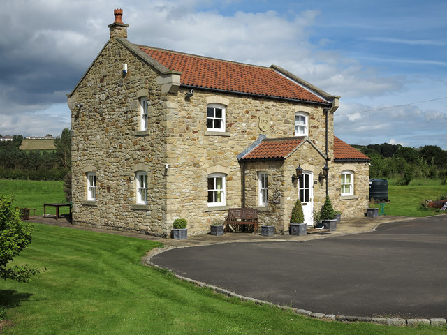
Images are sourced within 2km of 54.699367/-1.7326507 or Grid Reference NZ1733. Thanks to Geograph Open Source API. All images are credited.

Constantine Farm
Constantine Farm
Blakeley Hill Farm
Blakeley Hill Farm
Pasture Land at Lane Ends
Footpath off Roman Road north of Hunwick
Sunnybrow Primary School
Public footpath on track to and beyond Victoria Farm Another footpath leaves the track at right to Victoria
Public footpath on track to and beyond Victoria Farm
Another footpath leaves the track at right to Victoria
Howden-le-Wear: back lane of School Street The back lane is a feature of terraced housing throughout the UK.
Houses of School Street are certainly to the right in the image and possibly to the left as well. The building immediately to the left is an unusually named public house: 'The Australian'.
Howden-le-Wear: back lane of School Street
The back lane is a feature of terraced housing throughout the UK. Houses of School Street are certainly to the right in the image and possibly to the left as well. The building immediately to the left is an unusually named public house: 'The Australian'.
Victoria Farm Although named as a farm this property has been totally gentrified and now seems to be just an attractive detached home.
Victoria Farm
Although named as a farm this property has been totally gentrified and now seems to be just an attractive detached home.
Field near Howden-le-Wear The field is at the southern end of Howden-le-Wear beside the road connecting the village with Witton-le-Wear.
Field near Howden-le-Wear
The field is at the southern end of Howden-le-Wear beside the road connecting the village with Witton-le-Wear.
Road entering Howden-le-Wear Howden-le-Wear is a small County Durham village; the road is a minor one seen entering from the south. The blue and yellow road sign is characteristic of a style of signage introduced by County Durham some years ago.
Road entering Howden-le-Wear
Howden-le-Wear is a small County Durham village; the road is a minor one seen entering from the south. The blue and yellow road sign is characteristic of a style of signage introduced by County Durham some years ago.
A689 entering Helmington Row Helmington Row is a small County Durham village lying on the A689 between the small towns of Crook and Willington. The building beyond the bus stop, now a private house, was once a 'board school'; it's a listed building. The blue and yellow road sign is characteristic of a style of signage introduced by County Durham some years ago.
A689 entering Helmington Row
Helmington Row is a small County Durham village lying on the A689 between the small towns of Crook and Willington. The building beyond the bus stop, now a private house, was once a 'board school'; it's a listed building. The blue and yellow road sign is characteristic of a style of signage introduced by County Durham some years ago.
Methodist Church in High Street, Howden-le-Wear
Butcher's shop in High Street, Howden-le-Wear
Vicarage Close in Howden-le-Wear
Green Lane rising up from High Grange
Entrance to Small Leazes Farm from Green Lane
Entrance to Howden-le-Wear Cemetery
Low Beechburn
Low Beechburn
Show me another place!

Constantine Plantation is located at Grid Ref: NZ1733 (Lat: 54.699367, Lng: -1.7326507)

Unitary Authority: County Durham

Police Authority: Durham

What 3 Words

///formally.expensive.bought. Near Crook, Co. Durham

Related Wikis

North Bitchburn

North Bitchburn is a small village in County Durham, England. It is situated 3 miles (4.8 km) north west of Bishop Auckland, near Howden-le-Wear. In the...

Beechburn railway station

Beechburn railway station served the hamlet of Low Beechburn, County Durham, England, from 1845 to 1965 on the Stanhope and Tyne Railway. == History... ==
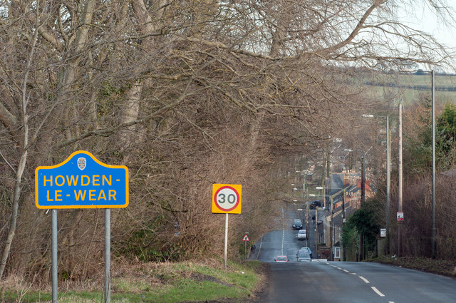
Howden-le-Wear

Howden-le-Wear is a village in County Durham, in England. Howden-le-Wear is approximately 1 mile south of the large market town of Crook. It has a number...
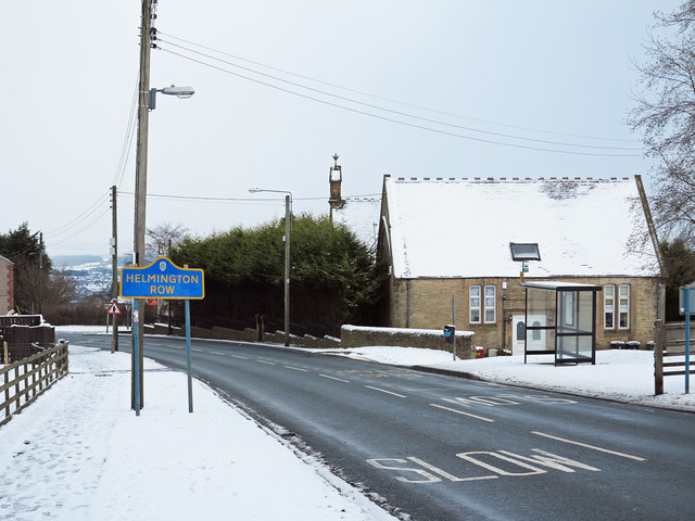
Helmington Row

Helmington Row is a small village in County Durham, England. It is situated between Crook and Willington, about 7 miles south-west of Durham and 3 miles...

Nearby Amenities

Located within 500m of 54.699367,-1.7326507
Bus Stop
Rumby Hill Crossroads
Naptan AtcoCode: 13004706B
Naptan Bearing: NE
Naptan CommonName: Rumby Hill Crossroads
Naptan Indicator: north east bound
Naptan Landmark: Landmark not known
Naptan NaptanCode: durdgagp
Naptan Notes: Rumby Hill Bank- at junction with Rumby Hill Lane- NE of Howden-le-Wear.
Naptan Street: Rumby Hill Bank
Naptan Verified: no
Source: naptan_import
Lat/Long: 54.7004862/-1.7383316
Bus Stop
Rumby Hill Crossroads
Naptan AtcoCode: 13004706F
Naptan Bearing: SW
Naptan CommonName: Rumby Hill Crossroads
Naptan Indicator: south west bound
Naptan Landmark: Landmark not known
Naptan NaptanCode: durdgagt
Naptan Notes: Rumby Hill Bank- at junction with Rumby Hill Lane- NE of Howden-le-Wear.
Naptan Street: Rumby Hill Bank
Naptan Verified: no
Source: naptan_import
Lat/Long: 54.7004143/-1.738301
Power: pole
Switch: mechanical
Lat/Long: 54.7018975/-1.7380721
Power: pole
Lat/Long: 54.7020559/-1.7365479
Power: pole
Lat/Long: 54.702214/-1.7350566
Power: pole
Lat/Long: 54.7023535/-1.7337745
Power: pole
Lat/Long: 54.7025069/-1.7322698
Power: pole
Lat/Long: 54.7026883/-1.7306203
Power: pole
Lat/Long: 54.7028262/-1.7293248
Power: pole
Lat/Long: 54.7026022/-1.7278697
Power: pole
Lat/Long: 54.6964747/-1.7351234
Power: pole
Lat/Long: 54.6962593/-1.7342322
Power: pole
Lat/Long: 54.69589/-1.7327272
Power: pole
Lat/Long: 54.6955337/-1.7312587
Power: pole
Lat/Long: 54.6951823/-1.7298089
Power: pole
Lat/Long: 54.6970581/-1.7365466
Power: pole
Lat/Long: 54.697234/-1.7369396
Power: pole
Lat/Long: 54.6978184/-1.7381895
Power: pole
Lat/Long: 54.6984167/-1.7394474
Power: pole
Transformer: distribution
Lat/Long: 54.7019284/-1.7380768
Bench
Lat/Long: 54.7005665/-1.7382042
Give Way
Direction: backward
Lat/Long: 54.7005051/-1.7380242
The data included in this document is from www.openstreetmap.org. The data is made available under ODbL.

Have you been to Constantine Plantation?

Leave your review of Constantine Plantation below (or comments, questions and feedback).