Gandale Wood
Wood, Forest in Yorkshire Richmondshire
England
Gandale Wood
![Catterick Garrison, Vimy Barracks Un-named street [as far as I could see] leading to Queens Avenue.](https://s1.geograph.org.uk/geophotos/02/58/74/2587409_d2c13e24.jpg)
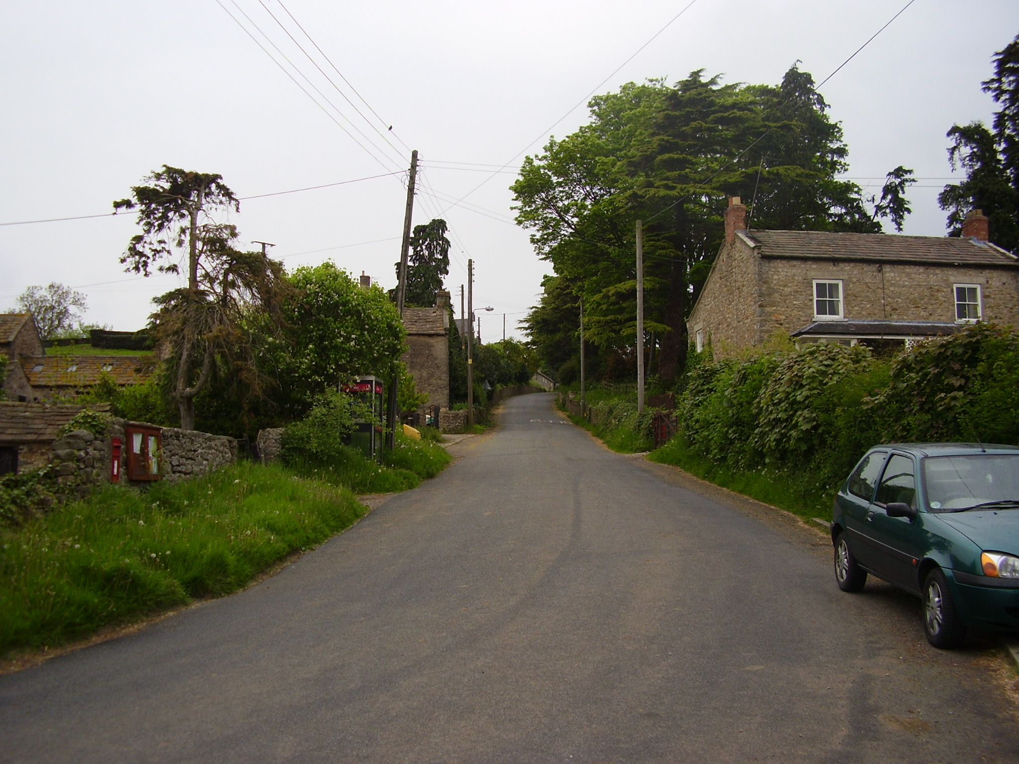
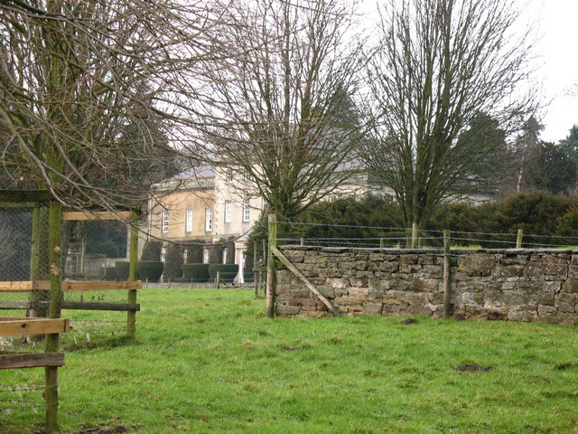
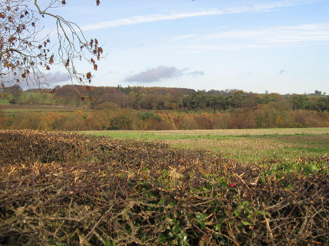
Gandale Wood is a picturesque woodland located in the county of Yorkshire, England. Covering an area of approximately 100 acres, this forest is known for its dense canopy of trees, diverse wildlife, and tranquil atmosphere. It is situated on the outskirts of the village of Gandale, which is nestled in a rural setting surrounded by rolling hills and scenic beauty.
The woodland is primarily composed of native tree species such as oak, beech, and birch, creating a rich and varied ecosystem. The dense foliage provides a haven for a wide range of wildlife, including deer, foxes, badgers, and numerous bird species. Nature enthusiasts and birdwatchers are often drawn to Gandale Wood for its abundance of birdlife, including woodpeckers, owls, and various songbirds.
In addition to its natural beauty, Gandale Wood offers a network of walking trails that wind through the forest, allowing visitors to explore its serene surroundings. These well-maintained paths provide opportunities for leisurely strolls, jogging, or even horseback riding. Along the trails, there are informative signposts providing details about the local flora and fauna, enhancing the educational experience for visitors.
Gandale Wood is a popular destination for locals and tourists alike, offering a peaceful escape from the hustle and bustle of everyday life. Whether it's enjoying a picnic amidst the dappled sunlight, capturing stunning photographs, or simply immersing oneself in the tranquility of nature, this woodland is a true gem in the heart of Yorkshire.
If you have any feedback on the listing, please let us know in the comments section below.
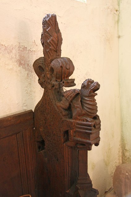
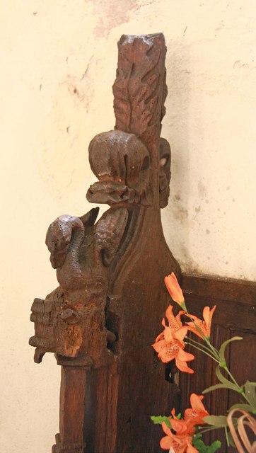
Gandale Wood Images
Images are sourced within 2km of 54.348363/-1.7355009 or Grid Reference SE1794. Thanks to Geograph Open Source API. All images are credited.
![Catterick Garrison, Vimy Barracks [2] One of the barracks on this very large camp which is part of the Infantry Training Centre. See <span class="nowrap"><a title="http://www.army.mod.uk/training_education/training/18145.aspx" rel="nofollow ugc noopener" href="http://www.army.mod.uk/training_education/training/18145.aspx">Link</a><img style="margin-left:2px;" alt="External link" title="External link - shift click to open in new window" src="https://s1.geograph.org.uk/img/external.png" width="10" height="10"/></span>](https://s2.geograph.org.uk/geophotos/02/58/74/2587418_b65843d3.jpg)
![Catterick Garrison, Vimy Barracks [3] View along Queens Avenue.](https://s3.geograph.org.uk/geophotos/02/58/74/2587423_09ba10bd.jpg)
Gandale Wood is located at Grid Ref: SE1794 (Lat: 54.348363, Lng: -1.7355009)
Division: North Riding
Administrative County: North Yorkshire
District: Richmondshire
Police Authority: North Yorkshire
What 3 Words
///trick.natural.swooning. Near Catterick Garrison, North Yorkshire
Nearby Locations
Related Wikis
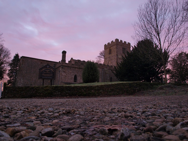
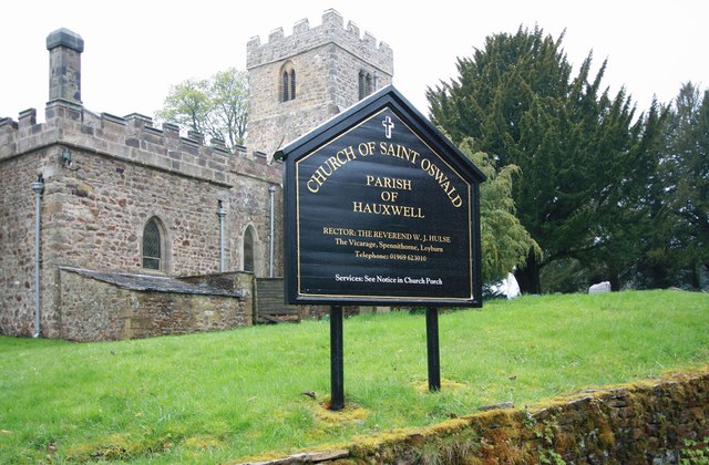
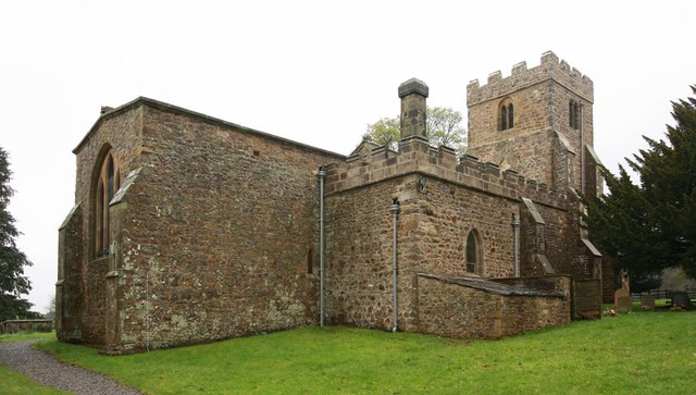
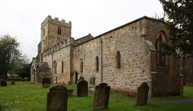
East Hauxwell
East Hauxwell or Hauxwell is a village and civil parish in North Yorkshire, England. It is located south of Catterick Garrison.To the west of the village...
Hauxwell Hall
Hauxwell Hall or Hawkswell Hall is a grade II* listed 17th-century country house in West Hauxwell, North Yorkshire, England, some 5 miles (8 km) south...
Scotton, Richmondshire
Scotton is a village, civil parish and electoral ward in the Richmondshire district of North Yorkshire, England. The civil parish includes the centre and...

Barden, Richmondshire
Barden is a hamlet and civil parish in North Yorkshire, England. It is about 5 miles (8 km) south of Richmond. According to the 2001 census the parish...
Garriston
Garriston is a hamlet and civil parish north-east of Leyburn in North Yorkshire, England. In 2015, North Yorkshire County Council estimated the population...

Hunton, North Yorkshire
Hunton is a village and civil parish about 3 miles (4.8 km) south of Catterick Garrison and 6 miles (10 km) north west of Bedale, in North Yorkshire, England...

Catterick Camp railway station
Catterick Camp railway station was a railway station in what is now the Richmondshire district of North Yorkshire, England. It was built as the terminus...

A6136 road
The A6136 is a 4 digit A road in North Yorkshire, England. It runs between the A6108 Queen's Road, in the market town of Richmond, before terminating on...
Nearby Amenities
Located within 500m of 54.348363,-1.7355009Have you been to Gandale Wood?
Leave your review of Gandale Wood below (or comments, questions and feedback).