The Coppice
Wood, Forest in Yorkshire
England
The Coppice
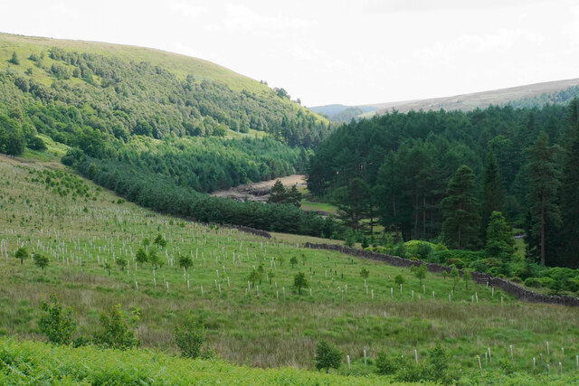
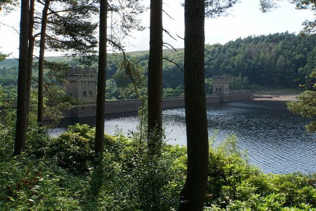
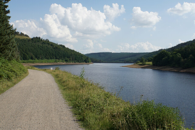
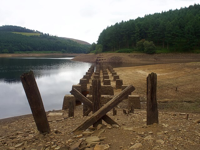
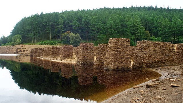
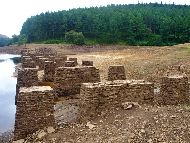
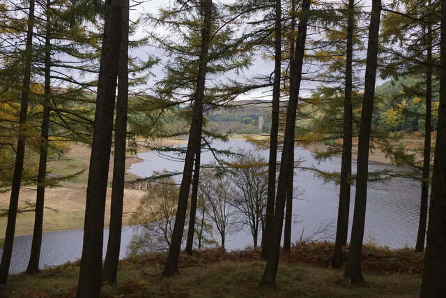
The Coppice is a picturesque woodland located in the county of Yorkshire, England. Covering an area of approximately 100 acres, it is one of the largest woodlands in the region. The woodland is predominantly composed of deciduous trees, including oak, beech, and ash, which create a vibrant and diverse ecosystem.
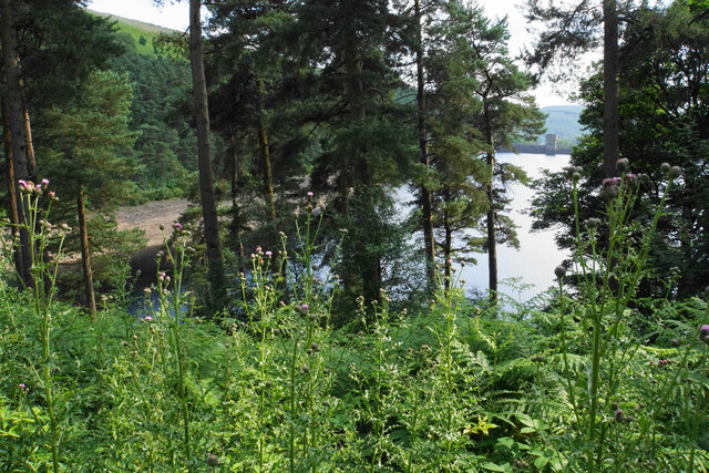
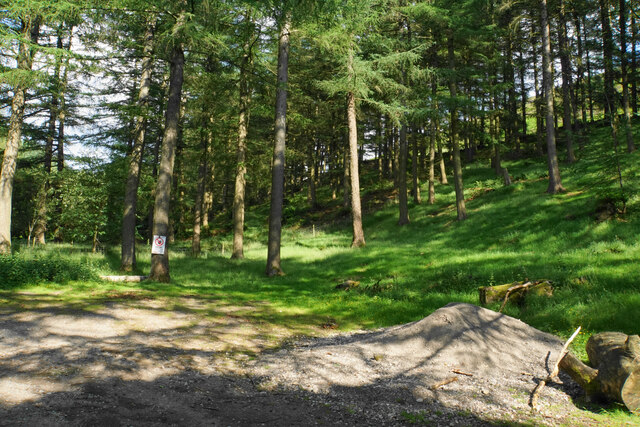
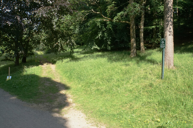
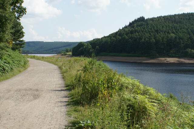
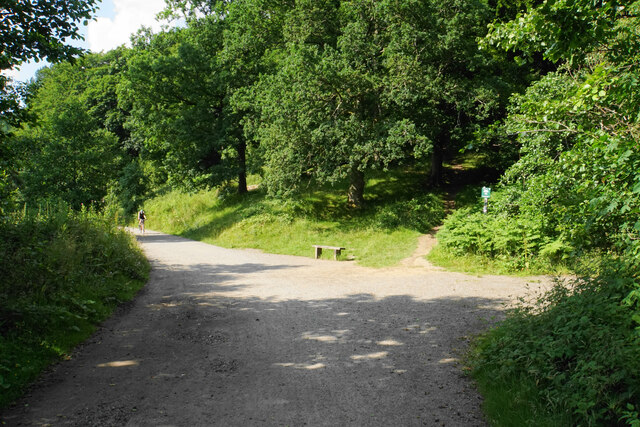
The Coppice is renowned for its natural beauty and is a popular destination for nature enthusiasts and hikers. The woodland is crisscrossed by a network of well-maintained trails, allowing visitors to explore its various corners and discover its hidden gems. These trails offer breathtaking views of the surrounding countryside and provide an opportunity to observe the rich wildlife that inhabits the area. Birdwatchers, in particular, flock to The Coppice to catch a glimpse of rare and migratory species.
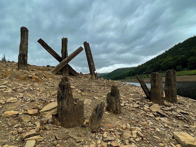
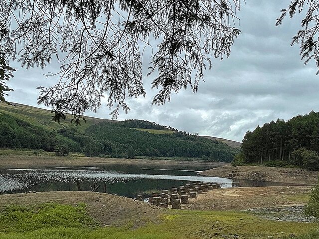
In addition to its natural splendor, The Coppice also holds historical significance. It is believed that the woodland has been in existence for centuries and has witnessed various human activities throughout its history. Archaeological evidence suggests that the area was once used for charcoal production and timber extraction.
Today, The Coppice is managed and maintained by a local conservation group, who strive to preserve its natural heritage and protect its wildlife. The group organizes regular events and educational programs to raise awareness about the importance of environmental conservation.
Overall, The Coppice offers a tranquil and immersive experience for visitors, allowing them to connect with nature and explore the rich biodiversity that Yorkshire has to offer.
If you have any feedback on the listing, please let us know in the comments section below.
The Coppice Images
Images are sourced within 2km of 53.431714/-1.7413405 or Grid Reference SK1792. Thanks to Geograph Open Source API. All images are credited.

The Coppice is located at Grid Ref: SK1792 (Lat: 53.431714, Lng: -1.7413405)
Division: West Riding
Unitary Authority: Sheffield
Police Authority: South Yorkshire
What 3 Words
///washable.fancied.ladders. Near Hope Valley, Derbyshire
Nearby Locations
Related Wikis

River Westend
The River Westend flows through the Dark Peak of the Derbyshire Peak District in England. Its source is at Bleaklow Stones on Bleaklow, from where it...

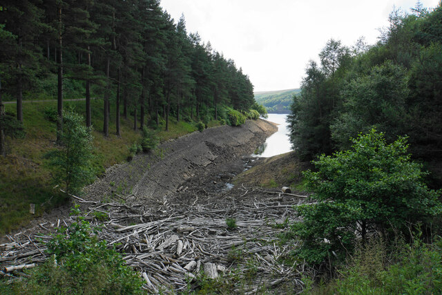
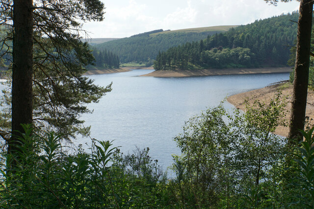
Howden Reservoir
The Howden Reservoir is a Y-shaped reservoir, the uppermost of the three in the Upper Derwent Valley, England. The western half of the reservoir lies in...

Howden Edge
Howden Edge (grid reference SK187943) is a peak in the north-east of the Upper Derwent Valley area of the Peak District National Park in England. At 545...

High Stones
High Stones, at 548 metres (1,798 ft), is the highest point within the boundaries of both the City of Sheffield and South Yorkshire, England.High Stones...

Derwent Reservoir (Derbyshire)
Derwent Reservoir is the middle of three reservoirs in the Upper Derwent Valley in the north of Derbyshire, England. It lies approximately 10 mi (16 km...

Lost Lad
Lost Lad is a hill, 518 metres (1,699 ft) high on the Derwent Edge in the Peak District in the county of Derbyshire in England. It is a subpeak of Back...

Margery Hill
Margery Hill is a 546-metre (1,791 ft) hill on the Howden Moors in South Yorkshire, England. It lies towards the northern boundary of the Peak District...

Alport Castles
The Alport Castles are a landslip feature in the Peak District National Park in Derbyshire. At over half a mile long, it is thought to be the largest landslide...
Nearby Amenities
Located within 500m of 53.431714,-1.7413405Have you been to The Coppice?
Leave your review of The Coppice below (or comments, questions and feedback).