South Belt

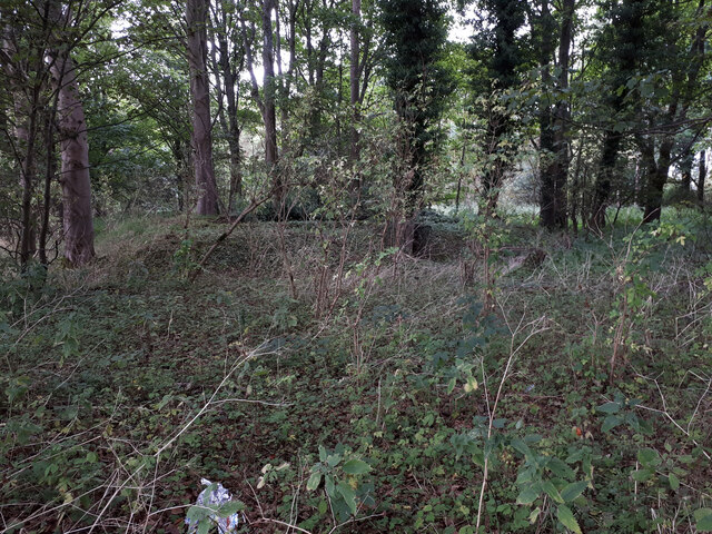
Wood, Forest in Gloucestershire Cotswold

England

South Belt

RAF Windrush ancillary building RAF Windrush opened in Spring 1940 and closed in Autumn 1945. Its role was to train pilots for the Royal Air Force. The role was unspectacular but contributed greatly to the success of the RAF and eventual victory. It is not known how many pilots passed through the Windrush training programmes but it they are certainly numbered in their thousands. Training courses ran for four weeks for the single-engined Harvard Advanced Trainer and six weeks for the twin-engined Oxford and Anson aircraft. Over 1500 personnel were based here including ground crews, trainee pilots, flying instructors and WAAF staff, with approximately 90 aircraft in all. 

Being a training airfield there were many crashes on the airfield itself and in the vicinity with a number of fatalities. A plaque mounted on the control tower commemorates the action of Sergeant Pilot Bruce Hancock of the Voluntary Reserve on the evening of Sunday 18th August 1940. That night, while flying an unarmed Avro Anson trainer he was seen to sacrifice his life by ramming and destroying an attacking enemy Heinkel 111 bomber. Another plaque commemorating this incident is mounted in the wall of the churchyard of St Peter’s, Windrush.
RAF Windrush ancillary building Credit: Vieve Forward

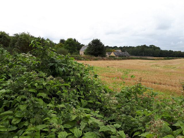
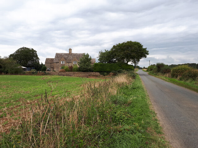
South Belt is a small village located in the county of Gloucestershire, England. Situated within the enchanting Forest of Dean, it is surrounded by a picturesque woodland landscape that attracts nature enthusiasts and outdoor lovers alike. The village is nestled in the heart of this ancient woodland, offering residents and visitors a tranquil and idyllic setting to escape the hustle and bustle of urban life.

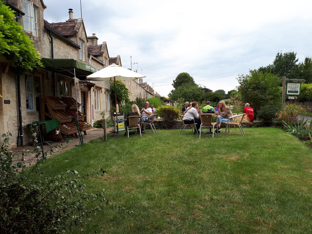
The village of South Belt is characterized by its charming and traditional architecture, with many buildings dating back several centuries. It is a close-knit community with a small population, fostering a friendly and welcoming atmosphere. The residents take pride in their village and actively participate in various community events and initiatives.

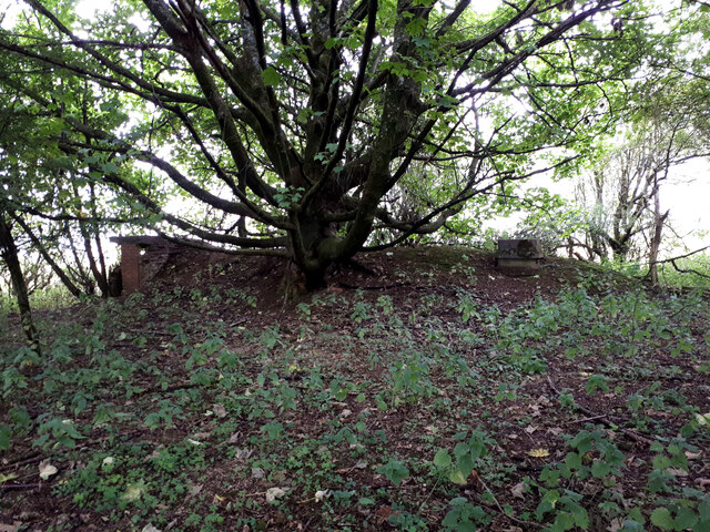
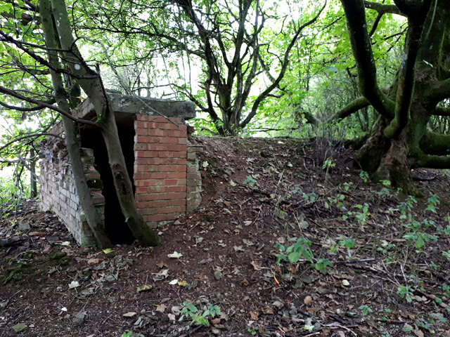
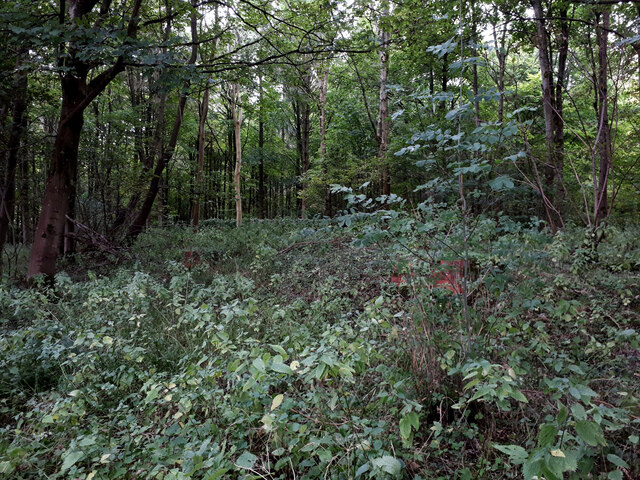
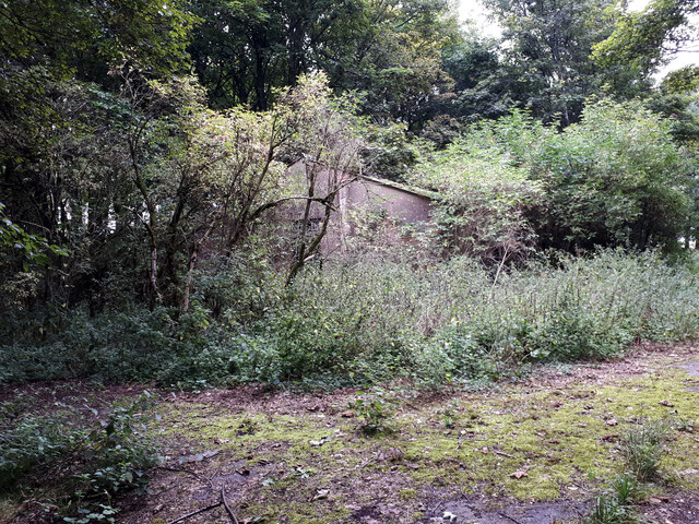
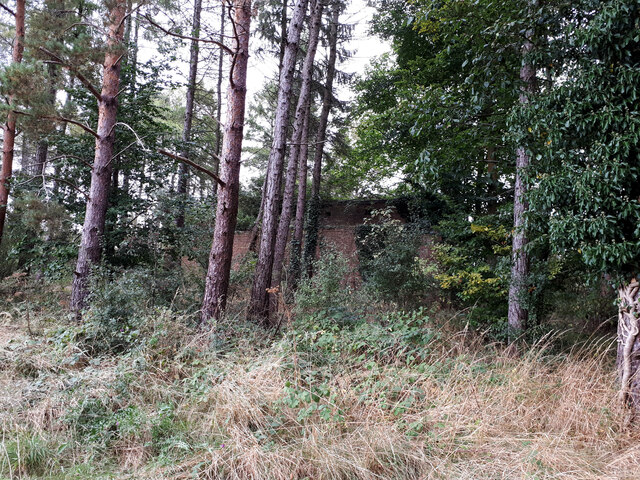
The Forest of Dean, which encompasses South Belt, is a haven for wildlife and boasts an array of flora and fauna. It provides ample opportunities for outdoor activities such as hiking, cycling, and birdwatching. The forest is also renowned for its ancient oak trees, some of which are believed to be over 500 years old.

Despite its rural location, South Belt is conveniently located near major transportation routes, making it easily accessible. The nearby towns of Gloucester and Cheltenham offer a range of amenities including shopping centers, schools, and healthcare facilities.

Overall, South Belt is a hidden gem within the picturesque Forest of Dean, offering a peaceful and nature-filled lifestyle to its residents. With its stunning natural beauty and strong community spirit, it is a place that truly captures the essence of rural England.

If you have any feedback on the listing, please let us know in the comments section below.

South Belt Images

Images are sourced within 2km of 51.816517/-1.7508699 or Grid Reference SP1713. Thanks to Geograph Open Source API. All images are credited.

RAF Windrush ancillary building RAF Windrush opened in Spring 1940 and closed in Autumn 1945. Its role was to train pilots for the Royal Air Force. The role was unspectacular but contributed greatly to the success of the RAF and eventual victory. It is not known how many pilots passed through the Windrush training programmes but it they are certainly numbered in their thousands. Training courses ran for four weeks for the single-engined Harvard Advanced Trainer and six weeks for the twin-engined Oxford and Anson aircraft. Over 1500 personnel were based here including ground crews, trainee pilots, flying instructors and WAAF staff, with approximately 90 aircraft in all. 

Being a training airfield there were many crashes on the airfield itself and in the vicinity with a number of fatalities. A plaque mounted on the control tower commemorates the action of Sergeant Pilot Bruce Hancock of the Voluntary Reserve on the evening of Sunday 18th August 1940. That night, while flying an unarmed Avro Anson trainer he was seen to sacrifice his life by ramming and destroying an attacking enemy Heinkel 111 bomber. Another plaque commemorating this incident is mounted in the wall of the churchyard of St Peter’s, Windrush.
RAF Windrush ancillary building
RAF Windrush opened in Spring 1940 and closed in Autumn 1945. Its role was to train pilots for the Royal Air Force. The role was unspectacular but contributed greatly to the success of the RAF and eventual victory. It is not known how many pilots passed through the Windrush training programmes but it they are certainly numbered in their thousands. Training courses ran for four weeks for the single-engined Harvard Advanced Trainer and six weeks for the twin-engined Oxford and Anson aircraft. Over 1500 personnel were based here including ground crews, trainee pilots, flying instructors and WAAF staff, with approximately 90 aircraft in all. Being a training airfield there were many crashes on the airfield itself and in the vicinity with a number of fatalities. A plaque mounted on the control tower commemorates the action of Sergeant Pilot Bruce Hancock of the Voluntary Reserve on the evening of Sunday 18th August 1940. That night, while flying an unarmed Avro Anson trainer he was seen to sacrifice his life by ramming and destroying an attacking enemy Heinkel 111 bomber. Another plaque commemorating this incident is mounted in the wall of the churchyard of St Peter’s, Windrush.
Cats Abbey Buildings Self-catering conference centre, with accommodation available for all kinds of groups to hire. <span class="nowrap"><a title="https://www.catsabbey.com/" rel="nofollow ugc noopener" href="https://www.catsabbey.com/">Link</a><img style="margin-left:2px;" alt="External link" title="External link - shift click to open in new window" src="https://s1.geograph.org.uk/img/external.png" width="10" height="10"/></span>
Cats Abbey Buildings
Self-catering conference centre, with accommodation available for all kinds of groups to hire. LinkExternal link
Sherborne Village Shop
East Cottages aka Sunnyside The Ordnance Survey gives alternative names.
East Cottages aka Sunnyside
The Ordnance Survey gives alternative names.
Drive to Stone Barn Stone Barn is named Blackpits Barn on my 2009 OS Explorer map. Now converted to a beautiful wedding venue, presumably this name was thought too gloomy.
Drive to Stone Barn
Stone Barn is named Blackpits Barn on my 2009 OS Explorer map. Now converted to a beautiful wedding venue, presumably this name was thought too gloomy.
RAF Windrush Stanton air raid shelter near Cats Abbey Buildings An outlying Stanton shelter (e37074) relating to RAF Windrush. See also <a href="https://www.geograph.org.uk/photo/6960652">SP1713 : RAF Windrush Stanton air raid shelter near Cats Abbey Buildings</a>.
RAF Windrush Stanton air raid shelter near Cats Abbey Buildings
An outlying Stanton shelter (e37074) relating to RAF Windrush. See also SP1713 : RAF Windrush Stanton air raid shelter near Cats Abbey Buildings.
RAF Windrush Stanton air raid shelter near Cats Abbey Buildings Entrance to Stanton shelter, see also <a href="https://www.geograph.org.uk/photo/6960650">SP1713 : RAF Windrush Stanton air raid shelter near Cats Abbey Buildings</a>.
RAF Windrush Stanton air raid shelter near Cats Abbey Buildings
RAF Windrush ancillary structure, Budgehill Wood Ancillary structure associated with former RAF Windrush. See also <a href="https://www.geograph.org.uk/photo/6960758">SP1711 : RAF Windrush ancillary structure, Budgehill Wood</a>, <a href="https://www.geograph.org.uk/photo/384882">SP1712 : In Budgehill Wood</a>, and <a href="https://www.geograph.org.uk/photo/384887">SP1712 : In Budgehill Wood</a>.
RAF Windrush ancillary structure, Budgehill Wood
Ancillary structure associated with former RAF Windrush. See also SP1711 : RAF Windrush ancillary structure, Budgehill Wood, SP1712 : In Budgehill Wood, and SP1712 : In Budgehill Wood.
RAF Windrush large WW2 ancillary building next to Camp Barn Large building ancillary to former RAF Windrush.
RAF Windrush large WW2 ancillary building next to Camp Barn
Large building ancillary to former RAF Windrush.
RAF Windrush ancillary structure Ancillary structure (possible blast shelter?) to former RAF Windrush. See also <a href="https://www.geograph.org.uk/photo/6960768">SP1812 : RAF Windrush large WW2 ancillary building next to Camp Barn</a>, <a href="https://www.geograph.org.uk/photo/6961653">SP1712 : RAF Windrush ancillary building</a> and <a href="https://www.geograph.org.uk/photo/6961652">SP1712 : RAF Windrush ancillary building</a>.
RAF Windrush ancillary structure
Show me another place!

South Belt is located at Grid Ref: SP1713 (Lat: 51.816517, Lng: -1.7508699)

Administrative County: Gloucestershire

District: Cotswold

Police Authority: Gloucestershire

What 3 Words

///mentioned.gravel.estuaries. Near Northleach, Gloucestershire

Related Wikis

Sherborne, Gloucestershire

Sherborne is a village and civil parish almost 3.5 miles (5.6 km) east of Northleach in Gloucestershire. Sherborne is a linear village, extending more...

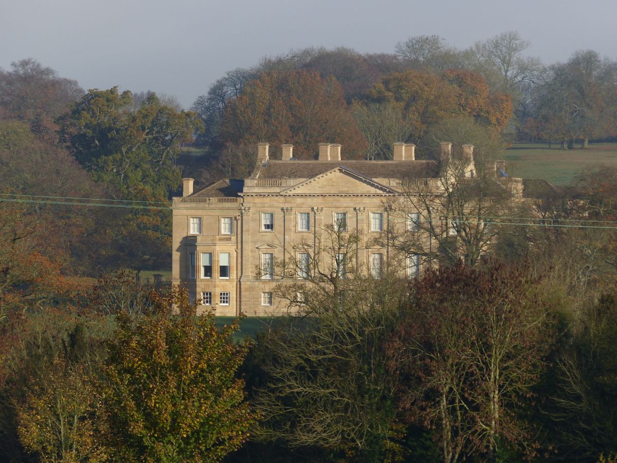
Sherborne House, Gloucestershire

Sherborne House is a large house in the village of Sherborne, Gloucestershire, England. It is a former country house that has been converted into flats...

RAF Windrush

Royal Air Force Windrush, or more simply RAF Windrush, is a former Royal Air Force satellite station near Windrush, Gloucestershire, England. It was opened...

Windrush, Gloucestershire

Windrush is a village and civil parish in Gloucestershire, England, approximately five miles southeast of Northleach. It lies in the Cotswolds on the River...

Church of St Peter, Windrush

The Anglican Church of St Peter at Windrush in the Cotswold District of Gloucestershire, England was built in the 12th century. It is a grade I listed...

Lodge Park and Sherborne Estate

Lodge Park was built as a grandstand in the Sherborne Estate near the villages of Sherborne, Aldsworth and Northleach in Gloucestershire, England. The...

Barrington Park

Barrington Park is a Palladian style country house standing in an estate of the same name near the villages of Great Barrington and Little Barrington,...

Church of St Peter, Little Barrington

The Anglican Church of St Peter at Little Barrington in the civil parish of Barrington in the Cotswold District of Gloucestershire, England was built in...

Nearby Amenities

Located within 500m of 51.816517,-1.7508699
Material: wood
Power: pole
Lat/Long: 51.8183405/-1.7518362
Material: wood
Power: pole
Lat/Long: 51.8176848/-1.7525588
Material: wood
Power: pole
Lat/Long: 51.8189978/-1.7510996
Material: wood
Power: pole
Lat/Long: 51.8196424/-1.7503722
Material: wood
Power: pole
Lat/Long: 51.8203033/-1.7496389
Material: wood
Power: pole
Lat/Long: 51.8169959/-1.7531551
Material: wood
Power: pole
Lat/Long: 51.8170359/-1.7533307
Material: wood
Power: pole
Lat/Long: 51.8195232/-1.7492471
The data included in this document is from www.openstreetmap.org. The data is made available under ODbL.

Have you been to South Belt?

Leave your review of South Belt below (or comments, questions and feedback).