Barn Ground Belt
Wood, Forest in Gloucestershire Cotswold
England
Barn Ground Belt

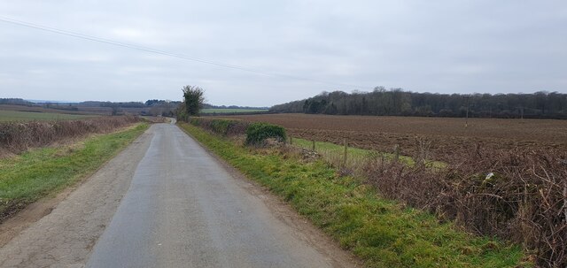
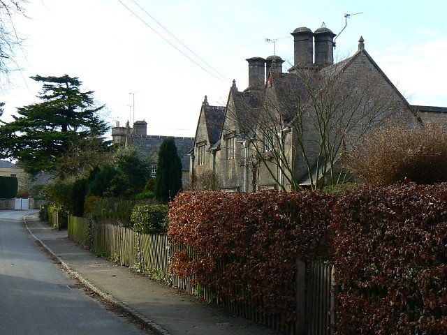
Barn Ground Belt, located in Gloucestershire, England, is a picturesque woodland area known for its natural beauty and diverse ecosystem. Covering an area of approximately 200 acres, this woodland is part of the larger Forest of Dean, a designated Area of Outstanding Natural Beauty.
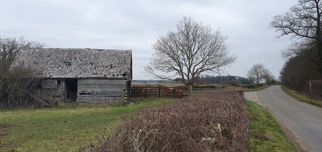
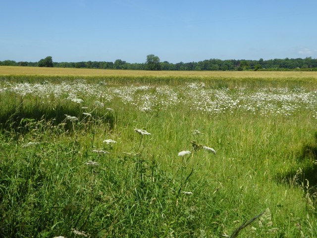
Barn Ground Belt is characterized by its dense, mature tree cover, predominantly consisting of oak, beech, and birch trees. These towering trees create a canopy that provides shade and shelter for a variety of wildlife species, including deer, foxes, badgers, and a wide array of bird species. The woodland floor is adorned with a rich carpet of wildflowers, ferns, and mosses, creating a vibrant and enchanting atmosphere.
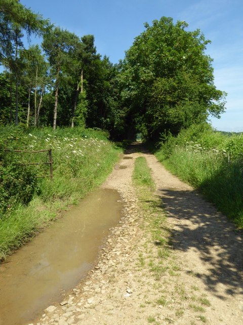
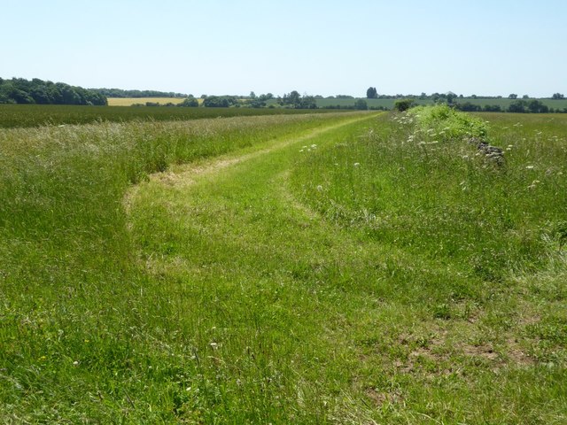
The woodland is crisscrossed by a network of footpaths and trails, making it a popular destination for hikers, nature enthusiasts, and photographers. The tranquil ambiance and stunning vistas offer a perfect escape from the hustle and bustle of everyday life. Visitors can enjoy leisurely walks, birdwatching, and picnicking in this serene setting.
Barn Ground Belt is also of historical significance, with remnants of ancient settlement sites and archaeological finds scattered throughout the woodland. The area has been inhabited since prehistoric times, and the remains of Iron Age hill forts can still be seen today, adding an extra layer of intrigue to the woodland's allure.
In conclusion, Barn Ground Belt in Gloucestershire is a captivating woodland area that offers a peaceful retreat amidst nature's splendor. With its diverse flora and fauna, scenic trails, and historical significance, it is a must-visit destination for anyone seeking solace and connection with the natural world.
If you have any feedback on the listing, please let us know in the comments section below.
Barn Ground Belt Images
Images are sourced within 2km of 51.743376/-1.7514603 or Grid Reference SP1704. Thanks to Geograph Open Source API. All images are credited.


Barn Ground Belt is located at Grid Ref: SP1704 (Lat: 51.743376, Lng: -1.7514603)
Administrative County: Gloucestershire
District: Cotswold
Police Authority: Gloucestershire
What 3 Words
///regularly.leathers.skies. Near Fairford, Gloucestershire
Nearby Locations
Related Wikis

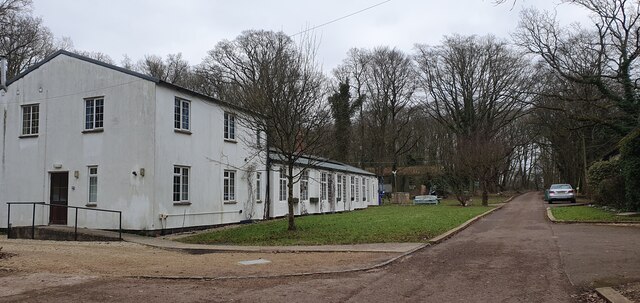
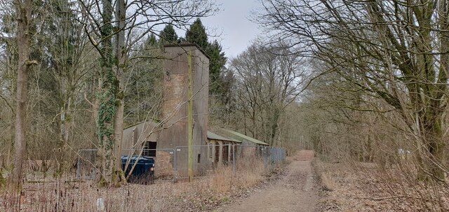
RAF Southrop
Royal Air Force Southrop or more simply RAF Southrop is a former Royal Air Force satellite station west of the village of Southrop, Gloucestershire during...
Hatherop
Hatherop is a village and civil parish in the Cotswolds Area of Outstanding Natural Beauty, about 2.5 miles (4.0 km) north of Fairford in Gloucestershire...
Quenington Preceptory
Quenington Preceptory was a preceptory of the Knights Hospitaller in Quenington, Gloucestershire, England. The manor of Quenington was given by Agnes de...

Coln St. Aldwyns
Coln St. Aldwyns (sometimes Coln St. Aldwyn) is a village and civil parish in the Cotswold district of the English county of Gloucestershire. == History... ==
Nearby Amenities
Located within 500m of 51.743376,-1.7514603Have you been to Barn Ground Belt?
Leave your review of Barn Ground Belt below (or comments, questions and feedback).