Anchor Wood
Wood, Forest in Yorkshire
England
Anchor Wood

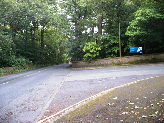
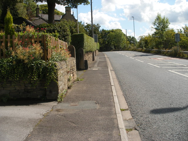
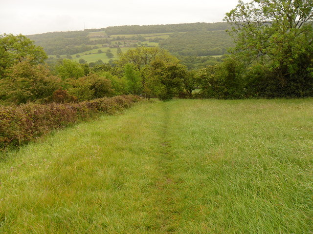
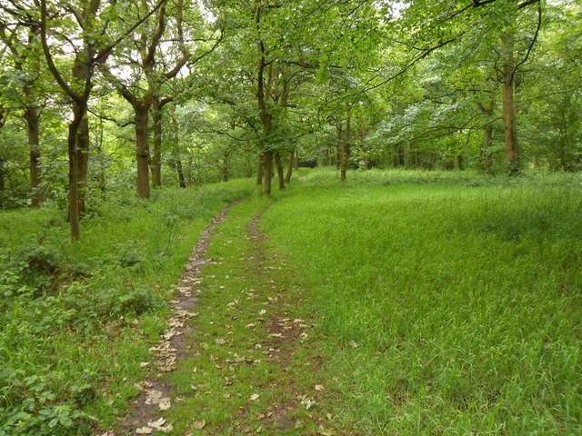
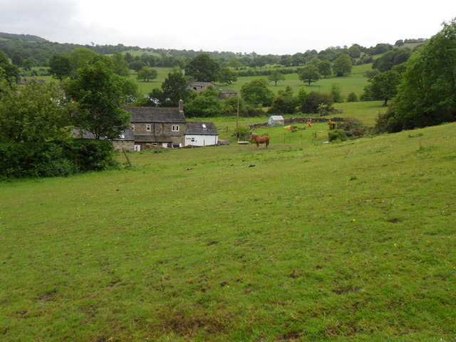
Anchor Wood is a picturesque forest located in the county of Yorkshire, England. Spanning over a vast area, this woodland is known for its natural beauty and diverse ecosystem. The wood is situated near the village of Anchor, hence its name, and is a popular destination for nature enthusiasts and hikers alike.
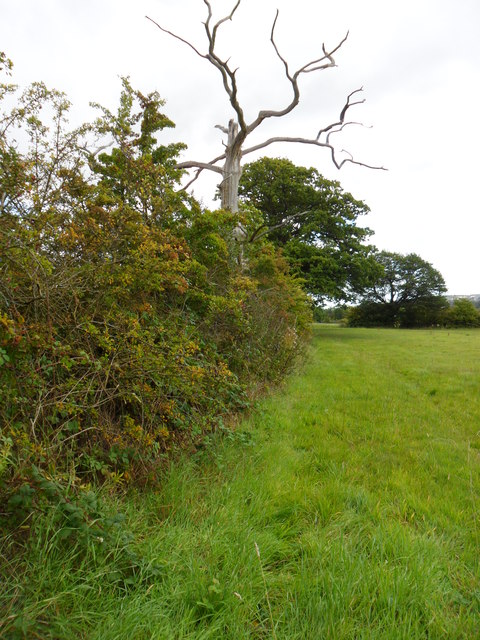
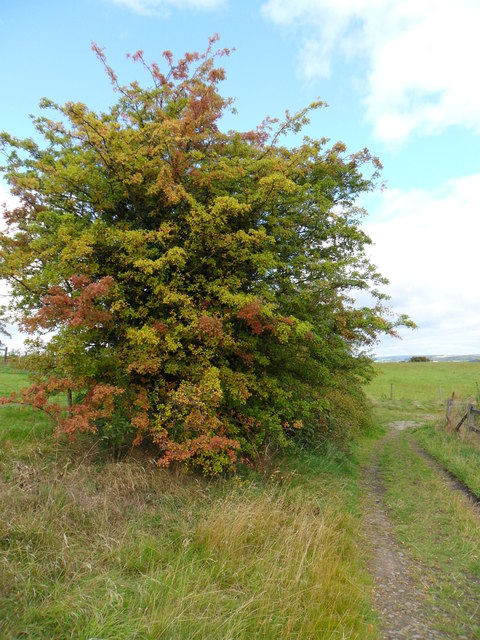
The forest is characterized by its dense canopy of towering trees, primarily consisting of oak, beech, and ash. These majestic trees create a tranquil and serene environment, providing a habitat for a wide range of flora and fauna. Visitors can expect to encounter various species of birds, small mammals, and even deer while exploring the wood.
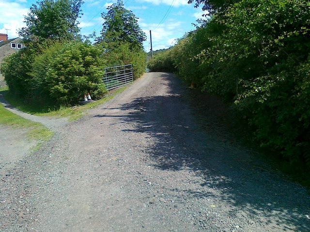
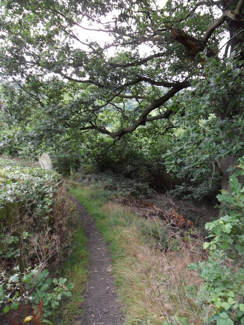
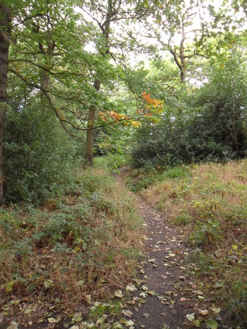
Anchor Wood is crisscrossed with numerous walking trails, allowing visitors to immerse themselves in its natural splendor. These paths wind through the forest, offering glimpses of enchanting streams and hidden glades along the way. The forest floor is adorned with a rich carpet of ferns, mosses, and wildflowers, adding to its charm and beauty.
In addition to its scenic allure, Anchor Wood also holds historical significance. It is believed that the wood has been in existence for several centuries, and remnants of ancient settlements and archaeological sites have been discovered within its boundaries.
Overall, Anchor Wood in Yorkshire is a captivating destination for those seeking solace in nature. Whether it's for a peaceful walk, wildlife spotting, or a glimpse into history, this forest has something to offer for everyone.
If you have any feedback on the listing, please let us know in the comments section below.
Anchor Wood Images
Images are sourced within 2km of 53.622781/-1.7414147 or Grid Reference SE1714. Thanks to Geograph Open Source API. All images are credited.


Anchor Wood is located at Grid Ref: SE1714 (Lat: 53.622781, Lng: -1.7414147)
Division: West Riding
Unitary Authority: Kirklees
Police Authority: West Yorkshire
What 3 Words
///humidity.blurs.squeezed. Near Kirkburton, West Yorkshire
Nearby Locations
Related Wikis

South Pennines
The South Pennines is a region of moorland and hill country in northern England lying towards the southern end of the Pennines. In the west it includes...

King James's School, Almondbury
King James's School is a coeducational secondary school located in Almondbury in the English county of West Yorkshire. == History == King James's Grammar...
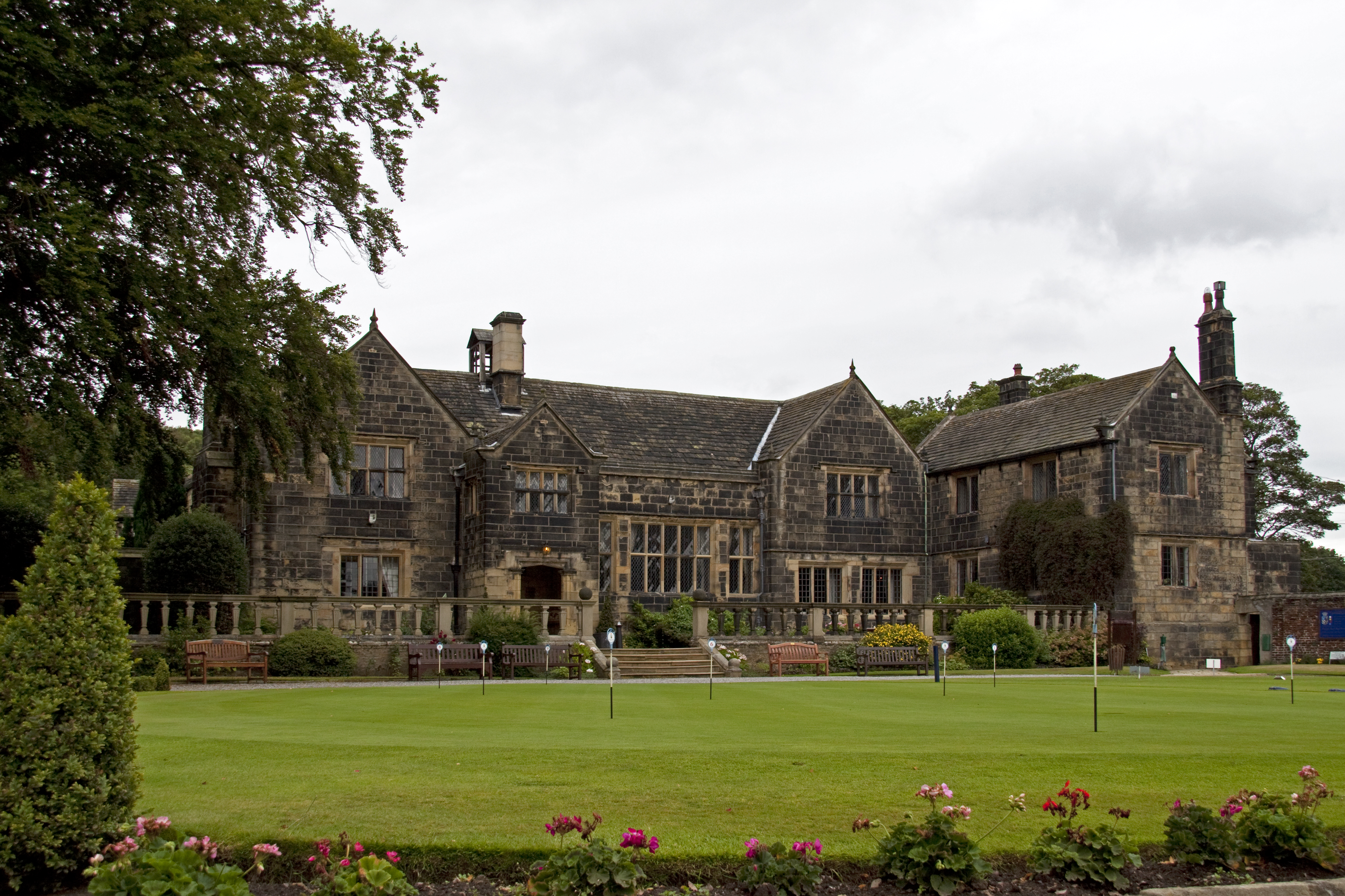
Woodsome Hall
Woodsome Hall is a 16th-century country house in the parish of Almondbury, near Huddersfield, West Yorkshire, England. It is now the clubhouse of Woodsome...

Almondbury
Almondbury (English: ) is a village 2 miles (3.2 km) south-east of Huddersfield town centre in West Yorkshire, England. The population of Almondbury in...

Farnley Tyas
Farnley Tyas is a village in the parish of Kirkburton, in the Kirklees district, in the county of West Yorkshire, England 3 miles (4.8 km) south east of...

Storthes Hall
Storthes Hall is part of the civil parish of Kirkburton in West Yorkshire, England. A heavily wooded area, it comprises a single road, Storthes Hall Lane...
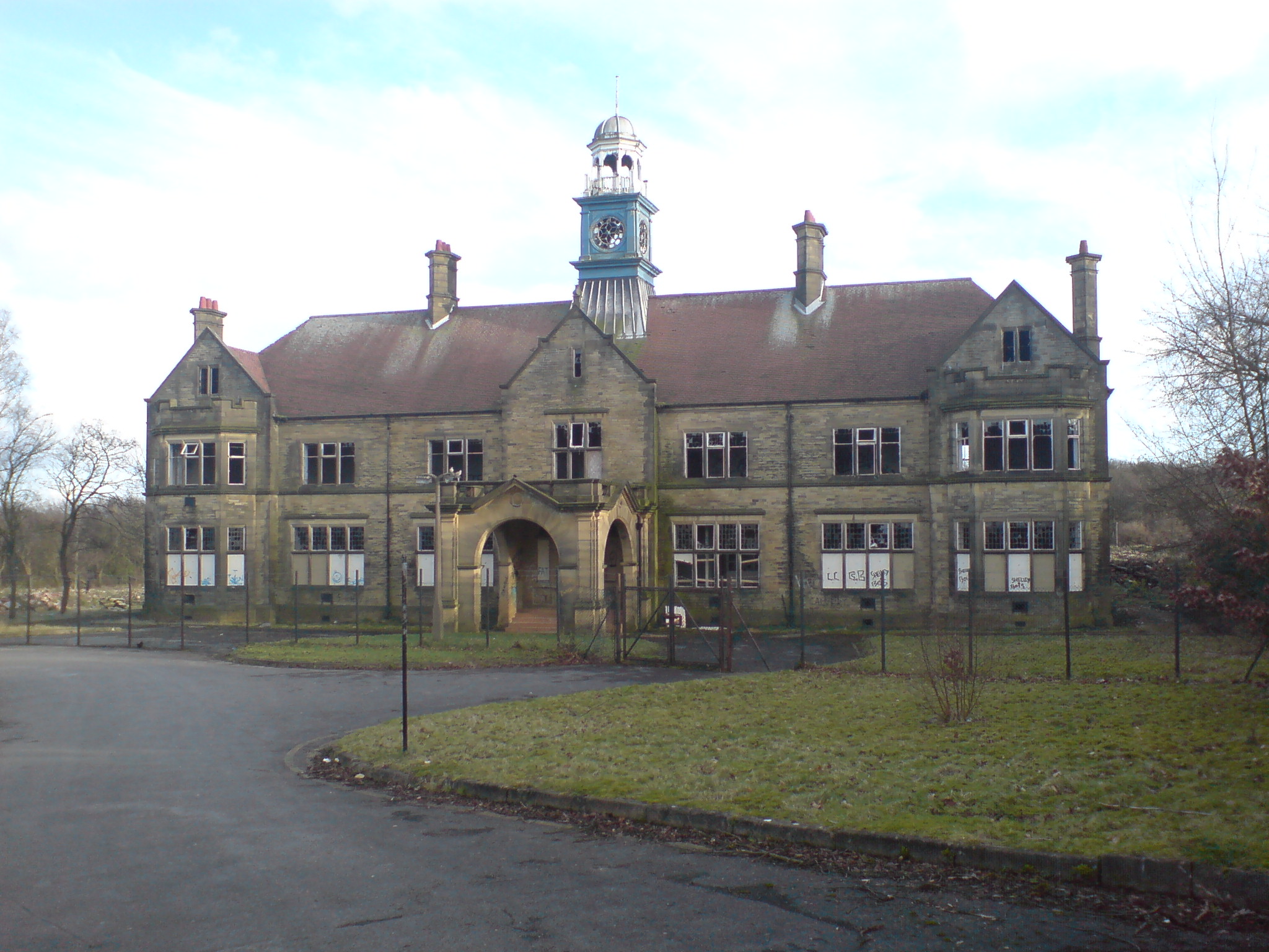
Storthes Hall Hospital
Storthes Hall Hospital was a mental health facility at Storthes Hall, Huddersfield, West Yorkshire, England. Founded in 1904, it expanded to over 3,000...
Hill View Academy
Hill View Academy (formerly Almondbury Community School) is a 3–11 mixed primary school with academy status in Almondbury, West Yorkshire, England. It...
Related Videos

Farnley Tyas - Castle Hill
todays walk to be honest was just a get out and find somewhere to walk, not even a long walk as there was one of the storms ...

Castle hill Huddersfield
Exploring the historical castle hill in Huddersfield. Walking around exploring and taking in the views. #castle #huddersfield ...

Ryburn Reservoir - Ripponden & Castle Hill - Huddersfield
Halifax - Ripponden & Huddersfield - Castle Hill.
Nearby Amenities
Located within 500m of 53.622781,-1.7414147Have you been to Anchor Wood?
Leave your review of Anchor Wood below (or comments, questions and feedback).