Coal Pit Wood

Wood, Forest in Yorkshire

England

Coal Pit Wood

Footpath near Barnside, Hepworth The footpath goes to Ox Lee. It crosses a stream on a simple plank bridge.
Footpath near Barnside, Hepworth Credit: Humphrey Bolton

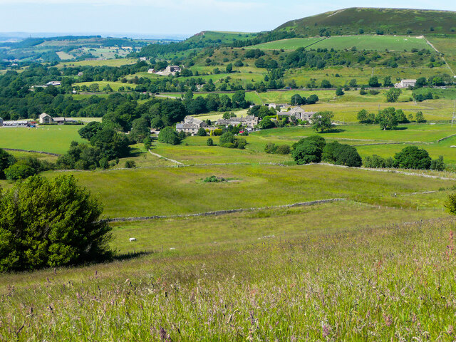
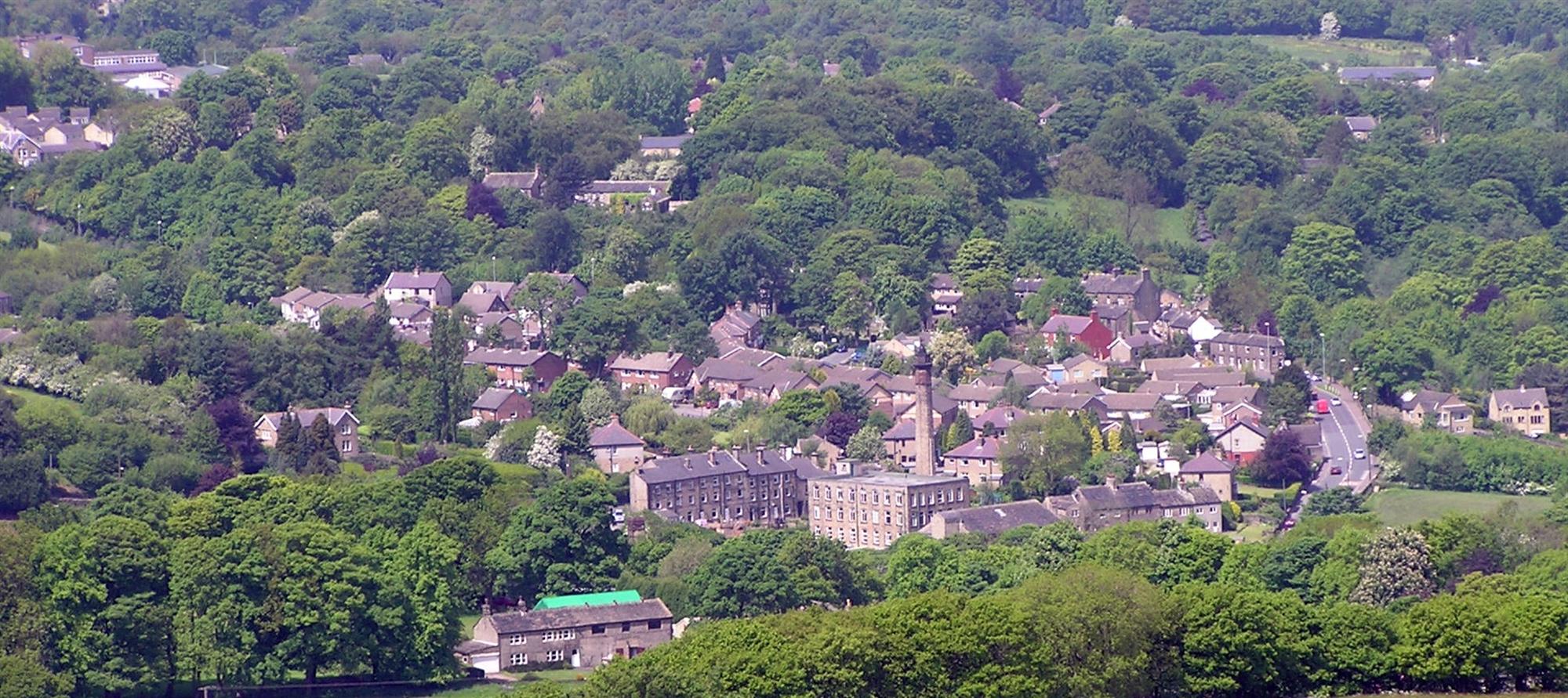
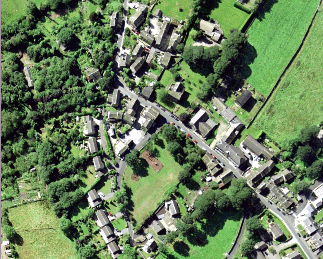
Coal Pit Wood is a picturesque woodland located in the county of Yorkshire, England. Situated on the outskirts of a small village, this woodland spans an area of approximately 100 acres, making it a significant natural feature in the region. The wood derives its name from the coal mining activities that took place in the area in the past, lending a historical significance to the site.

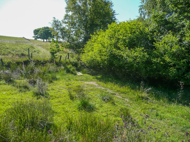
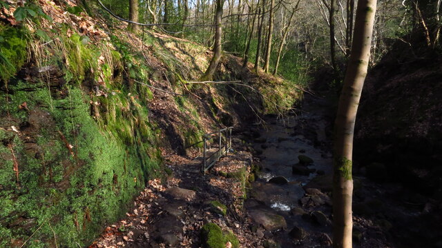
Coal Pit Wood is predominantly composed of mature deciduous trees, such as oak, beech, and ash, which create a dense canopy overhead. The forest floor is covered in a thick carpet of mosses, ferns, and wildflowers, providing a diverse habitat for a range of flora and fauna. It is a beloved spot for nature enthusiasts, as it offers an abundance of wildlife, including various bird species, small mammals, and even rare insects.

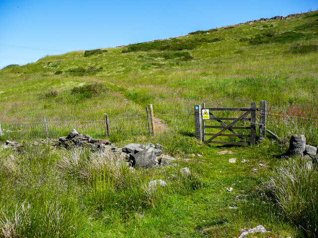
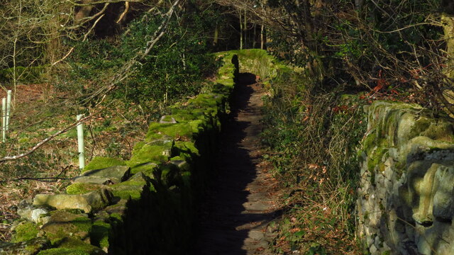
The wood features several well-maintained walking trails, allowing visitors to explore its natural beauty at their own pace. The paths wind through the trees, occasionally opening up to reveal tranquil glades and small streams that meander through the woodland. The peaceful atmosphere of Coal Pit Wood makes it a popular destination for those seeking solitude and a connection with nature.

Given its close proximity to the village, the wood is often frequented by locals who enjoy walking their dogs or simply taking a leisurely stroll amidst the serene surroundings. The management of Coal Pit Wood is overseen by a local conservation group, ensuring that the woodland remains protected and preserved for future generations to enjoy.

If you have any feedback on the listing, please let us know in the comments section below.

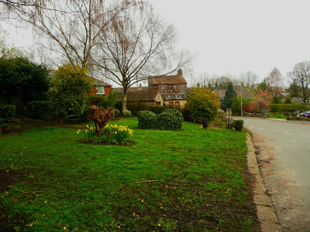
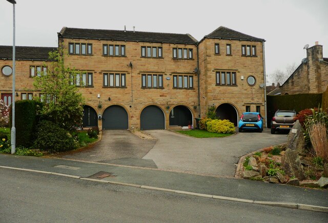
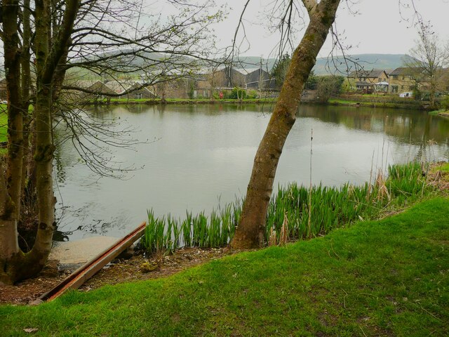
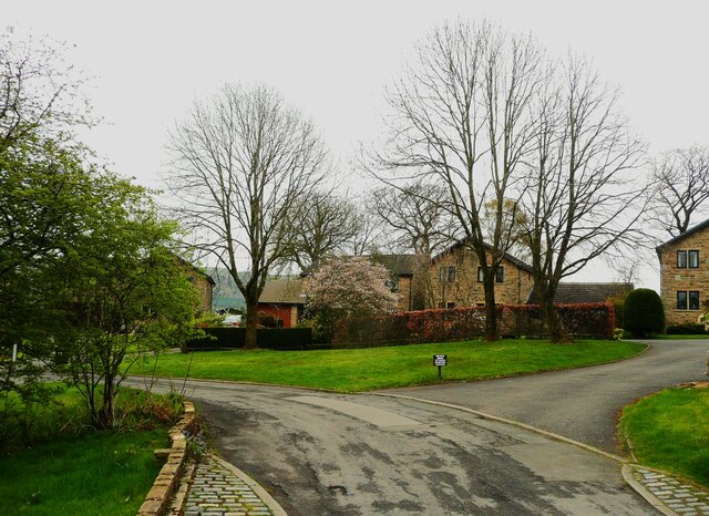
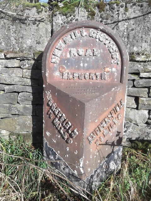
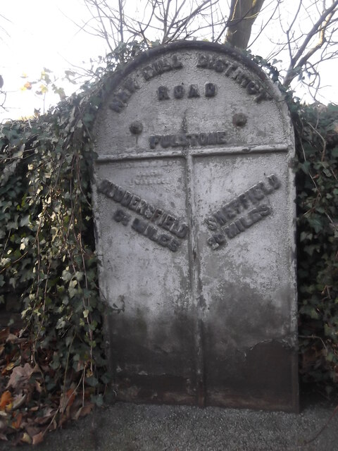
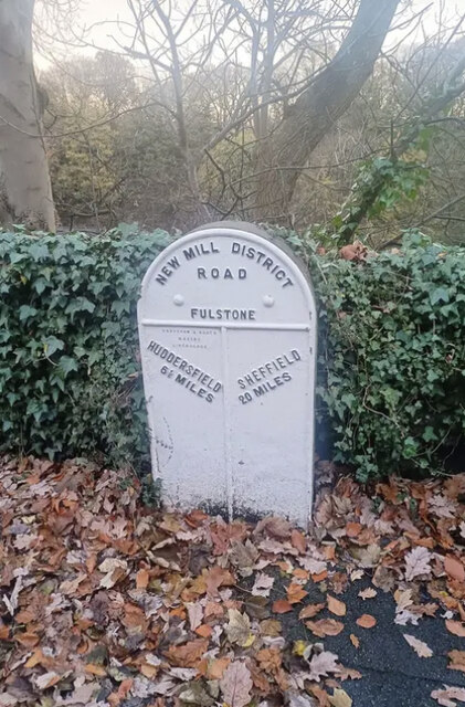
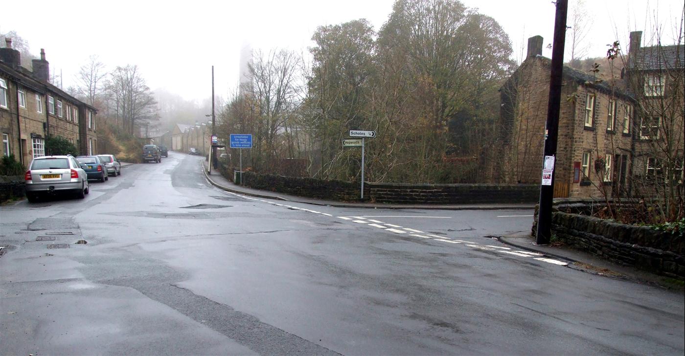
Coal Pit Wood Images

Images are sourced within 2km of 53.561656/-1.7434479 or Grid Reference SE1707. Thanks to Geograph Open Source API. All images are credited.

Footpath near Barnside, Hepworth The footpath goes to Ox Lee. It crosses a stream on a simple plank bridge.
Footpath near Barnside, Hepworth
The footpath goes to Ox Lee. It crosses a stream on a simple plank bridge.
Gate on the bridleway east of Ox Lee, Hepworth The bridleway climbs up onto the shoulder of the hill.
Gate on the bridleway east of Ox Lee, Hepworth
The bridleway climbs up onto the shoulder of the hill.
View towards Barnside, Hepworth This is a revisit to <a href="https://www.geograph.org.uk/photo/39581">SE1705 : Barnside hamlet, Hepworth</a>. More trees on the far hillside, but otherwise little change.
View towards Barnside, Hepworth
This is a revisit to SE1705 : Barnside hamlet, Hepworth. More trees on the far hillside, but otherwise little change.
Old milestone On the A635 from Shepley Lane Head down into New Mills and Holmfirth is a West Riding CC 19C milestone which is the last in the series east from Greenfield which used to be in Yorkshire.  The tollroad from Greenfield to Shepley Lane Head was first enacted in 1823. The milestone is opposite Gate Foot Lane and a pub.   This used to be the Crossroads PH then renamed Toss 'o Coin now derelict.   This metal attachment has the name of the foundry on the bevel, Brayshaw & Booth/Makers/Liversedge.  The stone is painted black.  Grade II listed 1313617.
Old milestone
On the A635 from Shepley Lane Head down into New Mills and Holmfirth is a West Riding CC 19C milestone which is the last in the series east from Greenfield which used to be in Yorkshire. The tollroad from Greenfield to Shepley Lane Head was first enacted in 1823. The milestone is opposite Gate Foot Lane and a pub. This used to be the Crossroads PH then renamed Toss 'o Coin now derelict. This metal attachment has the name of the foundry on the bevel, Brayshaw & Booth/Makers/Liversedge. The stone is painted black. Grade II listed 1313617.
Old milestone In 2017 this West Riding CC milestone from 1893/94 had lost most of its paint.   It is not known who has painted it but it certainly looks much smarter.   It is nearly opposite Gate Head Lane and Gatehead Methodist Chapel which on the day of this photo was 'SOLD'. After passing the milestone going southwards there is a sharp left bend and a short distance up the road is a tollhouse from the Wadsley and Langsett, Holmfirth District, turnpike first enacted in 1823, closed in 1879.  The milestone is Grade II listed 1191204.
Old milestone
In 2017 this West Riding CC milestone from 1893/94 had lost most of its paint. It is not known who has painted it but it certainly looks much smarter. It is nearly opposite Gate Head Lane and Gatehead Methodist Chapel which on the day of this photo was 'SOLD'. After passing the milestone going southwards there is a sharp left bend and a short distance up the road is a tollhouse from the Wadsley and Langsett, Holmfirth District, turnpike first enacted in 1823, closed in 1879. The milestone is Grade II listed 1191204.
Path through Morton Wood, Dean Dike near Hepworth
Hepworth - Holy Trinity Church
Enclosed path running N down to Dean Dike from Hepworth Church
Scholes Methodist Church, Wadman Road This is the entrance doorway and a tall corner window.
Scholes Methodist Church, Wadman Road
This is the entrance doorway and a tall corner window.
A little park at the wells, White Wells Road, Scholes The pump base and well weren't photogenic; they could do with cleaning and tidying.
A little park at the wells, White Wells Road, Scholes
The pump base and well weren't photogenic; they could do with cleaning and tidying.
Houses on Wickleton Gate, Scholes Houses with an unusual design, with arched entrances to the lower ground floor.
Houses on Wickleton Gate, Scholes
Houses with an unusual design, with arched entrances to the lower ground floor.
Millpond, Lee Mills, Scholes This is now a fishing lake. I had hoped that there was a path alongside it to the bottom end of St George's Road but the gate was locked, with a Keep Out sign. The heron that I saw had no such problems.
Millpond, Lee Mills, Scholes
This is now a fishing lake. I had hoped that there was a path alongside it to the bottom end of St George's Road but the gate was locked, with a Keep Out sign. The heron that I saw had no such problems.
Grass and trees, Wickleden Gate, Scholes It is good that three mature trees have been spared and a grass are created for them. These trees were on an old field boundary, so were probably hedgerow trees. there was a small mill dam behind them.
Grass and trees, Wickleden Gate, Scholes
It is good that three mature trees have been spared and a grass are created for them. These trees were on an old field boundary, so were probably hedgerow trees. there was a small mill dam behind them.
Old milestone The 1893/94 West Riding CC milestone on the A616 in Hepworth becomes more desperate for a repaint as years roll by.   It is on a narrow verge on a sharp bend, Sheffield Road, Hepworth.   Eight milestones were commissioned for the New Mill District of the Sheffield to Huddersfield route, 7 are still in situ.  This one is Grade II listed 1134817.
Old milestone
The 1893/94 West Riding CC milestone on the A616 in Hepworth becomes more desperate for a repaint as years roll by. It is on a narrow verge on a sharp bend, Sheffield Road, Hepworth. Eight milestones were commissioned for the New Mill District of the Sheffield to Huddersfield route, 7 are still in situ. This one is Grade II listed 1134817.
Old milestone Where space on a road or path was limited, Brayshaw and Booth of Liversedge made flat castings for the West Riding CC instead of protruding ones.   This one is on the A616 Sheffield Road, New Mill opposite No. 30 Fulstone.   When a town name had more than 10 letters the name had to be cast at an angle as with Huddersfield.   Then Sheffield was cast the same way to match.   The foundry name on these flat plates is always at the top of the left-hand side.  This milestone is Grade II listed 1228473.
Old milestone
Where space on a road or path was limited, Brayshaw and Booth of Liversedge made flat castings for the West Riding CC instead of protruding ones. This one is on the A616 Sheffield Road, New Mill opposite No. 30 Fulstone. When a town name had more than 10 letters the name had to be cast at an angle as with Huddersfield. Then Sheffield was cast the same way to match. The foundry name on these flat plates is always at the top of the left-hand side. This milestone is Grade II listed 1228473.
Old Milestone, A616, Sheffield Road, New Mill Opposite No 30 Fulstone. Located on the West side of road, opposite a terrace row, against stone wall. Metal plate attached to stone post, Brayshaw & Booth casting design, erected by Wadsley & Langsett - New Mill District turnpike trust, 19th century. An earlier photograph can be found here <a title="https://www.geograph.org.uk/photo/6748931" href="https://www.geograph.org.uk/photo/6748931">Link</a>.

Inscription reads: HUDDERSFIELD / 6½ MILES :: SHEFFIELD / 20 MILES // NEW MILL DISTRICT / ROAD / FULSTONE :: BRAYSHAW & BOOTH / MAKERS / LIVERSEDGE 

Grade II listed by Historic England. <span class="nowrap"><a title="https://historicengland.org.uk/listing/the-list/list-entry/1228473" rel="nofollow ugc noopener" href="https://historicengland.org.uk/listing/the-list/list-entry/1228473">Link</a><img style="margin-left:2px;" alt="External link" title="External link - shift click to open in new window" src="https://s1.geograph.org.uk/img/external.png" width="10" height="10"/></span>

Milestone Society National ID: YW_SFHU20
Old Milestone, A616, Sheffield Road, New Mill
Opposite No 30 Fulstone. Located on the West side of road, opposite a terrace row, against stone wall. Metal plate attached to stone post, Brayshaw & Booth casting design, erected by Wadsley & Langsett - New Mill District turnpike trust, 19th century. An earlier photograph can be found here Link. Inscription reads: HUDDERSFIELD / 6½ MILES :: SHEFFIELD / 20 MILES // NEW MILL DISTRICT / ROAD / FULSTONE :: BRAYSHAW & BOOTH / MAKERS / LIVERSEDGE Grade II listed by Historic England. LinkExternal link Milestone Society National ID: YW_SFHU20
Approach to Scholes
Approach to Scholes
Little Cake from Scholes Moor Road The road is named "Little Cake" and goes towards Little Cake which is "a small hamlet" according to the sales details for one of its houses. Not shown on the maps.
Little Cake from Scholes Moor Road
The road is named "Little Cake" and goes towards Little Cake which is "a small hamlet" according to the sales details for one of its houses. Not shown on the maps.
Show me another place!

Coal Pit Wood is located at Grid Ref: SE1707 (Lat: 53.561656, Lng: -1.7434479)

Division: West Riding

Unitary Authority: Kirklees

Police Authority: West Yorkshire

What 3 Words

///tangible.wizards.blurs. Near Shepley, West Yorkshire

Related Wikis

Hepworth, West Yorkshire

Hepworth is a village and former civil parish, now in the parish of Holme Valley, in the metropolitan borough of Kirklees, in West Yorkshire, England....

Jackson Bridge

Jackson Bridge is a small village in the civil parish of Holme Valley in the Metropolitan Borough of Kirklees in West Yorkshire, England and within the...

Scholes, Holme Valley

Scholes is a village and former civil parish, now in the parish of Holme Valley, in Kirklees, West Yorkshire, England. It is situated 1 mile (2 km) to...

Barnside

Barnside is a hamlet on Barnside Lane approximately 3/4 mile to the southeast of Hepworth in West Yorkshire, England. It is in the civic parish of Holme...

A635 road

The A635 is a main road that runs between Manchester and Doncaster running east–west through Stalybridge, Saddleworth Moor, Holmfirth, Barnsley and the...

New Mill, West Yorkshire

New Mill, West Yorkshire, England, is a small, semi-rural village near the town of Holmfirth. It is in the metropolitan borough of Kirklees and the civil...

Totties

Totties is a hamlet between New Mill and Scholes near Holmfirth in West Yorkshire, England. Although it consists of no more than 70-80 houses, it has within...

Wooldale

Wooldale is a small village nestled on a hill, overlooking the Kirkroyds area of New Mill, Holmfirth in West Yorkshire, England. It has a population of...

Related Videos

Hiking around Summer wine Country

Hiking around Holmfirth Holmbrige Lovely views Great Lovely Old spectacular English village here in the Heart of Holmfirth ...

HOLMFIRTH England | Full tour of Holmfirth West Yorkshire, Last Of The Summer Wine Country (4K WALK)

HOLMFIRTH England | Full tour of Holmfirth West Yorkshire, Last Of The Summer Wine Country (4K) Full 4k Virtual Walk through ...

Holmfirth, West Yorkshire【4K】| Town Centre Walk 2021

Join me for a walk around the centre of one of Yorkshire's favourite towns, Holmfirth! The home of the world's longest-running TV ...

Nearby Amenities

Located within 500m of 53.561656,-1.7434479
Barrier: block
Material: concrete
Motor Vehicle: no
Source: survey
Source Date: 2022-06-19
Lat/Long: 53.5590859/-1.741744
Power: pole
Lat/Long: 53.5621324/-1.7495254
Power: pole
Lat/Long: 53.5620336/-1.7482991
Power: pole
Lat/Long: 53.5627875/-1.7460469
Power: pole
Lat/Long: 53.5632889/-1.7452735
Power: pole
Lat/Long: 53.5638452/-1.7444755
Power: pole
Lat/Long: 53.5651115/-1.7453351
Power: pole
Lat/Long: 53.5628039/-1.7439462
Power: pole
Lat/Long: 53.5617621/-1.7434124
Power: pole
Lat/Long: 53.5603553/-1.7433051
Power: pole
Lat/Long: 53.5589119/-1.7432273
Power: pole
Lat/Long: 53.5576182/-1.7431495
Bench
Backrest: yes
Lat/Long: 53.558517/-1.7418652
Barrier: block
Material: concrete
Motor Vehicle: no
Source: survey
Source Date: 2022-06-19
Lat/Long: 53.5643782/-1.7434063
Barrier: stile
Material: wood
Step Count: 1
Stile: stepover
Lat/Long: 53.5636085/-1.7449639
Barrier: stile
Material: wood
Step Count: 1
Stile: stepover
Lat/Long: 53.5626448/-1.7455631
Barrier: kissing_gate
Lat/Long: 53.560562/-1.7399966
Barrier: stile
Step Count: 1
Stile: stepover
Lat/Long: 53.560939/-1.7414374
Information: guidepost
Tourism: information
Lat/Long: 53.5610067/-1.7420346
Barrier: kissing_gate
Lat/Long: 53.5600798/-1.7396719
Barrier: stile
Stile: stepover
Lat/Long: 53.5621095/-1.740888
Barrier: stile
Lat/Long: 53.5639055/-1.7445683
Barrier: stile
Stile: stepover
Lat/Long: 53.5637312/-1.7423039
Direction: 206
Tourism: viewpoint
Lat/Long: 53.5637029/-1.7426423
Parking
Capacity: 5
Parking: layby
Lat/Long: 53.5637171/-1.7425692
Bench
Backrest: yes
Lat/Long: 53.5637014/-1.7425957
Barrier: stile
Stile: stepover
Lat/Long: 53.5629664/-1.7384045
Noexit: yes
Lat/Long: 53.5638772/-1.7445289
Barrier: stile
Stile: stepover
Lat/Long: 53.5658989/-1.7443347
Barrier: block
Lat/Long: 53.5659597/-1.7423278
Barrier: block
Lat/Long: 53.5643399/-1.7433183
The data included in this document is from www.openstreetmap.org. The data is made available under ODbL.

Have you been to Coal Pit Wood?

Leave your review of Coal Pit Wood below (or comments, questions and feedback).