Craggy Wood

Wood, Forest in Northumberland

England

Craggy Wood

Wind Turbines, North Charlton Moor
Wind Turbines, North Charlton Moor Credit: David Dixon

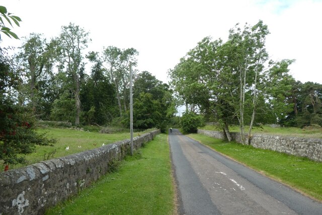
Craggy Wood is a stunning forest located in the county of Northumberland, England. Spanning over a vast area, this woodland is renowned for its natural beauty and diverse range of flora and fauna. It is situated at the edge of the picturesque Northumberland National Park, adding to its allure.

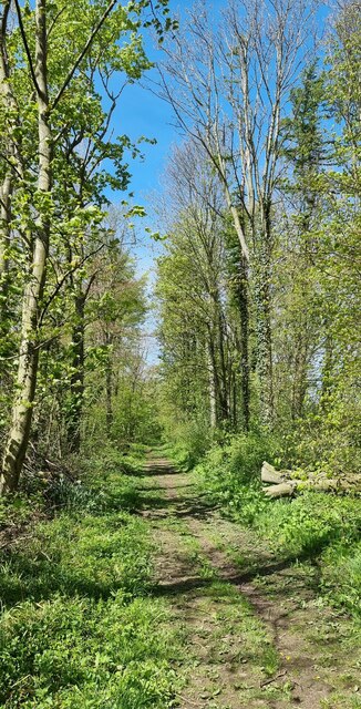
The name "Craggy Wood" aptly describes the terrain of this forest, as it is characterized by rugged and rocky landscapes. The forest is predominantly composed of deciduous trees, such as oak, beech, and birch, creating a rich and vibrant canopy throughout the year. The woodland floor is adorned with a carpet of ferns, mosses, and wildflowers, adding to the enchanting atmosphere.

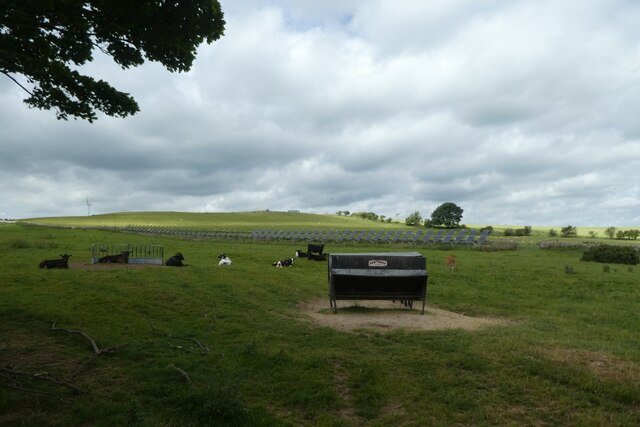
Craggy Wood is a haven for wildlife enthusiasts, as it is home to a wide array of animals. Visitors may spot red squirrels darting among the trees or catch a glimpse of roe deer gracefully navigating through the undergrowth. Birdwatchers will be delighted by the diverse avian population, including buzzards, woodpeckers, and various species of owls.

The forest offers various walking trails and paths, providing opportunities for outdoor enthusiasts to explore its hidden corners. These trails cater to different levels of difficulty, ensuring that both casual walkers and experienced hikers can enjoy the beauty of Craggy Wood. Additionally, there are picnic areas and benches scattered throughout the forest, inviting visitors to relax and immerse themselves in the tranquility of nature.

Craggy Wood truly encapsulates the natural wonders of Northumberland, making it a must-visit destination for nature lovers and those seeking a peaceful retreat amidst breathtaking scenery.

If you have any feedback on the listing, please let us know in the comments section below.
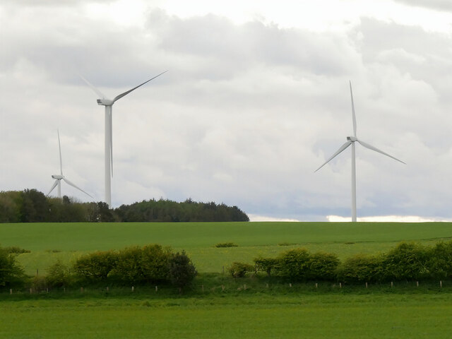
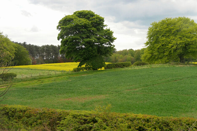
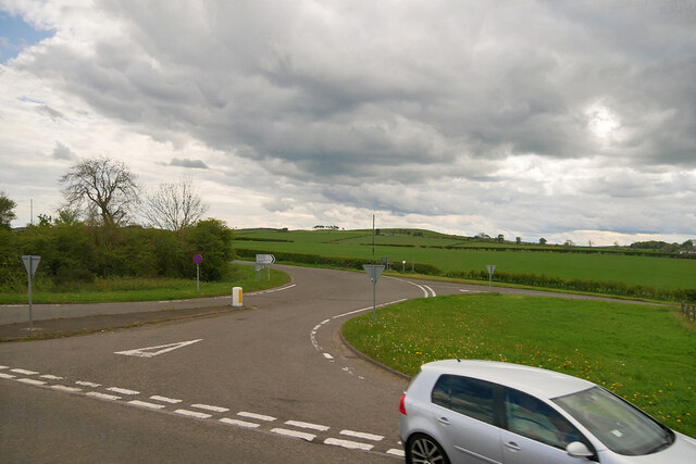
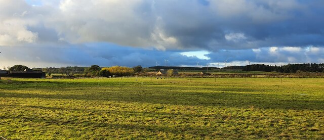
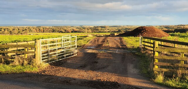
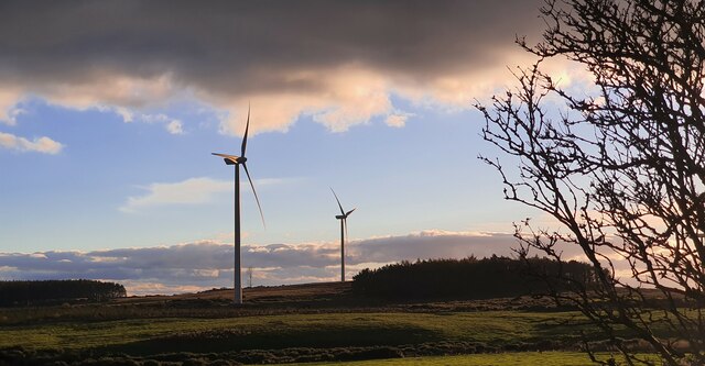
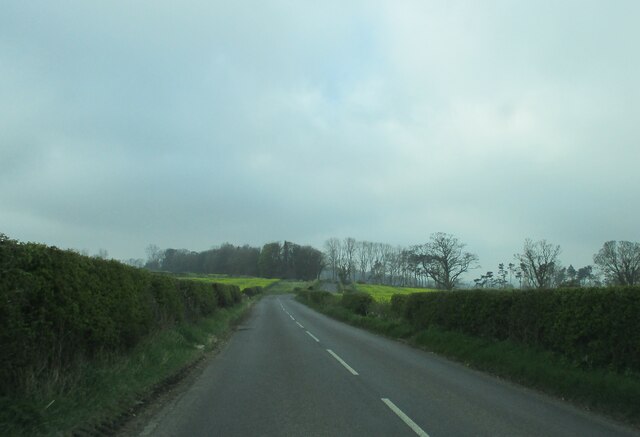
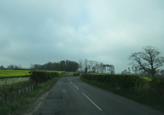
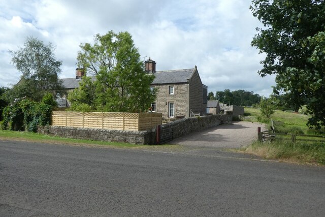
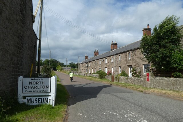
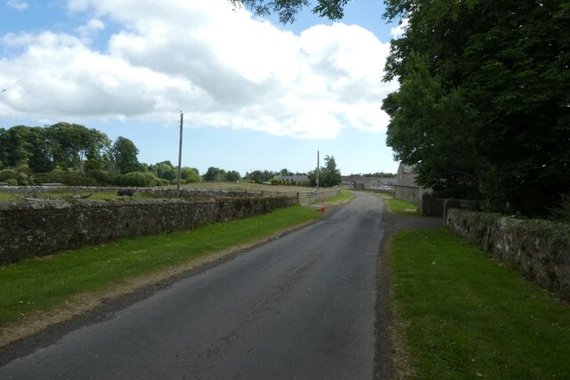
Craggy Wood Images

Images are sourced within 2km of 55.482831/-1.7311904 or Grid Reference NU1721. Thanks to Geograph Open Source API. All images are credited.

Wind Turbines, North Charlton Moor
Fields between South Charlton and North Charlton
Patterson's Cottage Boarding Kennels Alongside the northbound A1 near North Charlton.
Patterson's Cottage Boarding Kennels
Alongside the northbound A1 near North Charlton.
B6341/A1 Junction, South Charlton The B6341 (and B6347) join the A1 at South Charlton.
B6341/A1 Junction, South Charlton
The B6341 (and B6347) join the A1 at South Charlton.
South Charlton, Northumberland A bend in the B6341 in the vicinity of South Charlton.
South Charlton, Northumberland
A bend in the B6341 in the vicinity of South Charlton.
South Charlton, Northumberland Late afternoon light falling over pastureland to the south of South Charlton, in the distance Longlee Moor can be seen.
South Charlton, Northumberland
Late afternoon light falling over pastureland to the south of South Charlton, in the distance Longlee Moor can be seen.
North Charlton, Northumberland Looking southeast over farmland to the southwest of North Charlton, the coast can be seen in the far distance.
North Charlton, Northumberland
Looking southeast over farmland to the southwest of North Charlton, the coast can be seen in the far distance.
Linkhall Moor, Northumberland From the vicinity of Moor Edge Plantation looking towards wind turbines on Linkhall Moor.
Linkhall Moor, Northumberland
From the vicinity of Moor Edge Plantation looking towards wind turbines on Linkhall Moor.
Rock, Northumberland Looking west long a track to the west of the village of Rock.
Rock, Northumberland
Looking west long a track to the west of the village of Rock.
The  B6347  south  toward  Rock  Moor  House
The B6347 south toward Rock Moor House
Countryside  toward  Yearsley  Plantation  on  B6347
Countryside toward Yearsley Plantation on B6347
Approaching  road  junction  at  Rock  Moor  Farm Yearsley Plantation to my left
Approaching road junction at Rock Moor Farm
Yearsley Plantation to my left
Cottages  at  Rock  Moor  Farm On the road to Rock and Rennington
Cottages at Rock Moor Farm
On the road to Rock and Rennington
Cottages in North Charlton Looking across the road from the track to the A1 underpass.
Cottages in North Charlton
Looking across the road from the track to the A1 underpass.
North Charlton Looking along the road leading towards Chillingham.
North Charlton
Looking along the road leading towards Chillingham.
Road through North Charlton Looking through the village which is situated beside the A1.
Road through North Charlton
Looking through the village which is situated beside the A1.
Road west from North Charlton Leading towards Chillingham.
Road west from North Charlton
Leading towards Chillingham.
Cattle near North Charlton Looking across farmland to the west of the village.
Cattle near North Charlton
Looking across farmland to the west of the village.
Show me another place!

Craggy Wood is located at Grid Ref: NU1721 (Lat: 55.482831, Lng: -1.7311904)

Unitary Authority: Northumberland

Police Authority: Northumbria

What 3 Words

///neon.surfacing.blast. Near Ellingham, Northumberland

Related Wikis

South Charlton

South Charlton is a small village and former civil parish, now in the parish of Eglingham, in the county of Northumberland, England, five miles (8 km)...

North Charlton

North Charlton is a hamlet and former civil parish, now in the parish of Eglingham, in Northumberland, England. It is situated between Alnwick and Berwick...

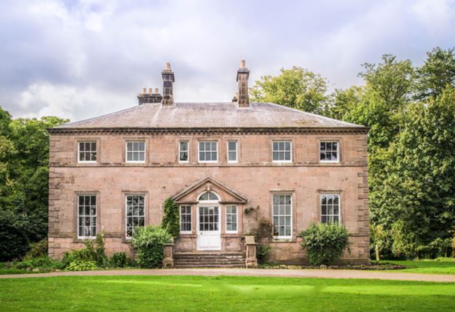
Charlton Hall, Northumberland

Charlton Hall near Ellingham, Northumberland is a building of historical significance and is listed Grade II* on the English Heritage Register. It was...

Brownieside

Brownieside is a hamlet in Northumberland, in England. It is situated between Alnwick and Berwick-upon-Tweed, on the A1 a short distance to the north of...

Nearby Amenities

Located within 500m of 55.482831,-1.7311904
Tourism: viewpoint
Lat/Long: 55.4819026/-1.7354948
Power: pole
Lat/Long: 55.4808197/-1.7382132
Power: pole
Lat/Long: 55.4811596/-1.7370888
Power: pole
Lat/Long: 55.4817707/-1.7357591
Power: pole
Lat/Long: 55.4823982/-1.734375
Power: pole
Lat/Long: 55.4832665/-1.7340425
Power: pole
Lat/Long: 55.4841559/-1.7337349
Power: pole
Lat/Long: 55.4846621/-1.7320374
Power: pole
Lat/Long: 55.4847868/-1.730604
Power: pole
Lat/Long: 55.4849484/-1.7289771
Power: pole
Lat/Long: 55.4850485/-1.727957
The data included in this document is from www.openstreetmap.org. The data is made available under ODbL.

Have you been to Craggy Wood?

Leave your review of Craggy Wood below (or comments, questions and feedback).