Budgehill Belt
Wood, Forest in Gloucestershire Cotswold
England
Budgehill Belt

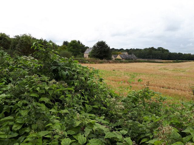
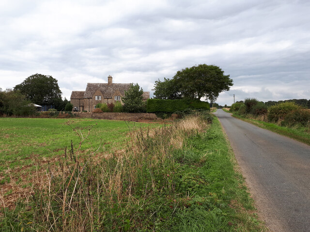
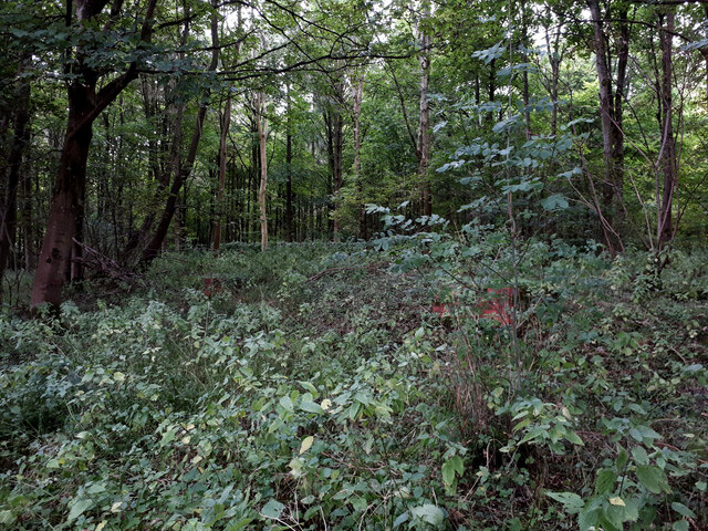
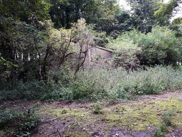
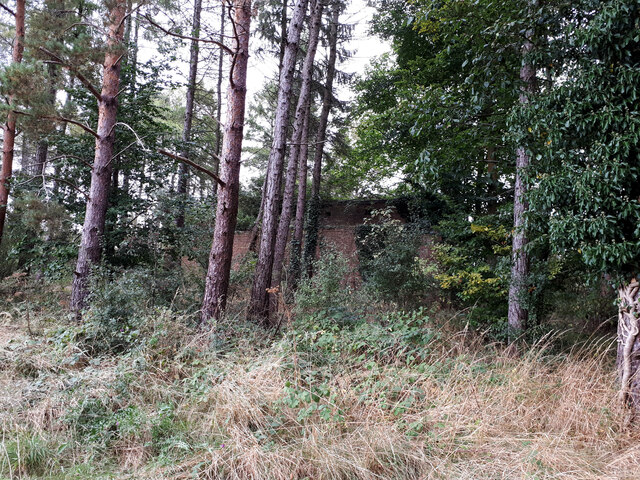
Budgehill Belt is a wood or forest located in Gloucestershire, England. This natural area is known for its picturesque beauty and diverse ecosystem. Covering an area of approximately 200 acres, Budgehill Belt is a haven for nature enthusiasts and a popular destination for outdoor activities.
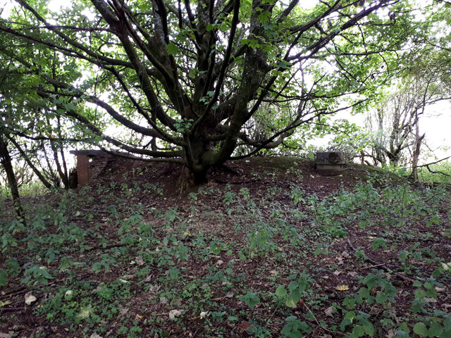
The wood is predominantly comprised of native deciduous trees such as oak, beech, and ash. These towering trees create a dense canopy, providing shade and shelter for a wide range of flora and fauna. The forest floor is carpeted with a variety of wildflowers, ferns, and mosses, adding to the enchanting atmosphere of the wood.
Budgehill Belt is also home to an array of wildlife. Visitors may spot woodland birds like woodpeckers, owls, and warblers, as well as mammals like deer, foxes, and badgers. The forest is also a habitat for various insects, including butterflies and beetles.
There are several well-maintained walking trails that wind through Budgehill Belt, allowing visitors to explore the wood's natural beauty. These trails offer stunning views of the surrounding countryside and provide opportunities for photography, birdwatching, and peaceful picnics.
The wood is managed by the local authorities, who ensure the preservation of its natural environment and protect its biodiversity. Visitors are encouraged to respect the wood by following designated trails, refraining from littering, and avoiding any damage to the flora and fauna.
Overall, Budgehill Belt is a captivating wood in Gloucestershire, offering an escape into nature and a chance to immerse oneself in the tranquility of a thriving forest ecosystem.
If you have any feedback on the listing, please let us know in the comments section below.
Budgehill Belt Images
Images are sourced within 2km of 51.807866/-1.754065 or Grid Reference SP1712. Thanks to Geograph Open Source API. All images are credited.


Budgehill Belt is located at Grid Ref: SP1712 (Lat: 51.807866, Lng: -1.754065)
Administrative County: Gloucestershire
District: Cotswold
Police Authority: Gloucestershire
What 3 Words
///artichoke.elder.imitate. Near Northleach, Gloucestershire
Nearby Locations
Related Wikis

RAF Windrush
Royal Air Force Windrush, or more simply RAF Windrush, is a former Royal Air Force satellite station near Windrush, Gloucestershire, England. It was opened...

Windrush, Gloucestershire
Windrush is a village and civil parish in Gloucestershire, England, approximately five miles southeast of Northleach. It lies in the Cotswolds on the River...

Church of St Peter, Windrush
The Anglican Church of St Peter at Windrush in the Cotswold District of Gloucestershire, England was built in the 12th century. It is a grade I listed...

Sherborne, Gloucestershire
Sherborne is a village and civil parish almost 3.5 miles (5.6 km) east of Northleach in Gloucestershire. Sherborne is a linear village, extending more...

Lodge Park and Sherborne Estate
Lodge Park was built as a grandstand in the Sherborne Estate near the villages of Sherborne, Aldsworth and Northleach in Gloucestershire, England. The...

Sherborne House, Gloucestershire
Sherborne House is a large house in the village of Sherborne, Gloucestershire, England. It is a former country house that has been converted into flats...
Church of St Bartholomew, Aldsworth
The Anglican Church of St Bartholomew at Aldsworth in the Cotswold District of Gloucestershire, England was built in the late 12th century. It is a grade...

Aldsworth
Aldsworth is a village and civil parish in the Cotswold district of Gloucestershire, about ten miles north-east of Cirencester. In 2010 its population...
Nearby Amenities
Located within 500m of 51.807866,-1.754065Have you been to Budgehill Belt?
Leave your review of Budgehill Belt below (or comments, questions and feedback).