Wilkinson Wood
Wood, Forest in Yorkshire Richmondshire
England
Wilkinson Wood

Wilkinson Wood is a serene and enchanting forest located in the picturesque region of Yorkshire, England. Spread across an expansive area, it is a haven for nature enthusiasts and avid hikers alike. The wood is named after the renowned explorer, John Wilkinson, who discovered it in the early 19th century.
As one ventures into Wilkinson Wood, they are greeted by a breathtaking display of lush greenery and towering trees. The forest is predominantly composed of ancient oak and beech trees, which have stood tall for centuries, lending an air of wisdom and mystique to the surroundings. The canopy formed by the dense foliage casts captivating patterns of light and shadow on the forest floor, creating a magical ambiance.
The wood is home to a diverse array of flora and fauna, making it a thriving ecosystem. Rare and endangered species of plants, including delicate wildflowers and vibrant fungi, can be discovered here. Wildlife enthusiasts can expect to encounter a variety of animals, such as deer, foxes, badgers, and a rich assortment of bird species.
For those seeking solace in nature, Wilkinson Wood offers numerous walking trails and pathways that wind through its enchanting landscape. Each trail provides a unique experience, whether it be a leisurely stroll along babbling brooks or a challenging hike up a steep incline. The wood also features several picnic areas and designated camping spots, allowing visitors to immerse themselves in the tranquility of the surroundings.
Wilkinson Wood is a true gem in Yorkshire, offering an idyllic escape from the hustle and bustle of everyday life. Its natural beauty, diverse ecosystem, and peaceful atmosphere make it a must-visit destination for anyone seeking a connection with nature.
If you have any feedback on the listing, please let us know in the comments section below.
Wilkinson Wood Images
Images are sourced within 2km of 54.312848/-1.7406779 or Grid Reference SE1690. Thanks to Geograph Open Source API. All images are credited.


Wilkinson Wood is located at Grid Ref: SE1690 (Lat: 54.312848, Lng: -1.7406779)
Division: North Riding
Administrative County: North Yorkshire
District: Richmondshire
Police Authority: North Yorkshire
What 3 Words
///subject.beyond.inclines. Near Leyburn, North Yorkshire
Nearby Locations
Related Wikis

Constable Burton
Constable Burton is a village and civil parish in North Yorkshire, England. It is 3 miles (4.8 km) east of Leyburn. == History == The village takes its...

Unthank, North Yorkshire
Unthank is a former village near Constable Burton in North Yorkshire, England. The village survived until some time in the 19th century. The site is currently...
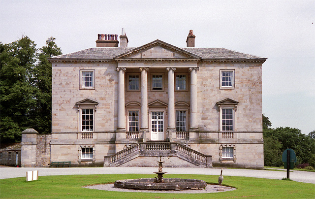
Constable Burton Hall
Constable Burton Hall is a Grade I-listed Georgian country house of dressed stone in an extensive and well wooded park in the village of Constable Burton...

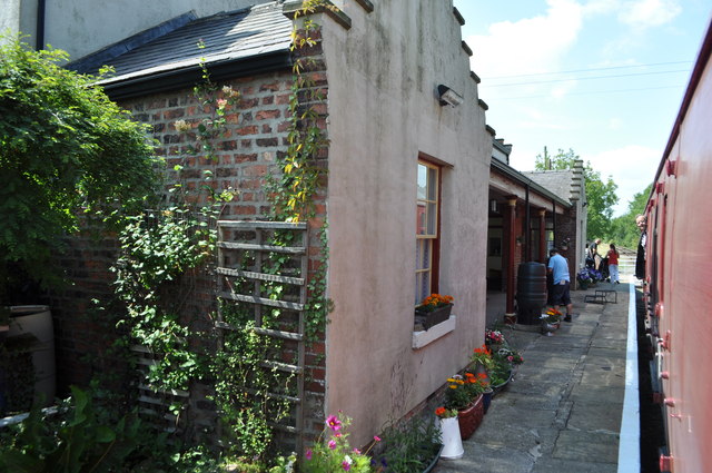
Constable Burton railway station
Constable Burton railway station is a disused railway station on the Wensleydale Railway, in North Yorkshire, England. It was built to serve Constable...

Finghall railway station
Finghall railway station is on the Wensleydale Railway and serves the village of Finghall in North Yorkshire, England. Adjacent to the station is a manually...
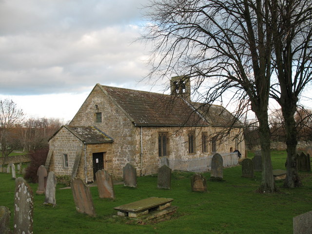
Finghall
Finghall is a village and civil parish in North Yorkshire, England. == History == The village is mentioned in the Domesday Book as Fingall when it belonged...

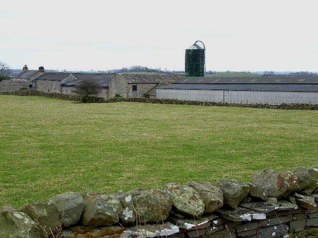
Akebar
Akebar is a township and civil parish in North Yorkshire, England, about eight miles south of Richmond. It consists of a caravan site, as well as several...
Hutton Hang
Hutton Hang is a hamlet and civil parish in the Richmondshire district of North Yorkshire, England. The population taken at the 2011 census was less than...
Nearby Amenities
Located within 500m of 54.312848,-1.7406779Have you been to Wilkinson Wood?
Leave your review of Wilkinson Wood below (or comments, questions and feedback).