Boundary Plantation

Wood, Forest in Derbyshire Derbyshire Dales

England

Boundary Plantation

View across pasture to the Jug and Glass Inn from Green Lane The Jug and Glass Inn is located on the A515
View across pasture to the Jug and Glass Inn from Green Lane Credit: Philip Cornwall

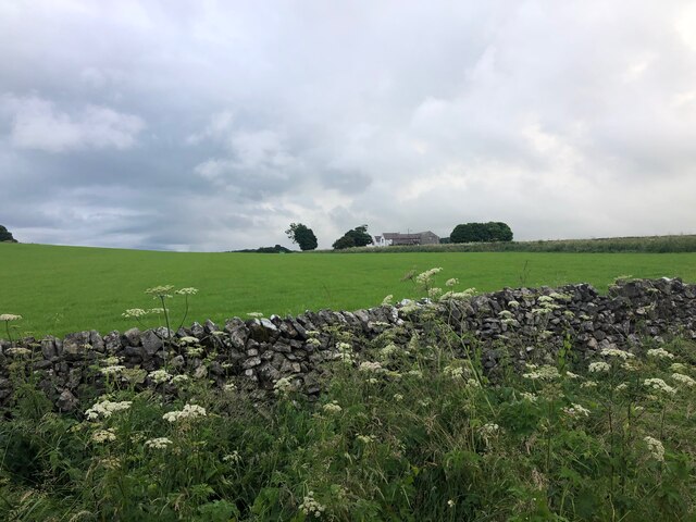
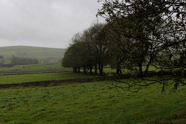
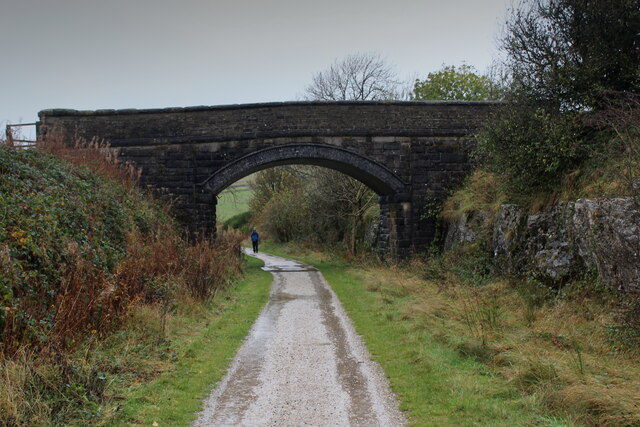
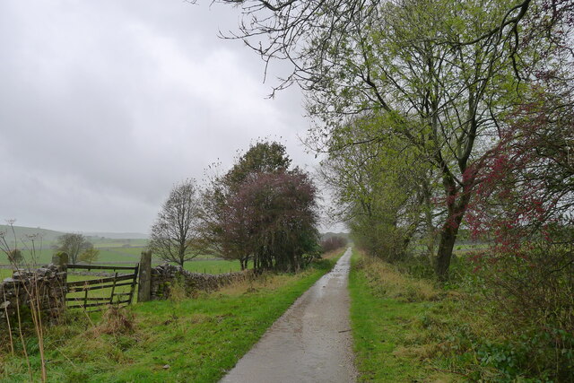
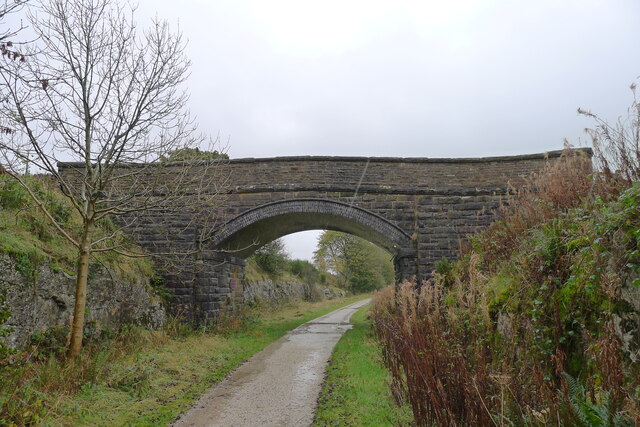
Boundary Plantation is a picturesque woodland located in Derbyshire, England. Covering an expansive area, this plantation is nestled within the beautiful landscape of the Derbyshire countryside. The woodland is known for its dense and diverse collection of trees, creating a serene and peaceful atmosphere for visitors.

The plantation primarily consists of deciduous trees such as oak, beech, and birch, which add to the enchanting beauty of the area throughout the year. These trees provide a rich canopy that offers shade during the summer months and a vibrant display of colors during the autumn season. Additionally, there are several coniferous trees, including pine and spruce, which provide a contrasting green hue and contribute to the overall biodiversity of the plantation.

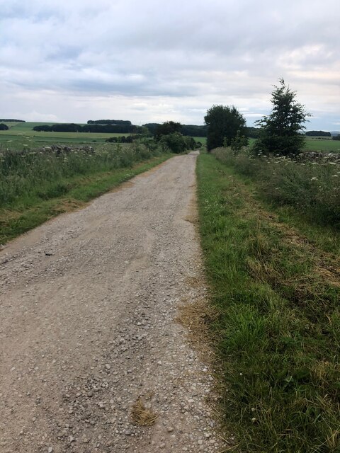
The woodland is home to a variety of wildlife, making it a popular destination for nature enthusiasts and birdwatchers. Visitors may spot various bird species, including woodpeckers, owls, and finches, as well as mammals such as deer, foxes, and squirrels. The plantation also has a network of walking trails, allowing visitors to explore the area and observe the flora and fauna at their own pace.

Boundary Plantation is easily accessible, with designated parking areas available for visitors. The woodland is a popular spot for recreational activities such as picnicking, hiking, and photography. The tranquil ambiance and natural beauty of Boundary Plantation make it an ideal destination for individuals seeking a peaceful retreat in the heart of Derbyshire's countryside.

If you have any feedback on the listing, please let us know in the comments section below.

Boundary Plantation Images

Images are sourced within 2km of 53.150896/-1.7494141 or Grid Reference SK1661. Thanks to Geograph Open Source API. All images are credited.

View across pasture to the Jug and Glass Inn from Green Lane The Jug and Glass Inn is located on the A515
View across pasture to the Jug and Glass Inn from Green Lane
The Jug and Glass Inn is located on the A515
Green Lane A well maintained track near Caskinlow Farm
Green Lane
A well maintained track near Caskinlow Farm
Old Milestone, A515 In the parish of Hartington, buried in vegetation on the West side of the road.

Listed by Historic England see <span class="nowrap"><a title="https://historicengland.org.uk/listing/the-list/list-entry/1087841" rel="nofollow ugc noopener" href="https://historicengland.org.uk/listing/the-list/list-entry/1087841">Link</a><img style="margin-left:2px;" alt="External link" title="External link - shift click to open in new window" src="https://s1.geograph.org.uk/img/external.png" width="10" height="10"/></span>


Inscription: London / 148 / Derby / 22 Miles // Buxton / 11 Miles // Ashbourne / 9 Miles

Maker: J Haywood Junᴿ / Phoenix Foundry / Derby

Milestone Society National ID: DE_BXAB12
Old Milestone, A515
In the parish of Hartington, buried in vegetation on the West side of the road. Listed by Historic England see LinkExternal link Inscription: London / 148 / Derby / 22 Miles // Buxton / 11 Miles // Ashbourne / 9 Miles Maker: J Haywood Junᴿ / Phoenix Foundry / Derby Milestone Society National ID: DE_BXAB12
Pastures between Heathcote and Biggin Countryside as seen from the Tissington Trail
Pastures between Heathcote and Biggin
Countryside as seen from the Tissington Trail
Tissington Trail near Biggin Farm access track crosses over the trail on a substantial bridge
Tissington Trail near Biggin
Farm access track crosses over the trail on a substantial bridge
The Tissington Trail north of Biggin
"Dream of Noise and Wheels and Coal and Steam" The title is from the plaque on the left pier.
"Dream of Noise and Wheels and Coal and Steam"
The title is from the plaque on the left pier.
Hartington Station Looking towards Hartington Station from the footpath at Hand Dale.
Hartington Station
Looking towards Hartington Station from the footpath at Hand Dale.
The High Peak Trail A very cold and icy section of the trail just south east of the A515 road bridge.
The High Peak Trail
A very cold and icy section of the trail just south east of the A515 road bridge.
Dewpond A Dewpond in the field.
Dewpond
A Dewpond in the field.
Old Limekiln This old Limekiln is next to the road and access to Hartington Station car park.
Old Limekiln
This old Limekiln is next to the road and access to Hartington Station car park.
Footpath The start of the footpath across the fields up to Leanlow.
Footpath
The start of the footpath across the fields up to Leanlow.
Field boundary A limestone boundary wall up to Caskinlow  together with an electricity supply line.
Field boundary
A limestone boundary wall up to Caskinlow together with an electricity supply line.
Railway Viaduct The underside of one of the viaduct arches.
Railway Viaduct
The underside of one of the viaduct arches.
Patterned Brickwork The viaduct is built  with a slight curve hence the brickwork has an unusual finish.
Patterned Brickwork
The viaduct is built with a slight curve hence the brickwork has an unusual finish.
Contractors A specialist contractor surveying the over bridge on the High Peak Trail.
Contractors
A specialist contractor surveying the over bridge on the High Peak Trail.
Contractors 2 Another vehicle used to move scaffolding underneath the bridge to enable inspection. Not much room for pedestrians using the trail.
Contractors 2
Another vehicle used to move scaffolding underneath the bridge to enable inspection. Not much room for pedestrians using the trail.
Iron fence post The post has been recycled from a section of narrow gauge rail, there were several different narrow gauge lines in the locality all used in the extraction of  sand for use in the nearby brick works.
Iron fence post
The post has been recycled from a section of narrow gauge rail, there were several different narrow gauge lines in the locality all used in the extraction of sand for use in the nearby brick works.
Show me another place!

Boundary Plantation is located at Grid Ref: SK1661 (Lat: 53.150896, Lng: -1.7494141)

Administrative County: Derbyshire

District: Derbyshire Dales

Police Authority: Derbyshire

What 3 Words

///commit.astounded.earliest. Near Newhaven, Derbyshire

Related Wikis

Friden Goods Yard

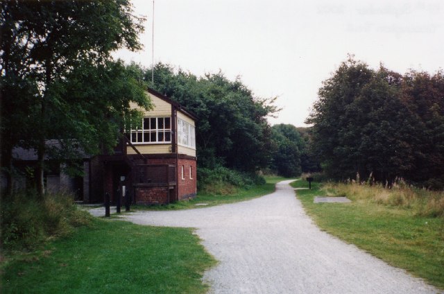
Friden Goods Yard was a goods station located on the Cromford and High Peak Railway near the villages of Friden in Derbyshire. Mostly for moving mineral...

Friden, Derbyshire

Friden is a hamlet in the civil parish of Hartington Nether Quarter, Derbyshire, England. It is 11 miles (18 km) south-east of Buxton, just off the Newhaven...

Newhaven, Derbyshire

Newhaven is a hamlet in the county of Derbyshire, England, east of Hartington and west of Cromford. The principal employer in the area is DSF Refractories...
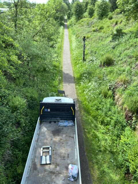
High Peak Trail

The High Peak Trail is a 17-mile (27 km) trail for walkers, cyclists and horse riders in the Peak District of England. Running from Dowlow (53.2059°N 1...

Middleton and Smerrill

Middleton and Smerrill is a civil parish within the Derbyshire Dales district, in the county of Derbyshire, England. Largely rural except for the village...

Hartington Nether Quarter

Hartington Nether Quarter is a civil parish in the Derbyshire Dales district of Derbyshire, England. The parish was created from the subdivision of the...

Hartington railway station

Hartington railway station is a former railway station which operated from 1899 to 1963. It was built to serve the village of Hartington (grid reference...

Gib Hill

Gib Hill is a large burial mound in the Peak District, Derbyshire, England. It is thought to be a Neolithic oval barrow with an Early Bronze Age round...

Nearby Amenities

Located within 500m of 53.150896,-1.7494141
The data included in this document is from www.openstreetmap.org. The data is made available under ODbL.

Have you been to Boundary Plantation?

Leave your review of Boundary Plantation below (or comments, questions and feedback).