Sherholt Plantation

Wood, Forest in Staffordshire East Staffordshire

England

Sherholt Plantation

St Mary's Church, Dunstall
St Mary's Church, Dunstall Credit: Ian S

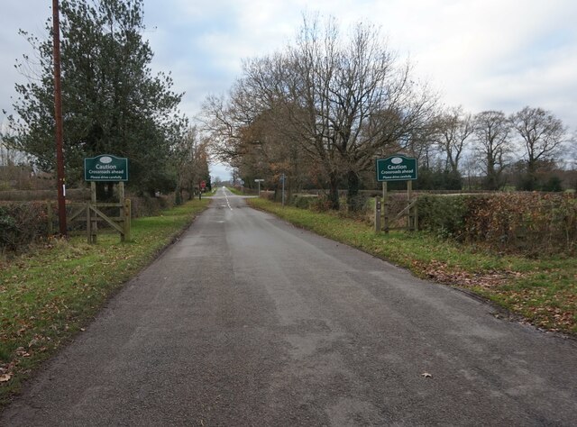
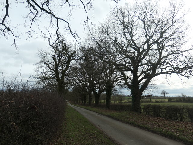
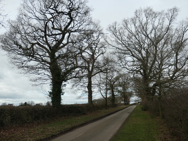
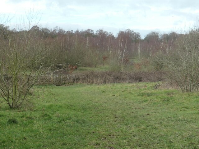
Sherholt Plantation is a picturesque woodland located in the county of Staffordshire, England. Situated amidst the rolling hills and serene countryside, it covers an expansive area of land filled with an abundance of diverse flora and fauna.

The plantation is predominantly composed of dense deciduous trees, such as oak, beech, and birch, which create a rich and vibrant canopy overhead. These trees provide a haven for numerous bird species, including woodpeckers, thrushes, and owls, making it a popular spot for birdwatchers and nature enthusiasts.

The forest floor is covered with a thick layer of moss, ferns, and wildflowers, creating a lush carpet that adds to the natural beauty of the plantation. Walking trails meander through the woods, offering visitors the opportunity to explore and immerse themselves in the peaceful surroundings.

Sherholt Plantation is also home to a variety of wildlife, including deer, rabbits, squirrels, and foxes. The dense vegetation and tranquil atmosphere provide an ideal habitat for these animals, making it a haven for wildlife lovers.

The plantation is open to the public throughout the year, allowing people to enjoy its natural splendor in all seasons. Whether it's a leisurely stroll, a picnic with family and friends, or simply finding solitude in nature, Sherholt Plantation offers a tranquil escape from the bustling city life.

Overall, Sherholt Plantation in Staffordshire is a captivating woodland that showcases the beauty and diversity of nature. Its idyllic setting, rich biodiversity, and tranquil atmosphere make it a must-visit destination for anyone seeking a peaceful retreat in the heart of the English countryside.

If you have any feedback on the listing, please let us know in the comments section below.

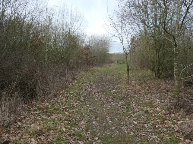
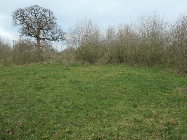
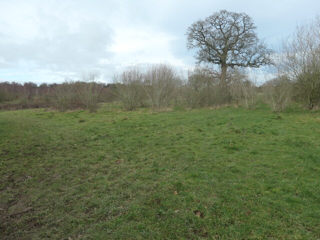
Sherholt Plantation Images

Images are sourced within 2km of 52.777391/-1.7524962 or Grid Reference SK1620. Thanks to Geograph Open Source API. All images are credited.
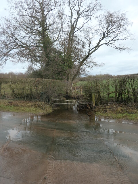
St Mary's Church, Dunstall
WW1 war memorial, St Mary's Church, Dunstall
Public footpath leading to Fernhill Farm
Dunstall Hill towards Dunstall Cross
Sich Lane, heading south towards Lucepool This lane is shown as tree-lined on the large-scale OS map surveyed in the 1880s. It is single track, like many of the back roads in this part of Staffordshire. The boundary between two civil parishes runs down the road - Yoxall and Barton under Needwood.
Sich Lane, heading south towards Lucepool
This lane is shown as tree-lined on the large-scale OS map surveyed in the 1880s. It is single track, like many of the back roads in this part of Staffordshire. The boundary between two civil parishes runs down the road - Yoxall and Barton under Needwood.
Sich Lane, heading north towards Whitewood This lane is shown as tree-lined on the large-scale OS map surveyed in the 1880s. It is single track, like many of the back roads in this part of Staffordshire. The boundary between two civil parishes runs down the road - Yoxall and Barton under Needwood.
Sich Lane, heading north towards Whitewood
This lane is shown as tree-lined on the large-scale OS map surveyed in the 1880s. It is single track, like many of the back roads in this part of Staffordshire. The boundary between two civil parishes runs down the road - Yoxall and Barton under Needwood.
Field east of Longcroft Farm About 90 metres above sea level.
Field east of Longcroft Farm
About 90 metres above sea level.
Stony Ford, at Stonyford Where Lin Brook becomes Stonyford Brook. Other maps [but not the OS] call the hamlet Stoneyford.
Stony Ford, at Stonyford
Where Lin Brook becomes Stonyford Brook. Other maps [but not the OS] call the hamlet Stoneyford.
Stony Ford is no longer stony Where Lin Brook becomes Stonyford Brook.
Stony Ford is no longer stony
Where Lin Brook becomes Stonyford Brook.
A path into Brankley Pastures Heading north from the Woodlane - Dunstall Cross road. Brankley Pastures is a new nature reserve created by the Staffordshire Wildlife Trust. This area was part of the Needwood Forest until the trees were cleared for agriculture in the 1800s. The Trust are trying to recreate the former 'wood pasture' landscape here.
A path into Brankley Pastures
Heading north from the Woodlane - Dunstall Cross road. Brankley Pastures is a new nature reserve created by the Staffordshire Wildlife Trust. This area was part of the Needwood Forest until the trees were cleared for agriculture in the 1800s. The Trust are trying to recreate the former 'wood pasture' landscape here.
New wood pasture, Brankley Pastures Brankley Pastures is a new nature reserve created by the Staffordshire Wildlife Trust. This area was part of the Needwood Forest until the trees were cleared for agriculture in the 1800s. The Trust are trying to recreate the former 'wood pasture' landscape here.
New wood pasture, Brankley Pastures
Brankley Pastures is a new nature reserve created by the Staffordshire Wildlife Trust. This area was part of the Needwood Forest until the trees were cleared for agriculture in the 1800s. The Trust are trying to recreate the former 'wood pasture' landscape here.
Tree and faint path, Brankley Pastures Brankley Pastures is a new nature reserve created by the Staffordshire Wildlife Trust. This area was part of the Needwood Forest until the trees were cleared for agriculture in the 1800s. The Trust are trying to recreate the former 'wood pasture' landscape here.
Tree and faint path, Brankley Pastures
Brankley Pastures is a new nature reserve created by the Staffordshire Wildlife Trust. This area was part of the Needwood Forest until the trees were cleared for agriculture in the 1800s. The Trust are trying to recreate the former 'wood pasture' landscape here.
Staffordshire Wildlife Trust's Brankley Pastures Brankley Pastures is a new nature reserve created by the Staffordshire Wildlife Trust. This area was part of the Needwood Forest until the trees were cleared for agriculture in the 1800s. The Trust are trying to recreate the former 'wood pasture' landscape here.
Staffordshire Wildlife Trust's Brankley Pastures
Brankley Pastures is a new nature reserve created by the Staffordshire Wildlife Trust. This area was part of the Needwood Forest until the trees were cleared for agriculture in the 1800s. The Trust are trying to recreate the former 'wood pasture' landscape here.
Show me another place!

Sherholt Plantation is located at Grid Ref: SK1620 (Lat: 52.777391, Lng: -1.7524962)

Administrative County: Staffordshire

District: East Staffordshire

Police Authority: Staffordshire

What 3 Words

///commit.bravest.scar. Near Barton under Needwood, Staffordshire

Nearby Locations

Sherholt Plantation

Related Wikis

Brankley Pastures

Brankley Pastures is a nature reserve of the Staffordshire Wildlife Trust. It is about 2.5 miles (4.0 km) miles north-west of Barton-under-Needwood, in...

Dunstall

Dunstall is a small village and civil parish in the borough of East Staffordshire, Staffordshire, England. It lies between Burton upon Trent and Barton...

Barton Gate

Barton Gate is a village in Staffordshire, England.For population details at the 2011 census see Barton-under-Needwood.
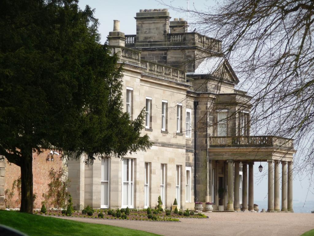
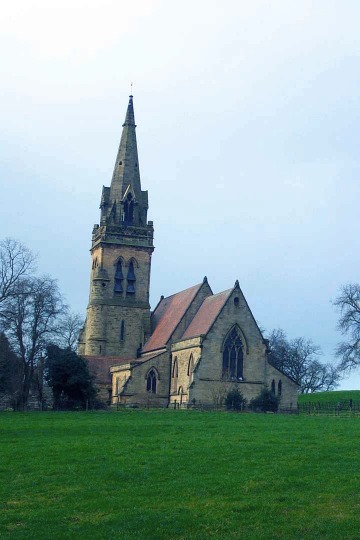
Dunstall Hall

Dunstall Hall is a privately owned 18th century mansion house near Tatenhill, Burton upon Trent, Staffordshire. It is a Grade II* listed building. �...

Barton-under-Needwood

Barton-under-Needwood is a large village in the East Staffordshire district of Staffordshire, England. Situated a mile from the A38, and located between...
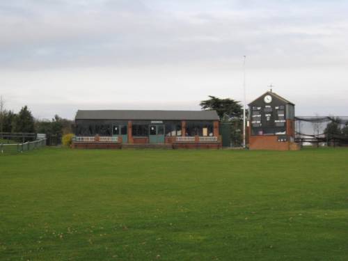
Deer Park, Dunstall

Deer Park is a cricket ground within the grounds of Dunstall Hall, Dunstall, Staffordshire. The first recorded match on the ground was in 1997, when the...

John Taylor High School

John Taylor High School is a specialist science and leadership academy located in the East Staffordshire village of Barton-under-Needwood, near Burton...

Rangemore

Rangemore is a village in the borough of East Staffordshire, situated approximately 4 miles (6 km) west of the town of Burton upon Trent, on a ridge of...

Nearby Amenities

Located within 500m of 52.777391,-1.7524962
Power: tower
Source: Bing
Lat/Long: 52.7776522/-1.7490574
Power: tower
Source: Bing
Lat/Long: 52.7764061/-1.7453774
Power: tower
Source: Bing
Lat/Long: 52.7805661/-1.7575117
The data included in this document is from www.openstreetmap.org. The data is made available under ODbL.

Have you been to Sherholt Plantation?

Leave your review of Sherholt Plantation below (or comments, questions and feedback).