Mouldron Belt
Wood, Forest in Yorkshire Richmondshire
England
Mouldron Belt

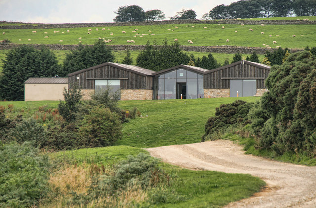
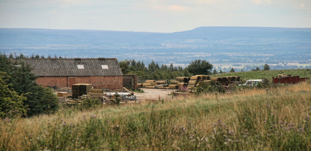
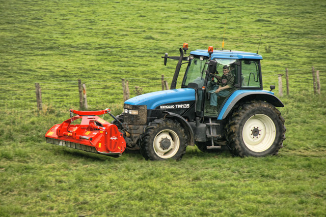
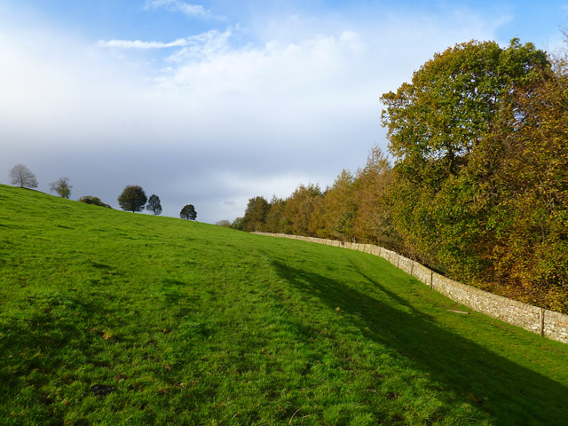
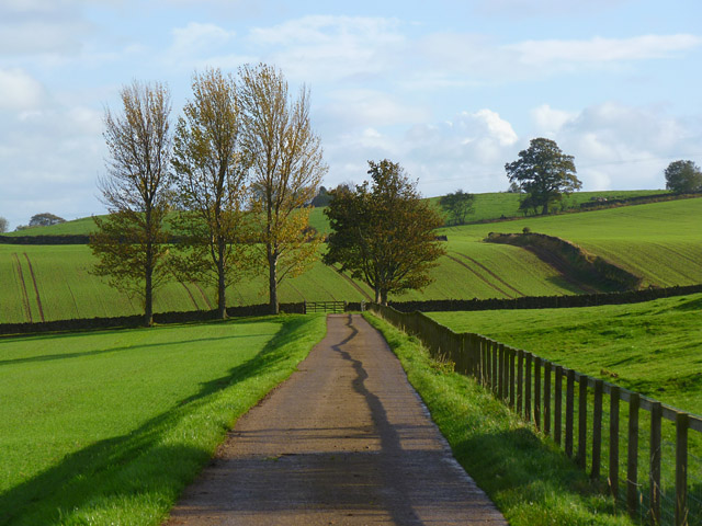
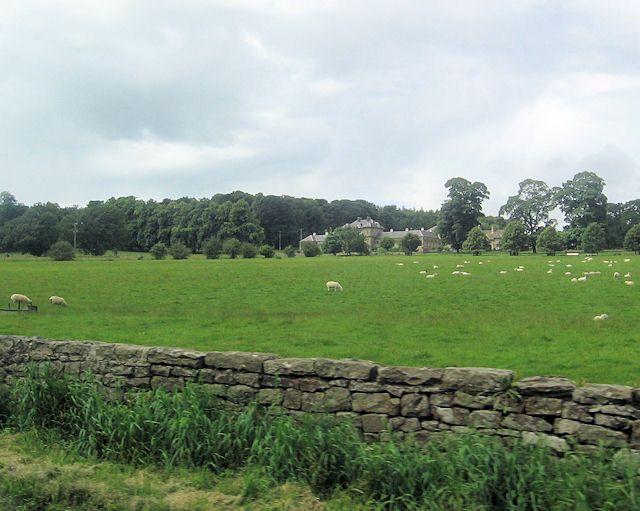
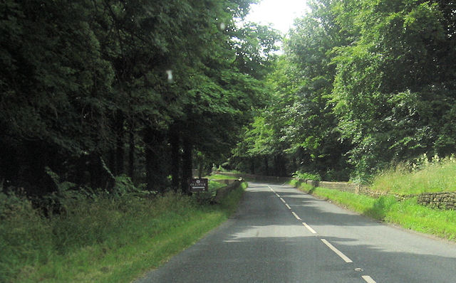
Mouldron Belt, located in Yorkshire, is a picturesque woodland area known for its natural beauty and lush forests. Situated in the heart of the county, this enchanting woodland stretches across a vast expanse, providing a haven for nature lovers and outdoor enthusiasts alike.
The woodland is characterized by its diverse range of tree species, including oak, beech, and ash, which create a rich tapestry of colors throughout the seasons. The dense canopy of leaves offers a cool and refreshing atmosphere, perfect for those seeking respite from the summer heat.
Mouldron Belt is home to a variety of wildlife, providing a sanctuary for numerous species. Visitors may catch glimpses of elusive creatures such as deer, foxes, and squirrels as they explore the tranquil walking trails that wind through the woods. Birdwatchers will also be delighted by the array of avian species that inhabit the area, with sightings of woodpeckers, owls, and thrushes being common.
For outdoor enthusiasts, Mouldron Belt offers a range of activities to enjoy. Hiking and cycling trails crisscross the woodland, allowing visitors to immerse themselves in the natural surroundings. There are also designated picnic areas where families can enjoy a leisurely lunch amidst the beauty of the forest.
Mouldron Belt truly is a hidden gem within Yorkshire, offering a serene and captivating escape from the hustle and bustle of everyday life. Whether it's for a peaceful stroll, a picnic, or simply to appreciate the beauty of nature, this woodland is a must-visit destination for anyone seeking tranquility in a stunning natural setting.
If you have any feedback on the listing, please let us know in the comments section below.
Mouldron Belt Images
Images are sourced within 2km of 54.424933/-1.7436705 or Grid Reference NZ1603. Thanks to Geograph Open Source API. All images are credited.


Mouldron Belt is located at Grid Ref: NZ1603 (Lat: 54.424933, Lng: -1.7436705)
Division: North Riding
Administrative County: North Yorkshire
District: Richmondshire
Police Authority: North Yorkshire
What 3 Words
///splat.passports.maddening. Near Richmond, North Yorkshire
Nearby Locations
Related Wikis
Aske, North Yorkshire
Aske is a civil parish in the Richmondshire district of North Yorkshire, England, about two miles north of Richmond. According to the 2001 census it had...

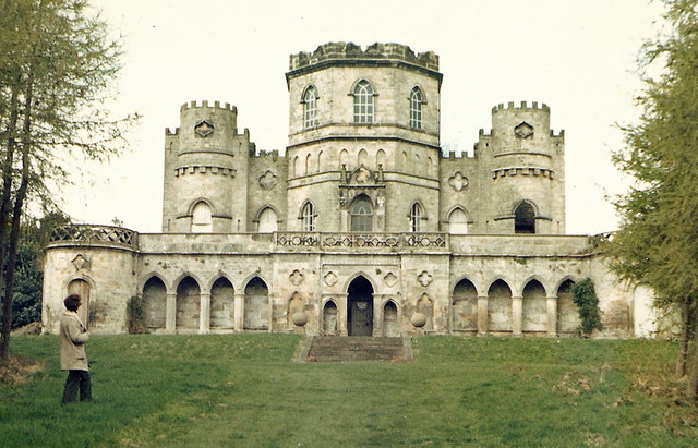
Aske Hall
Aske Hall is a Georgian country house, with parkland attributed to Capability Brown, 1.5 miles (2.4 km) north of Richmond, North Yorkshire, England. It...

Richmond Racecourse
Richmond Racecourse was a British horse racing track situated at Richmond, North Yorkshire at first High Moor, then Low Moor, from 1765 to 1776. It was...

Richmond Barracks, North Yorkshire
Richmond Barracks was a military installation in Richmond, North Yorkshire. == History == The barracks were built as the depot of the two battalions of...

Victoria Hospital, Richmond
The Victoria Hospital was a health facility in Queen's Road, Richmond, North Yorkshire, England. It is now used as a funeral director's offices and remains...
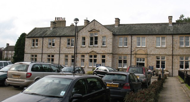
Friary Community Hospital
The Friary Community Hospital is a health facility in Queen's Road, Richmond, North Yorkshire, England. It is managed by South Tees Hospitals NHS Foundation...

Greyfriars, Richmond
Greyfriars, Richmond was a friary in North Yorkshire, England. Its bell tower still survives and dates from the 15th century. Its establishment as a friary...

St Joseph and St Francis Xavier Church
St Joseph and St Francis Xavier Church is a Roman Catholic Parish church in Richmond, North Yorkshire. It is situated between Newbiggin and Victoria Road...
Nearby Amenities
Located within 500m of 54.424933,-1.7436705Have you been to Mouldron Belt?
Leave your review of Mouldron Belt below (or comments, questions and feedback).