Bath Coppice
Wood, Forest in Gloucestershire Cotswold
England
Bath Coppice
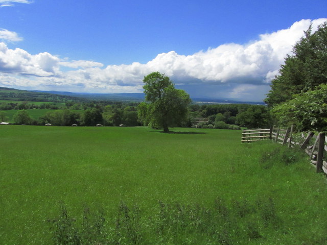
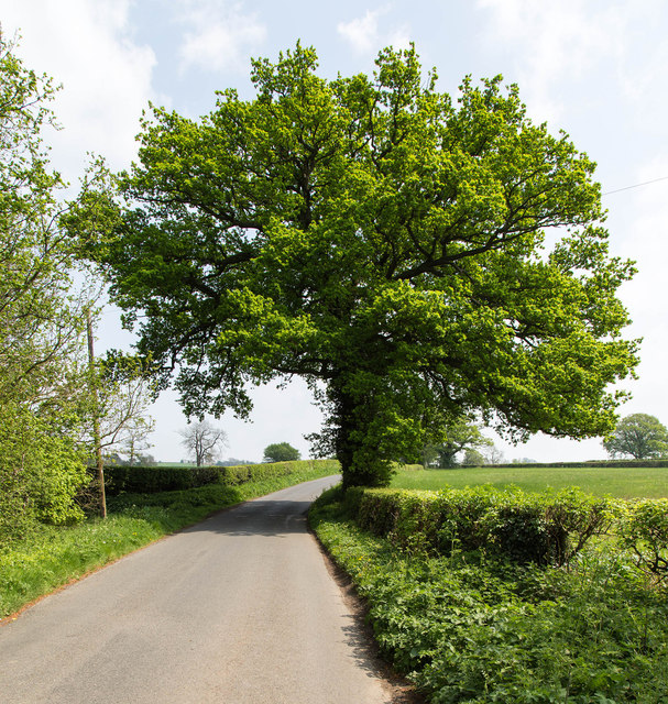
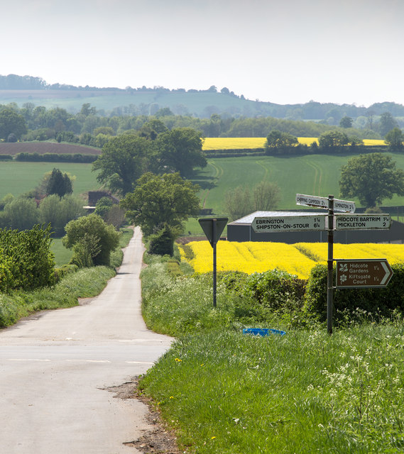
Bath Coppice is a picturesque woodland located in the county of Gloucestershire, England. Covering an area of approximately 100 acres, it is a stunning example of a traditional coppice woodland. The forest is situated near the village of Bath, hence its name, and is easily accessible from nearby towns and cities.
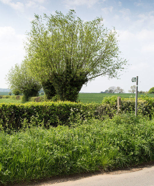
The woodland is predominantly composed of native tree species, including oak, ash, beech, and hazel. These trees have been carefully managed through coppicing, a traditional method of woodland management where trees are cut down and allowed to regrow from the stump. This practice has been carried out in Bath Coppice for centuries, resulting in a diverse and thriving woodland ecosystem.
The forest is rich in biodiversity, providing habitat for a wide range of wildlife. Bird species such as woodpeckers, owls, and various songbirds can be spotted among the trees, while mammals like deer, foxes, and badgers roam the forest floor. The woodland also supports a variety of plant species, including bluebells, wild garlic, and ferns, creating a beautiful and vibrant landscape.
Bath Coppice is a popular destination for nature enthusiasts, hikers, and photographers. It offers numerous walking trails, allowing visitors to explore the woodland and enjoy its natural beauty. The peaceful atmosphere and stunning scenery make it an ideal spot for relaxation and an escape from the hustle and bustle of everyday life.
Overall, Bath Coppice is a charming woodland that showcases the beauty of Gloucestershire's natural landscape. With its rich history, diverse wildlife, and serene atmosphere, it is a must-visit destination for anyone seeking a tranquil and immersive nature experience.
If you have any feedback on the listing, please let us know in the comments section below.
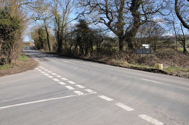
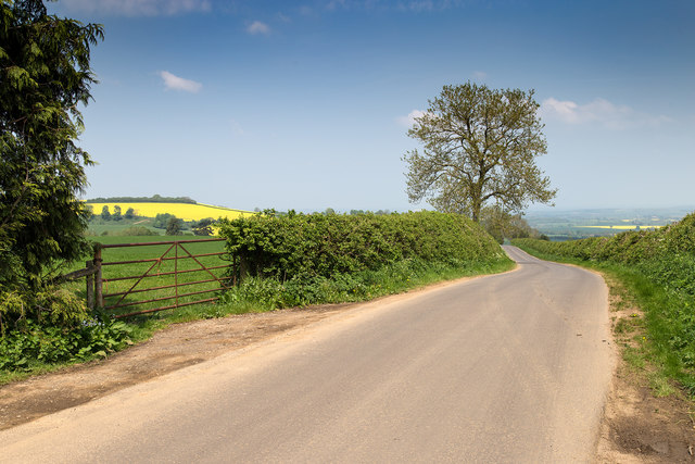
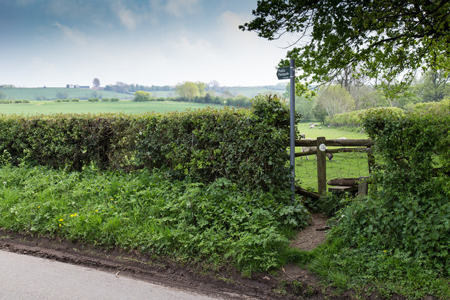
Bath Coppice Images
Images are sourced within 2km of 52.085447/-1.7582645 or Grid Reference SP1643. Thanks to Geograph Open Source API. All images are credited.


Bath Coppice is located at Grid Ref: SP1643 (Lat: 52.085447, Lng: -1.7582645)
Administrative County: Gloucestershire
District: Cotswold
Police Authority: Gloucestershire
What 3 Words
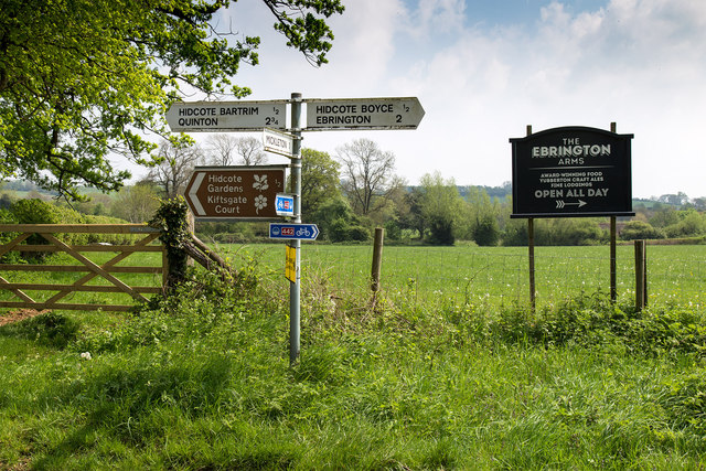
///reds.monopoly.premature. Near Mickleton, Gloucestershire
Nearby Locations
Related Wikis
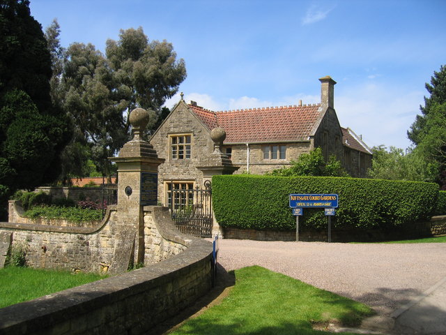
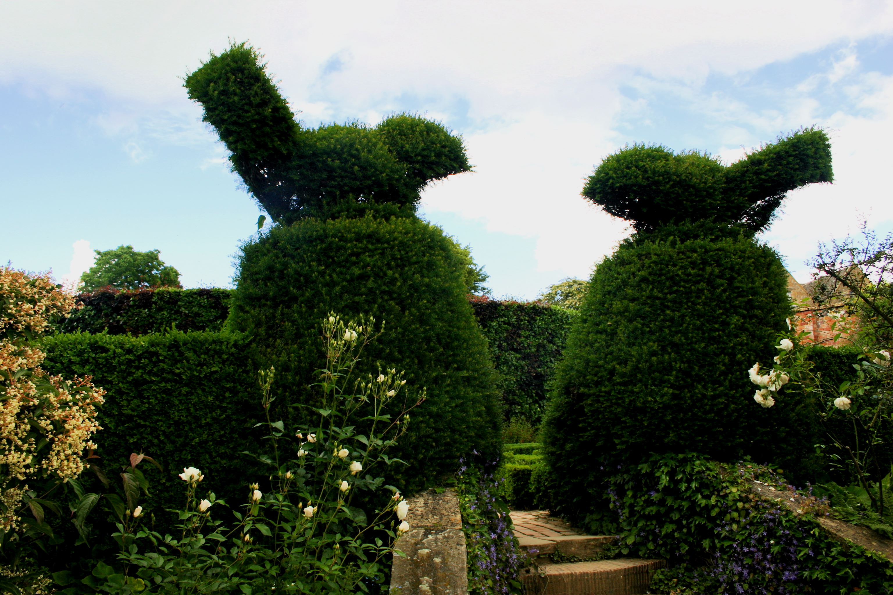
Kiftsgate Court Gardens
Kiftsgate Court Gardens is situated above the village of Mickleton in the county of Gloucestershire, England, in the far north of the county close to the...
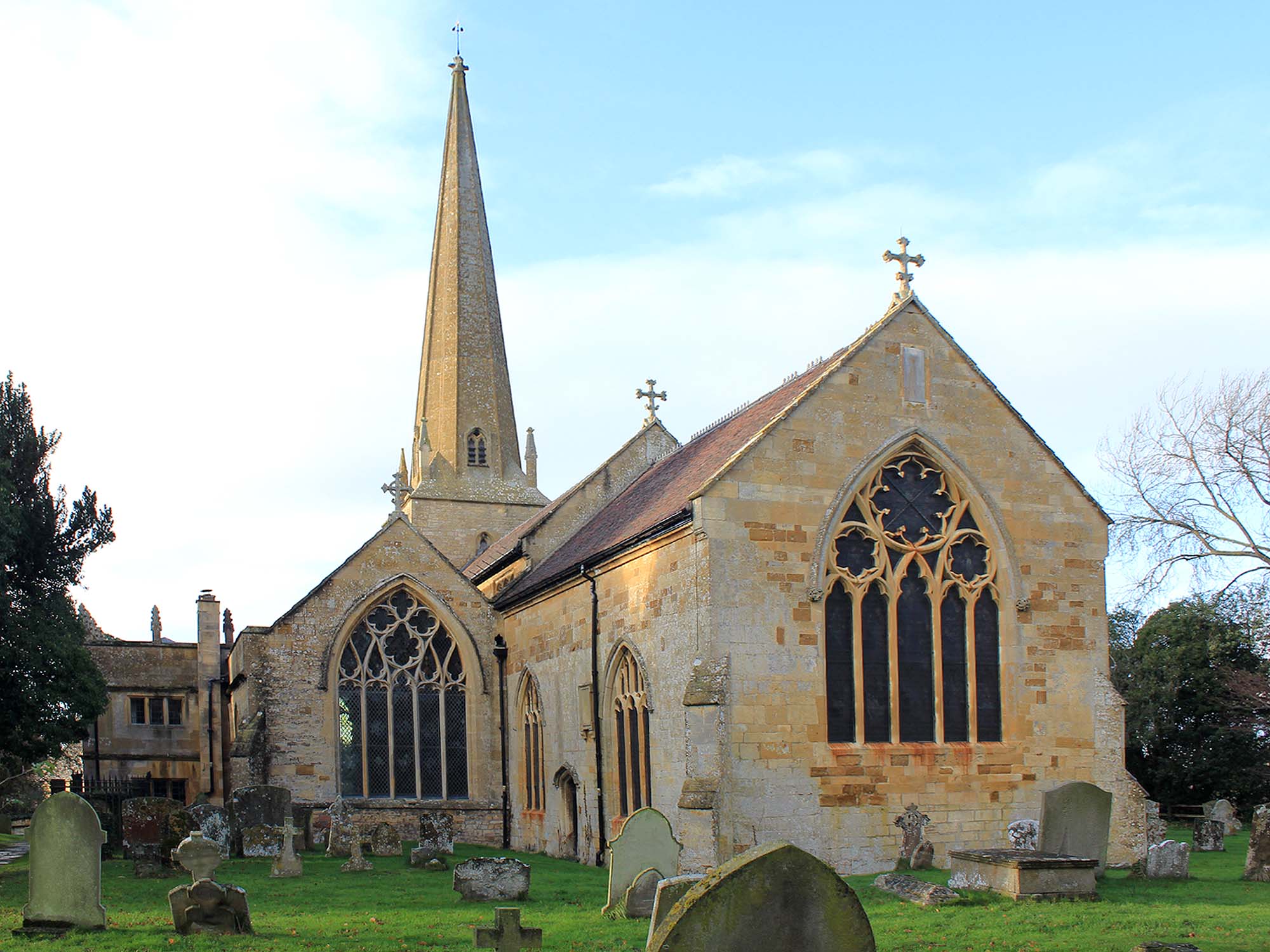
Church of St Lawrence, Mickleton
The Anglican Church of St Lawrence at Mickleton in the Cotswold District of Gloucestershire, England was built in the 12th century. It is a grade I listed...
Hidcote Manor Garden
Hidcote Manor Garden is a garden in the United Kingdom, located at the village of Hidcote Bartrim, near Chipping Campden, Gloucestershire. It is one of...

Three Ways House Hotel
Three Ways House Hotel is a hotel in Mickleton, Gloucestershire, England. Built in 1871 as a house for a doctor, the now hotel features a weekly dining...

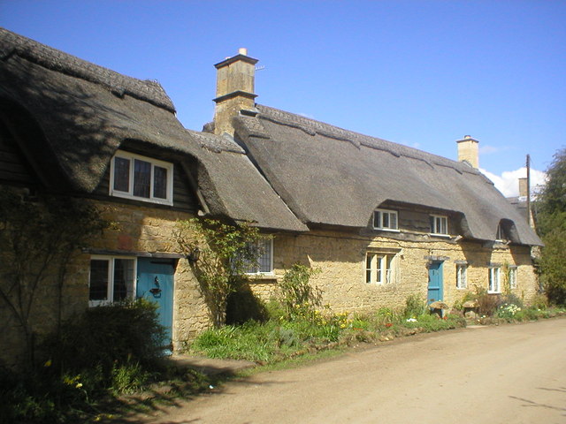
Mickleton, Gloucestershire
Mickleton is a village and civil parish in the Cotswold District of Gloucestershire, England. The village is the northernmost settlement in Gloucestershire...
Hidcote Bartrim
Hidcote Bartrim is a hamlet and former civil parish, now in the parish of Ebrington, in the Cotswold district of Gloucestershire, England. The nearest...

Mickleton Halt railway station
Mickleton Halt was a railway station on the Great Western Railway line between Oxford and Worcester Shrub Hill to serve Mickleton and the surrounding villages...
Touch FM (Stratford-upon-Avon)
102 Touch FM was an Independent Local Radio station broadcasting to the town of Stratford-upon-Avon and much of the counties of Warwickshire, Worcestershire...
Related Videos
Mickleton and The Hidcotes. Walking the Cotswolds. Stone cottages, thatched roofs and countryside.
A morning walk around Mickleton, The Hidcotes and the surrounding countryside in The Cotswolds, Gloucestershire England, UK.

Hidcote Manor Gardens - Full Tour & Review | Cotswolds Day Out | National Trust Tours
This week we visit Hidcote Manor Gardens in the Cotswolds. We give you a full tour and review of this stunning Gloucestershire ...

Nearby Amenities
Located within 500m of 52.085447,-1.7582645Have you been to Bath Coppice?
Leave your review of Bath Coppice below (or comments, questions and feedback).