Howden Plantation

Wood, Forest in Durham

England

Howden Plantation

Field and Gibbet Hills from Douglas Lane The farm at Gibbet Hills lies south-west of the small County Durham Town of Crook. The view is northwards from a minor road known as Douglas Lane and very close to the position of a now lost trig point known to the OS as 'Diggins'; it had flush bracket number S4212.
Field and Gibbet Hills from Douglas Lane Credit: Trevor Littlewood

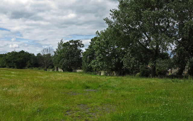
Howden Plantation is a historically significant woodland area located in Durham, England. Situated on the outskirts of the city, it spans over a vast area, encompassing dense forest and beautifully preserved woodlands. The plantation is named after the nearby village of Howden-le-Wear, which has a rich history dating back several centuries.

The plantation is renowned for its diverse ecosystem, featuring a variety of tree species such as oak, beech, and ash. These trees provide a haven for numerous wildlife species, including birds, mammals, and insects. The enchanting woodland trails offer visitors a chance to explore the natural habitat and observe the indigenous flora and fauna.

In addition to its natural beauty, Howden Plantation holds immense historical significance. It is believed to have been used as a hunting ground by the Bishops of Durham in medieval times. The remains of ancient deer parks can still be found within its boundaries, serving as a reminder of its noble past.

Today, the plantation is managed by local authorities and conservation organizations to preserve its ecological and historical importance. Efforts are made to maintain the delicate balance of the ecosystem and protect the biodiversity within. This includes regular tree maintenance, controlled burns, and the creation of wildlife habitats.

Howden Plantation is a popular destination for nature enthusiasts, hikers, and history buffs alike. Its serene atmosphere and picturesque landscapes provide a tranquil escape from the bustling city life, offering visitors a chance to connect with nature and immerse themselves in the rich history of the area.

If you have any feedback on the listing, please let us know in the comments section below.

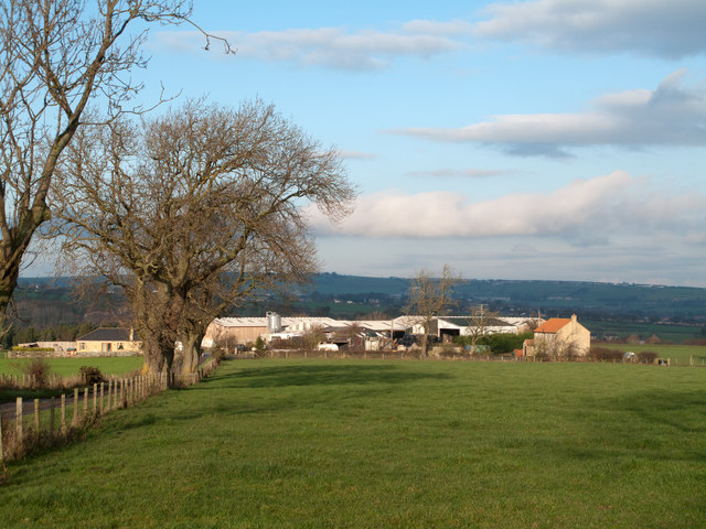
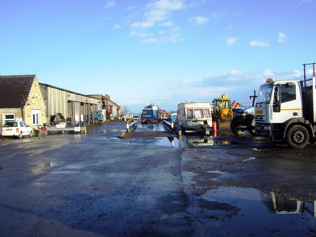
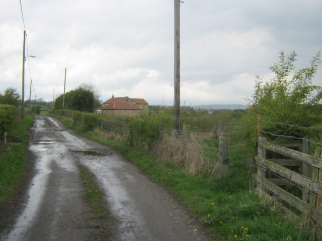
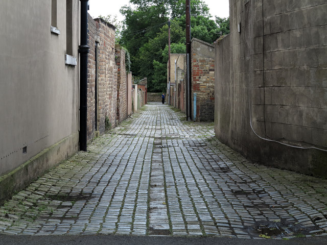
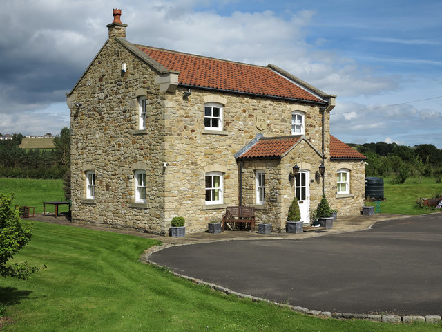
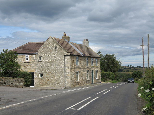
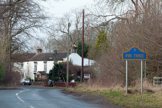
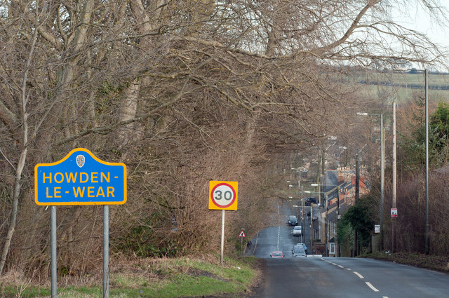
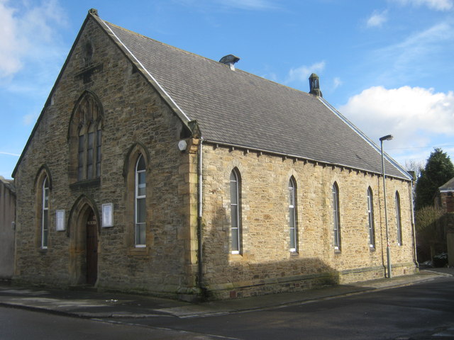
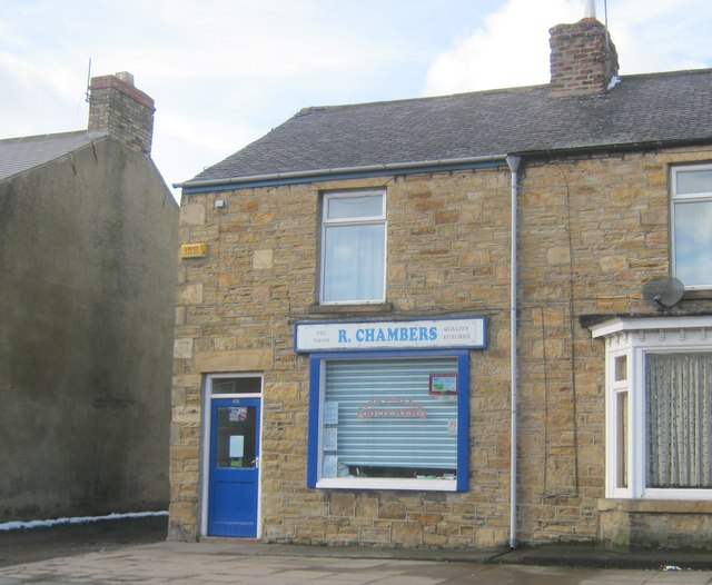
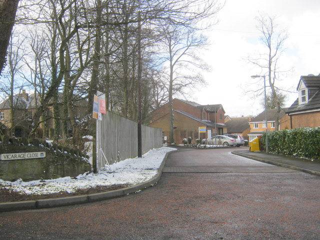
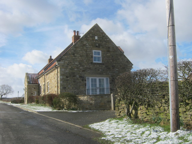
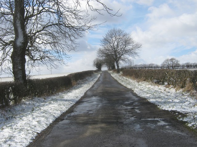
Howden Plantation Images

Images are sourced within 2km of 54.696122/-1.7450377 or Grid Reference NZ1633. Thanks to Geograph Open Source API. All images are credited.

Field and Gibbet Hills from Douglas Lane The farm at Gibbet Hills lies south-west of the small County Durham Town of Crook. The view is northwards from a minor road known as Douglas Lane and very close to the position of a now lost trig point known to the OS as 'Diggins'; it had flush bracket number S4212.
Field and Gibbet Hills from Douglas Lane
The farm at Gibbet Hills lies south-west of the small County Durham Town of Crook. The view is northwards from a minor road known as Douglas Lane and very close to the position of a now lost trig point known to the OS as 'Diggins'; it had flush bracket number S4212.
Constantine Farm
Constantine Farm
Alder wood at Low Barnes Alders will grow in wet conditions and these occupy a former oxbow lake which was once the course of the River Wear.
Alder wood at Low Barnes
Alders will grow in wet conditions and these occupy a former oxbow lake which was once the course of the River Wear.
Slotburn Bridge Bridge for the Weardale Railway over Low Lane.
Slotburn Bridge
Bridge for the Weardale Railway over Low Lane.
Public footpath on track to and beyond Victoria Farm Another footpath leaves the track at right to Victoria
Public footpath on track to and beyond Victoria Farm
Another footpath leaves the track at right to Victoria
Western side of Field House Bridge over the Weardale Railway
Level crossing over the Weardale Railway for access to Enginemans Terrace
Howden-le-Wear: back lane of School Street The back lane is a feature of terraced housing throughout the UK.
Houses of School Street are certainly to the right in the image and possibly to the left as well. The building immediately to the left is an unusually named public house: 'The Australian'.
Howden-le-Wear: back lane of School Street
The back lane is a feature of terraced housing throughout the UK. Houses of School Street are certainly to the right in the image and possibly to the left as well. The building immediately to the left is an unusually named public house: 'The Australian'.
Victoria Farm Although named as a farm this property has been totally gentrified and now seems to be just an attractive detached home.
Victoria Farm
Although named as a farm this property has been totally gentrified and now seems to be just an attractive detached home.
Bay Horse Cottages Bay Horse Cottages, (as named on OS Explorer map 305), lie beside the road connecting Howden-le-Wear and Witton-le-Wear. Individually they are named as Hill Crest, (nearest the camera), and Hill Top.
Bay Horse Cottages
Bay Horse Cottages, (as named on OS Explorer map 305), lie beside the road connecting Howden-le-Wear and Witton-le-Wear. Individually they are named as Hill Crest, (nearest the camera), and Hill Top.
Field near Howden-le-Wear The field is at the southern end of Howden-le-Wear beside the road connecting the village with Witton-le-Wear.
Field near Howden-le-Wear
The field is at the southern end of Howden-le-Wear beside the road connecting the village with Witton-le-Wear.
Minor road entering Fir Tree Fir Tree is a small County Durham village on the A68; the road here however is a minor one entering from the east. The blue and yellow road sign is characteristic of a style of signage introduced by County Durham some years ago.
Minor road entering Fir Tree
Fir Tree is a small County Durham village on the A68; the road here however is a minor one entering from the east. The blue and yellow road sign is characteristic of a style of signage introduced by County Durham some years ago.
Road entering Howden-le-Wear Howden-le-Wear is a small County Durham village; the road is a minor one seen entering from the south. The blue and yellow road sign is characteristic of a style of signage introduced by County Durham some years ago.
Road entering Howden-le-Wear
Howden-le-Wear is a small County Durham village; the road is a minor one seen entering from the south. The blue and yellow road sign is characteristic of a style of signage introduced by County Durham some years ago.
Methodist Church in High Street, Howden-le-Wear
Butcher's shop in High Street, Howden-le-Wear
Vicarage Close in Howden-le-Wear
Douglas Cottage in Douglas Lane
Douglas Lane westwards towards the A68
Show me another place!

Howden Plantation is located at Grid Ref: NZ1633 (Lat: 54.696122, Lng: -1.7450377)

Unitary Authority: County Durham

Police Authority: Durham

What 3 Words

///abstracts.stream.mobile. Near Crook, Co. Durham

Related Wikis

Beechburn railway station

Beechburn railway station served the hamlet of Low Beechburn, County Durham, England, from 1845 to 1965 on the Stanhope and Tyne Railway. == History... ==

Howden-le-Wear

Howden-le-Wear is a village in County Durham, in England. Howden-le-Wear is approximately 1 mile south of the large market town of Crook. It has a number...

North Bitchburn

North Bitchburn is a small village in County Durham, England. It is situated 3 miles (4.8 km) north west of Bishop Auckland, near Howden-le-Wear. In the...

Wear Valley Junction railway station

Wear Valley Junction railway station primarily served as an interchange between the Wear Valley Line and the Weardale Extension Railway (WXR) between 1847...

Nearby Amenities

Located within 500m of 54.696122,-1.7450377
Mini Roundabout
Direction: clockwise
Lat/Long: 54.6951182/-1.7494902
The Green Tree
Disused Amenity: pub
Note: https://whatpub.com/pubs/DUR/9/green-tree-howden-le-wear
Lat/Long: 54.6945327/-1.7469729
The Plantation
Disused Amenity: pub
Lat/Long: 54.6965169/-1.7459858
Fast Food
Created By: Potlatch 0.10f
Lat/Long: 54.6941908/-1.7479295
Howden le Wear
Place: village
Source: NPE
Wikidata: Q607656
Wikipedia: en:Howden-le-Wear
Lat/Long: 54.6956709/-1.7501908
Beechburn
Historic Railway: station
Railway: site
Source: NPE
Wikidata: Q105081830
Wikipedia: en:Beechburn railway station
Lat/Long: 54.6923399/-1.7485606
Bus Stop
Hargill Road
Naptan AtcoCode: 13004269B
Naptan Bearing: NE
Naptan BusStopType: CUS
Naptan CommonName: Hargill Road
Naptan Indicator: north east bound
Naptan Landmark: Landmark not known
Naptan NaptanCode: durawpda
Naptan Notes: Opposite boundary of 30 and 31 Hargill Road- Howden-le-Wear
Naptan Street: Hargill Road
Naptan Verified: no
Source: naptan_import
Lat/Long: 54.6953306/-1.7525148
Bus Stop
Valley Tce-North Bitchburn Bank
Bench: no
Naptan AtcoCode: 13004312D
Naptan Bearing: SE
Naptan BusStopType: MKD
Naptan CommonName: Valley Tce-North Bitchburn Bank
Naptan Indicator: SE-bound
Naptan Landmark: Landmark not known
Naptan NaptanCode: durawtmp
Naptan Notes: On boundary of 9 and 10 Valley Terrace- Howden-le-Wear
Naptan Street: A689
Naptan Verified: no
Shelter: no
Source: naptan_import
Lat/Long: 54.6924412/-1.7435229
Bus Stop
Valley Tce-North Bitchburn Bank
Bench: no
Naptan AtcoCode: 13004312H
Naptan Bearing: NW
Naptan BusStopType: MKD
Naptan CommonName: Valley Tce-North Bitchburn Bank
Naptan Indicator: NW-bound
Naptan Landmark: Landmark not known
Naptan NaptanCode: durawtmt
Naptan Notes: Opposite 2 Valley Terrace- Howden-le-Wear
Naptan Street: A689
Naptan Verified: no
Shelter: no
Source: naptan_import
Lat/Long: 54.6927266/-1.7438097
Bus Stop
Bridge Street
Naptan AtcoCode: 13004313D
Naptan Bearing: SE
Naptan CommonName: Bridge Street
Naptan Indicator: south east bound
Naptan Landmark: Landmark not known
Naptan NaptanCode: durawtmw
Naptan Notes: 17 Bridge Street- Howden-le-Wear.
Naptan Street: A689
Naptan Verified: no
Source: naptan_import
Lat/Long: 54.6947017/-1.748252
Bus Stop
Bridge Street
Naptan AtcoCode: 13004313H
Naptan Bearing: NW
Naptan CommonName: Bridge Street
Naptan Indicator: north west bound
Naptan Landmark: Landmark not known
Naptan NaptanCode: durawtpa
Naptan Notes: 31 Bridge Street- Howden-le-Wear.
Naptan Street: A689
Naptan Verified: no
Source: naptan_import
Lat/Long: 54.6945851/-1.7483458
Bus Stop
High Street
Naptan AtcoCode: 13004314B
Naptan Bearing: NE
Naptan CommonName: High Street
Naptan Indicator: north east bound
Naptan Landmark: Landmark not known
Naptan NaptanCode: durawtpd
Naptan Notes: Boundary of 55 and 56 High Street- Hoiwden-le-Wear.
Naptan Street: A689
Naptan Verified: no
Shelter: yes
Source: naptan_import
Lat/Long: 54.6959241/-1.7483065
Bus Stop
High Street
Bench: no
Naptan AtcoCode: 13004314F
Naptan Bearing: SW
Naptan CommonName: High Street
Naptan Indicator: south west bound
Naptan Landmark: Landmark not known
Naptan NaptanCode: durawtpg
Naptan Notes: Boundary of 2 and 3 High Street- Hoiwden-le-Wear.
Naptan Street: A689
Naptan Verified: no
Shelter: no
Source: naptan_import
Lat/Long: 54.6953594/-1.7490237
Bus Stop
Cemetery
Naptan AtcoCode: 13004315A
Naptan Bearing: N
Naptan CommonName: Cemetery
Naptan Indicator: north bound
Naptan Landmark: Landmark not known
Naptan NaptanCode: durawtpj
Naptan Notes: Howden-le-Wear Cemetry- High Street- Howden-le-Wear.
Naptan Street: A689
Naptan Verified: no
Source: naptan_import
Lat/Long: 54.6974332/-1.7480023
Bus Stop
Cemetery
Naptan AtcoCode: 13004315E
Naptan Bearing: S
Naptan CommonName: Cemetery
Naptan Indicator: south bound
Naptan Landmark: Landmark not known
Naptan NaptanCode: durawtpm
Naptan Notes: Howden-le-Wear Cemetry- High Street- Howden-le-Wear.
Naptan Street: A689
Naptan Verified: no
Source: naptan_import
Lat/Long: 54.6974419/-1.7478471
Bus Stop
The Australian
Naptan AtcoCode: 13004371D
Naptan Bearing: SE
Naptan CommonName: The Australian
Naptan Indicator: south east bound
Naptan Landmark: Landmark not known
Naptan NaptanCode: durdajag
Naptan Notes: A689- opposite junction with Church Street- near The Australian (PH)- Howden-le-Wear
Naptan Street: Unclassified Road
Naptan Verified: no
Source: naptan_import
Lat/Long: 54.6956417/-1.7508528
Bus Stop
The Australian
Naptan AtcoCode: 13004371H
Naptan Bearing: NW
Naptan CommonName: The Australian
Naptan Indicator: north west bound
Naptan Landmark: Landmark not known
Naptan NaptanCode: durdajaj
Naptan Notes: On A689- SE of junction with Church Street- near The Australian (PH)- Howden-le-Wear
Naptan Street: Unclassified Road
Naptan Verified: no
Source: naptan_import
Lat/Long: 54.6955068/-1.750776
Bus Stop
North Bitchburn Bank
Bench: yes
Naptan AtcoCode: 13004704D
Naptan Bearing: SE
Naptan BusStopType: MKD
Naptan CommonName: North Bitchburn Bank
Naptan Indicator: SE-bound
Naptan Landmark: Landmark not known
Naptan NaptanCode: durdgaga
Naptan Notes: The Surtees PH on North Bitchburn Bank- at junction of A689- Howden-le-Wear
Naptan Street: North Bitcburn Bank
Naptan Verified: no
Shelter: yes
Source: naptan_import
Lat/Long: 54.6931599/-1.743549
Bus Stop
North Bitchburn Bank
Bench: no
Naptan AtcoCode: 13004704H
Naptan Bearing: NW
Naptan BusStopType: MKD
Naptan CommonName: North Bitchburn Bank
Naptan Indicator: NW-bound
Naptan Landmark: Landmark not known
Naptan NaptanCode: durdgagd
Naptan Notes: The Surtees PH on North Bitchburn Bank- at junction of A689- Howden-le-Wear
Naptan Street: North Bitcburn Bank
Naptan Verified: no
Shelter: no
Source: naptan_import
Lat/Long: 54.6929575/-1.7432361
Bus Stop
Club
Naptan AtcoCode: 13004705B
Naptan Bearing: NE
Naptan CommonName: Club
Naptan Indicator: north east bound
Naptan Landmark: Landmark not known
Naptan NaptanCode: durdgagj
Naptan Notes: Boundary of Denver House and Lindenhurst- Rumby Hill Bank- Howden-le-Wear.
Naptan Street: Rumby Hill Bank
Naptan Verified: no
Source: naptan_import
Lat/Long: 54.6976882/-1.7453009
Bus Stop
Club
Naptan AtcoCode: 13004705F
Naptan Bearing: SW
Naptan CommonName: Club
Naptan Indicator: south west bound
Naptan Landmark: Landmark not known
Naptan NaptanCode: durdgagm
Naptan Notes: Opposite boundary of Denver House and Lindenhurst- Rumby Hill Bank- Howden-le-Wear.
Naptan Street: Rumby Hill Bank
Naptan Verified: no
Source: naptan_import
Lat/Long: 54.6975803/-1.7452861
Power: tower
Lat/Long: 54.6992318/-1.7429074
Power: tower
Lat/Long: 54.6952748/-1.7384048
Turning Circle
Lat/Long: 54.6942675/-1.7464396
Give Way
Direction: backward
Lat/Long: 54.6931556/-1.7438709
Power: tower
Lat/Long: 54.69962/-1.7498377
Power: tower
Lat/Long: 54.6994591/-1.7469656
Power: tower
Lat/Long: 54.6968577/-1.7402058
Generator Method: photovoltaic
Generator Output Electricity: yes
Generator Source: solar
Generator Type: solar_photovoltaic_panel
Location: roof
Power: generator
Lat/Long: 54.6970992/-1.7495406
Generator Method: photovoltaic
Generator Output Electricity: yes
Generator Source: solar
Generator Type: solar_photovoltaic_panel
Location: roof
Power: generator
Lat/Long: 54.696721/-1.7493904
Generator Method: photovoltaic
Generator Output Electricity: yes
Generator Source: solar
Generator Type: solar_photovoltaic_panel
Location: roof
Power: generator
Lat/Long: 54.6964947/-1.7488191
Generator Method: photovoltaic
Generator Output Electricity: yes
Generator Source: solar
Generator Type: solar_photovoltaic_panel
Location: roof
Power: generator
Lat/Long: 54.6964962/-1.7489612
Post Box
Image: https://www.geograph.org.uk/photo/5907684
Ref: DL15 149
Lat/Long: 54.6952588/-1.7526586
Post Box
Image: https://www.geograph.org.uk/photo/5519676
Ref: DL15 67
Lat/Long: 54.6952991/-1.7494286
Post Office
Howden-le-Wear Post Office
Brand: Post Office
Brand Wikidata: Q1783168
Image: https://www.geograph.org.uk/photo/5519676
Ref Pol Id: 12663
Website: https://www.postoffice.co.uk/branch-finder/3183092/howden-le-wear
Lat/Long: 54.6953871/-1.7494078
One Stop
Addr City: Crook
Addr Housenumber: 41-42
Addr Postcode: DL15 8HA
Addr Street: High Street
Addr Suburb: Howden le Wear
Brand: One Stop
Brand Wikidata: Q65954217
Contact Website: https://www.onestop.co.uk/store?store=a983cfd1-0ef8-4634-acbc-e85b25a631d4
Fhrs Id: 1098879
Image: https://www.geograph.org.uk/photo/5519676
Shop: convenience
Source Addr: FHRS data
Lat/Long: 54.6954243/-1.7493515
North East Theatre Organ Association
Addr City: Crook
Addr Postcode: DL15 8EZ
Addr Suburb: Howden le Wear
Club: music
Fhrs Id: 708149
Website: https://www.netoa.org.uk/
Lat/Long: 54.6958924/-1.7480131
Fuel
Mapillary: 490949492148594
Lat/Long: 54.6935476/-1.744494
Gibson's Funeral Services
Addr City: Crook
Addr Housenumber: 41
Addr Postcode: DL15 8EX
Addr Street: Bridge Street
Addr Suburb: Howden le Wear
Mapillary: 1136454006831427
Shop: funeral_directors
Source Addr: website
Website: https://www.gibsonsfuneralservices.co.uk/
Lat/Long: 54.6948053/-1.749087
R. Chambers
Addr City: Crook
Addr Housenumber: 48
Addr Postcode: DL15 8HA
Addr Street: High Street
Addr Suburb: Howden le Wear
Fhrs Id: 303773
Image: https://www.geograph.org.uk/photo/3366069
Mapillary: 471626434100071
Shop: butcher
Lat/Long: 54.6956075/-1.7490633
Howden-le-Wear War Memorial
Historic: memorial
Mapillary: 3740371859521706
Memorial: war_memorial
Wikidata: Q66477941
Lat/Long: 54.6952146/-1.7492011
Power: transformer
Lat/Long: 54.6964683/-1.7480806
Power: pole
Lat/Long: 54.6930161/-1.7405163
Power: pole
Lat/Long: 54.6936804/-1.7430536
Power: pole
Transformer: distribution
Lat/Long: 54.6920263/-1.7425494
Power: pole
Lat/Long: 54.6933494/-1.7417957
Power: pole
Lat/Long: 54.6926689/-1.7424327
Power: pole
Lat/Long: 54.696373/-1.7502044
Power: pole
Lat/Long: 54.697141/-1.7504016
Power: pole
Lat/Long: 54.6979207/-1.7506188
Power: pole
Lat/Long: 54.6987995/-1.7507234
Fast Food
The Village Fryer
Addr City: Crook
Addr Housenumber: 38
Addr Postcode: DL15 8EX
Addr Street: Bridge Street
Addr Suburb: Howden le Wear
Cuisine: fish_and_chips
Fhrs Id: 1245076
Lat/Long: 54.694764/-1.7489438
Image: https://www.geograph.org.uk/photo/6099287
Information: guidepost
Tourism: information
Lat/Long: 54.6952197/-1.7495821
Power: pole
Lat/Long: 54.6978184/-1.7381895
Power: pole
Lat/Long: 54.6984167/-1.7394474
Power: pole
Lat/Long: 54.6990026/-1.7407081
Power: pole
Lat/Long: 54.6995962/-1.741966
Power: pole
Lat/Long: 54.7001681/-1.7431676
Grit Bin
Lat/Long: 54.6935649/-1.7455065
Addr City: Crook
Addr Postcode: DL15 8EU
Addr Street: Bridge Street
Addr Suburb: Howden le Wear
Fhrs Id: 802380
Fixme: Confirm brand. Spar?
Operator: KSC Worldwide
Shop: convenience
Lat/Long: 54.6936409/-1.7444082
Grit Bin
Fixme: Confirm with DCC ref
Lat/Long: 54.6932774/-1.7438831
Howden Colliery
Archaeological Site: industrial
Historic: archaeological_site
Source: NLS OS 1:10k
Website: http://www.dmm.org.uk/colliery/h047.htm
Lat/Long: 54.6918435/-1.7461434
Give Way
Direction: forward
Lat/Long: 54.6957802/-1.7514714
The data included in this document is from www.openstreetmap.org. The data is made available under ODbL.

Have you been to Howden Plantation?

Leave your review of Howden Plantation below (or comments, questions and feedback).